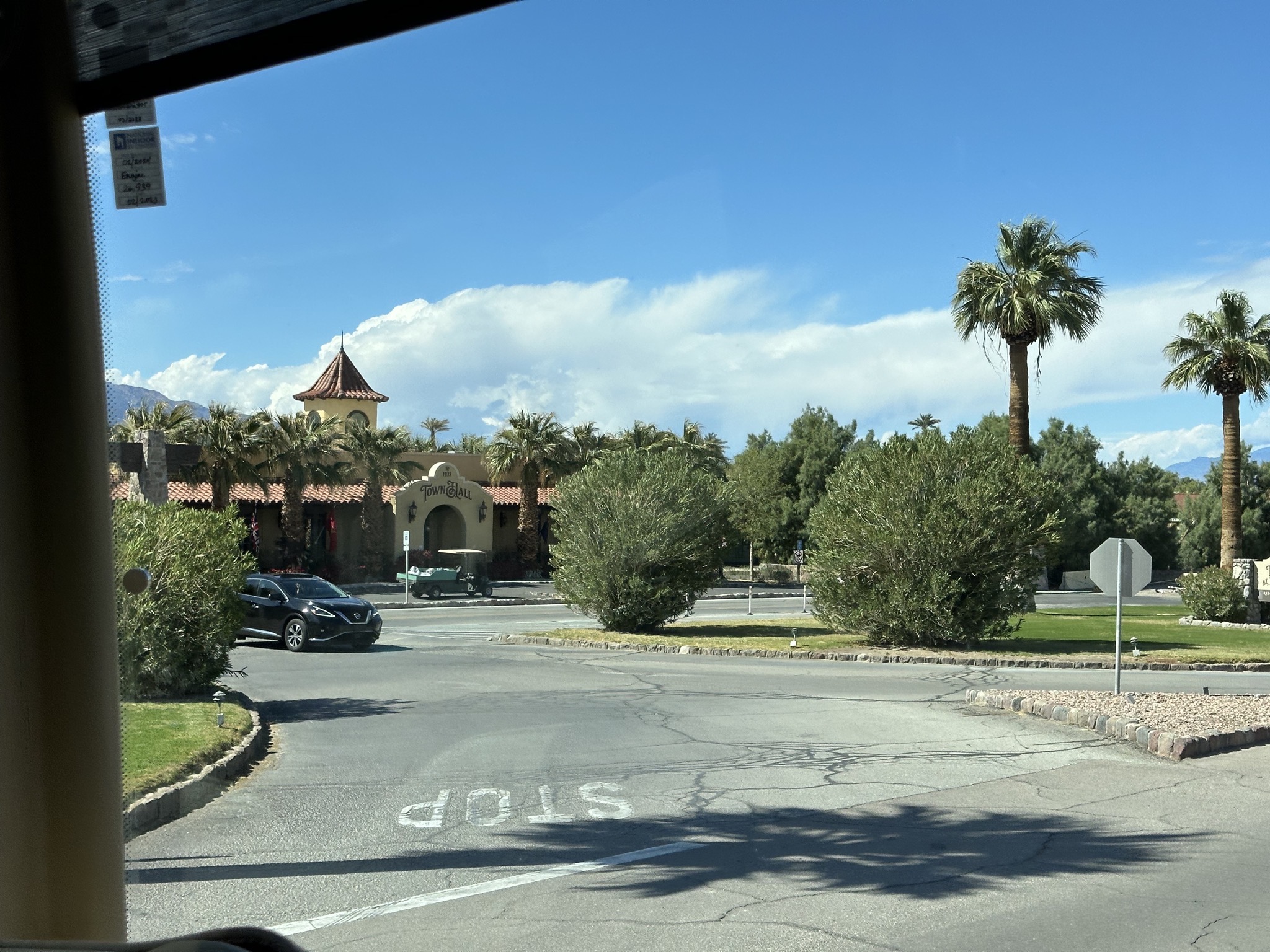
· cat · map · national park · park · RV · travel
We drove our coach 121 miles, about three hours of driving, from Las Vegas, Nevada to Death Valley, California.
Here’s the map route, heading west:
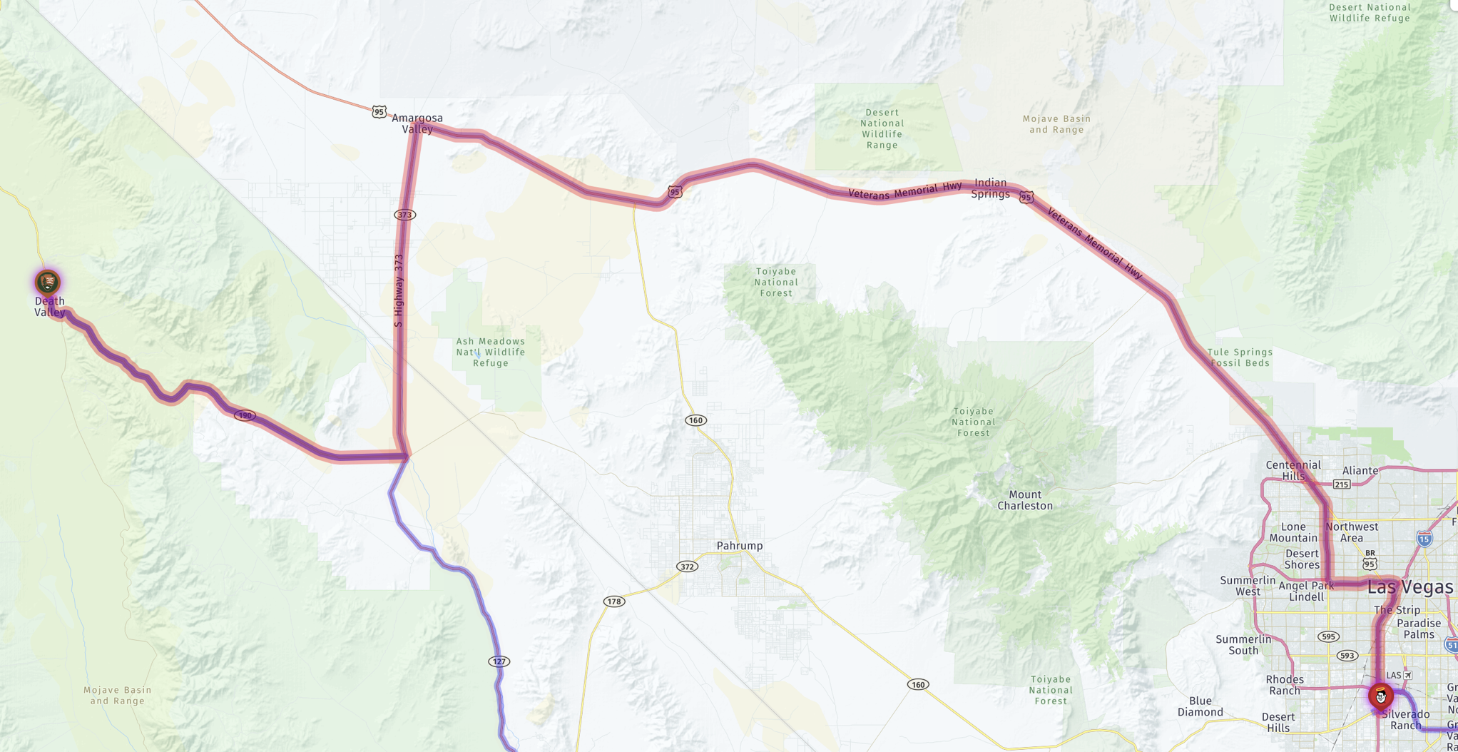
An interactive map, with our stops marked:
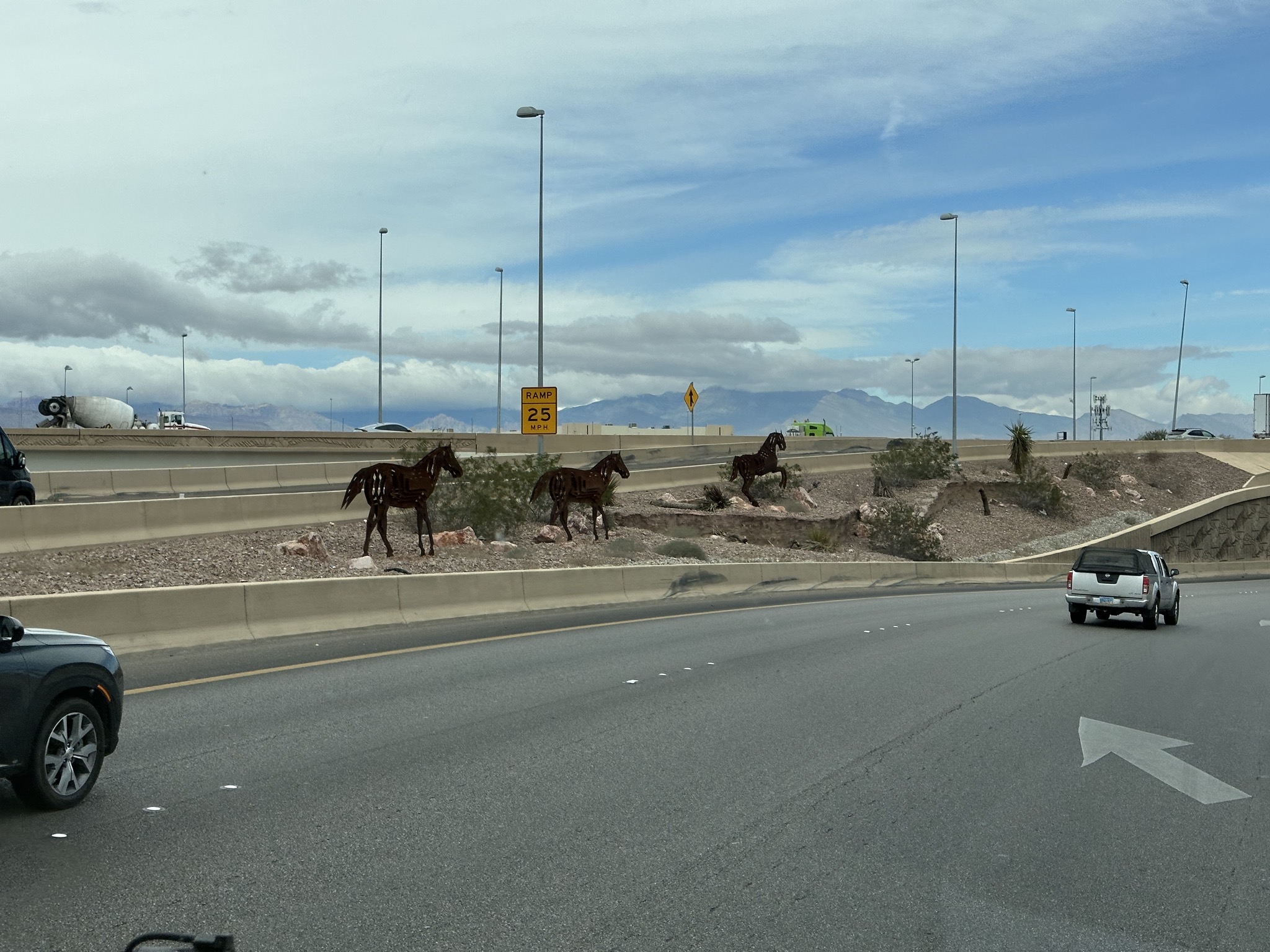
Horses artwork:
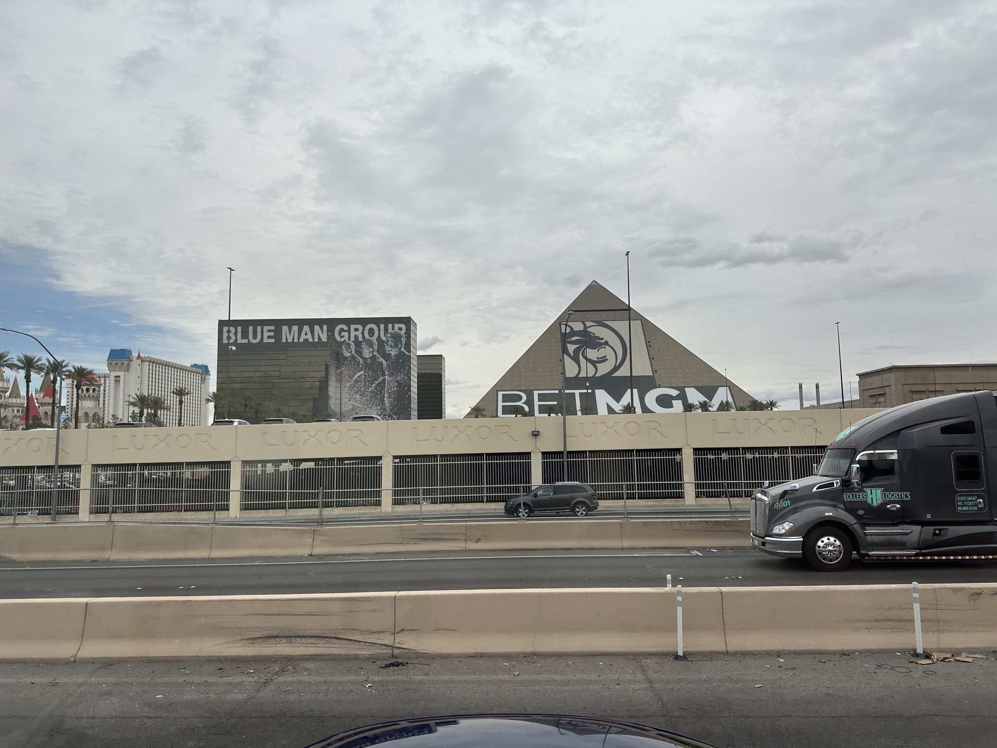
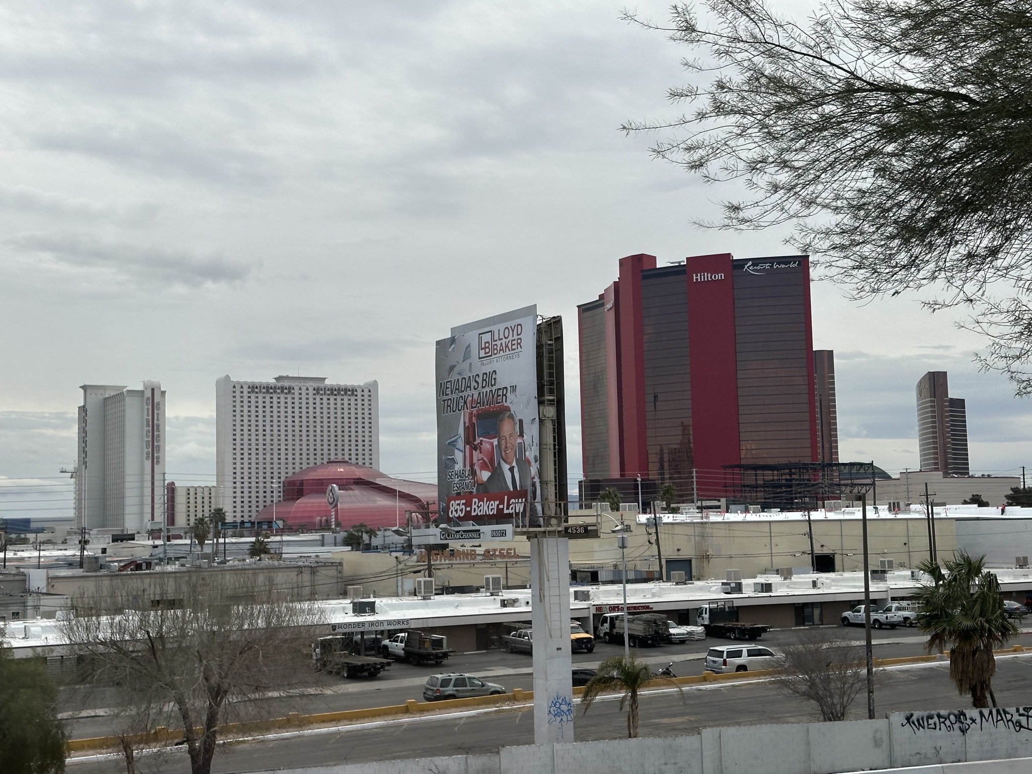
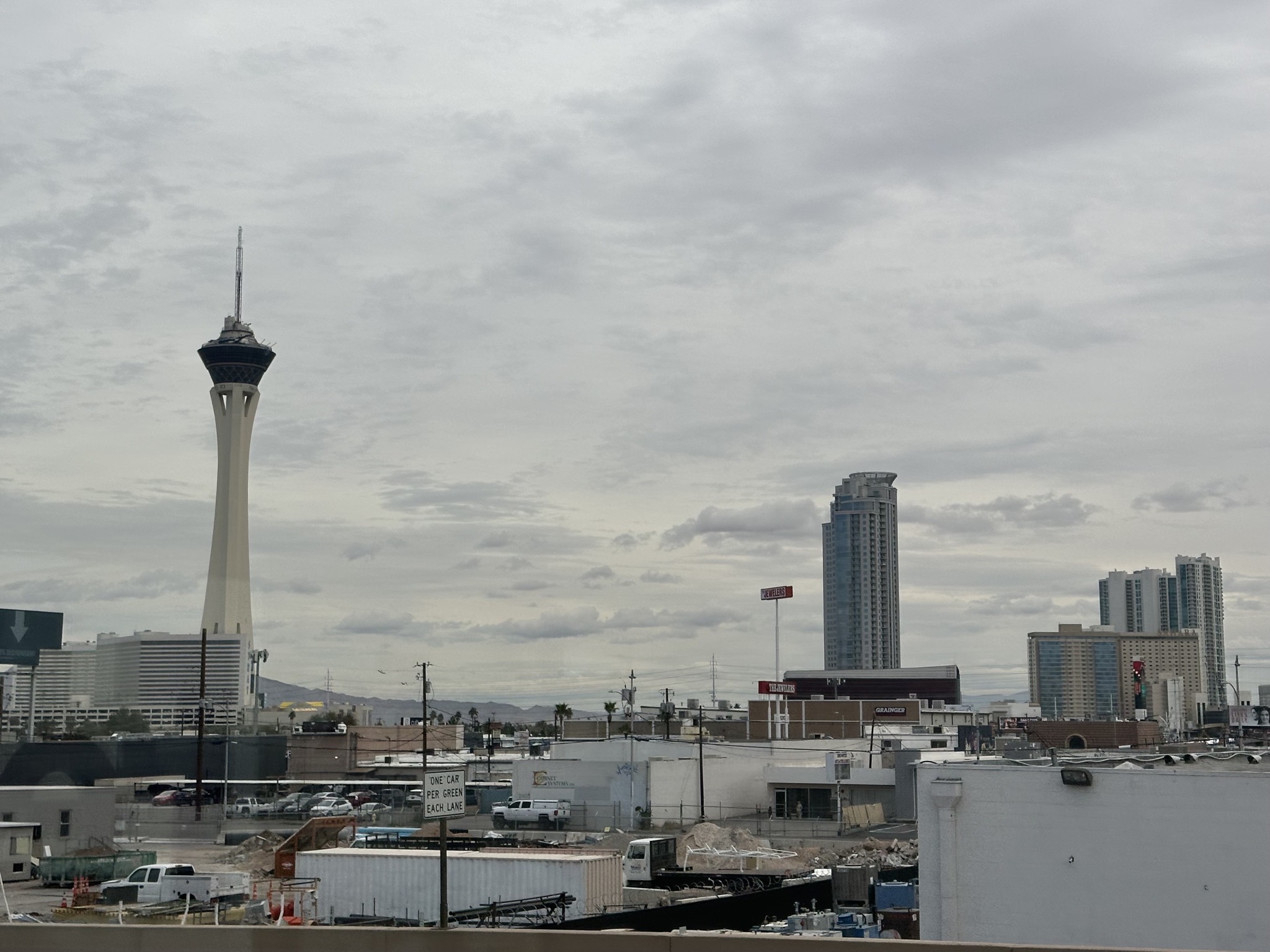
Driving past the buildings of the Vegas strip:
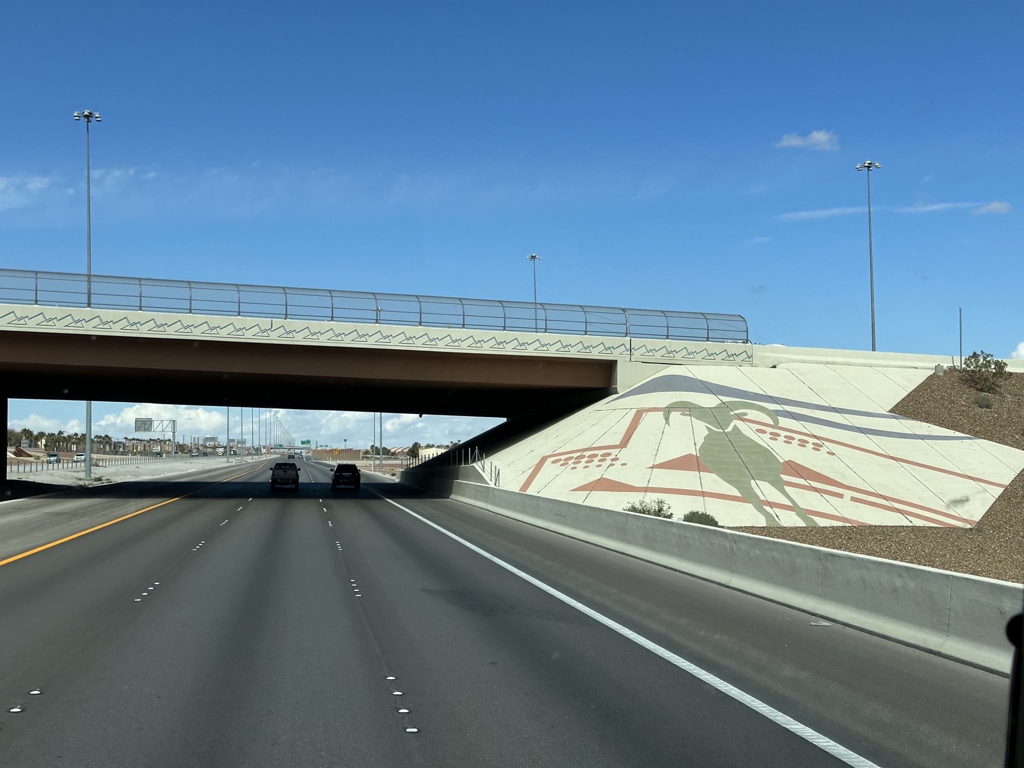
Overpass artwork:
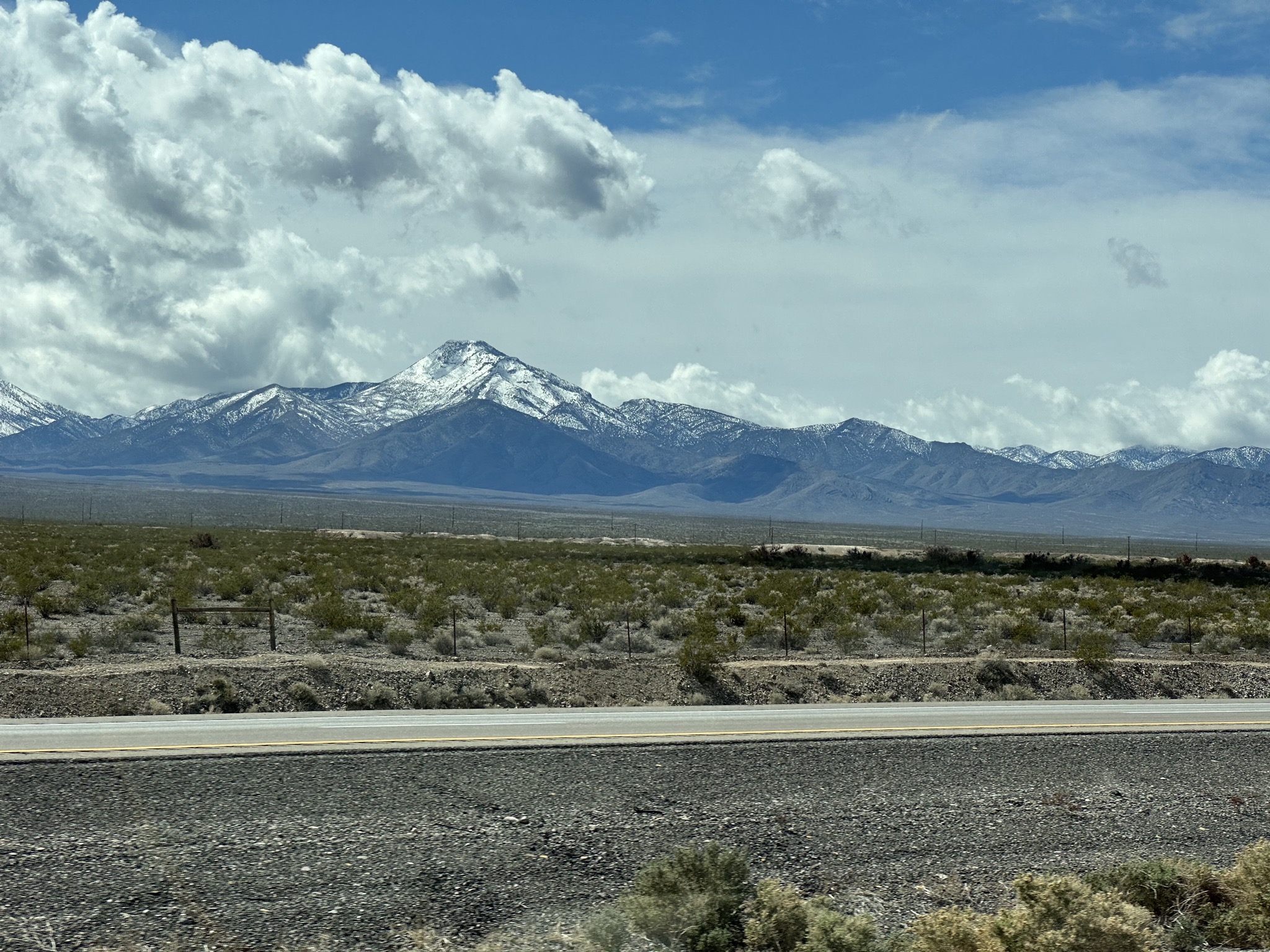
Snowy mountains:
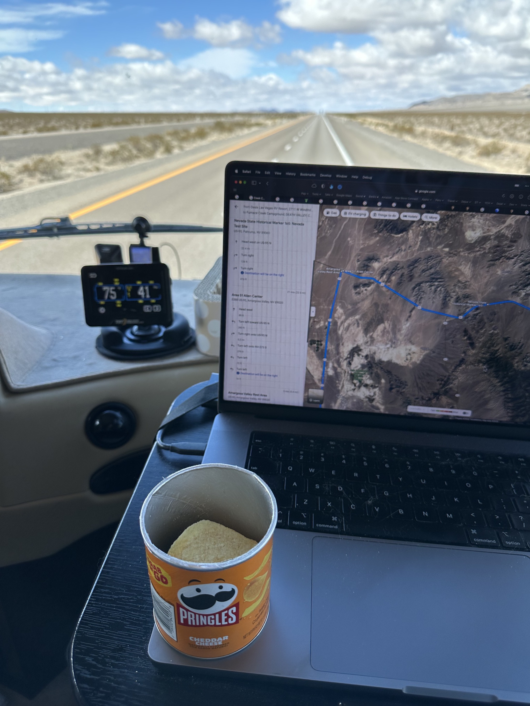
A snack while driving:
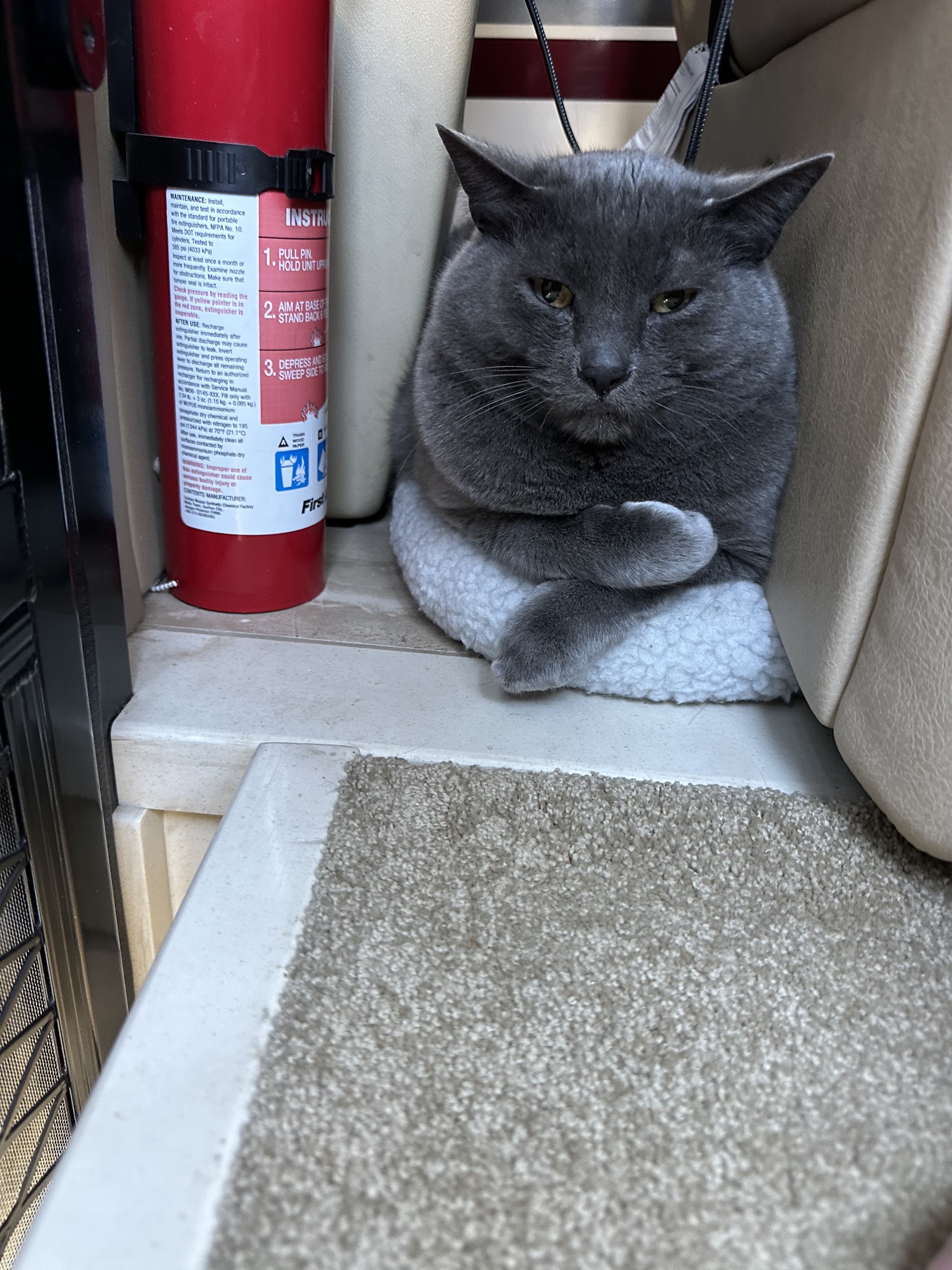
Paladin in his safe space:
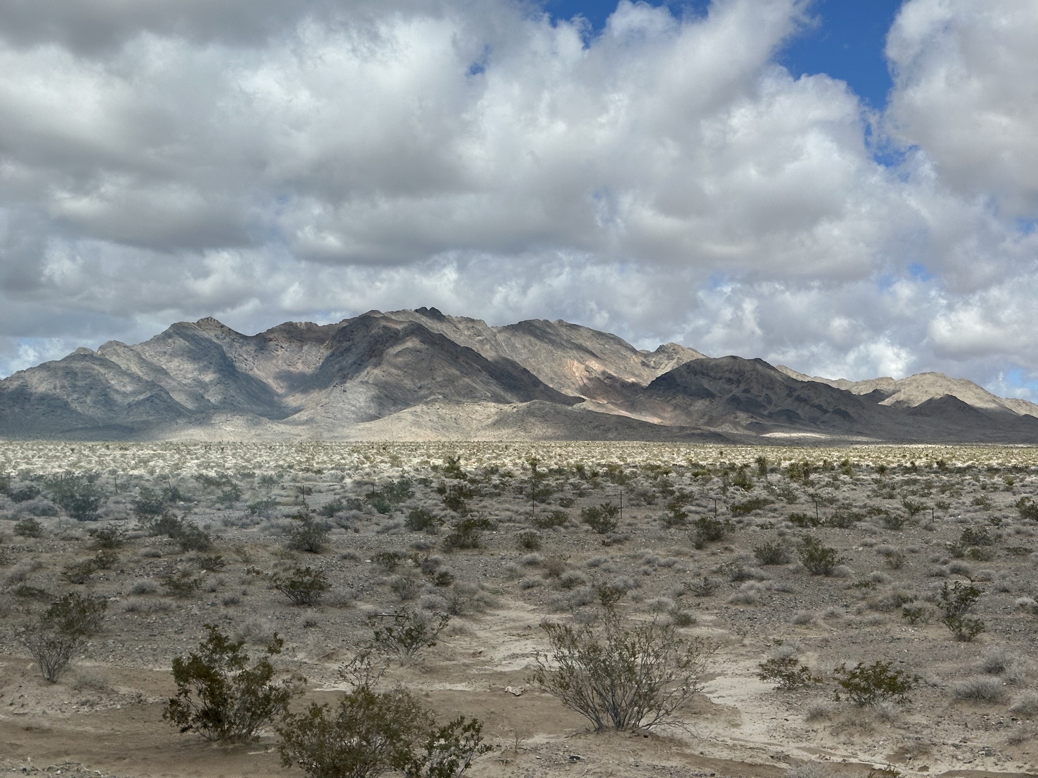
Mountain:
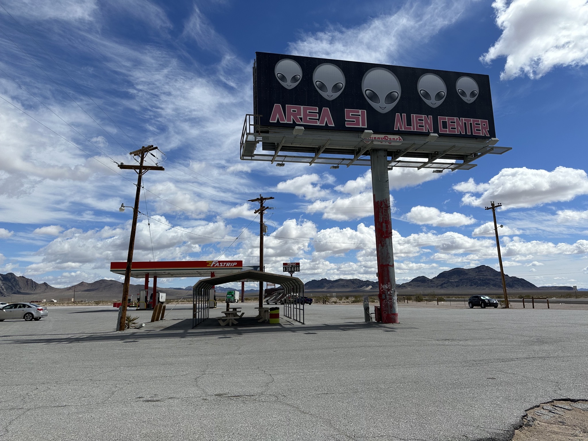
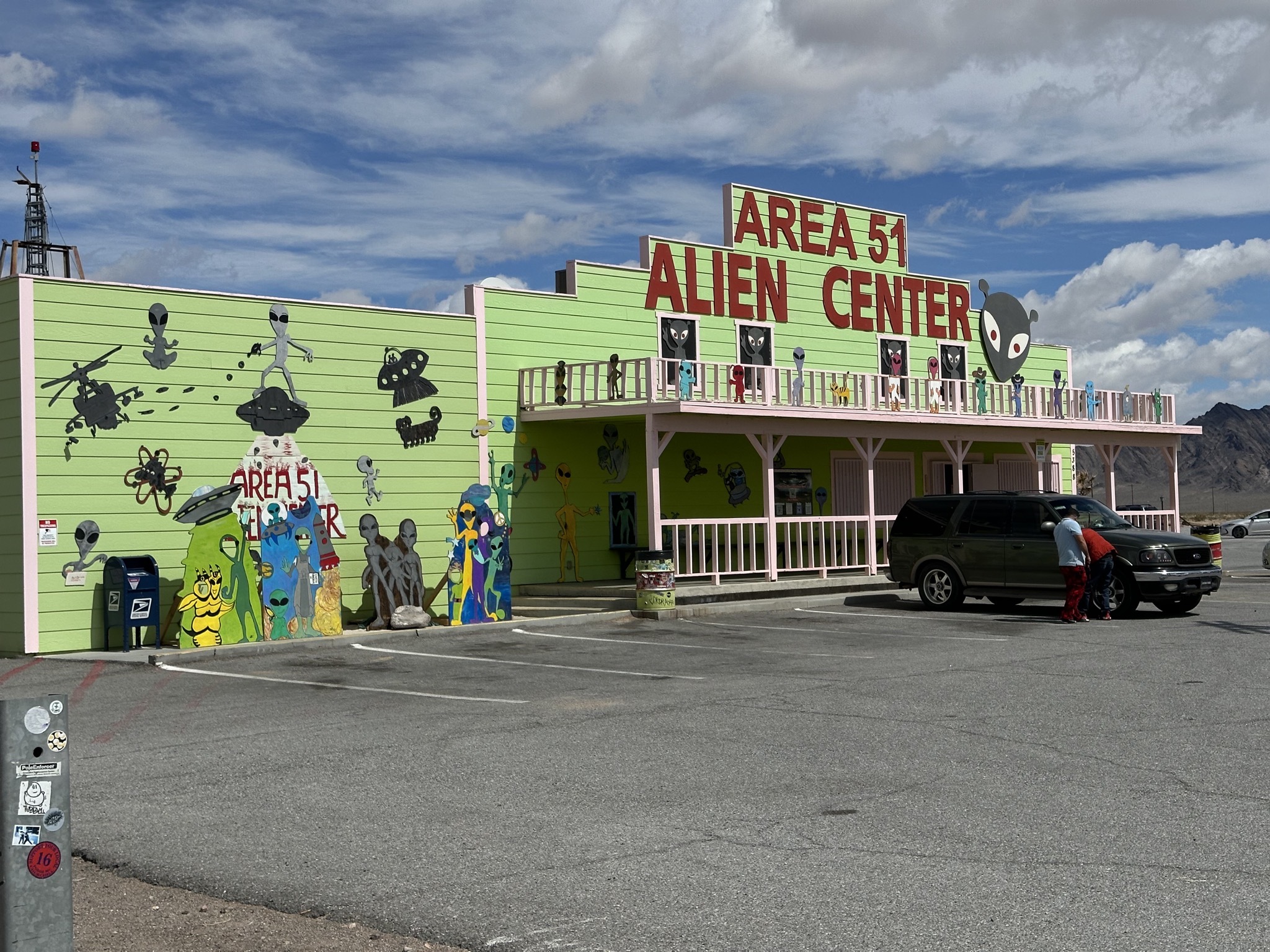
We stopped for lunch at the Area 51 Alien Center:
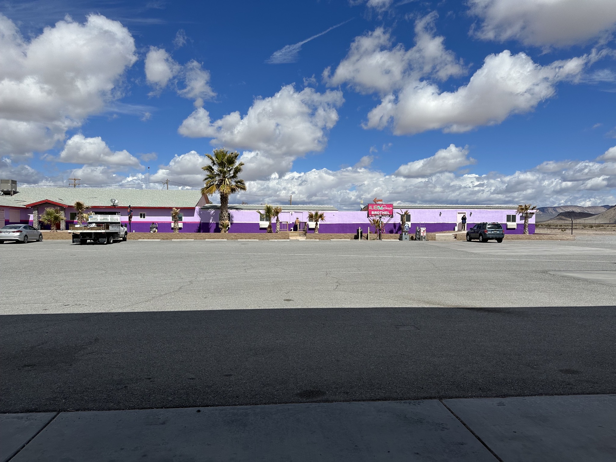
It’s Nevada, so there’s also the Alien Cathouse Brothel:
The Area 51 Alien Center:
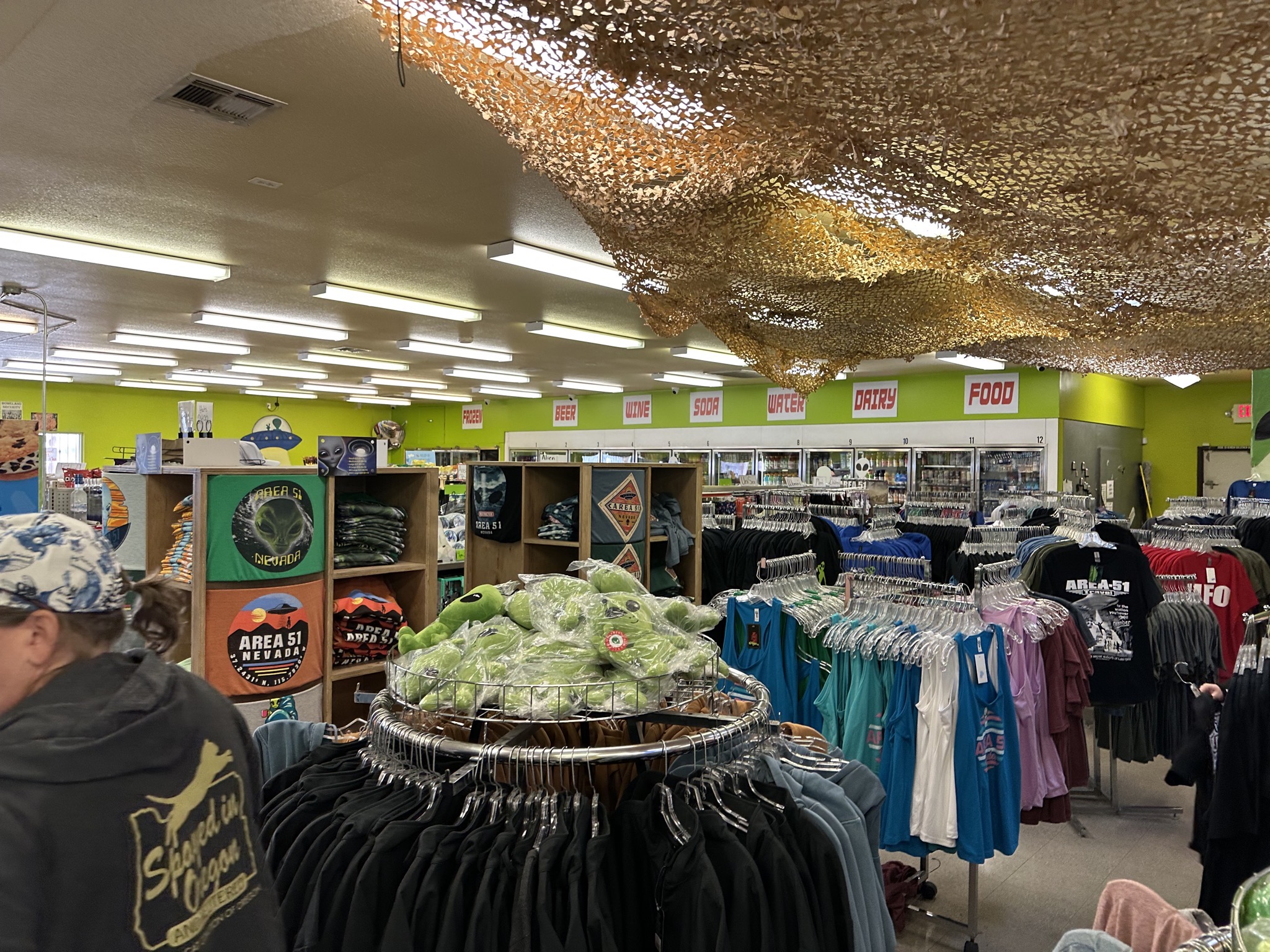
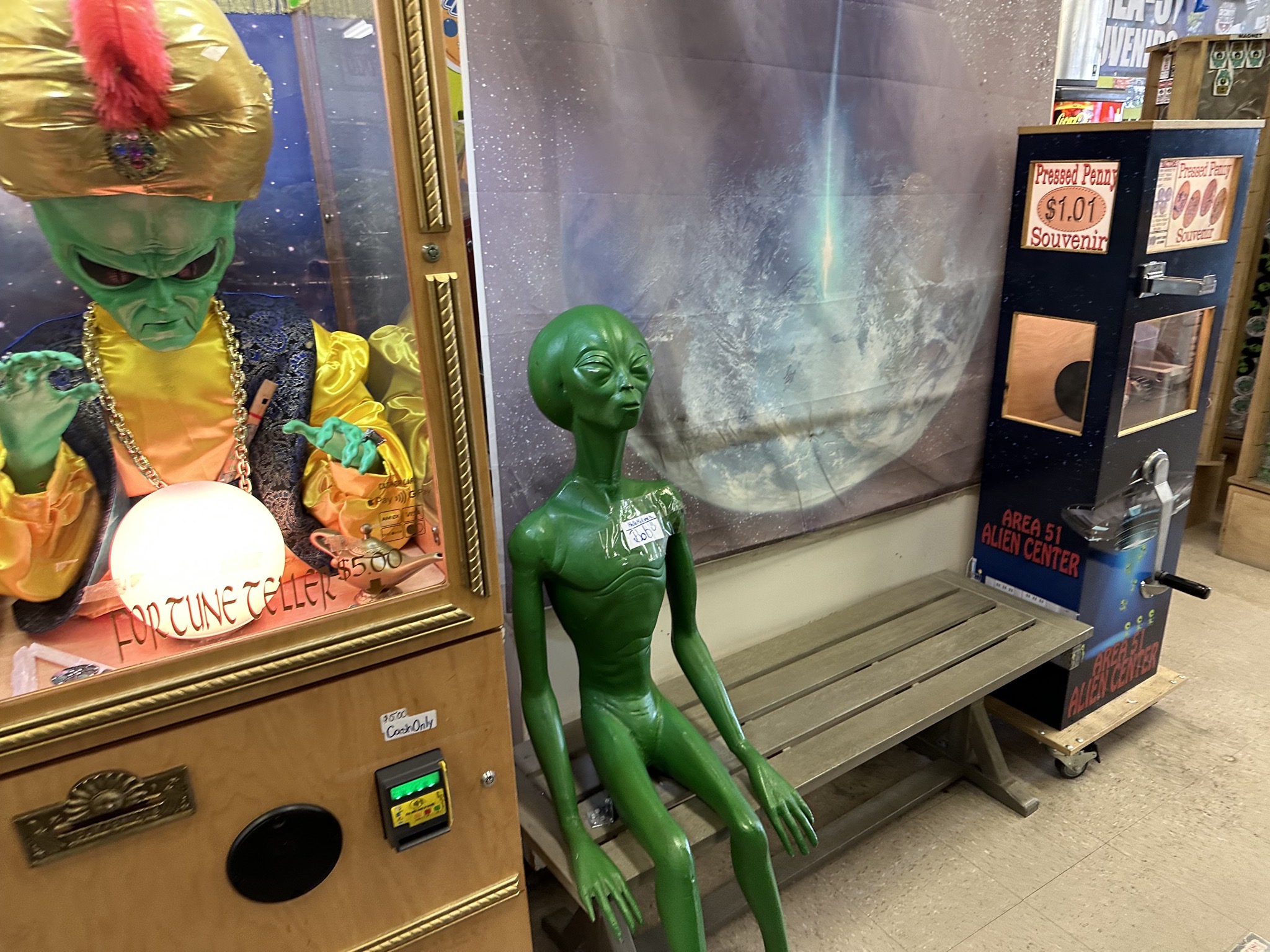
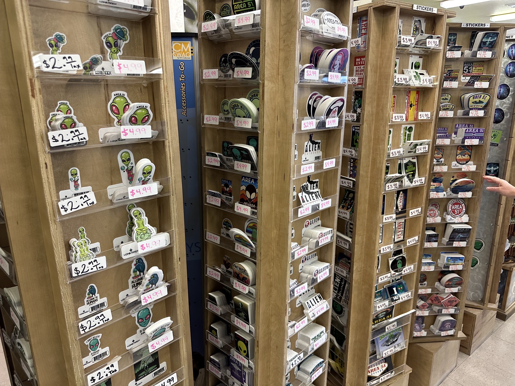
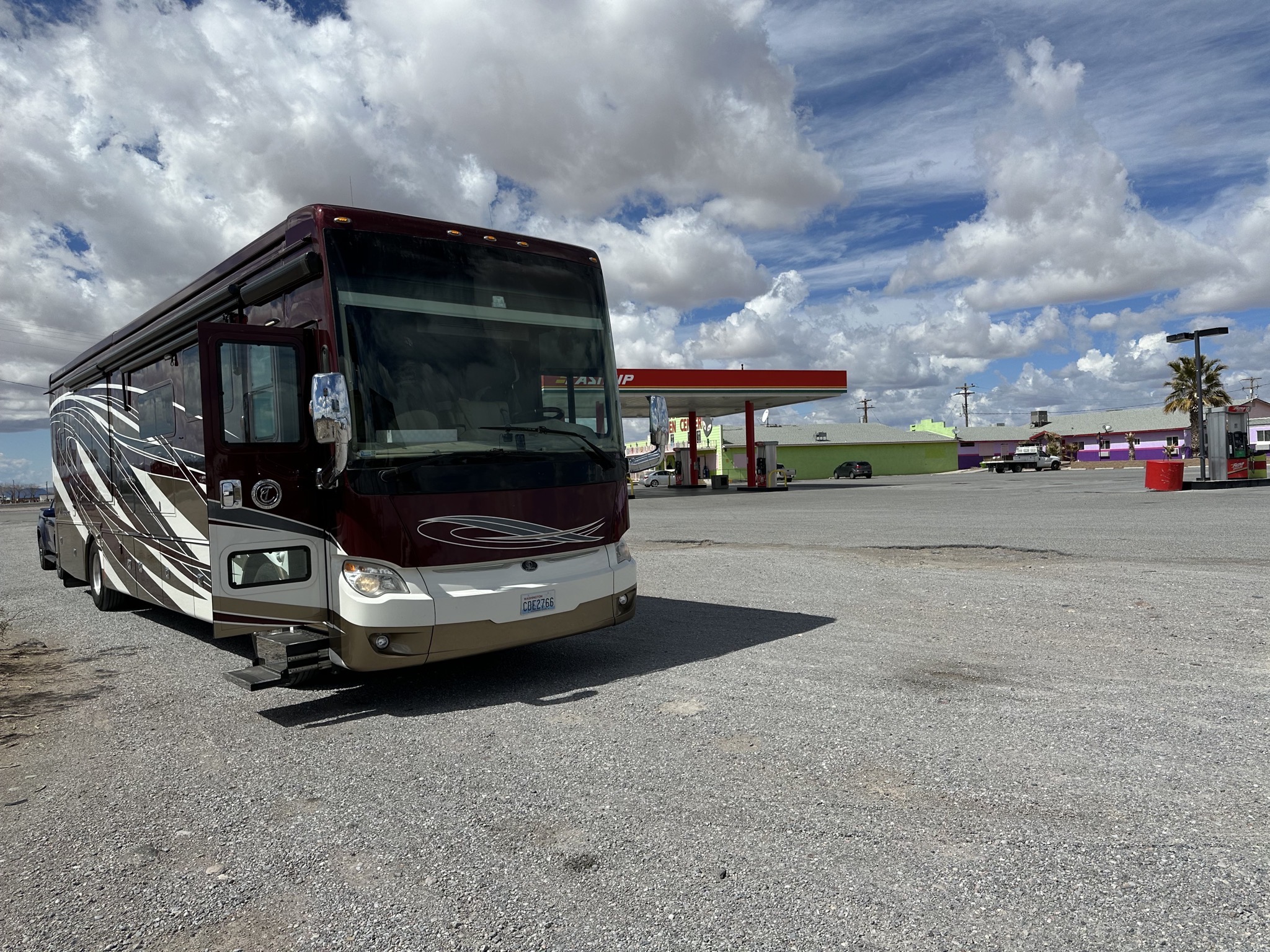
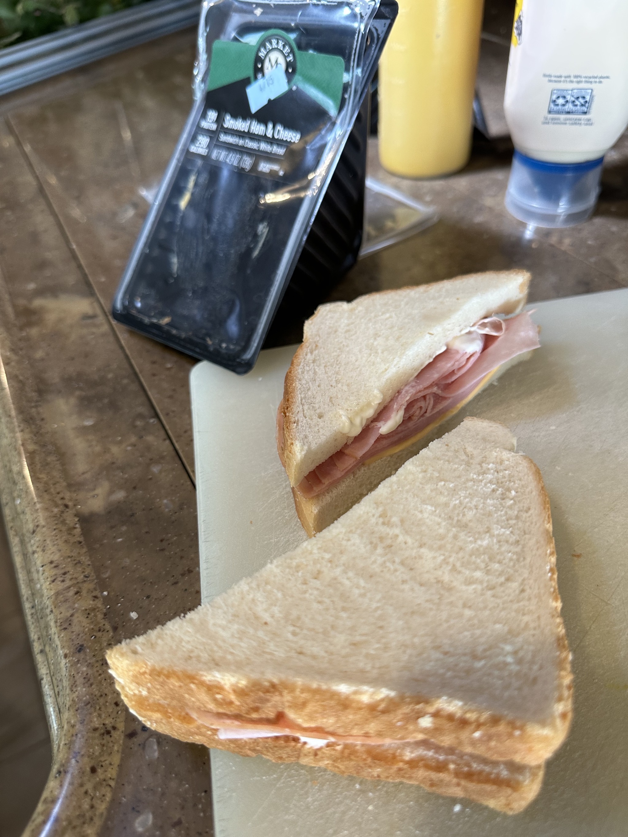
They have a cafe, but it was closed, so we grabbed packaged sandwiches for lunch:
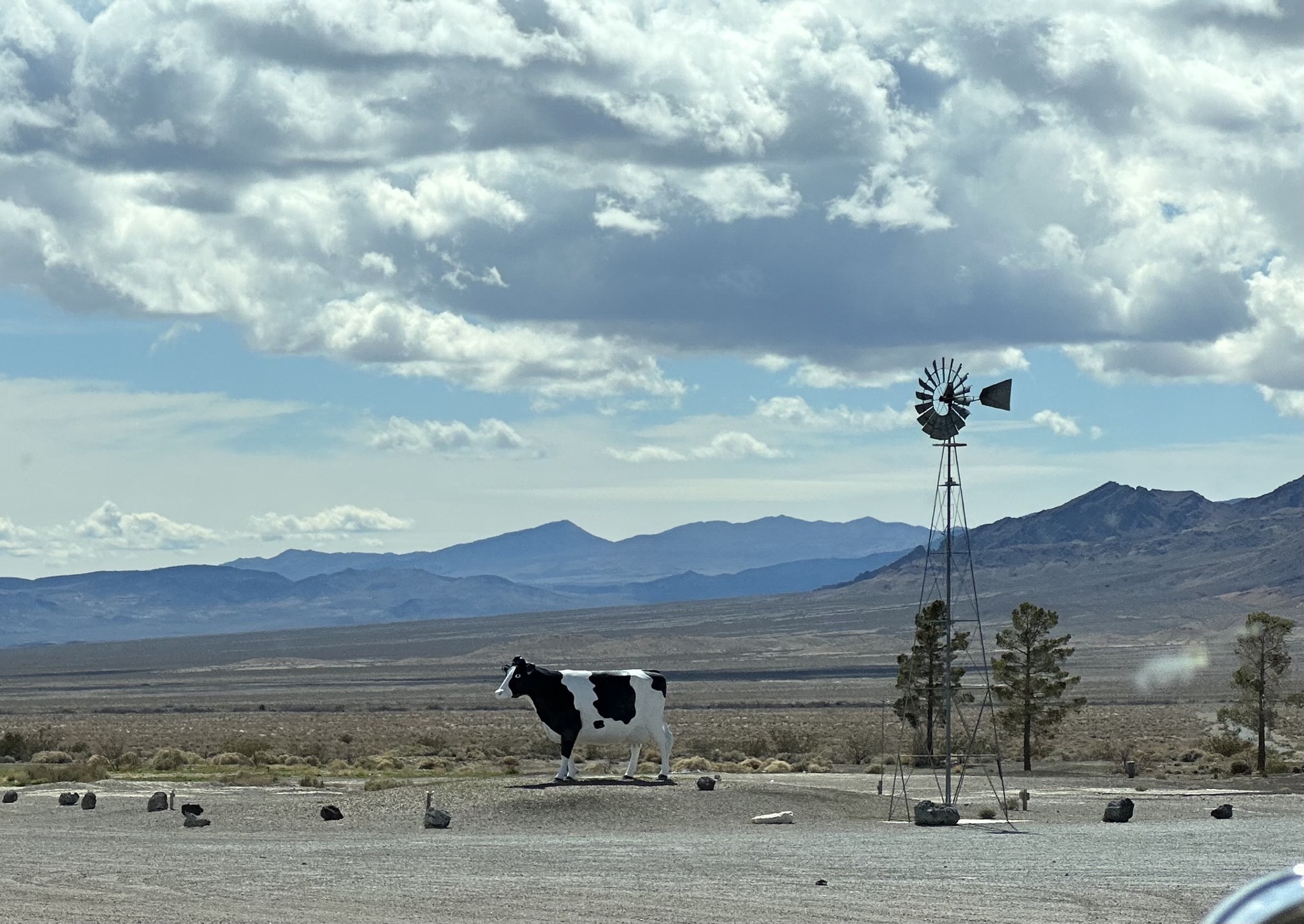
Cow artwork:
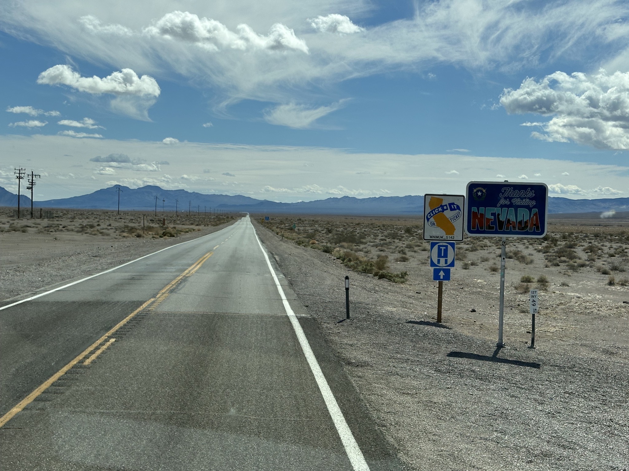
Leaving Nevada, entering California (no welcome sign, just “click it or ticket”; real friendly there, California):
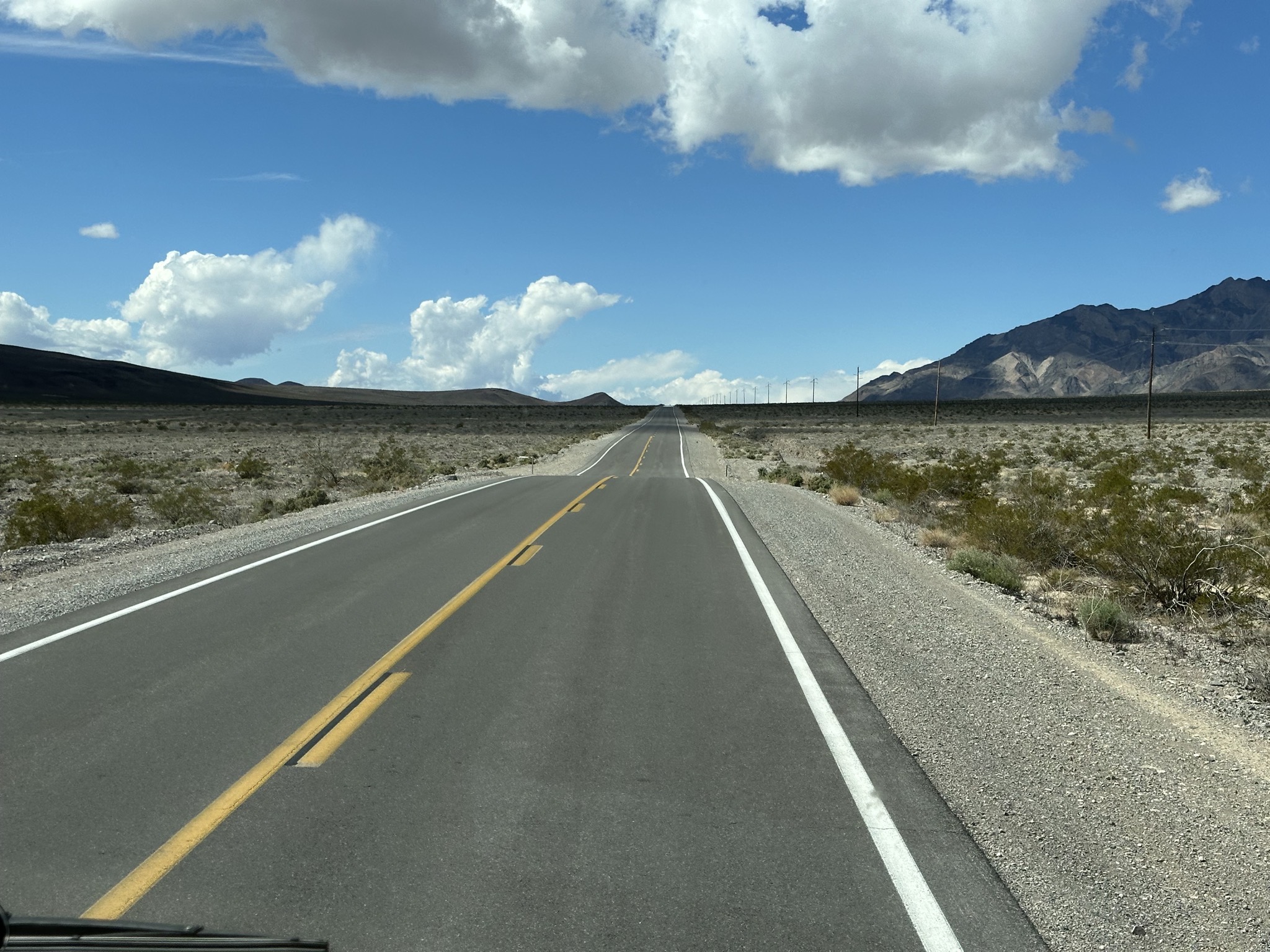
Bumpy road:
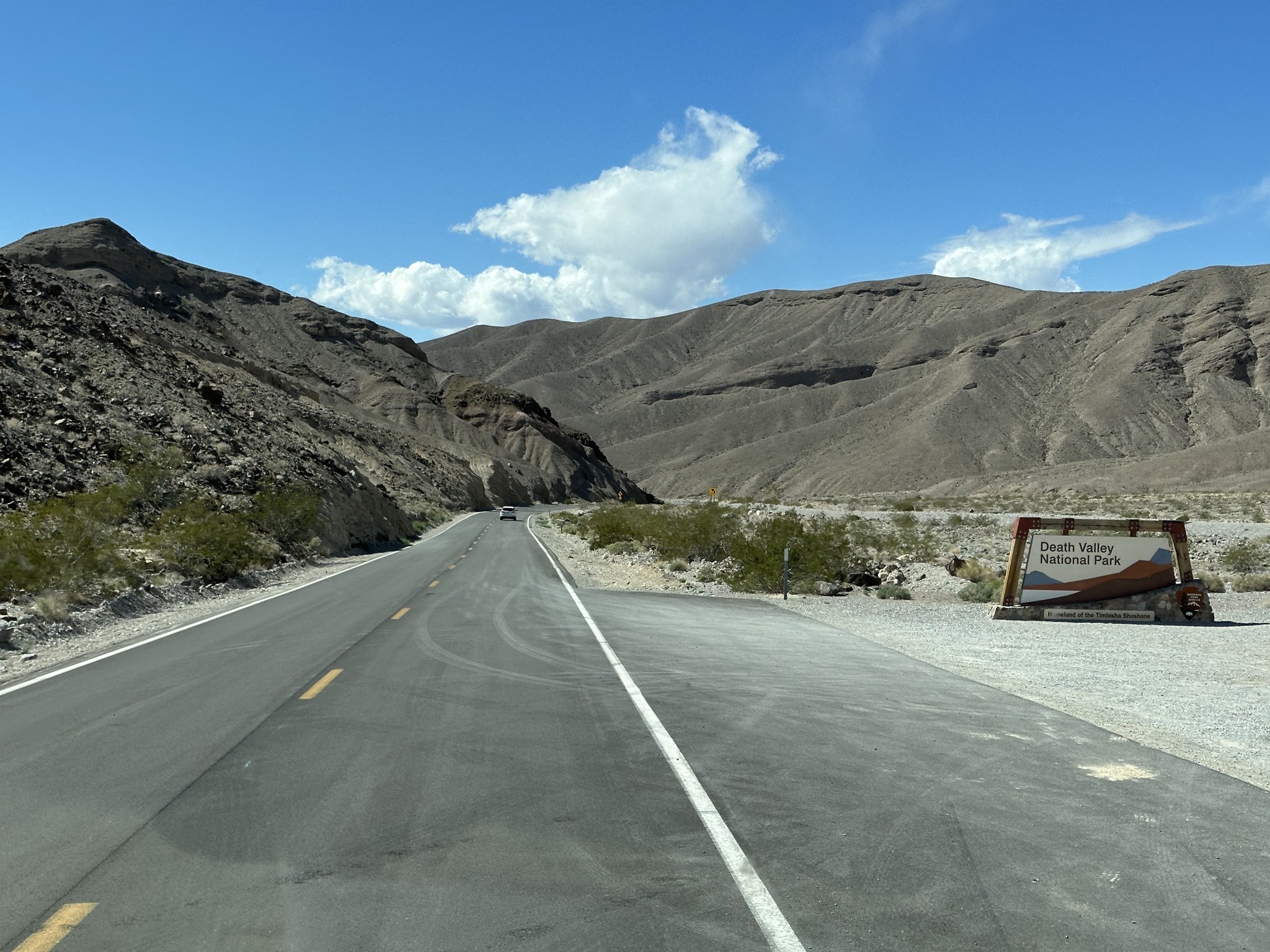
Enering Death Valley National Park:
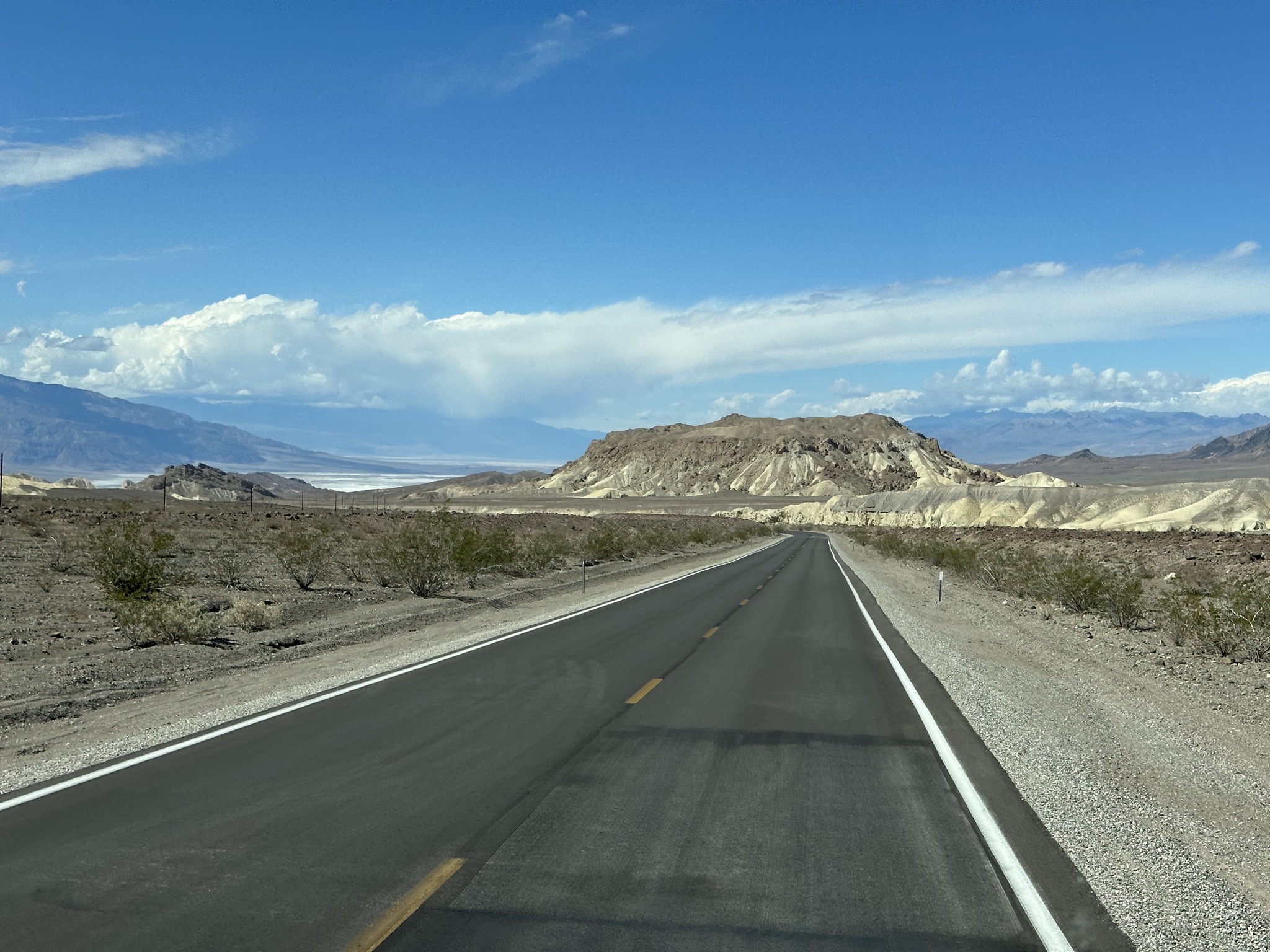
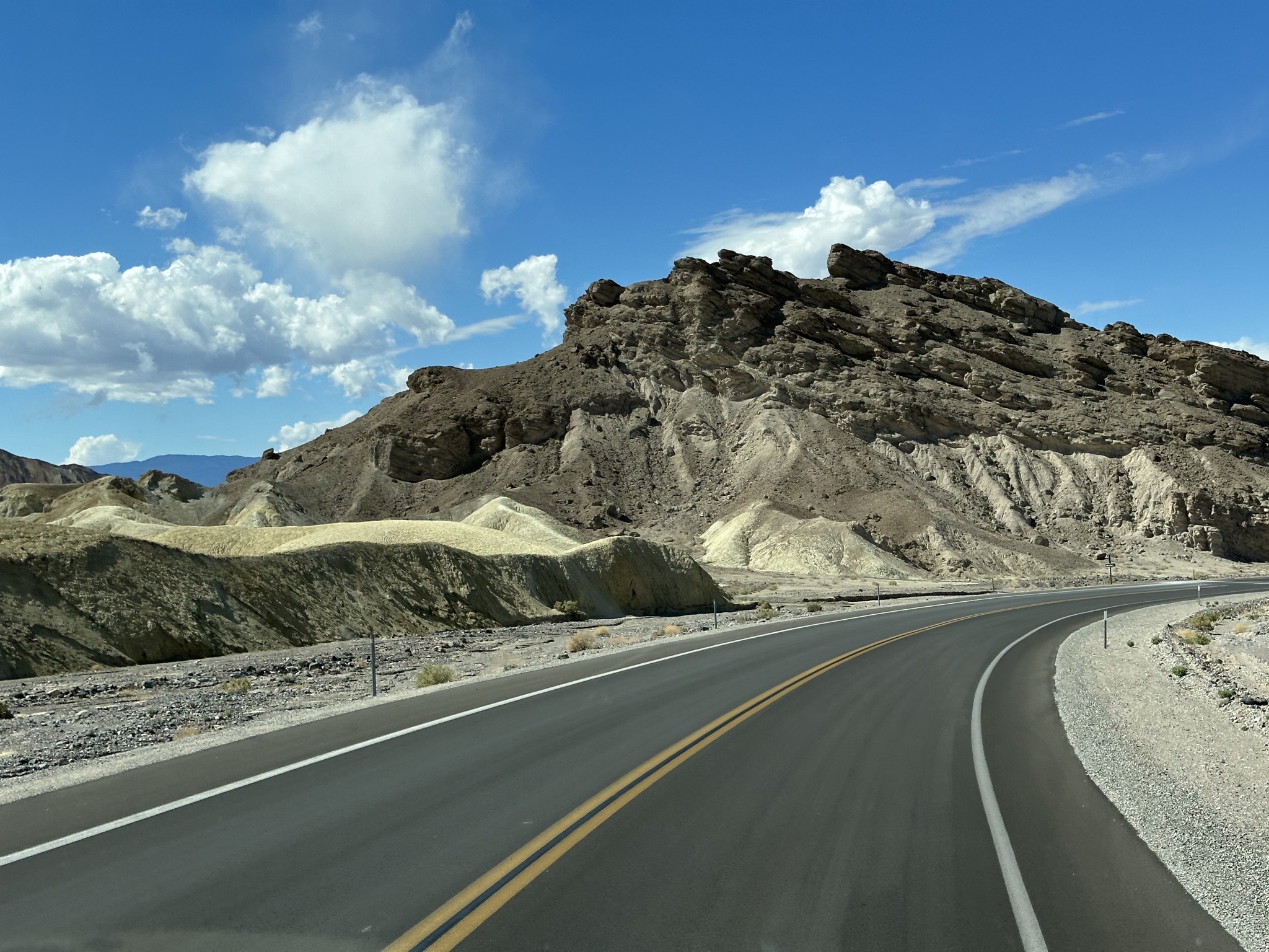
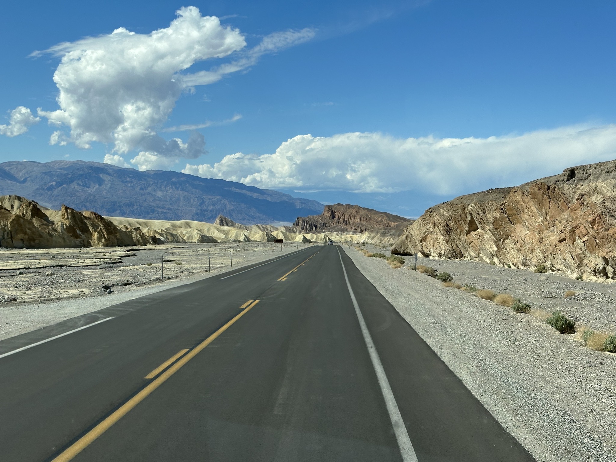
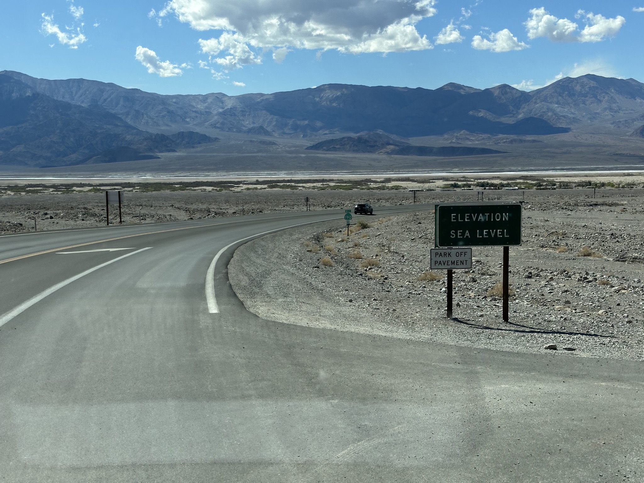
Most of the park is below sea level; passing sea level elevation, heading down:
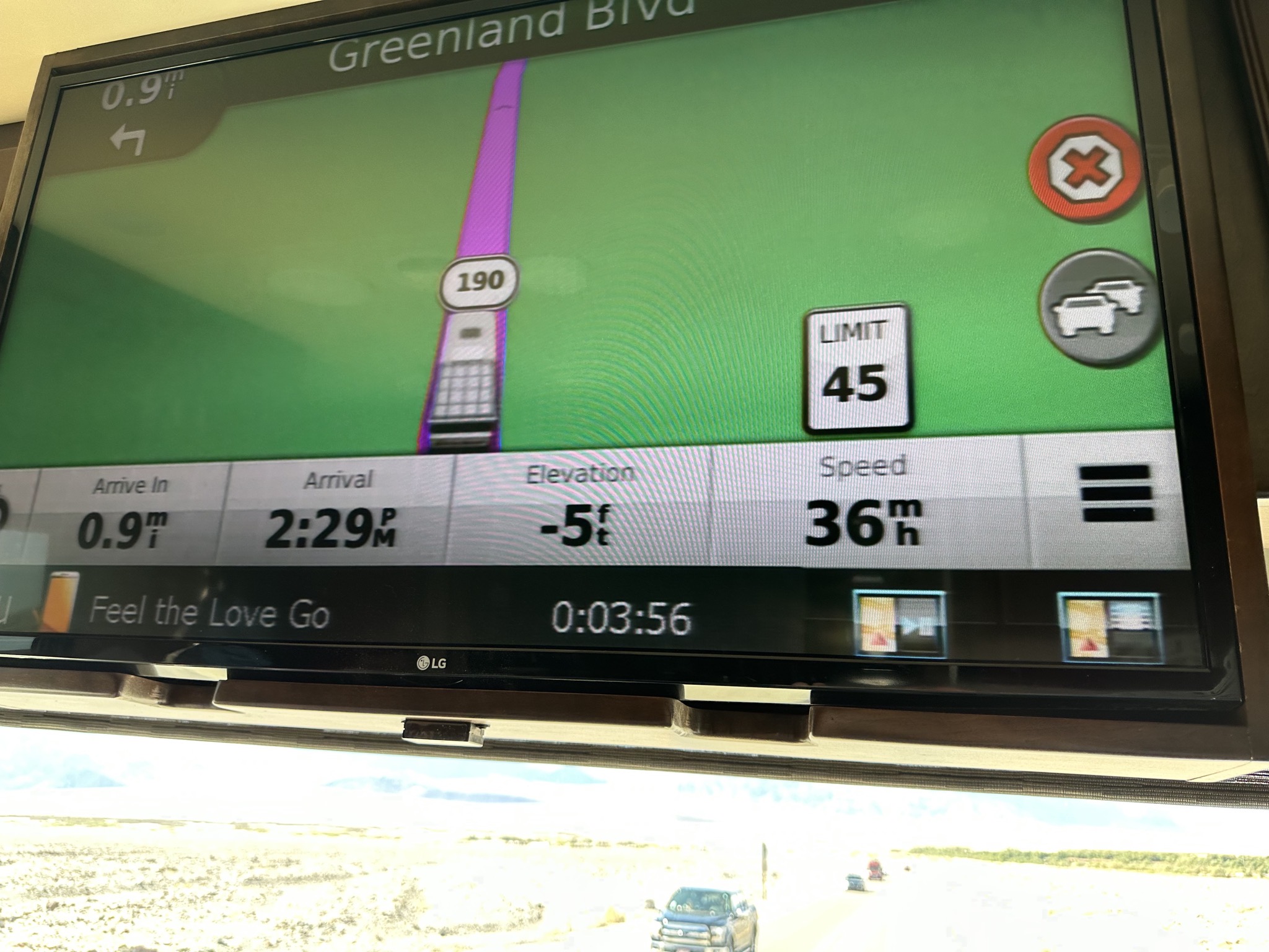
-5 elevation:
The Ranch at Death Valley, at -190 feet elevation: