· cat · food · national park · park · RV · travel · Death Valley NP
We drove our coach 169 miles, about three hours of driving, from Death Valley, California to Yermo, California.
Here’s the map route, heading south:
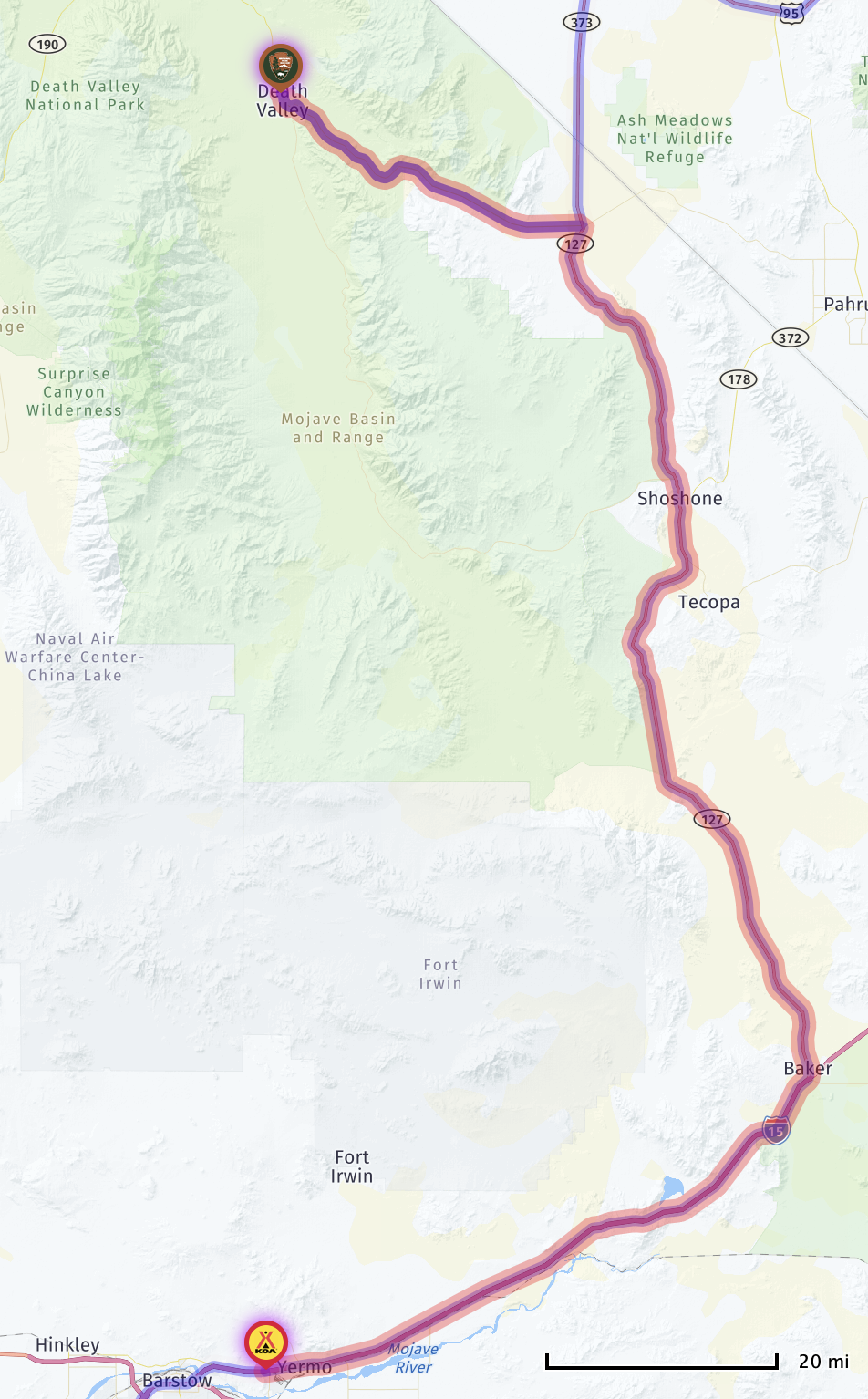
Interactive map, showing our stops:
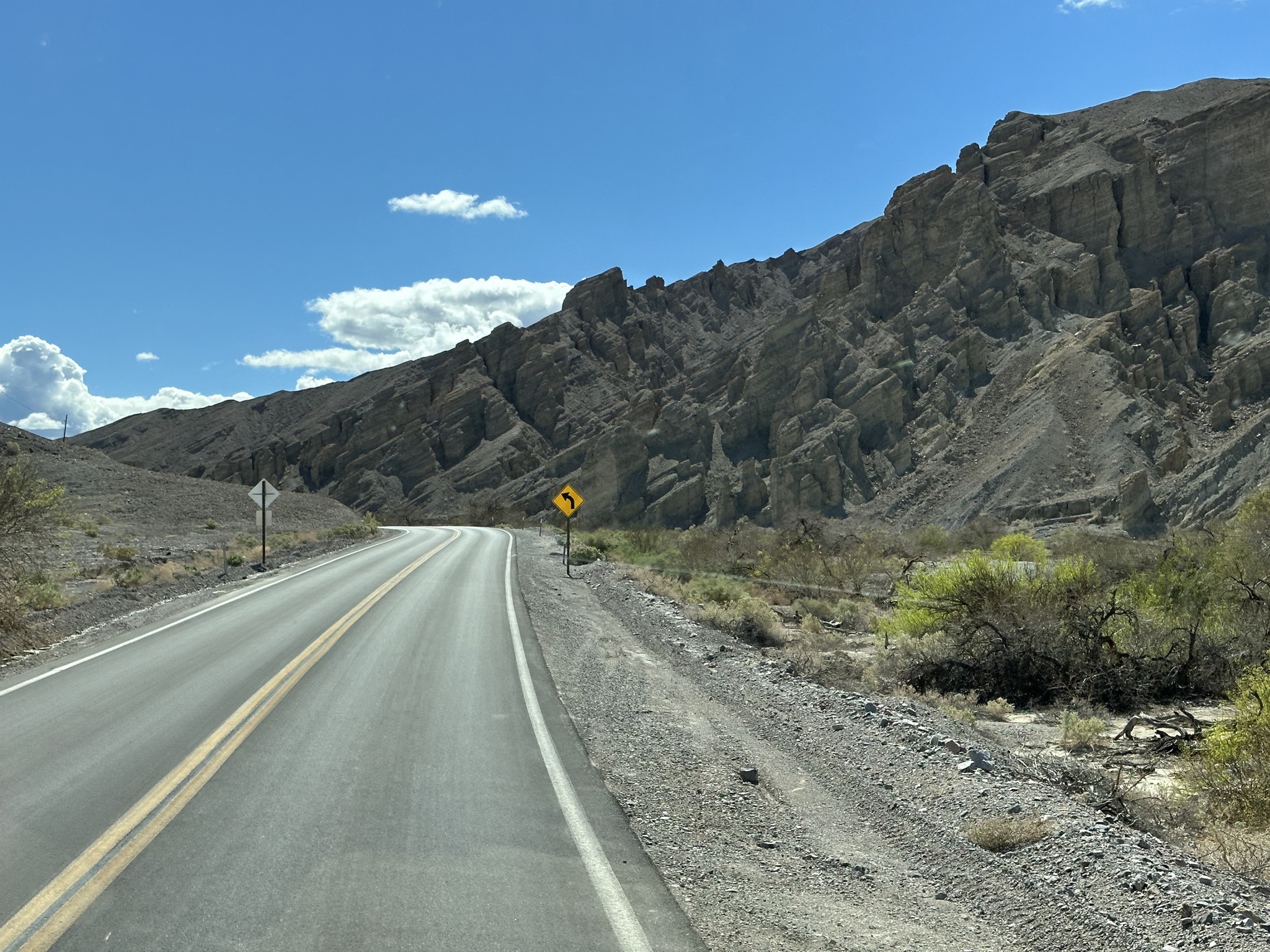
Leaving the campground:
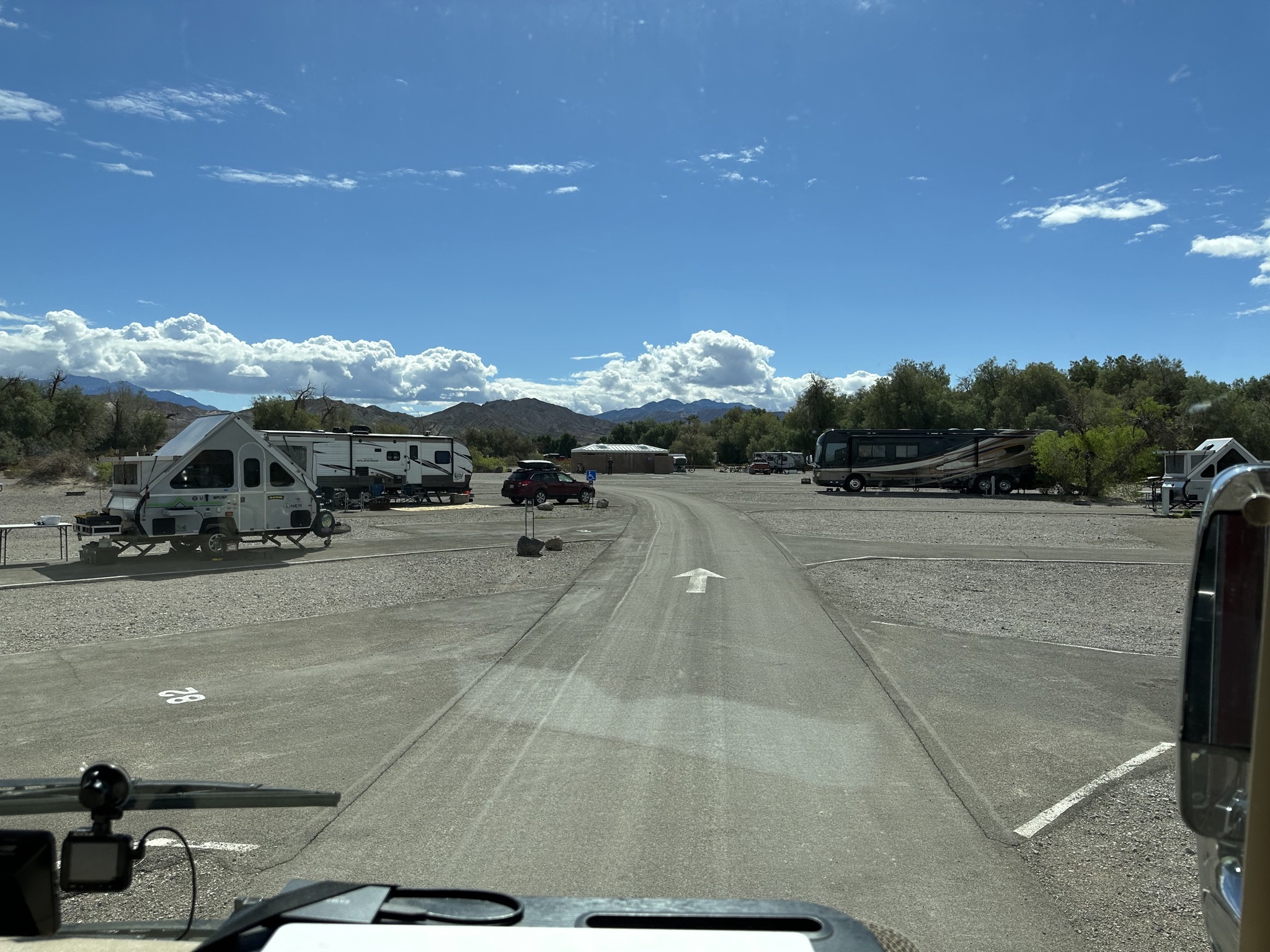
Leaving Death Valley:
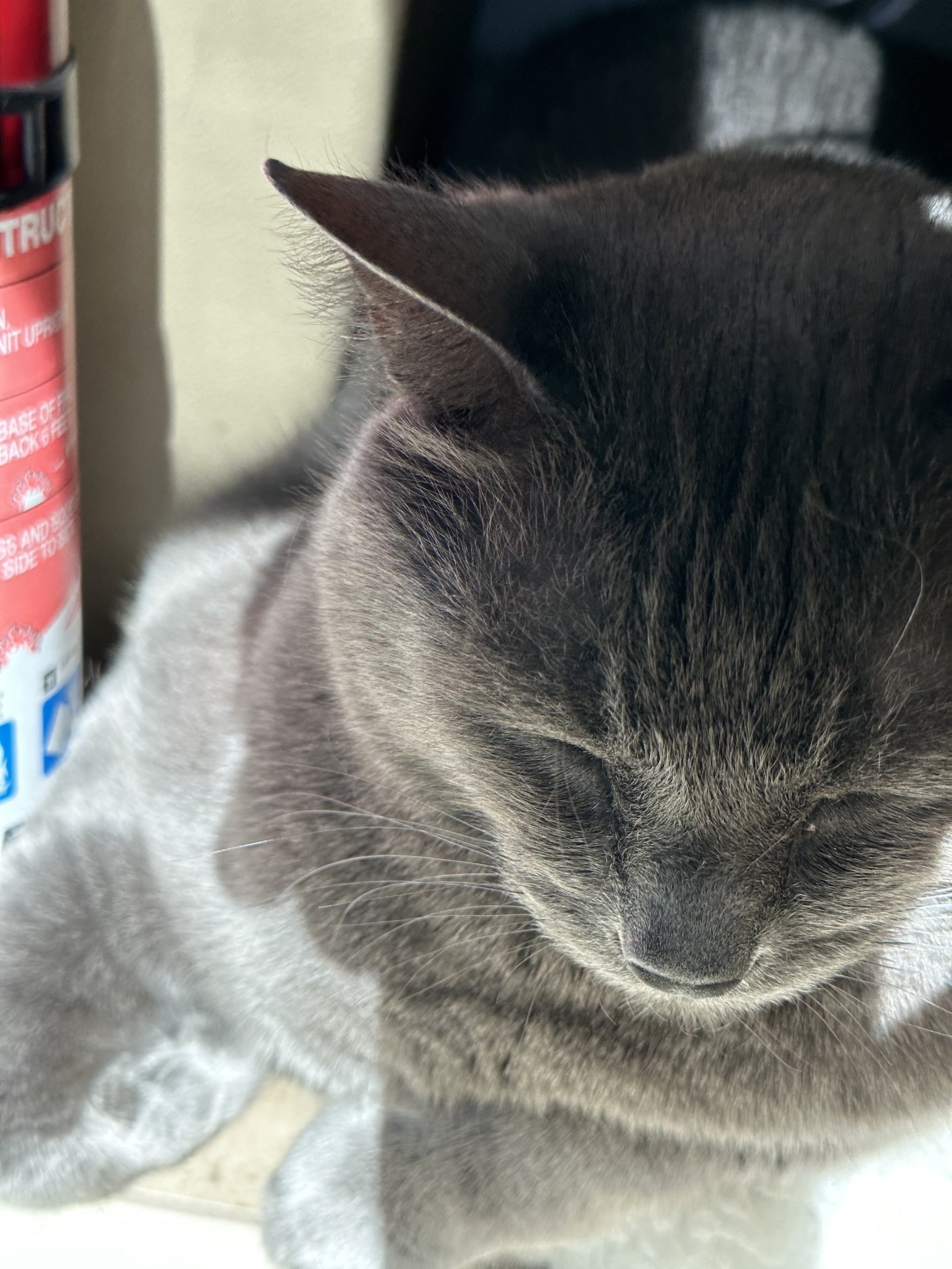
Paladin sleeping:
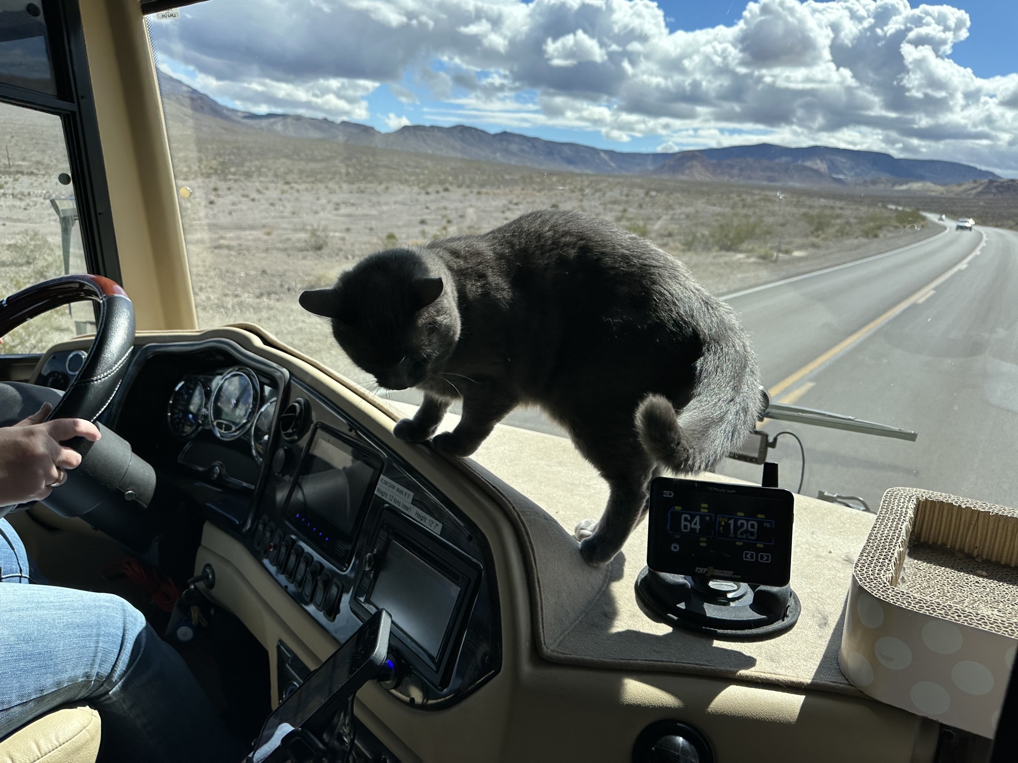
Paladin in an unapproved place; he was freaking out a bit; sometimes he forgets about travel days:
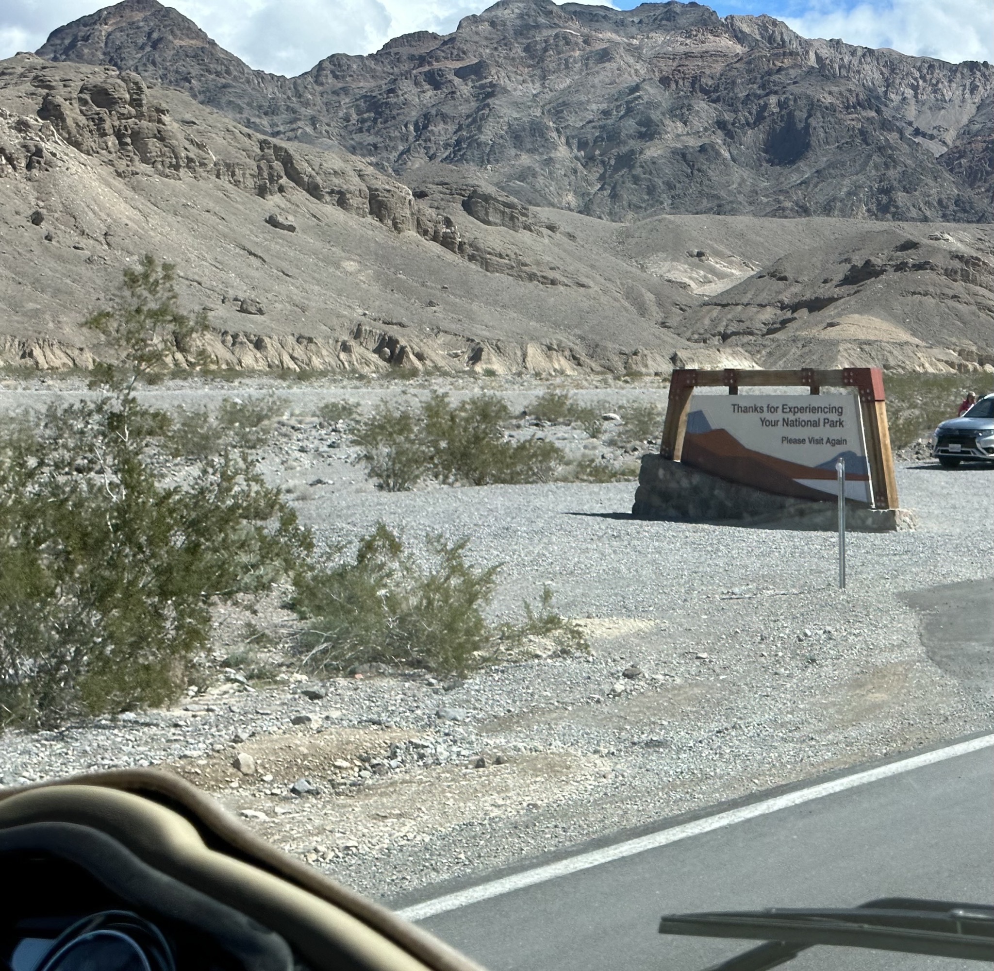
"Thanks for Experiencing Your National Park":
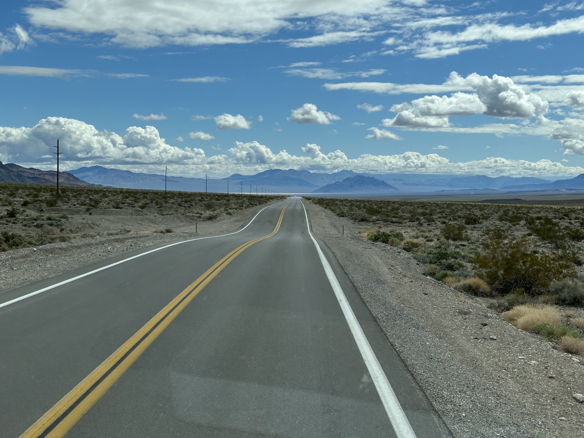
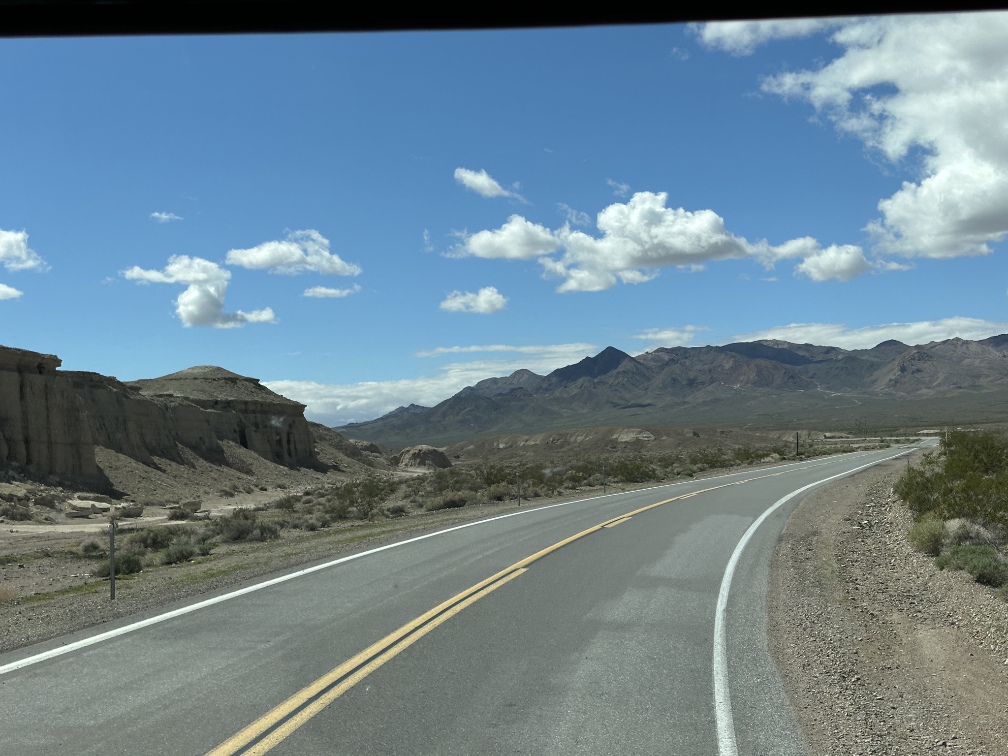
Bumpy road:
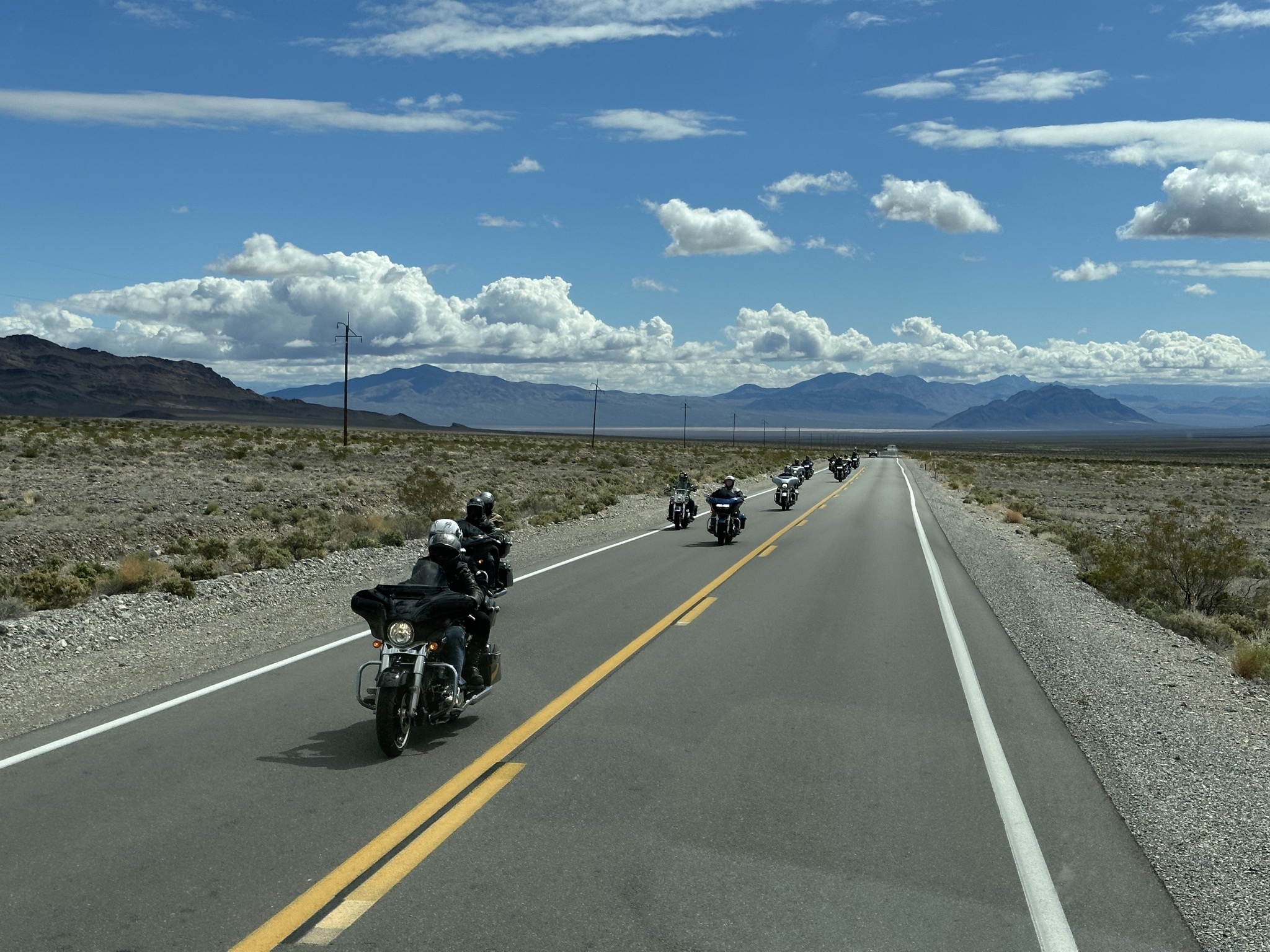
Motorcycles:
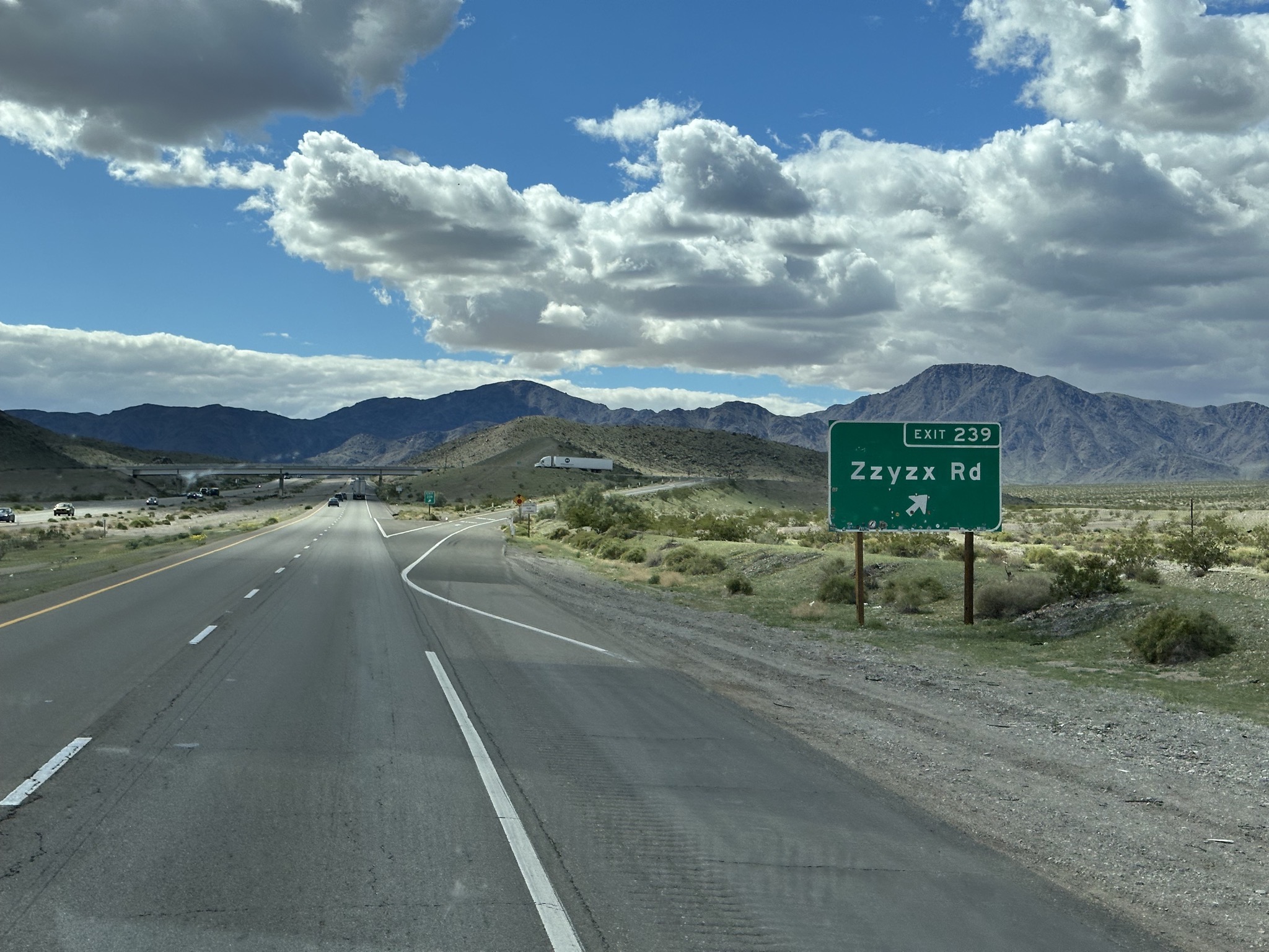
The sign could use a refresh:
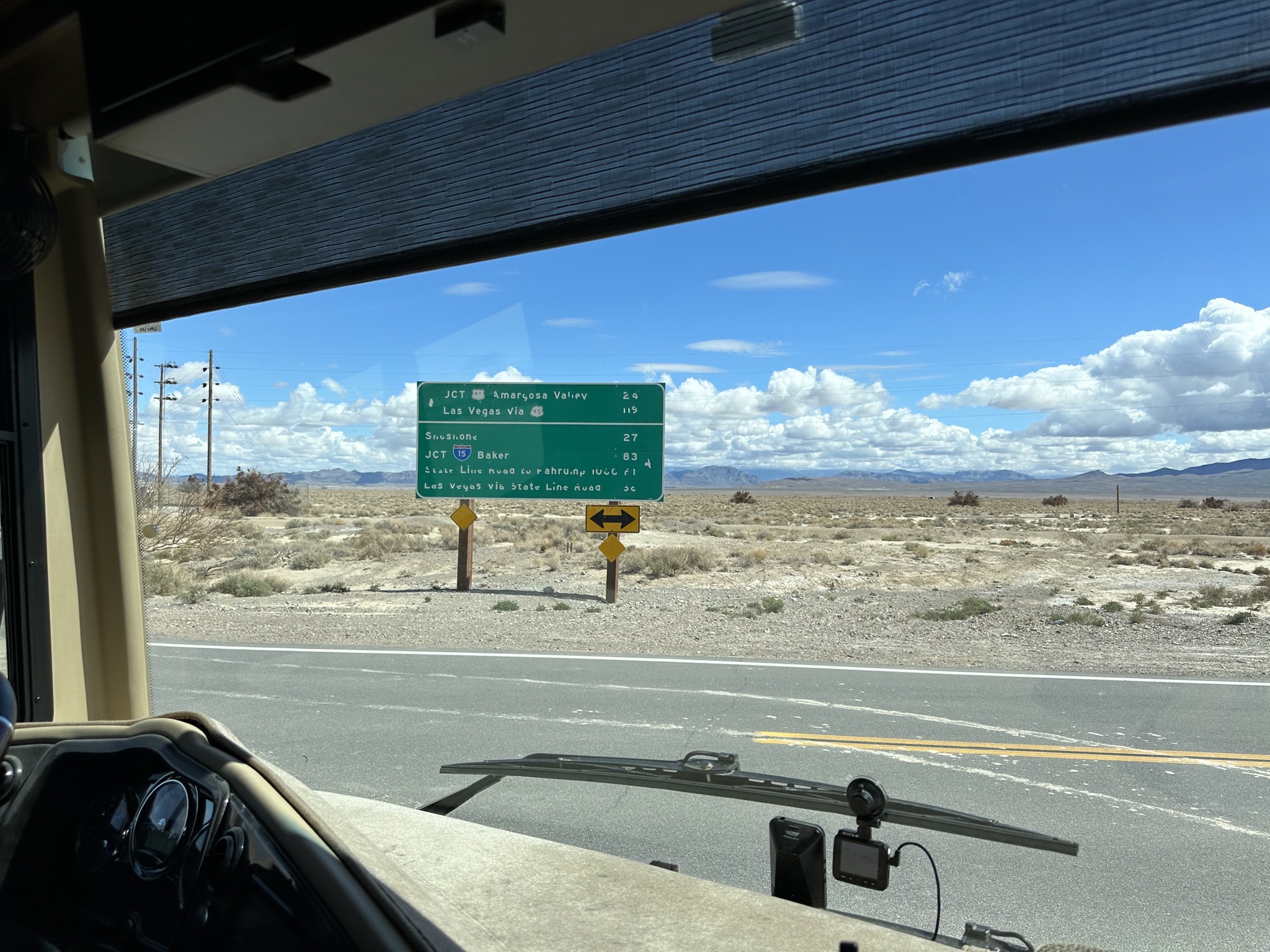
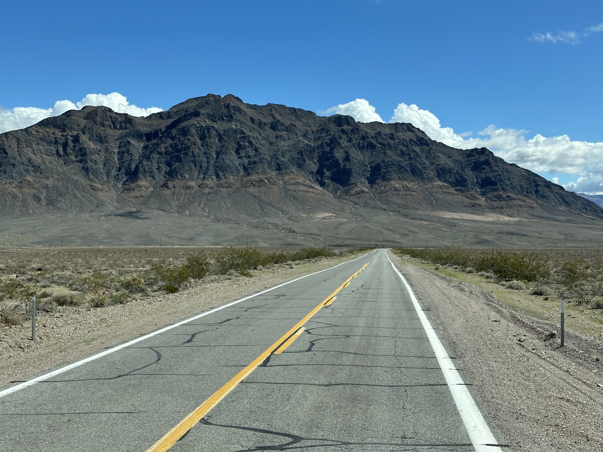
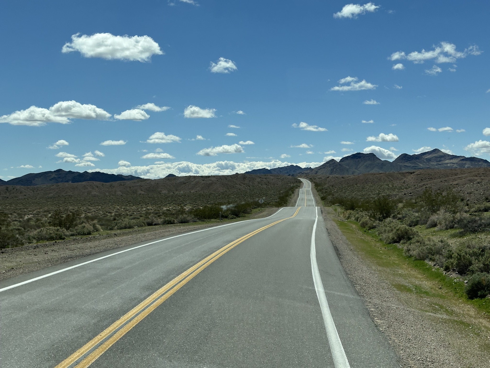
A roadside stop for a break:
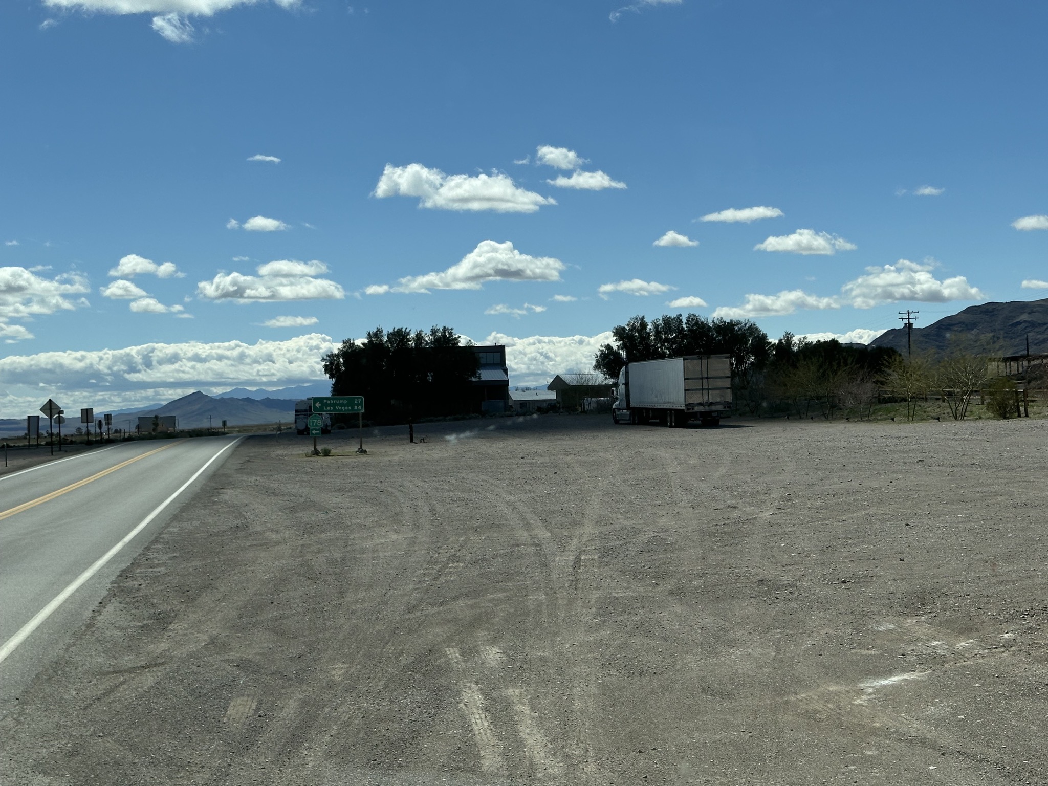
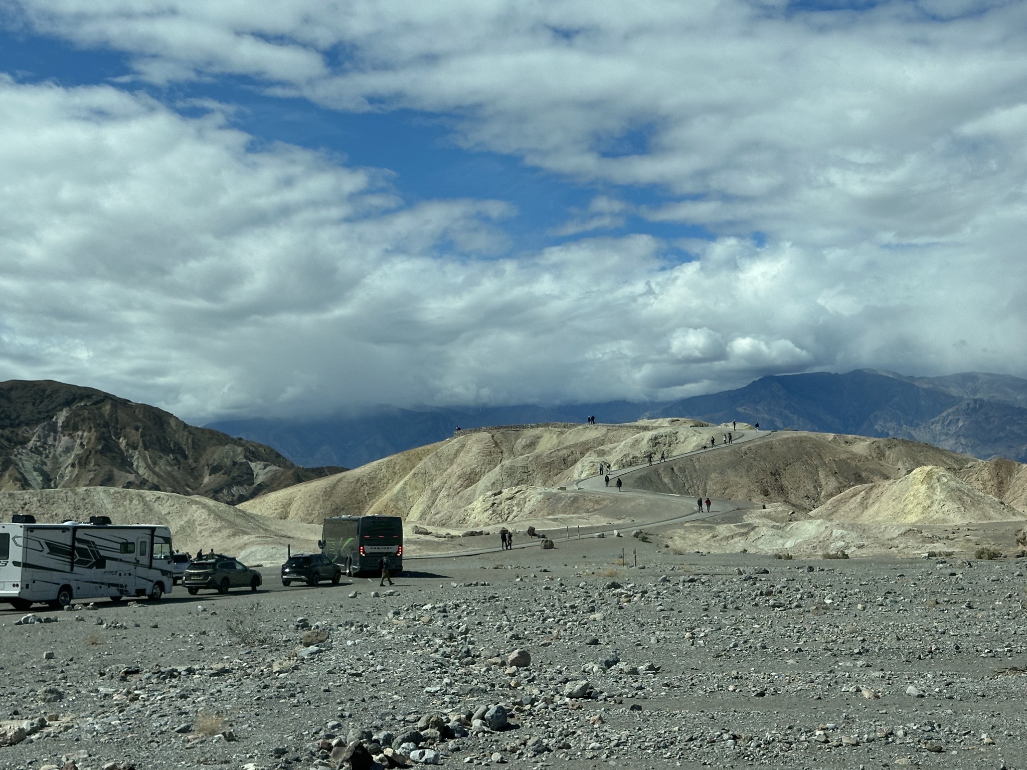
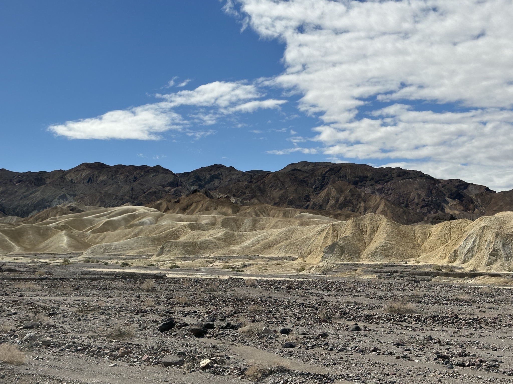
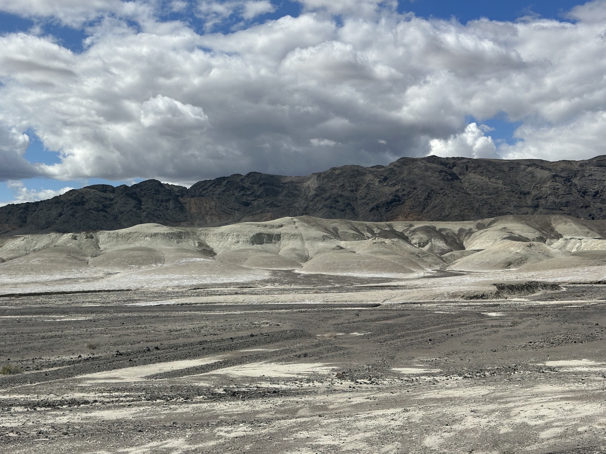
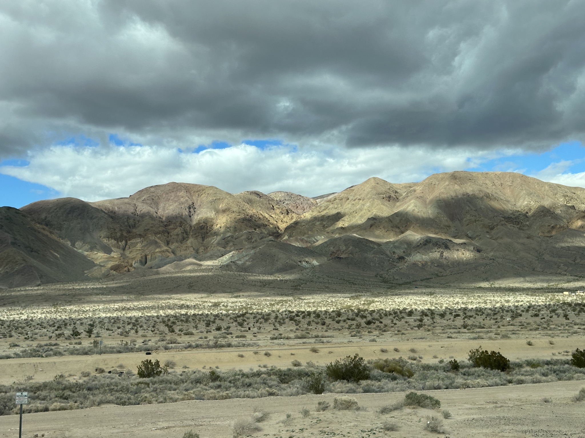
Interesting hills:
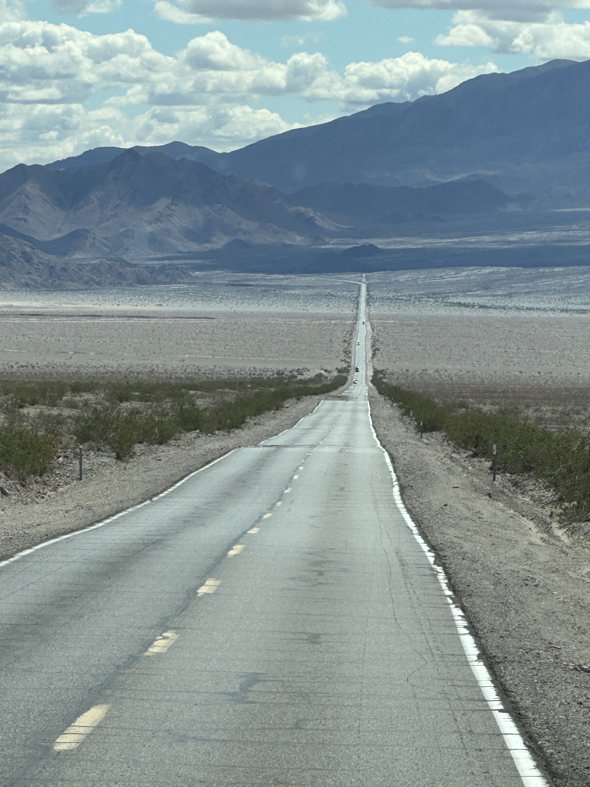
A straight road; using a high zoom really emphasizes the bumps:
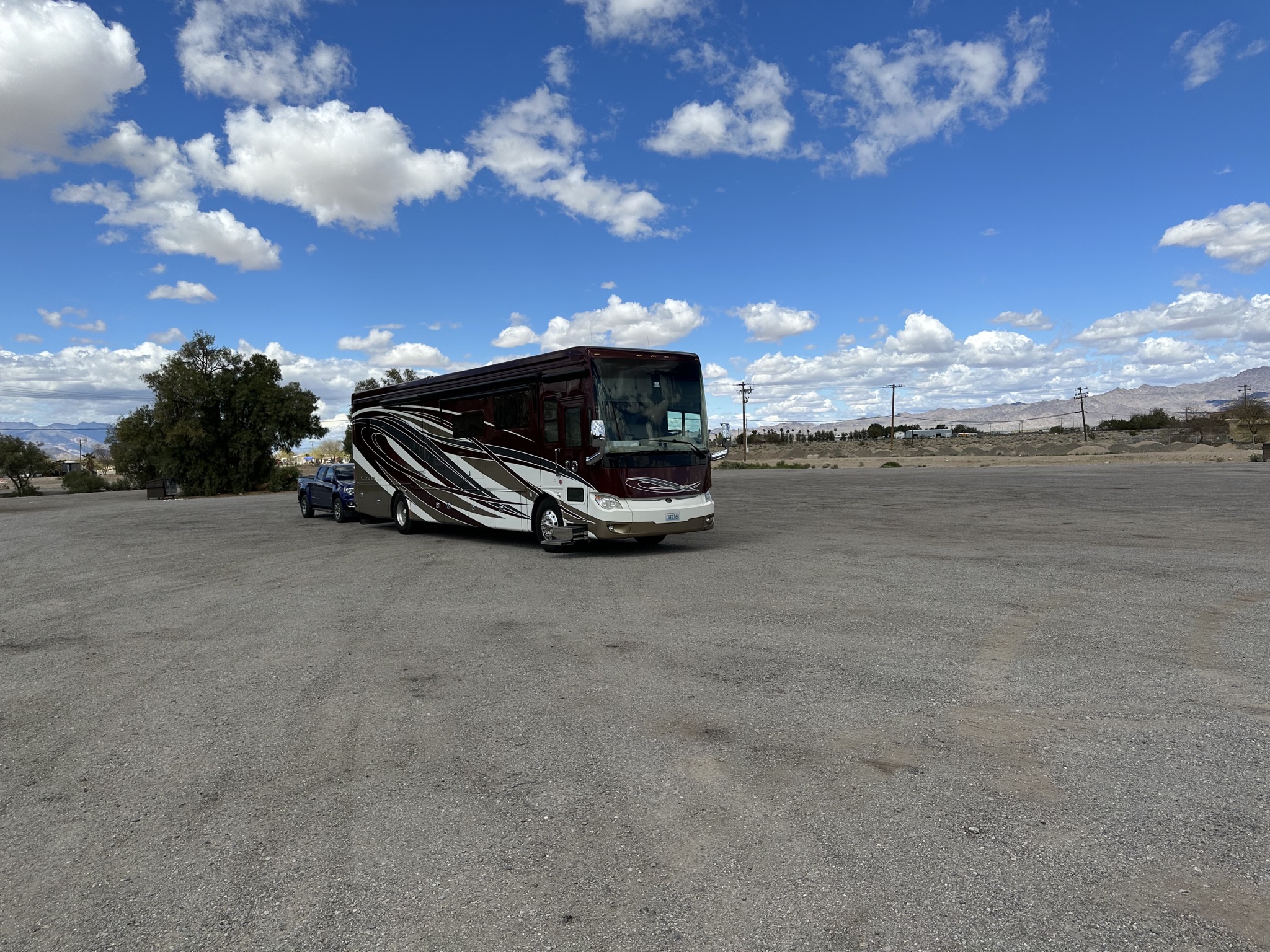
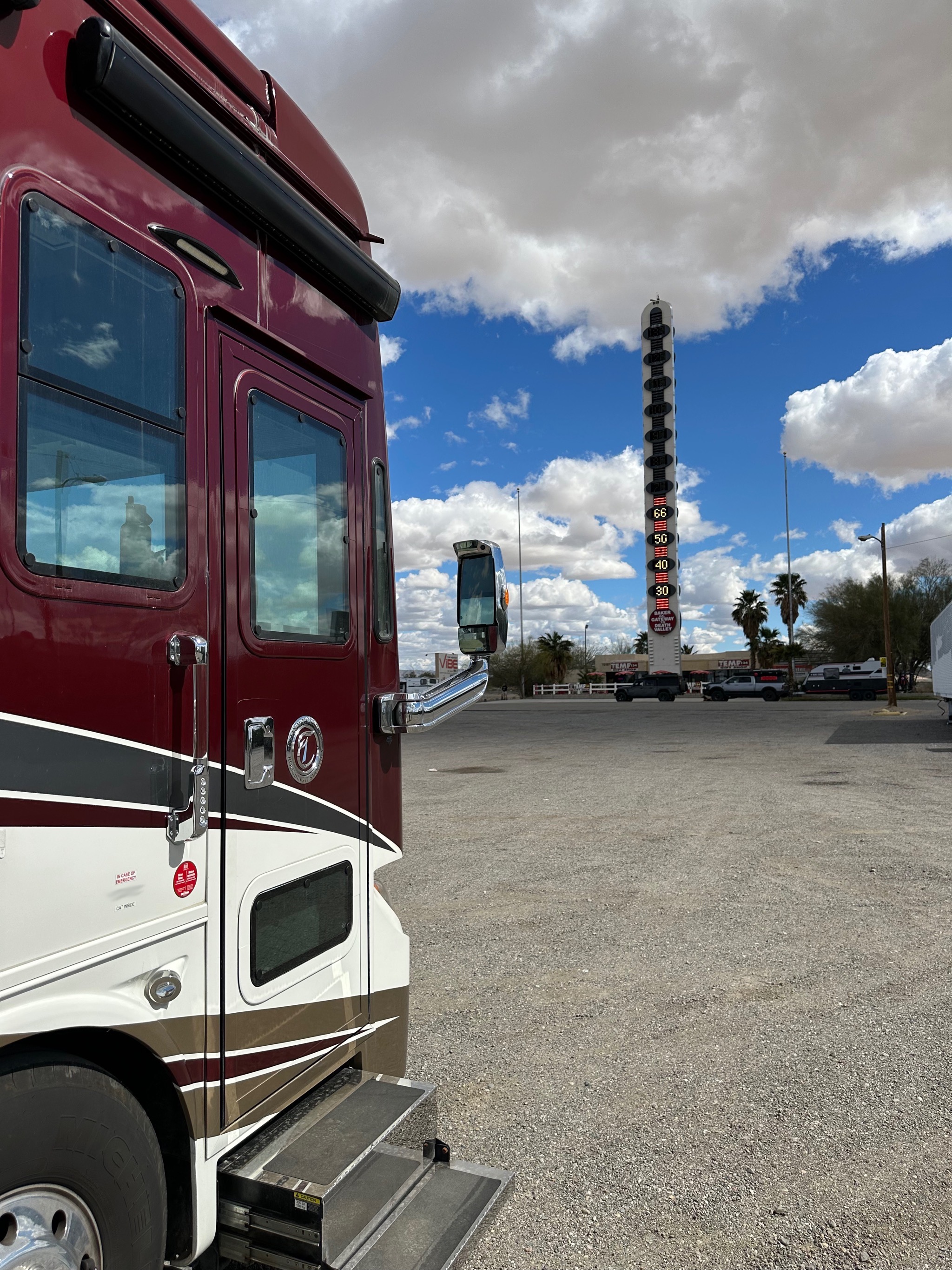
Lunch stop in Baker, with a nice big truck/RV parking area; always appreciated:
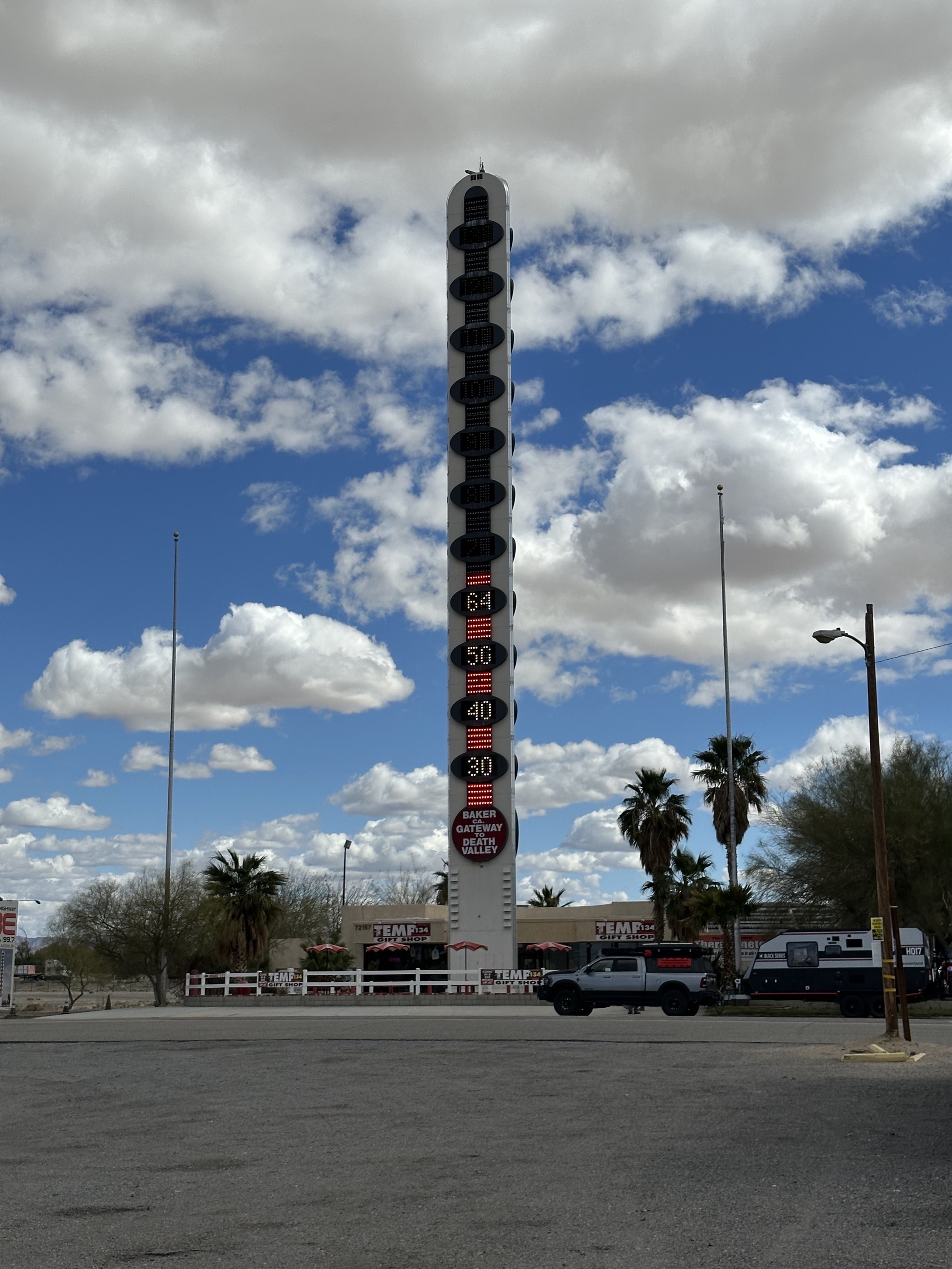
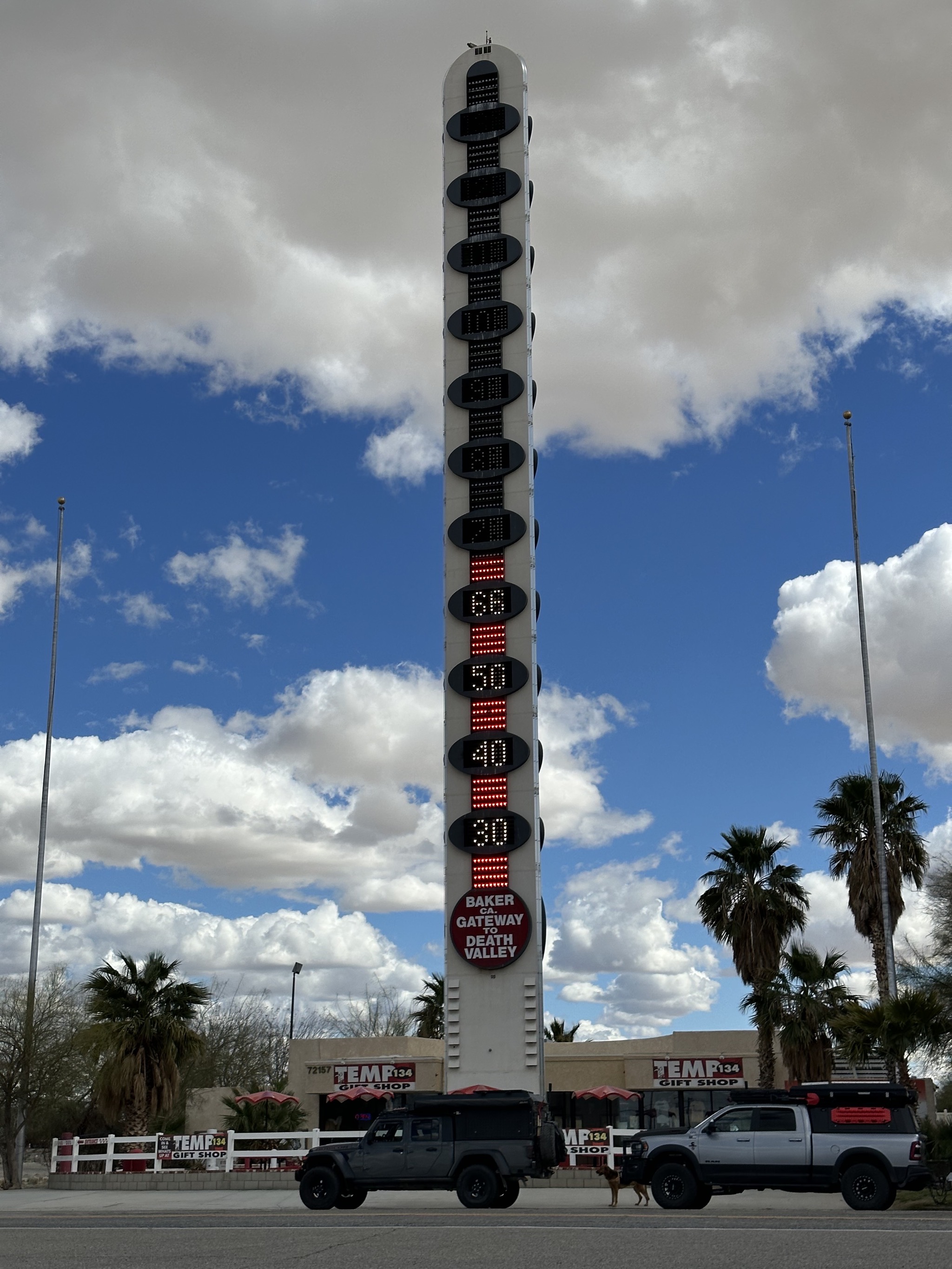
The World's Tallest Thermometer:
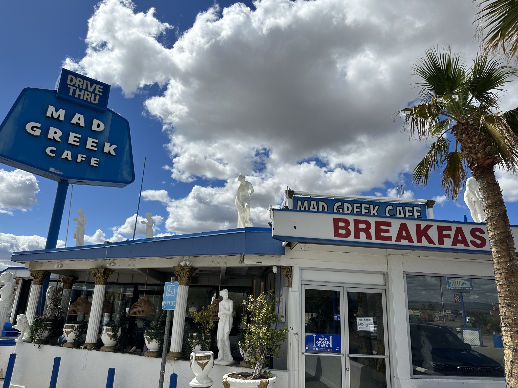
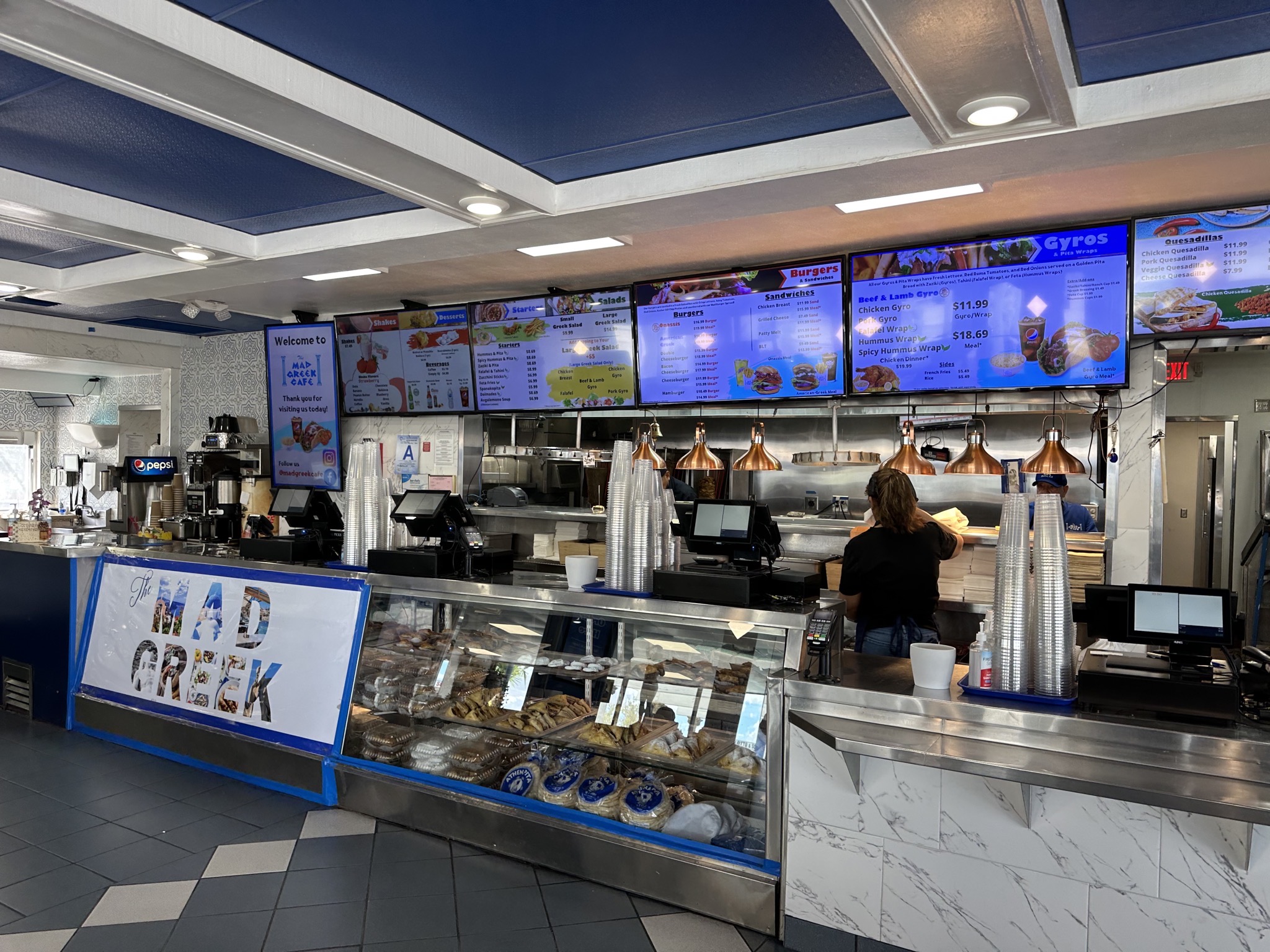
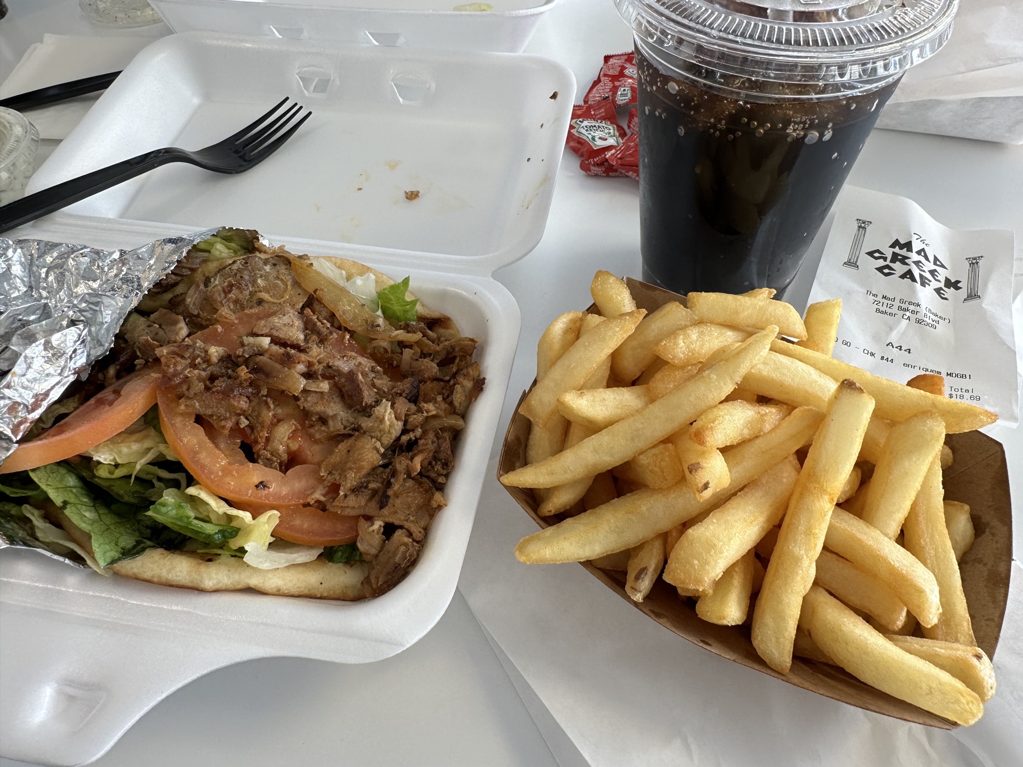
We had lunch at the Mad Greek Cafe:
The Thermometer again:
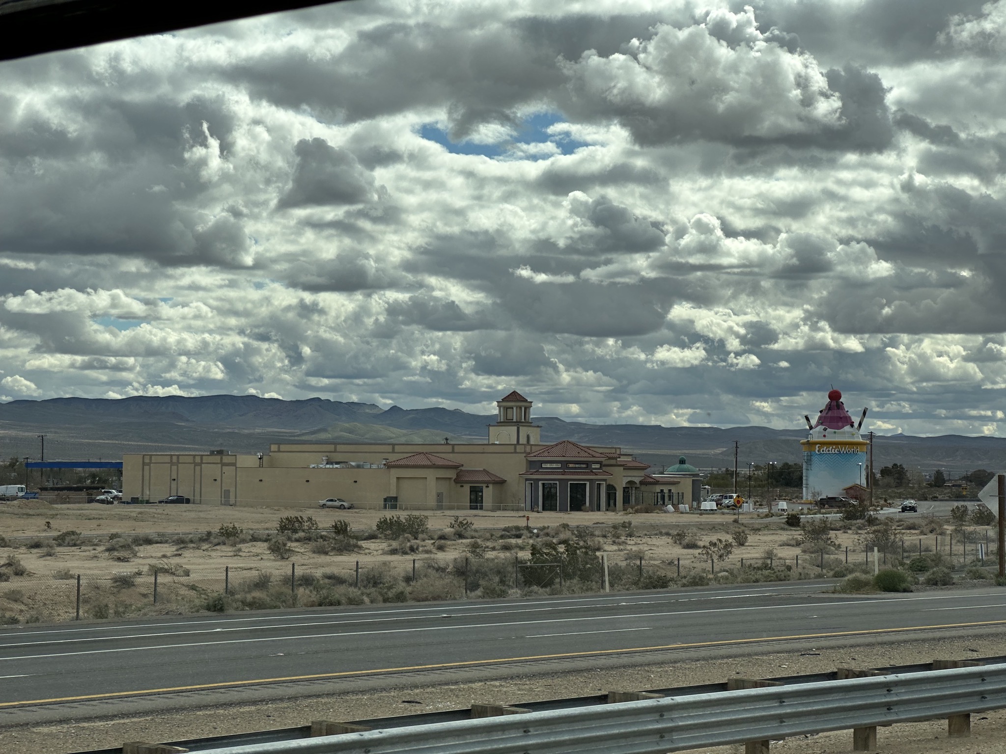
EddieWorld, apparently California’s largest gas station (looks pretty small compared to Buc-ees in Texas, but we haven’t actually visited either):
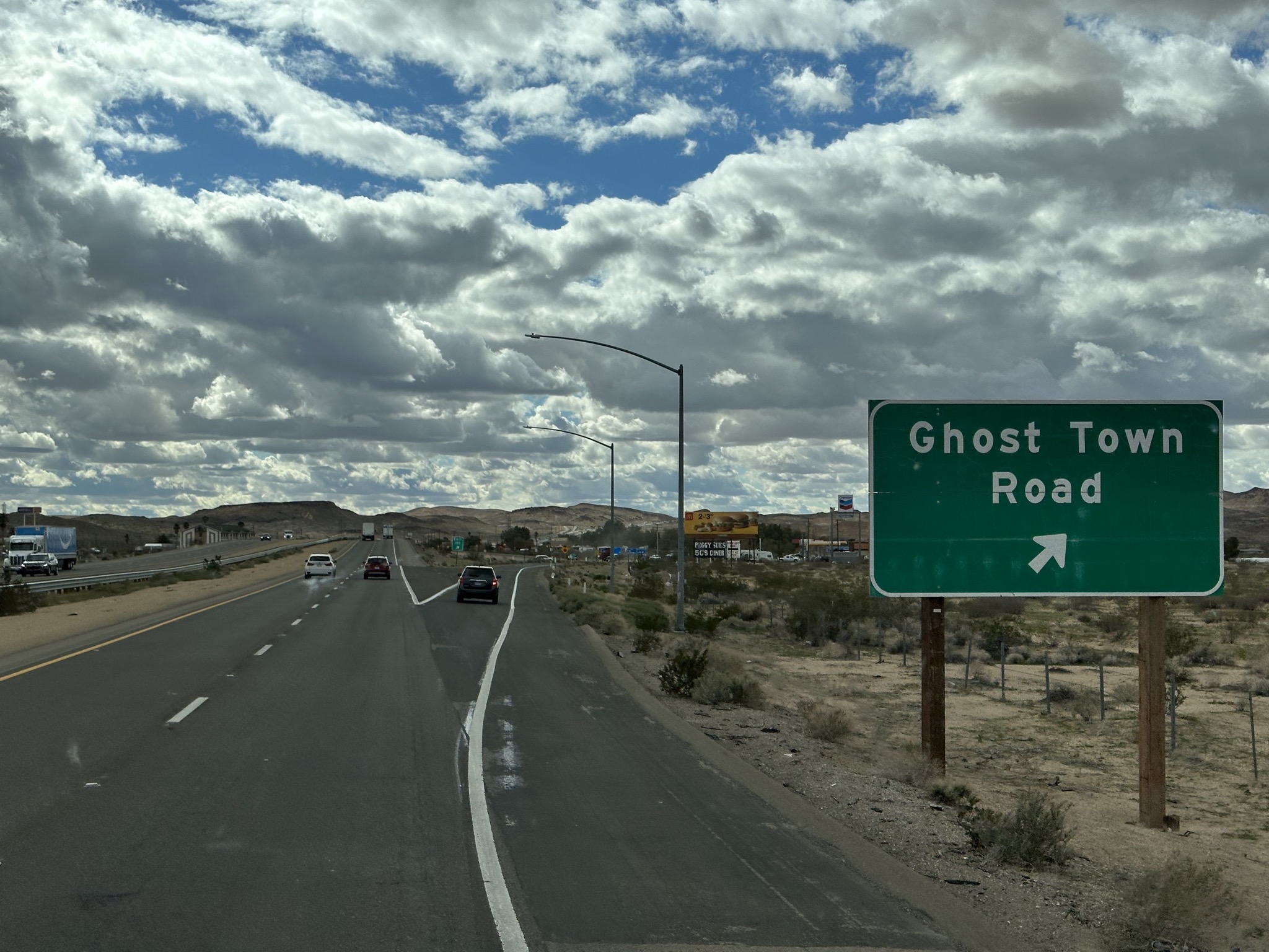
Ghost Town Road:
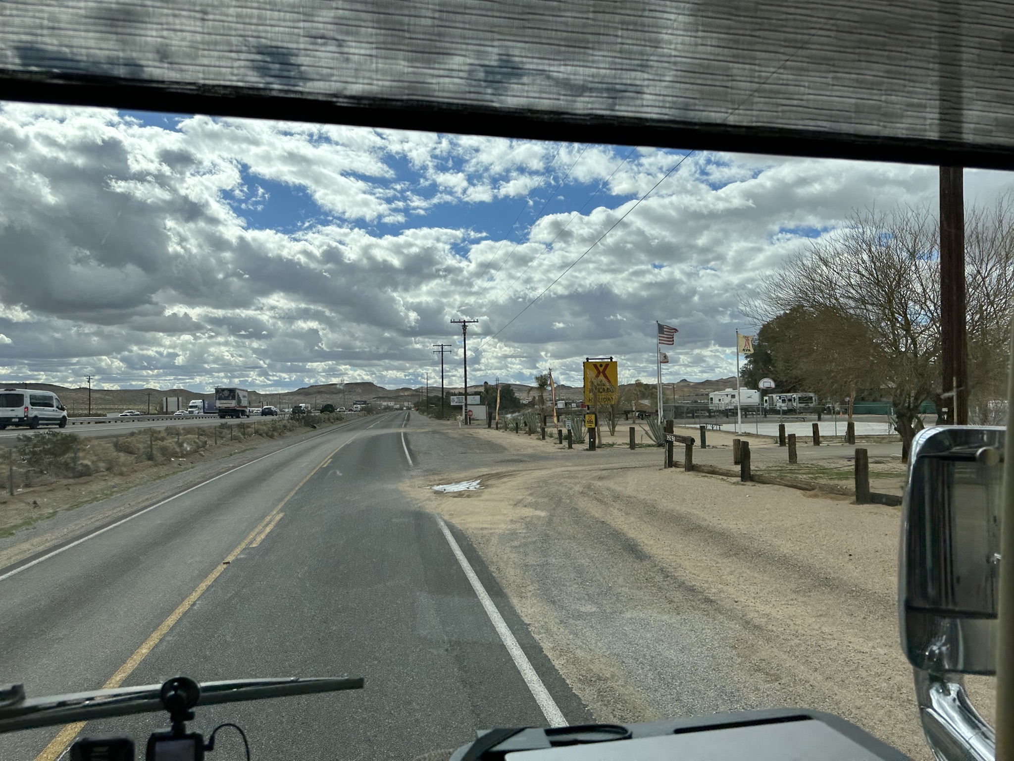
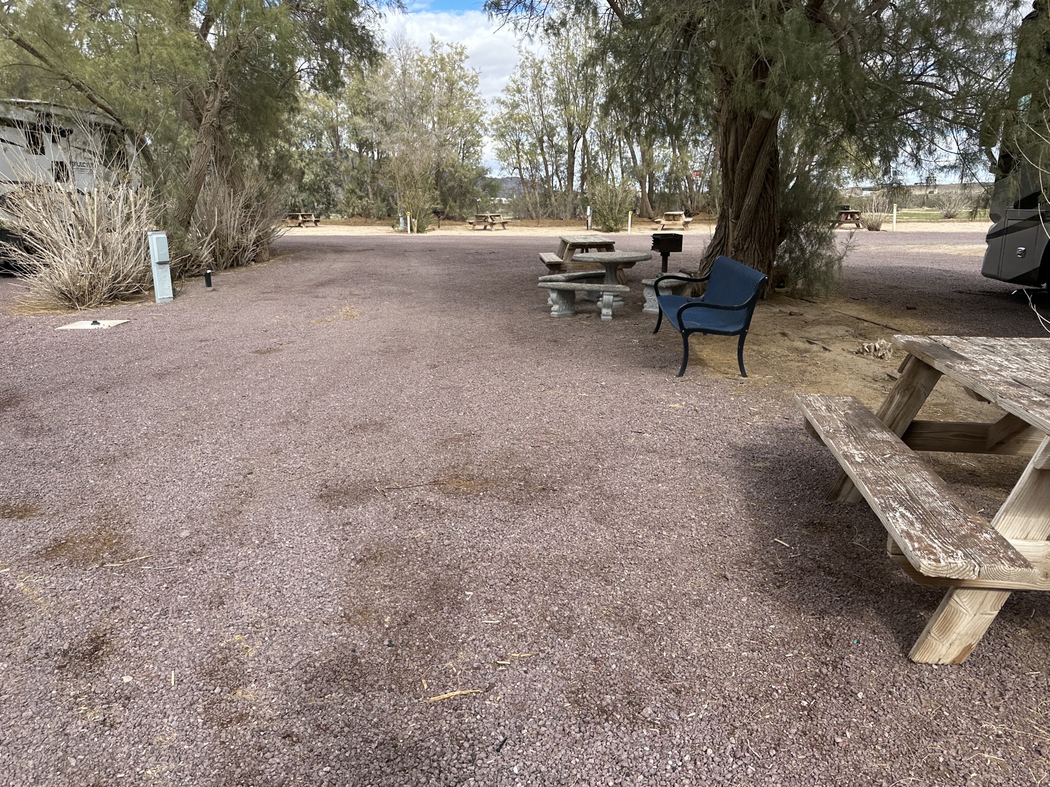
Our destination: