· cat · food · map · RV · travel
We drove our coach 201 miles, about four hours of driving, from Myrtle Beach, South Carolina to Chocowinity, North Carolina. Another new state.
Here’s a map showing our route, heading north:
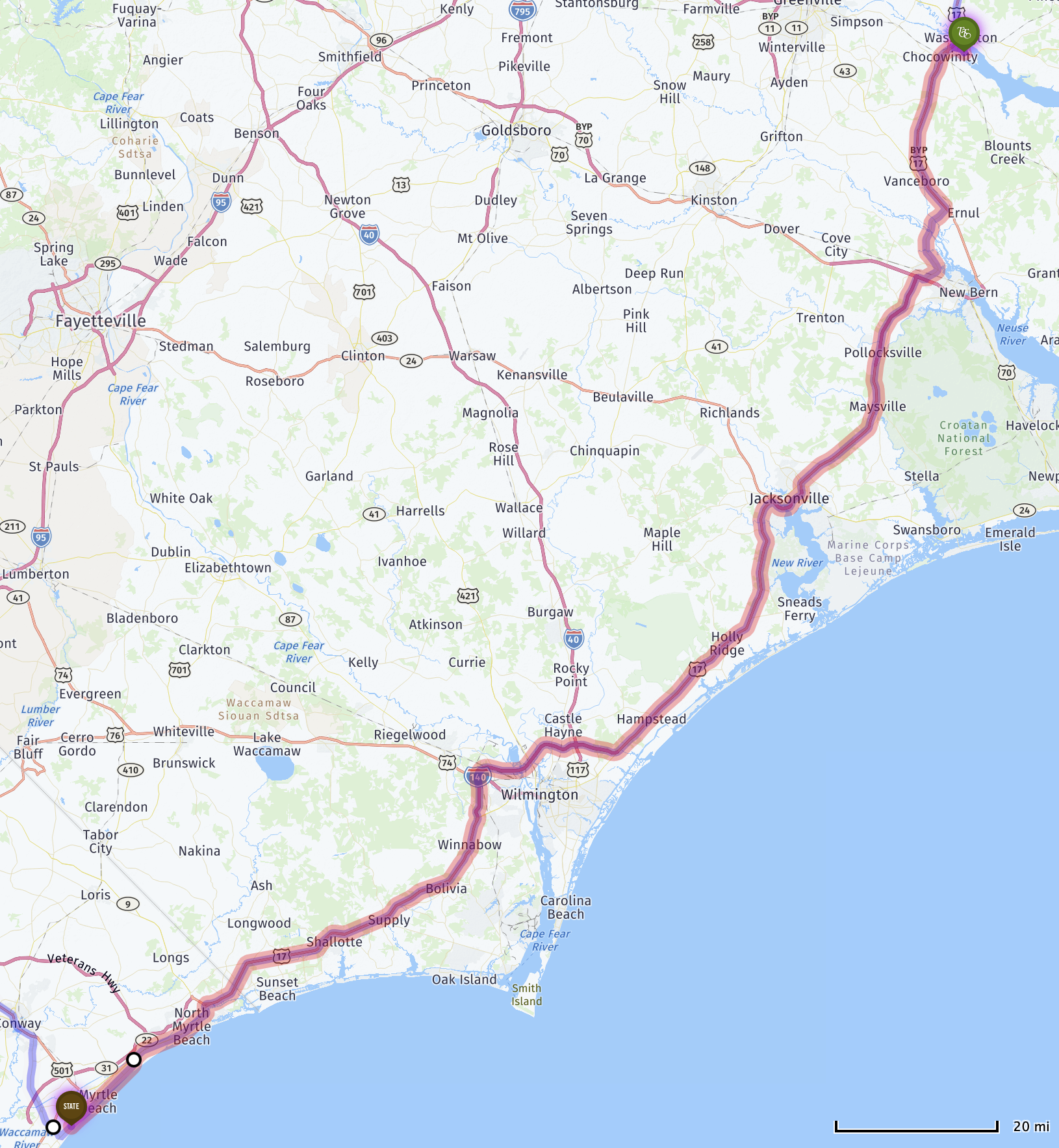
An interactive map:
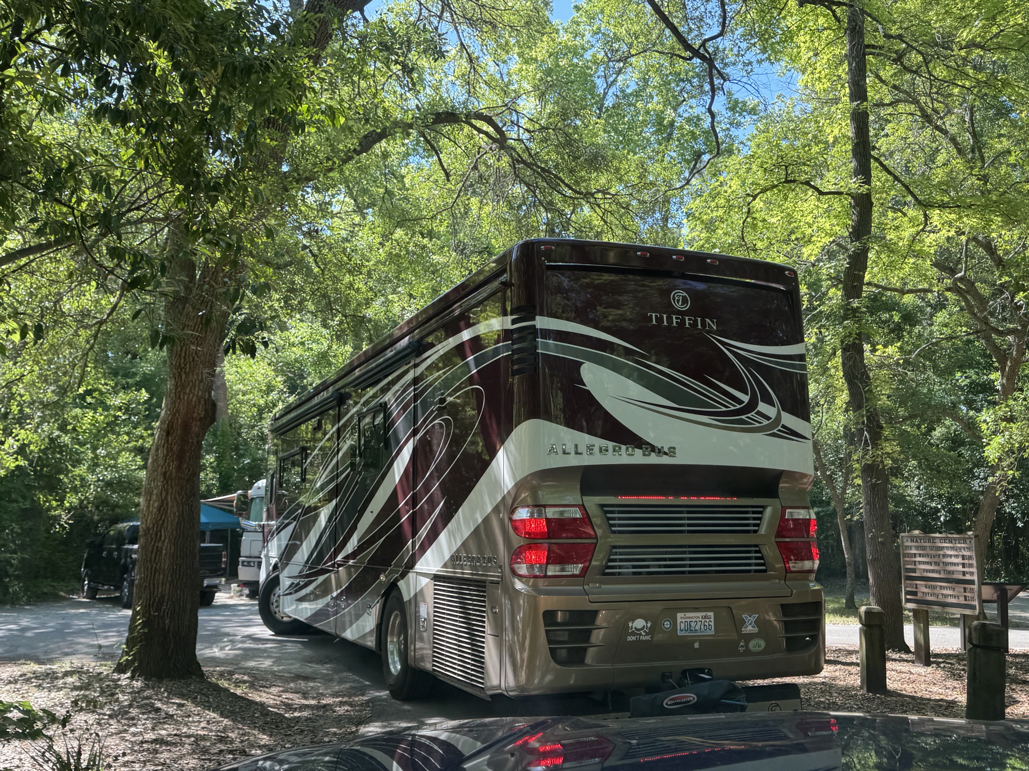
Leaving the campsite:
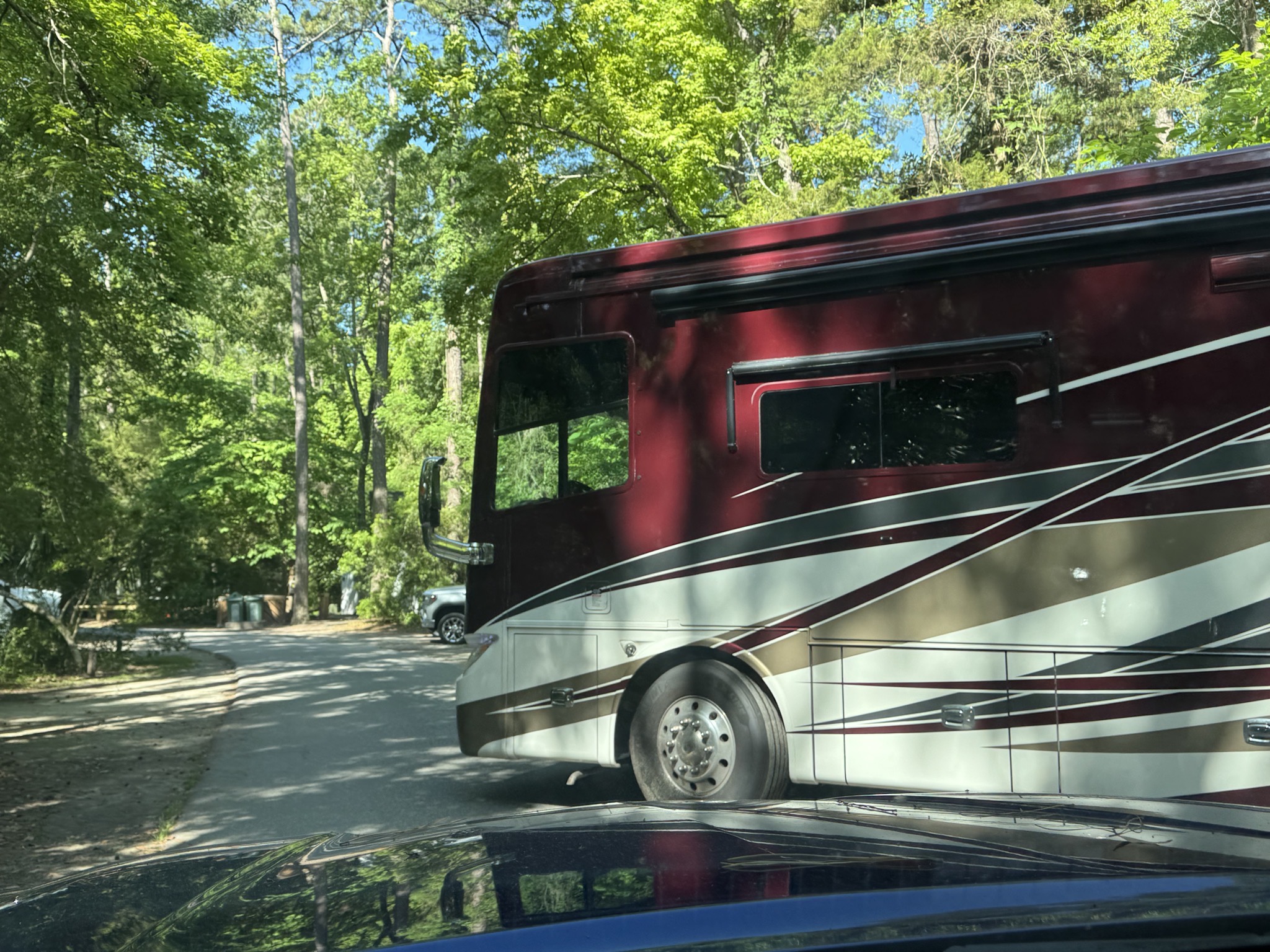
A little narrow:
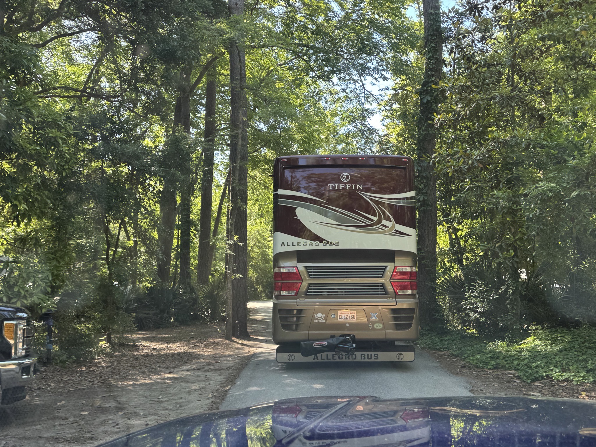
A tight turn:
Toading up:
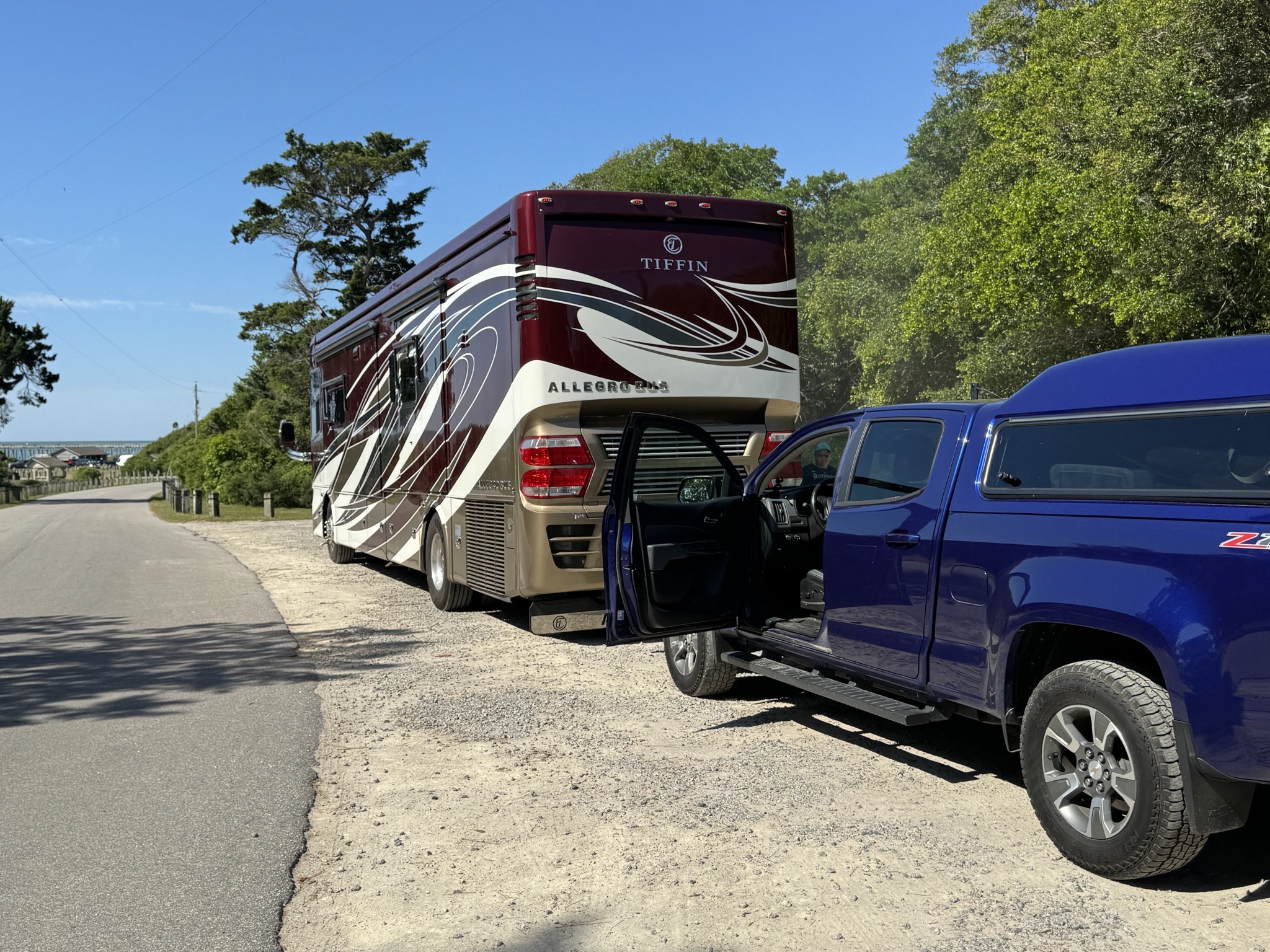
Goodbye beach:
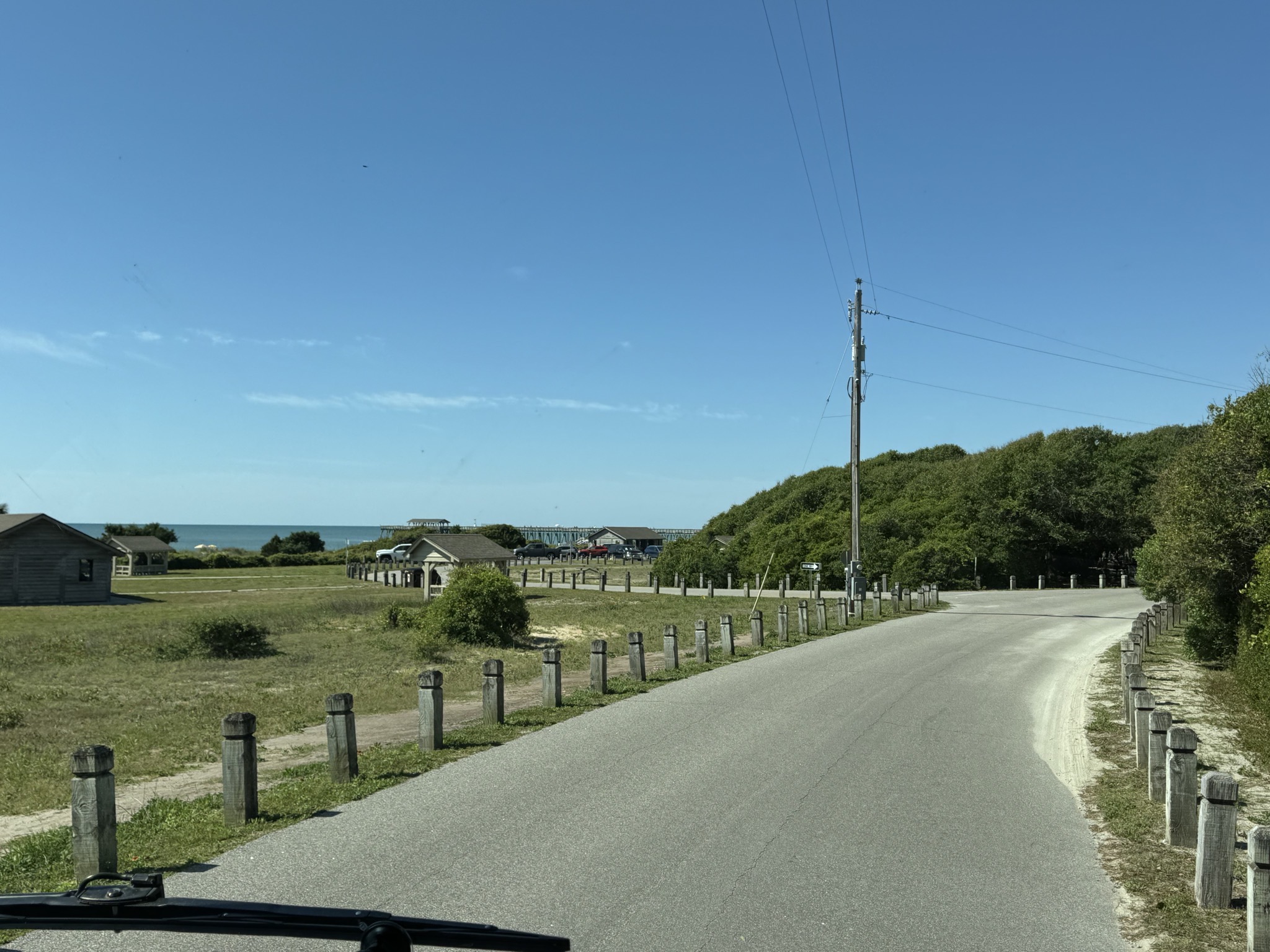
Exiting the state park:
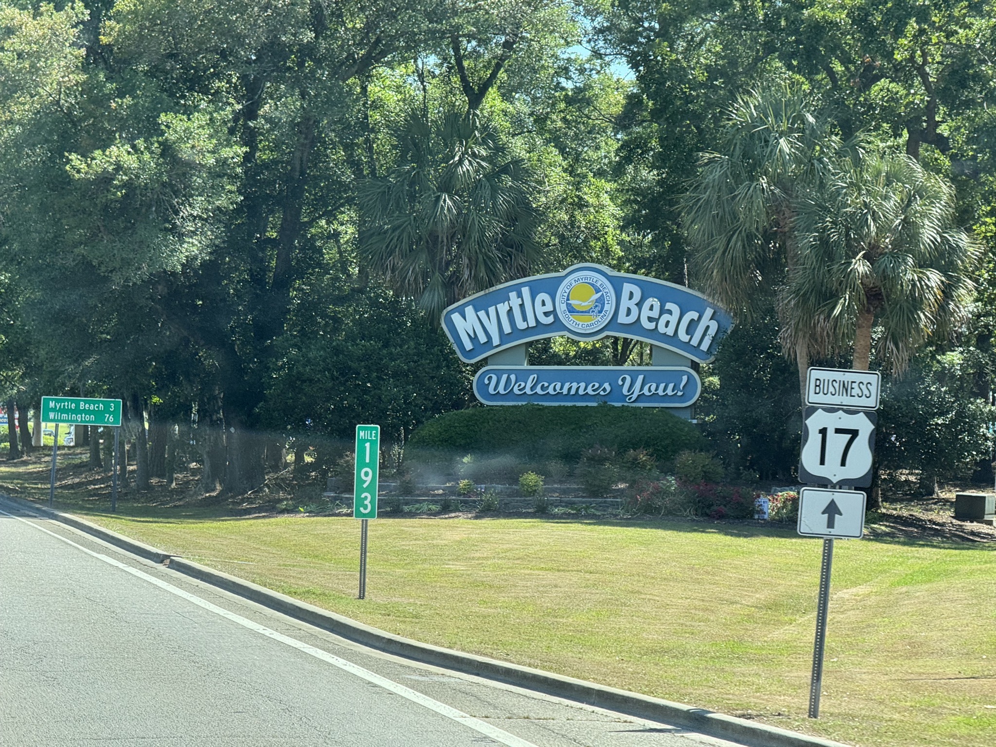
Myrtle Beach Welcomes You:
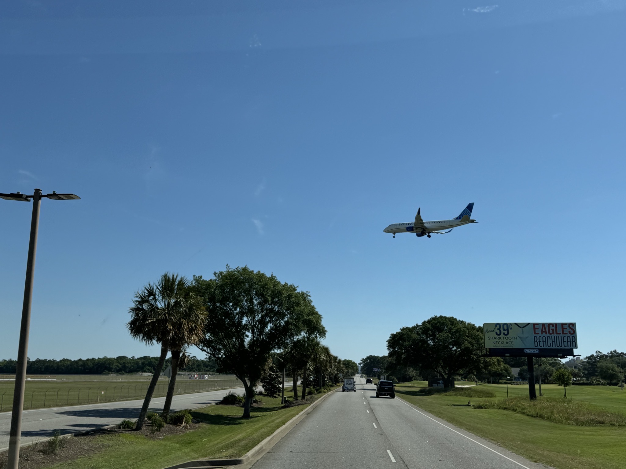
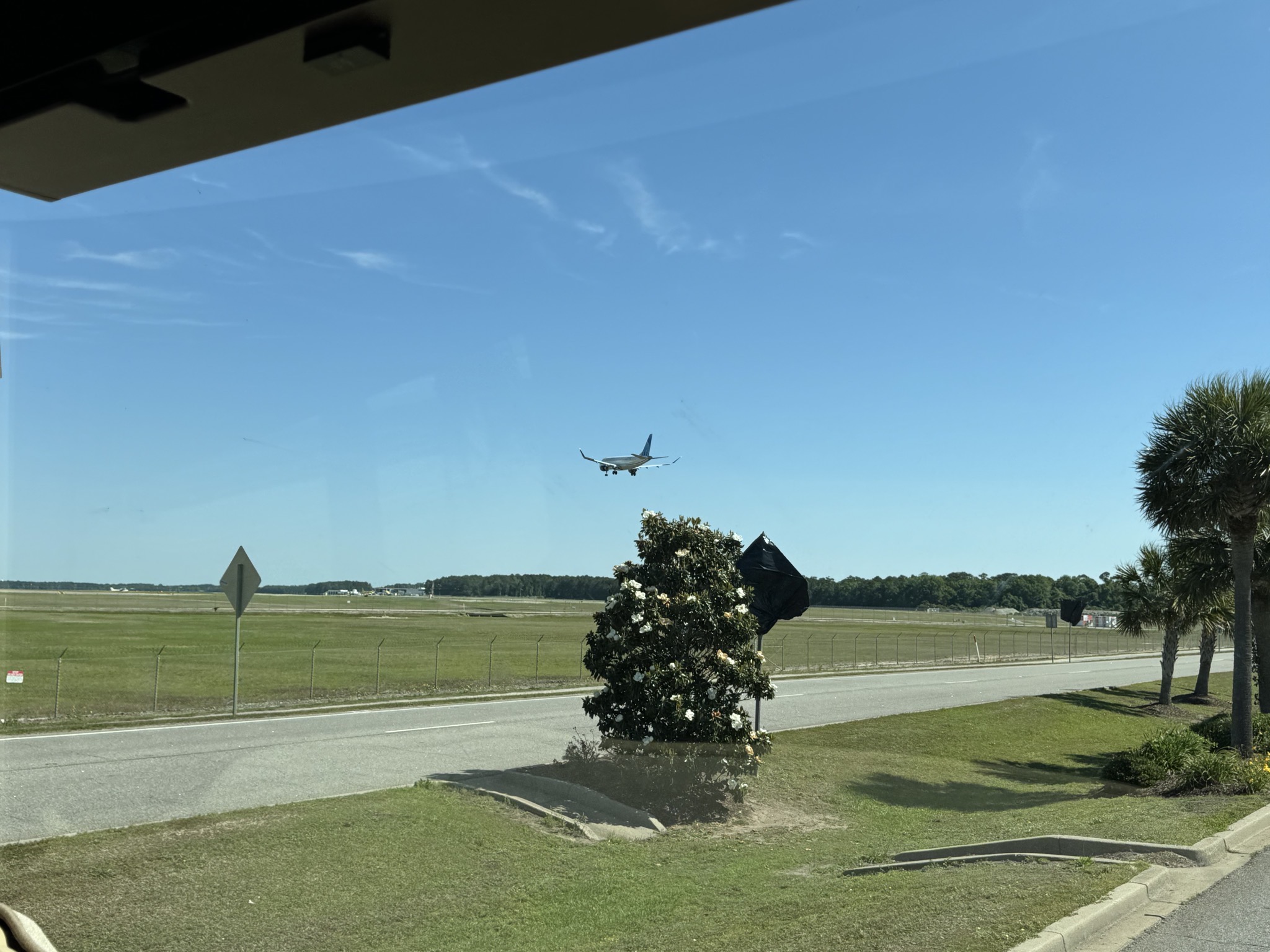
A plane flying low over the highway; the airport is right next to it:
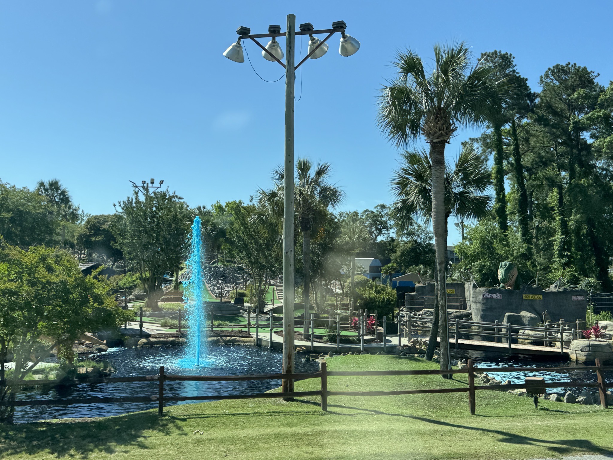
Blue water at mini golf:
Wax museum:
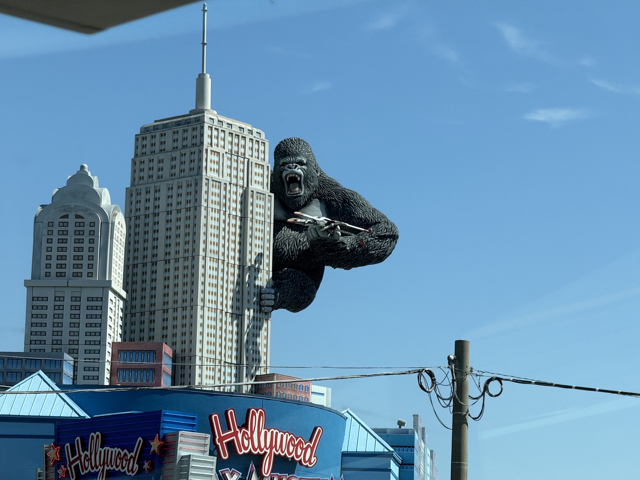
Another mini golf:
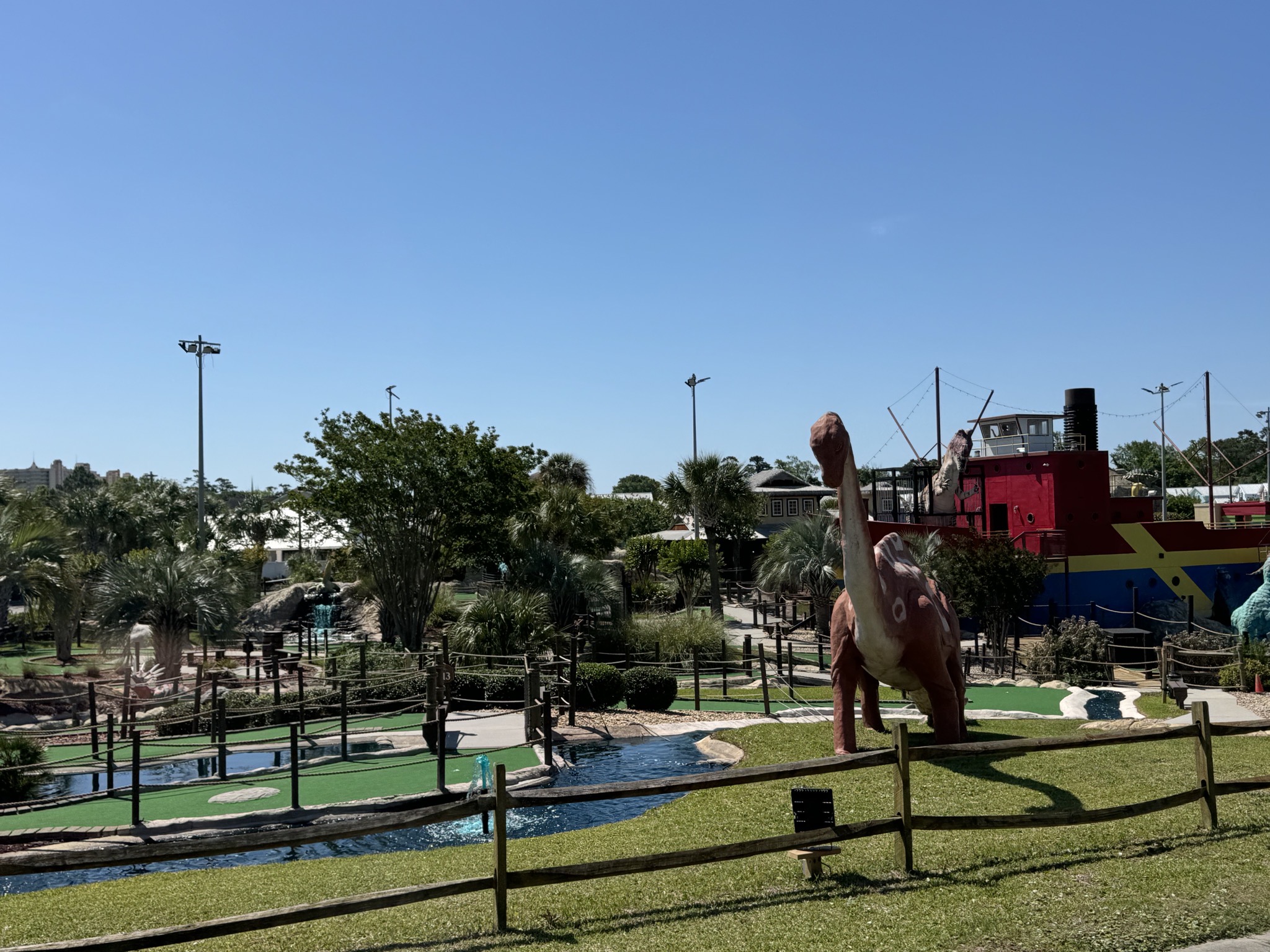
Yet another mini golf:
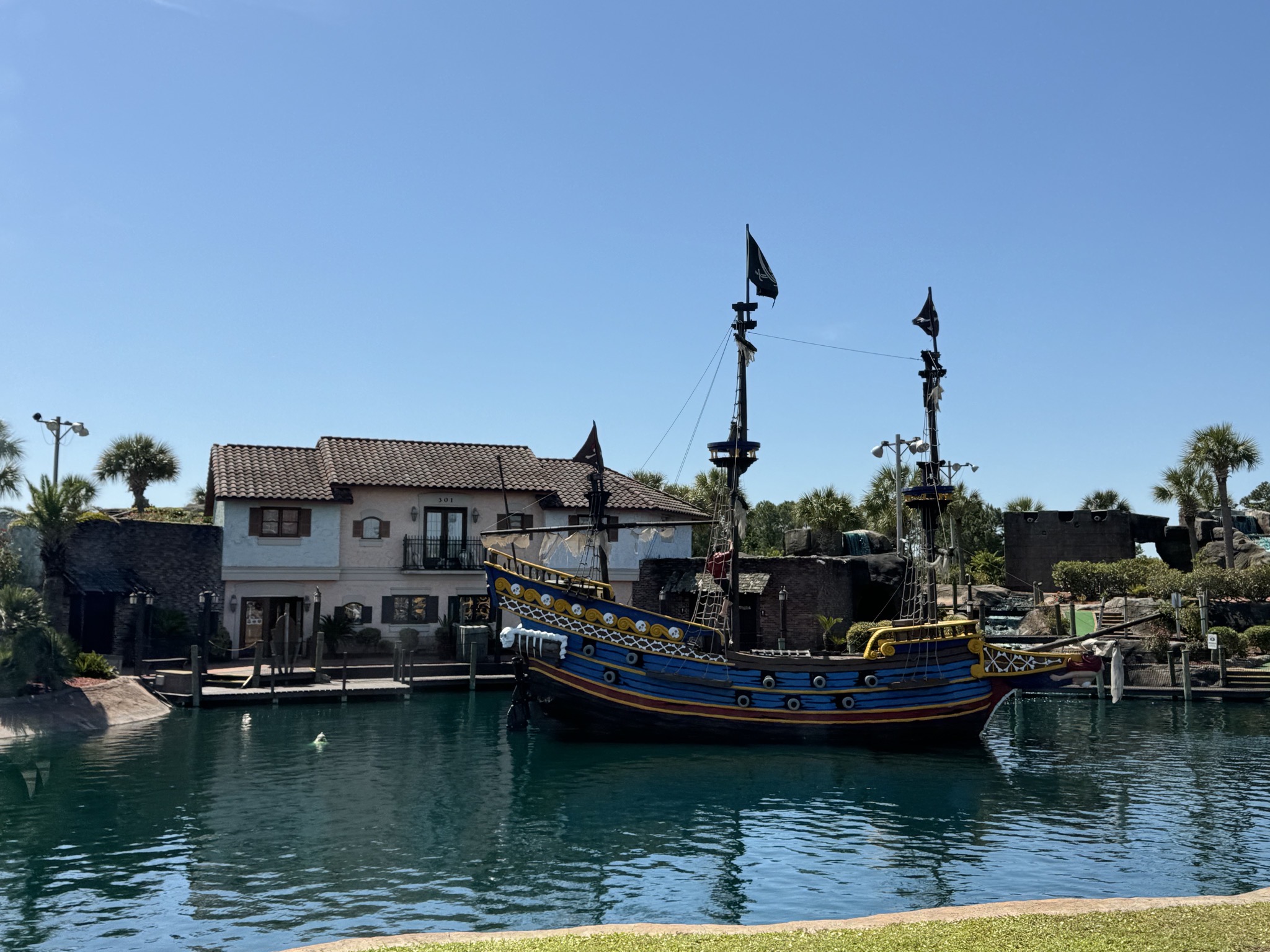
Crossing the Intracoastal Waterway (ICW):
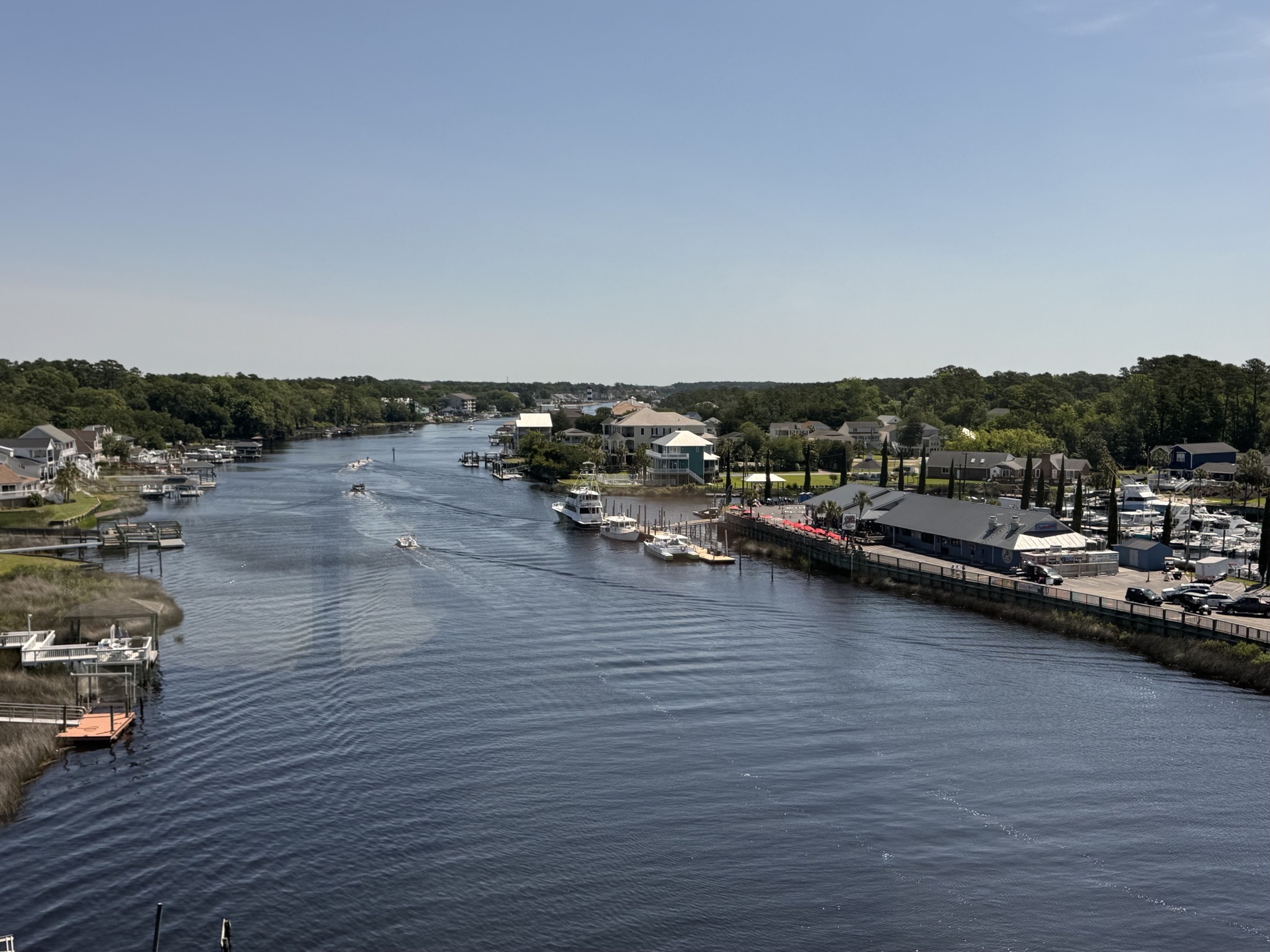
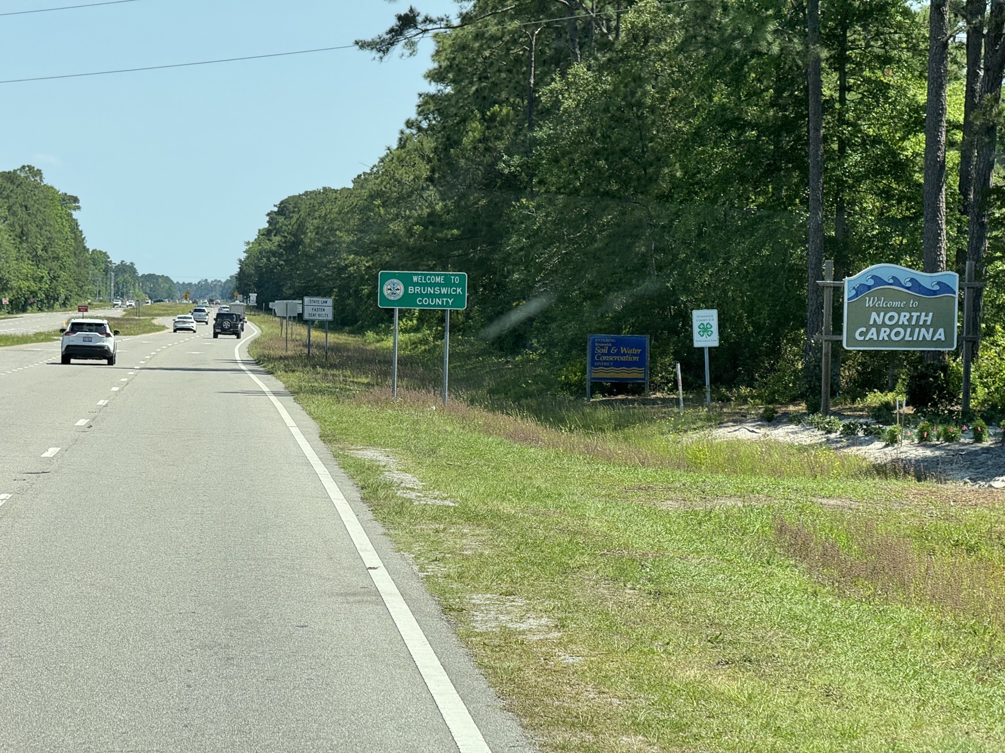
Welcome to North Carolina:
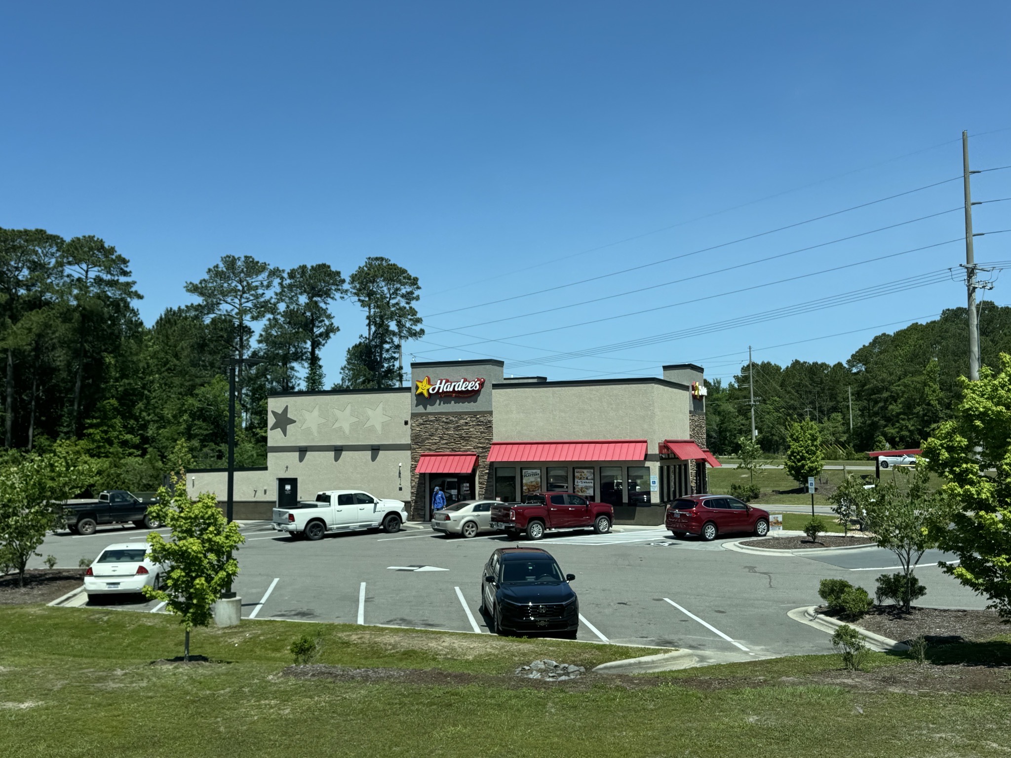
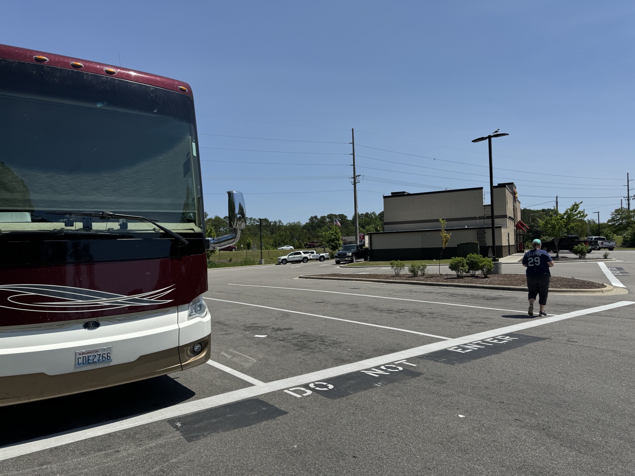
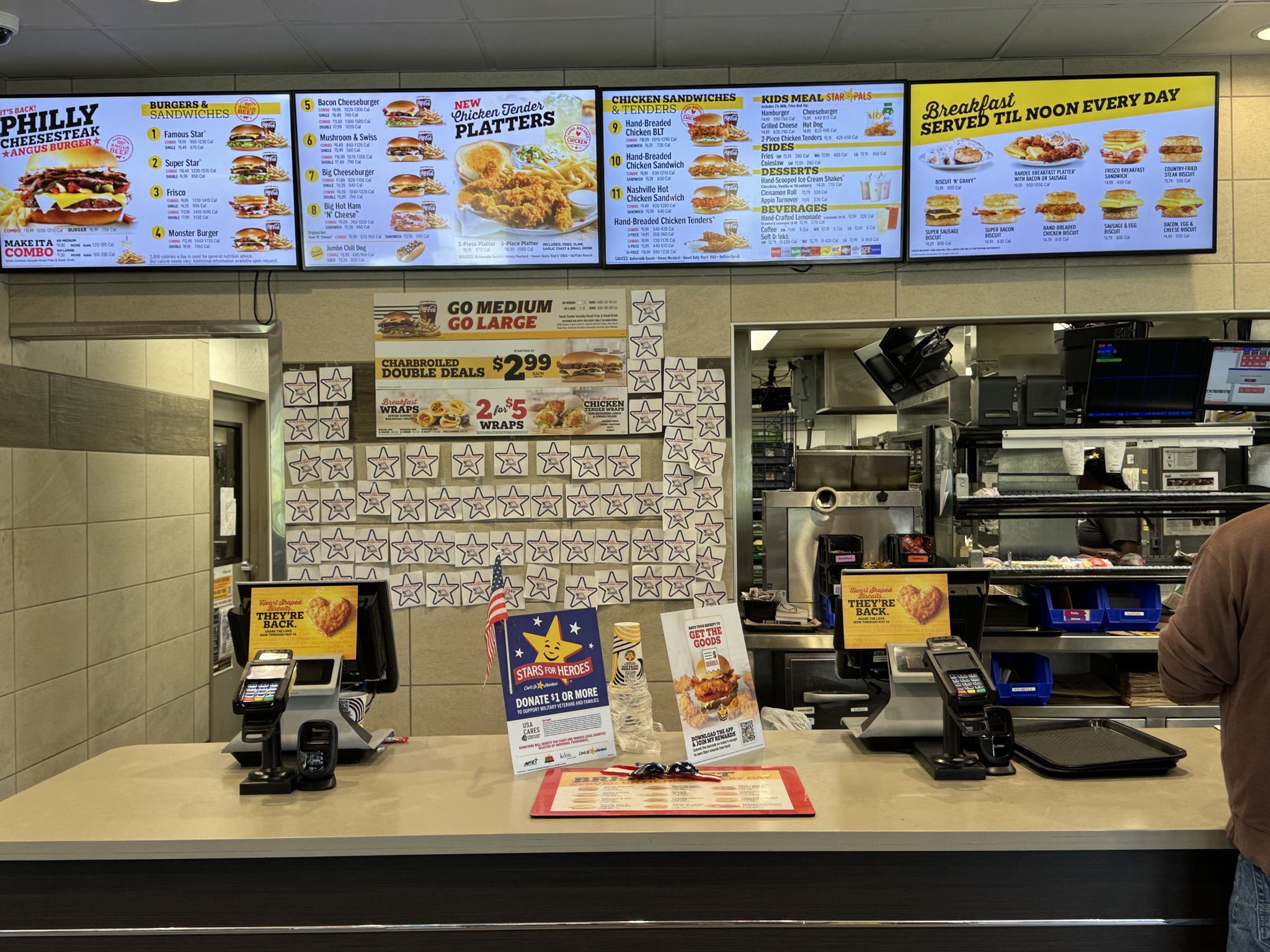
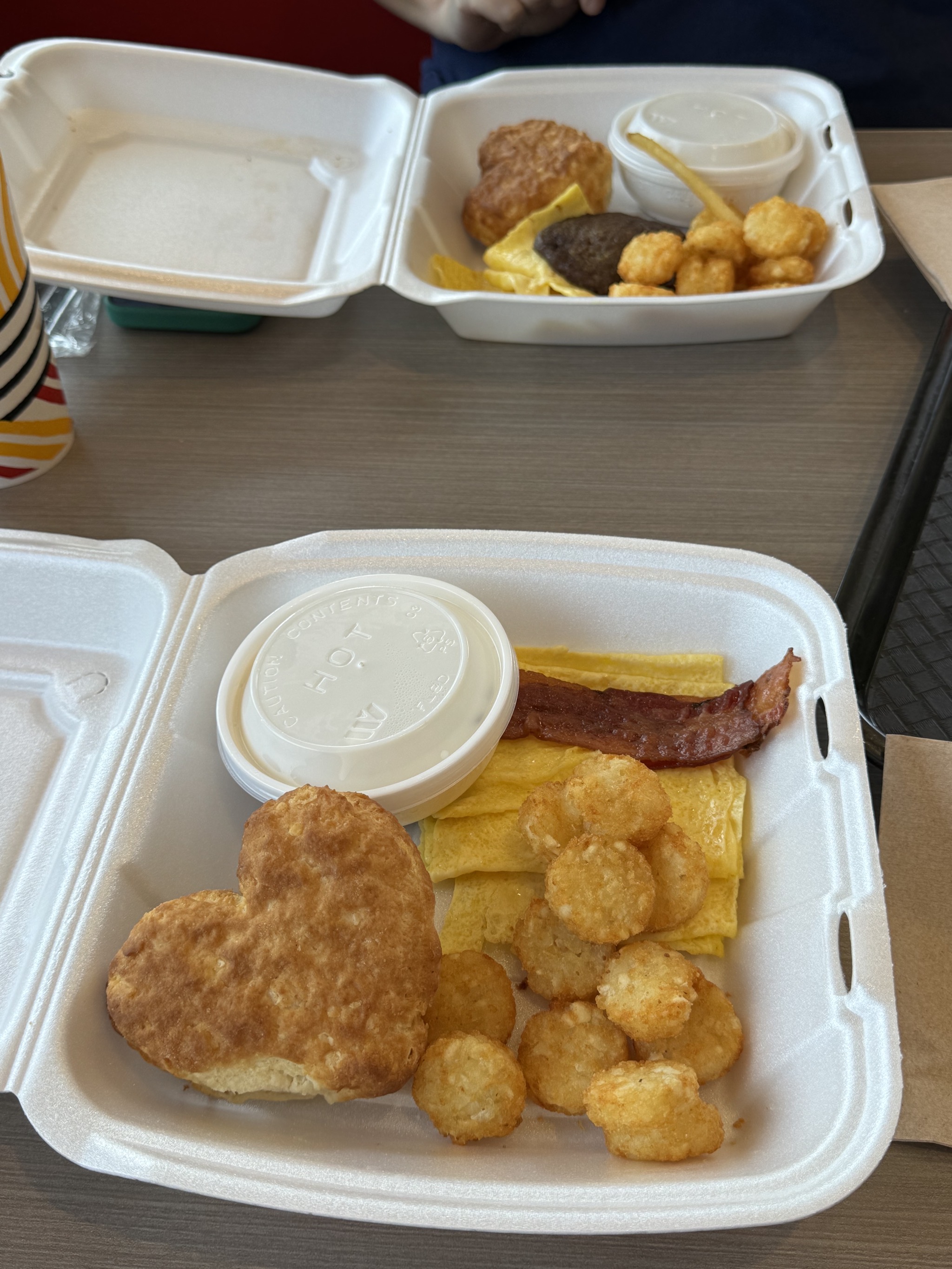
We stopped at a Hardee’s for lunch, as they had RV-sized parking spaces:
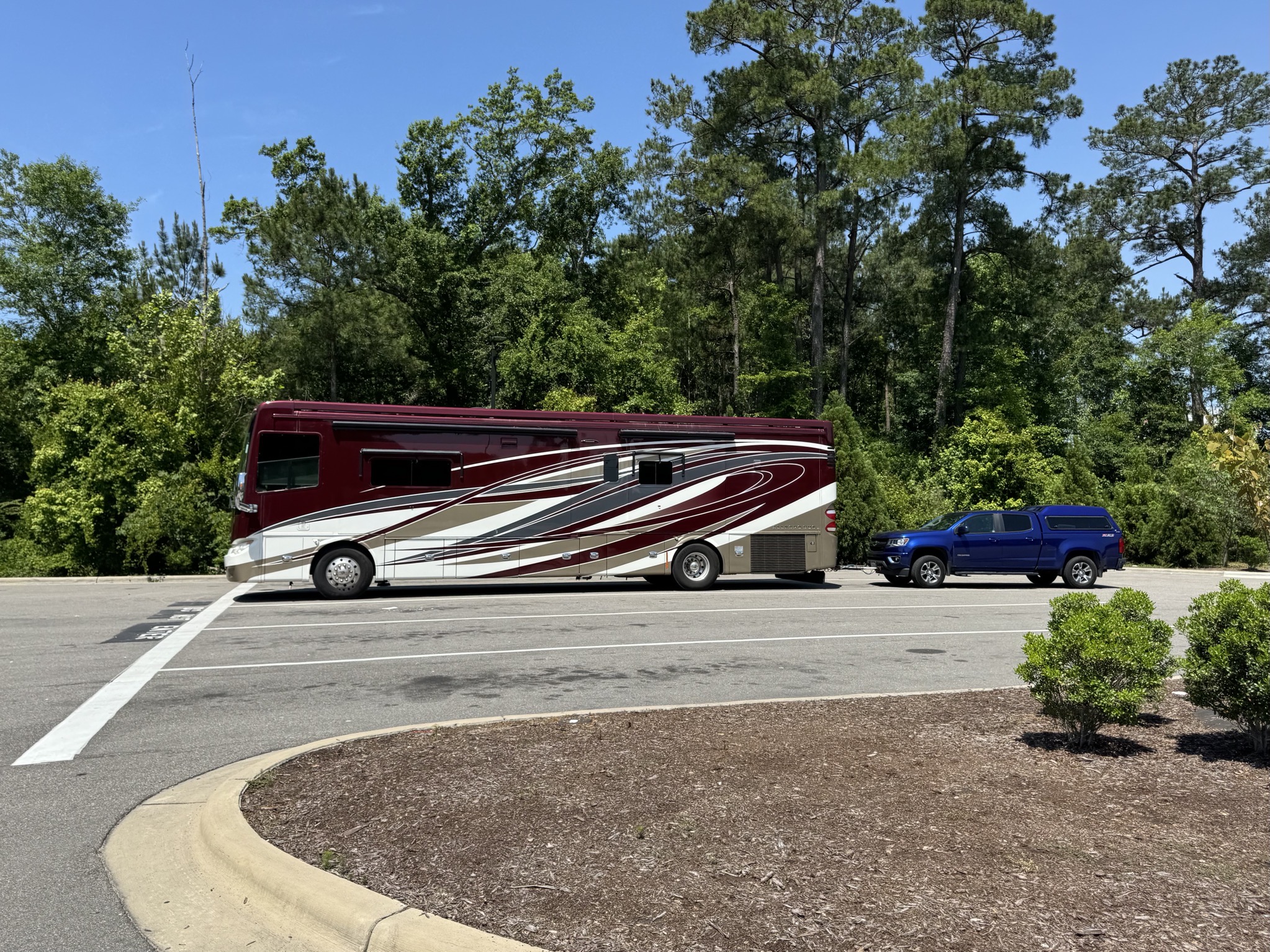
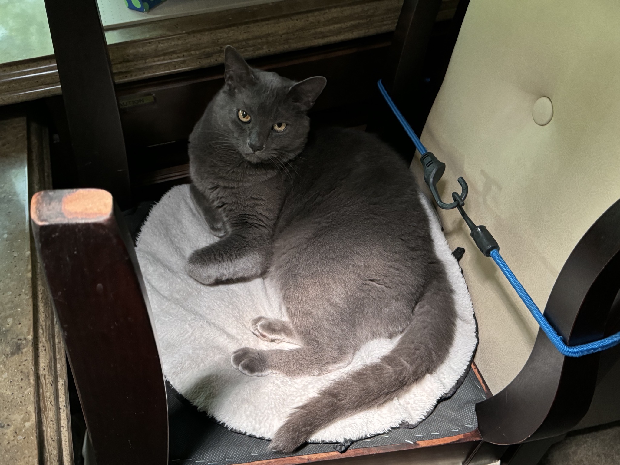
Back at our coach, Paladin in his nest:
Exit:
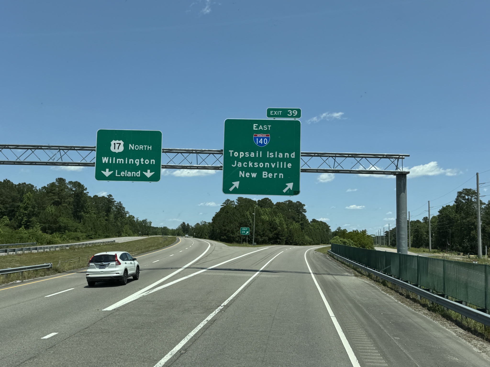
Hey, there’s Jenn’s brother, Leland:
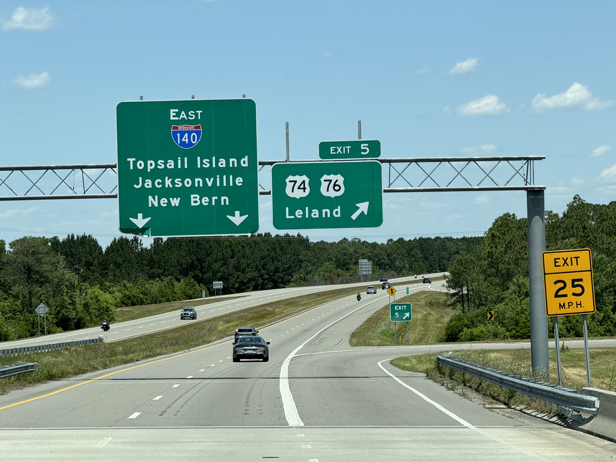
Northeast Cape Fear River:
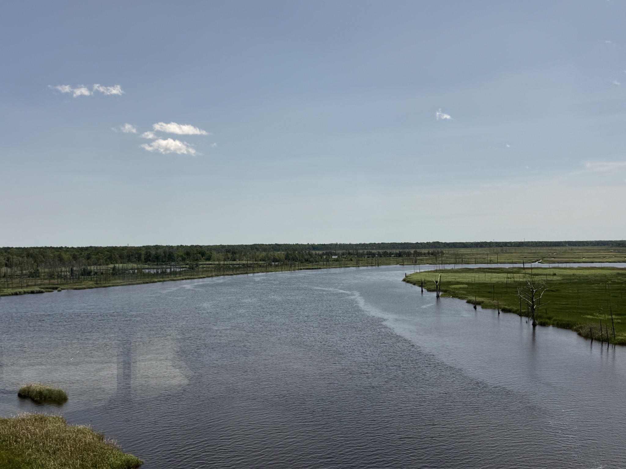
Fun with zoom:
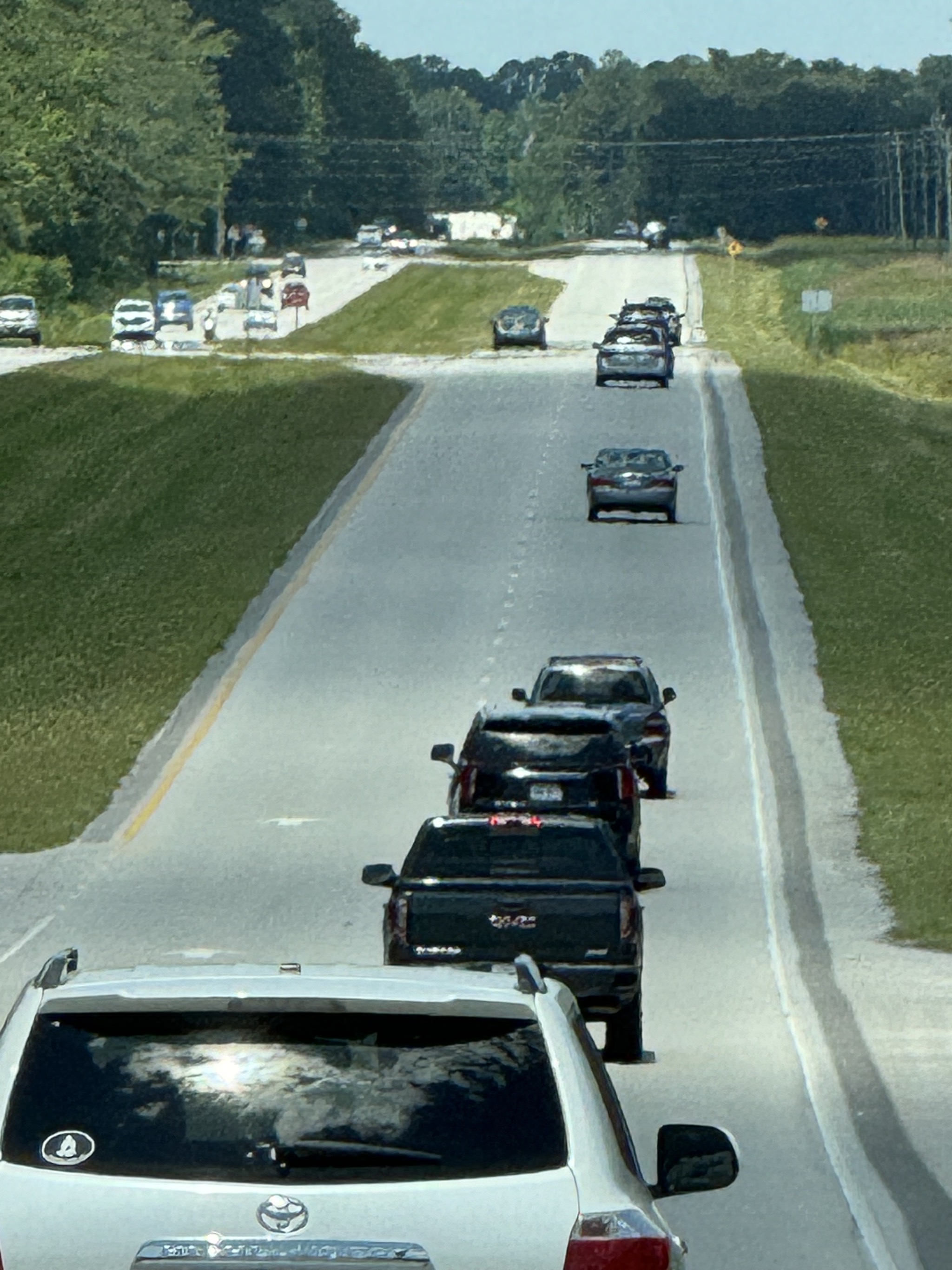
New River:
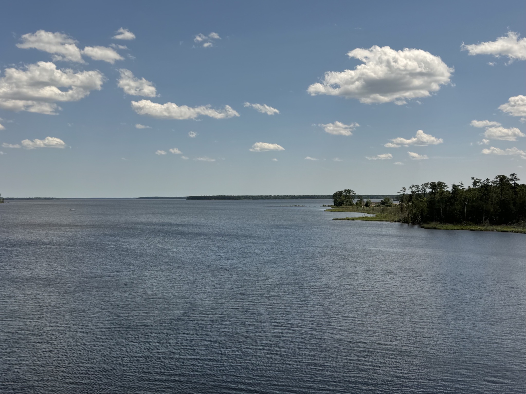
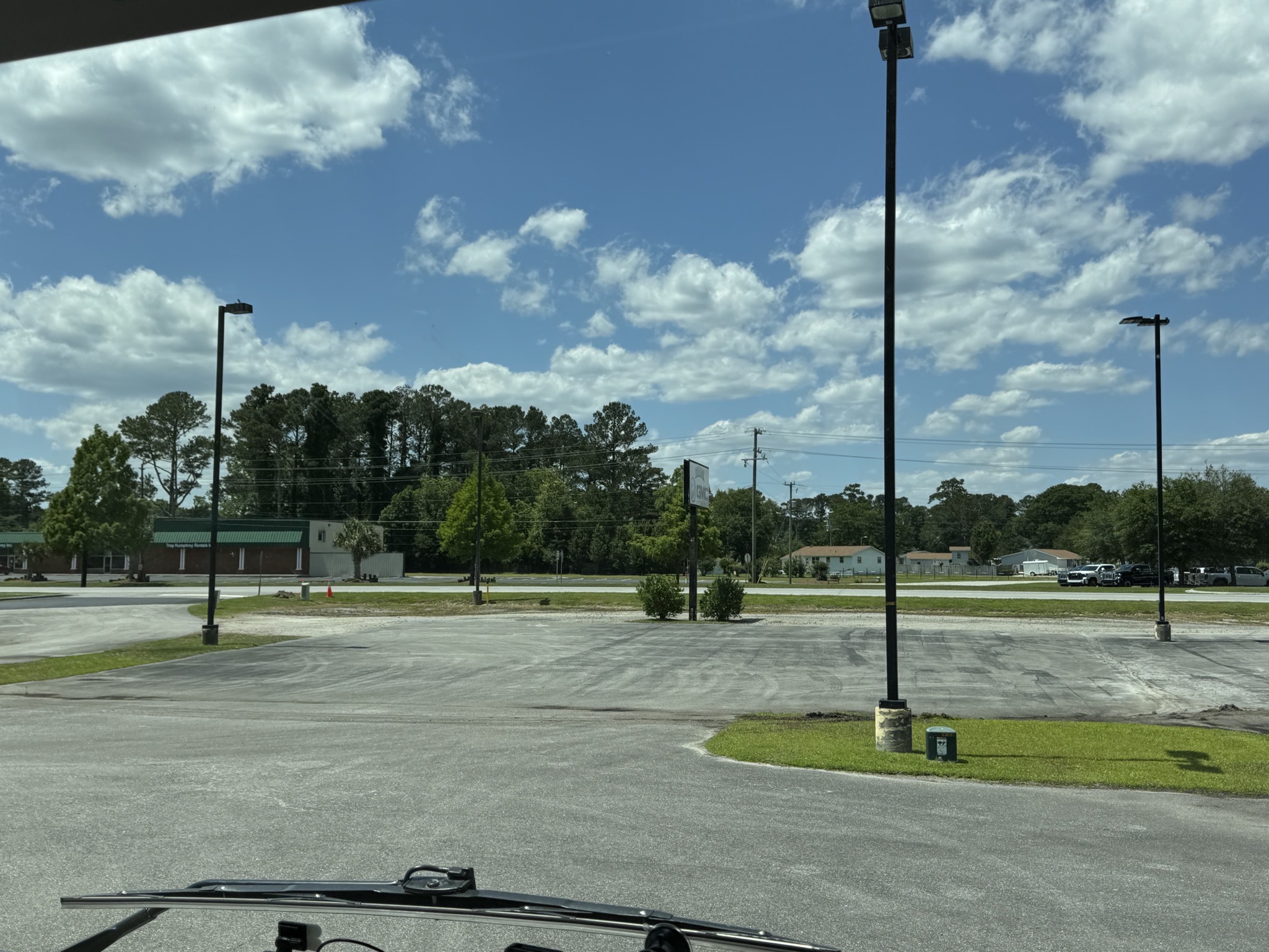
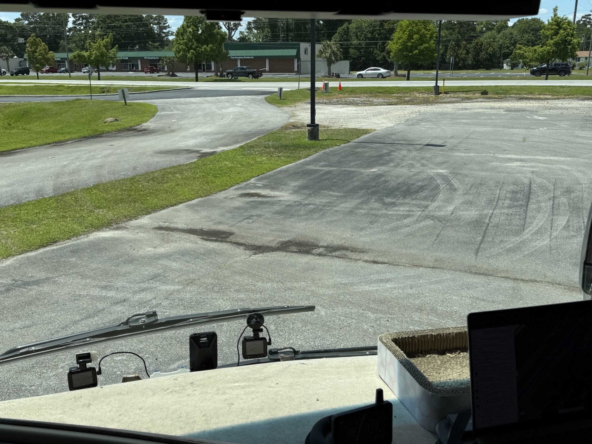
We stopped at a defunct car dealer parking lot; very few stopping opportunities (“stopportunties”) on this route:
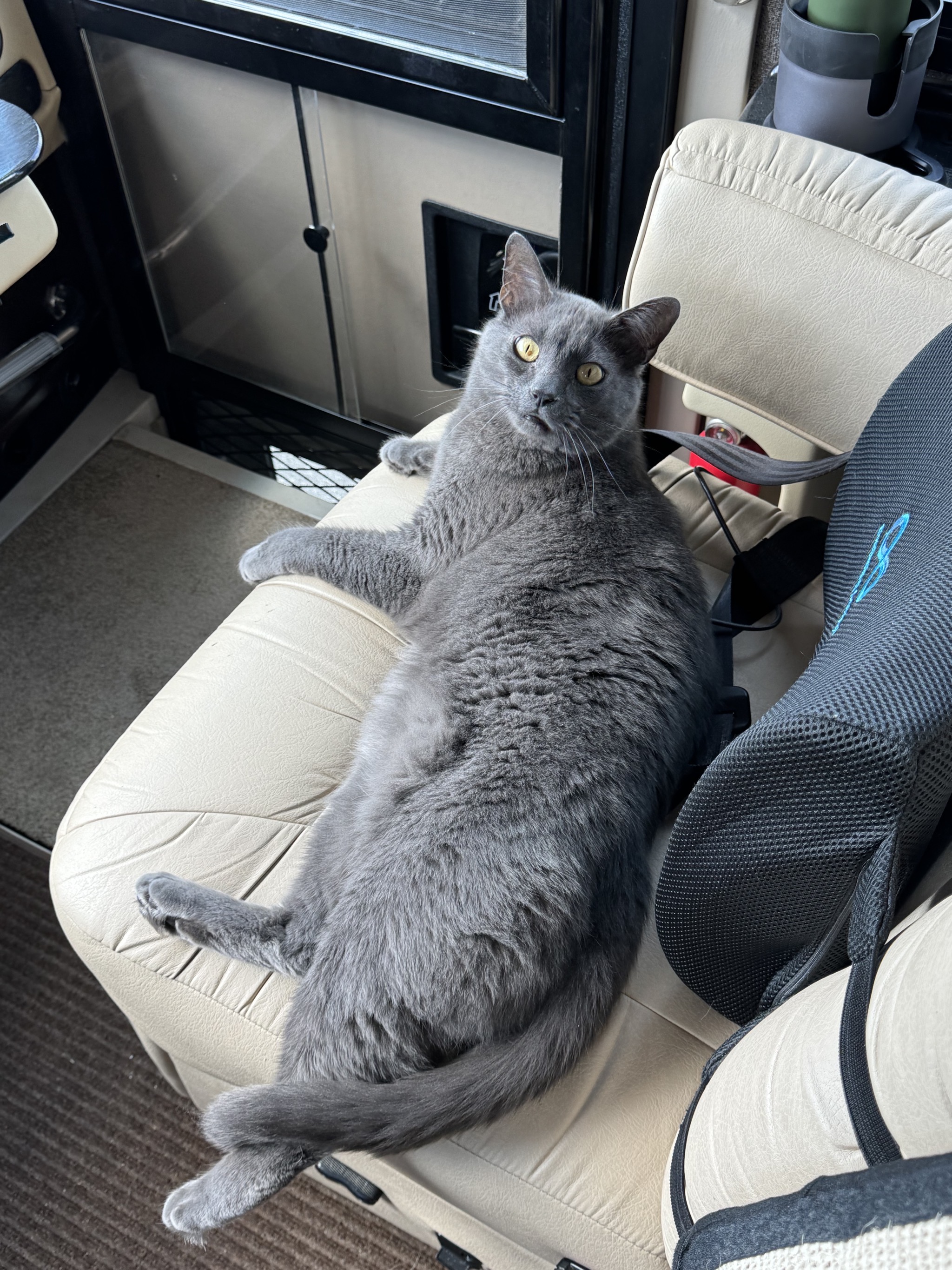
Paladin took my seat when I used the bathroom:
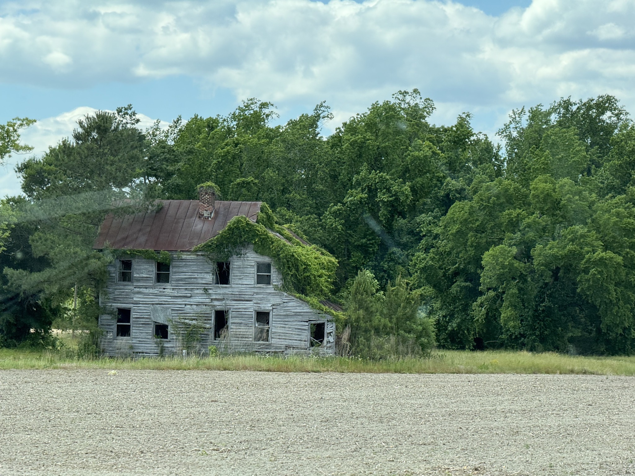
An abandoned house:
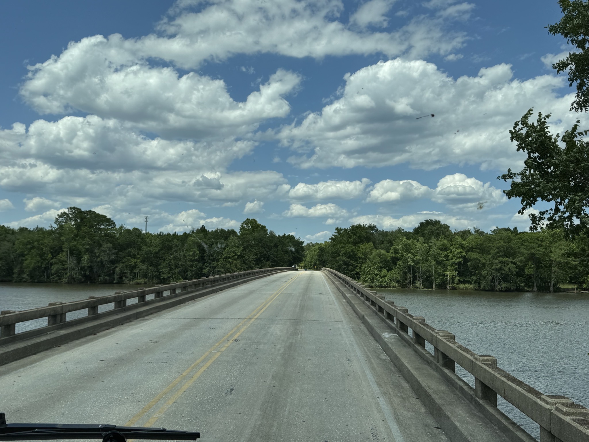
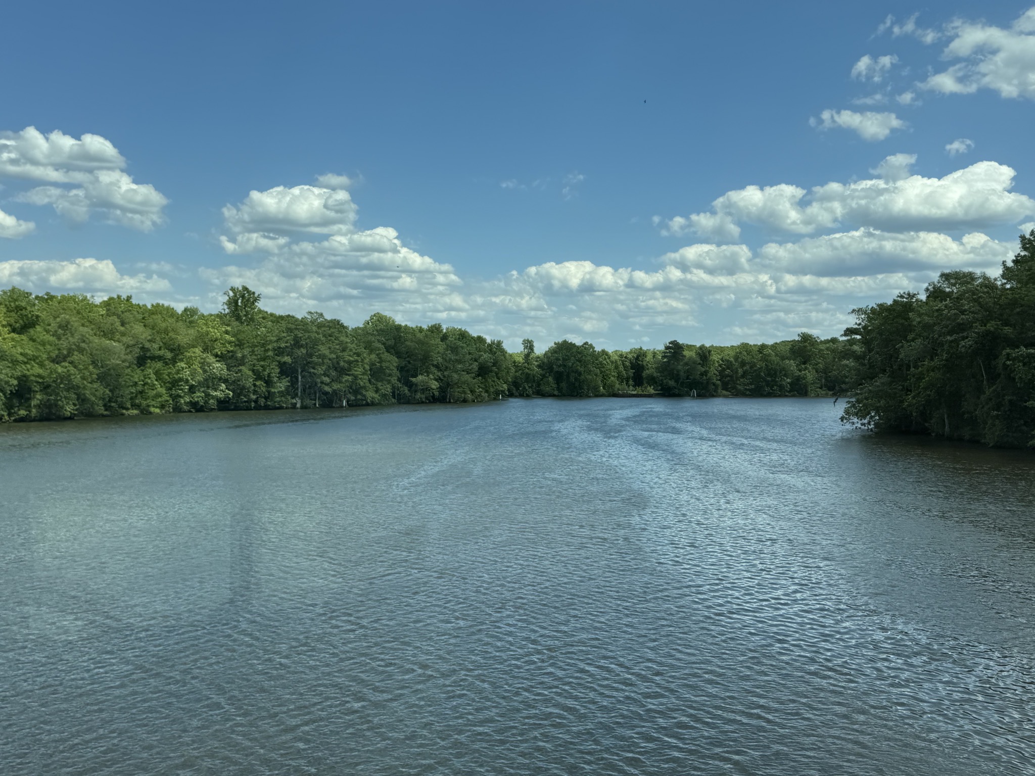
Neuse River:
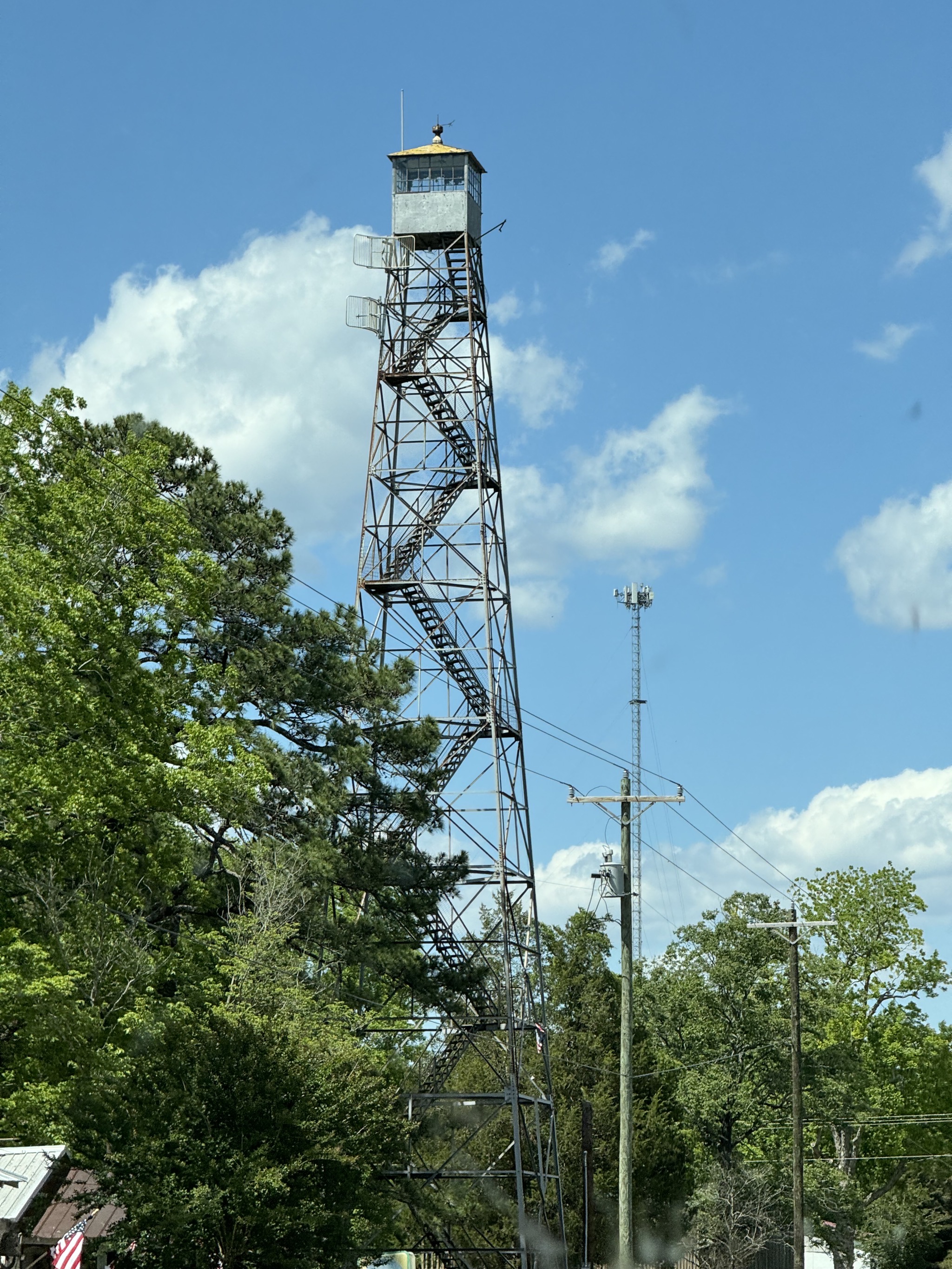
A fire lookout watchtower:
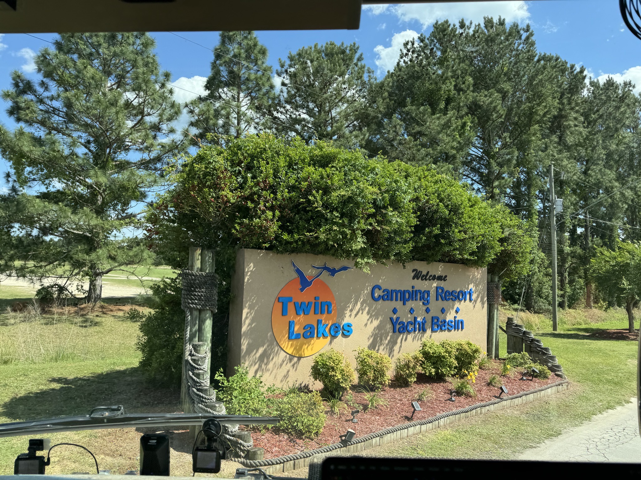
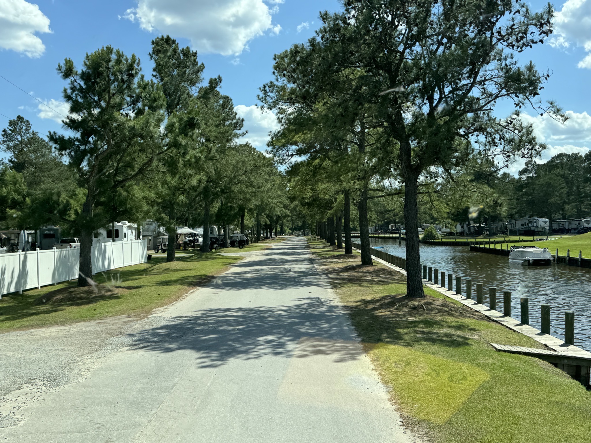
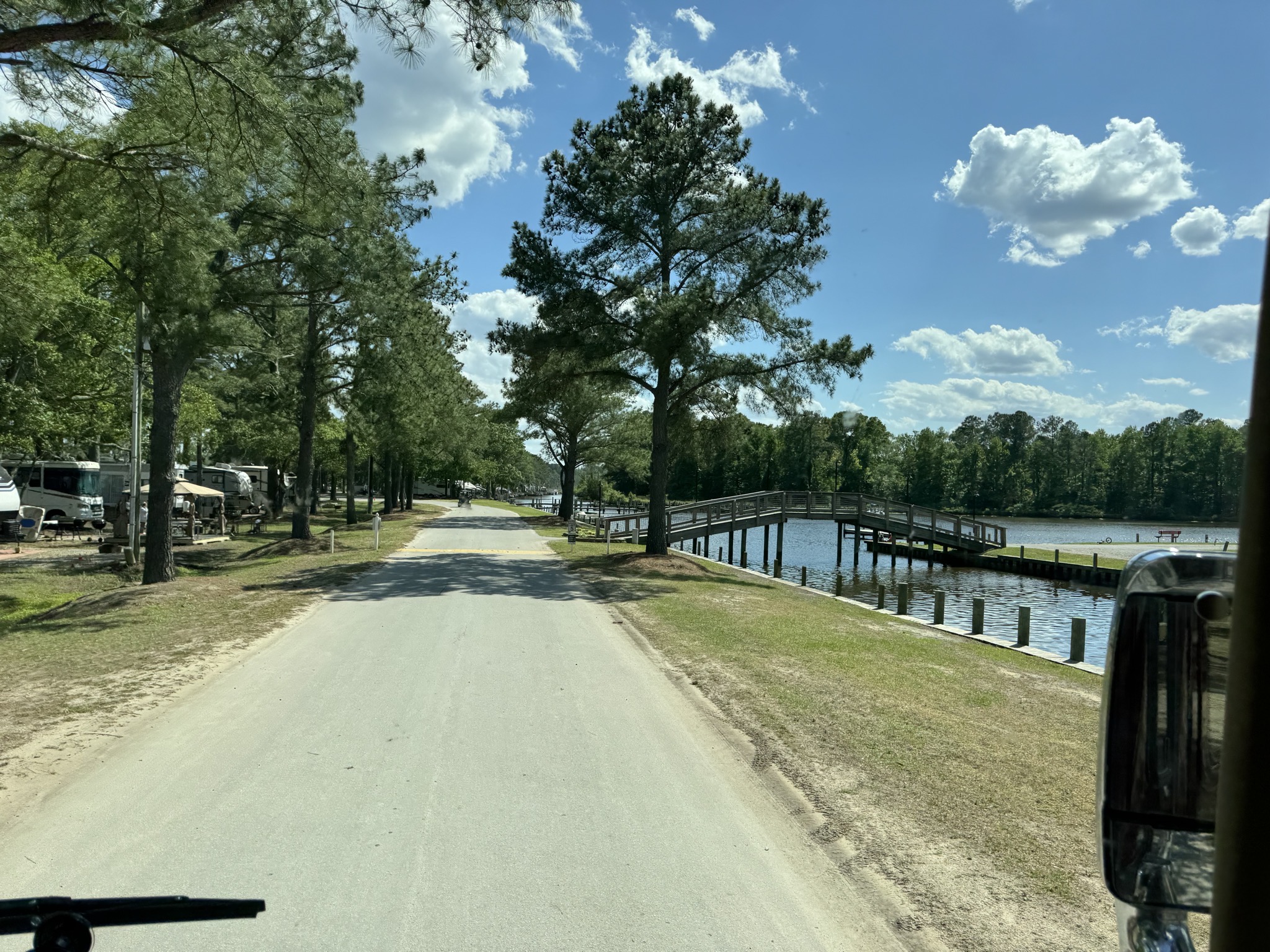
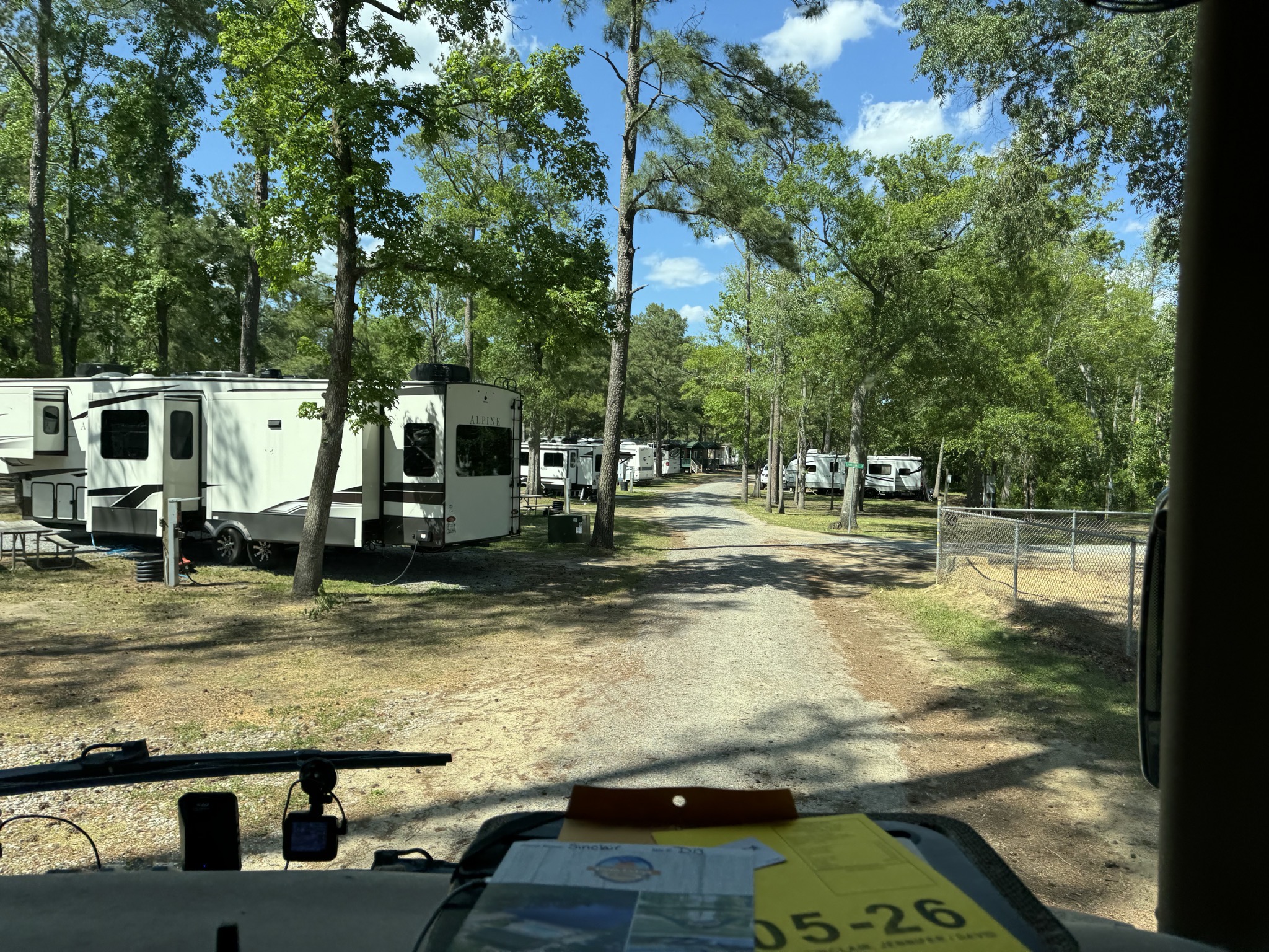
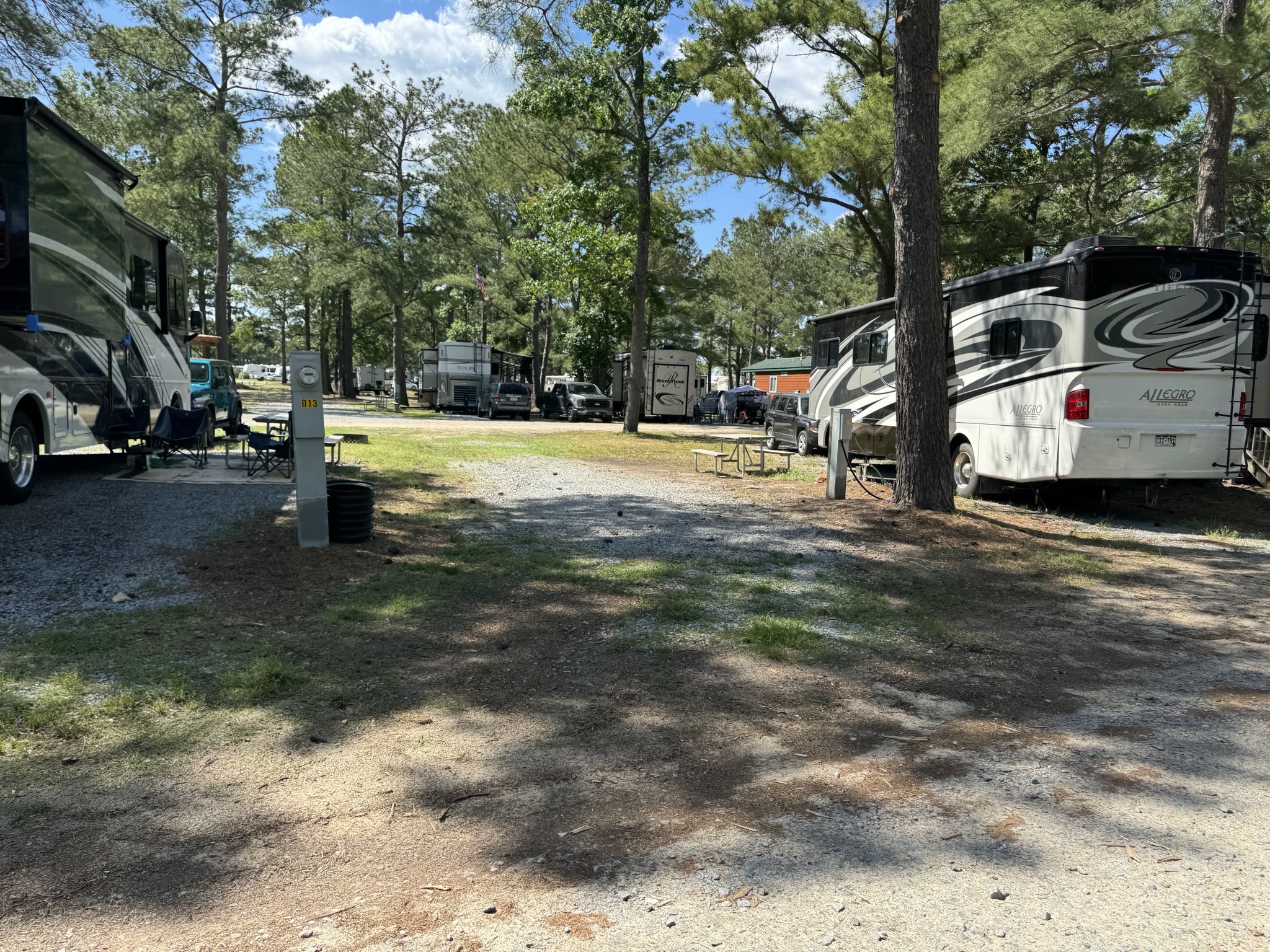
Arriving at our destination for a couple of weeks: