We drove our coach 151 miles, about three hours of driving, from Georgetown, Delaware to Manassas, Virginia, to do annual servicing and repairs at NIRVC DC.
Here’s a map showing our route, heading west:
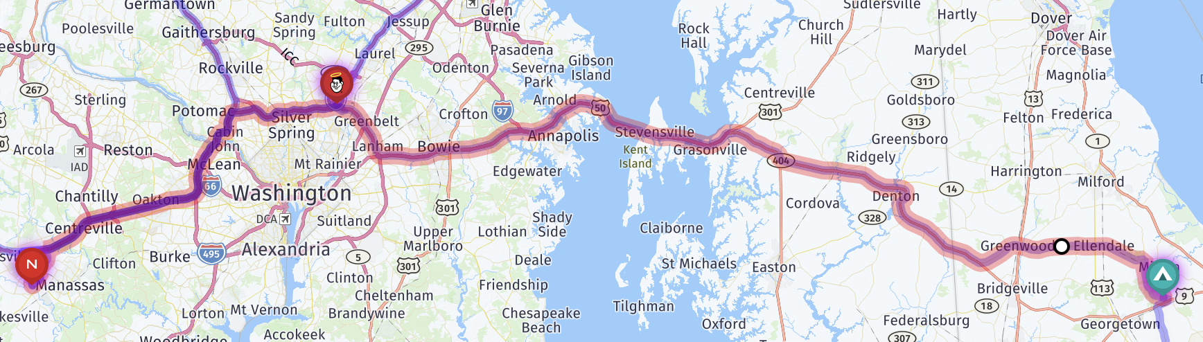
An interactive map:
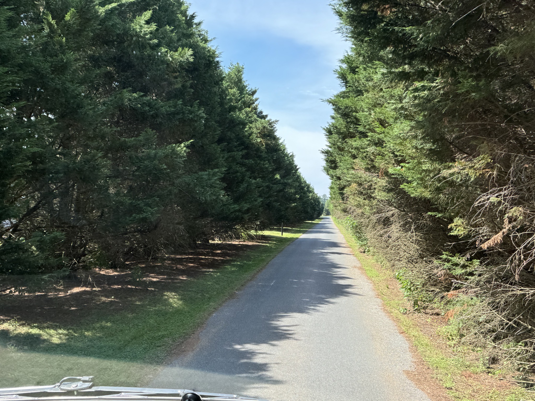
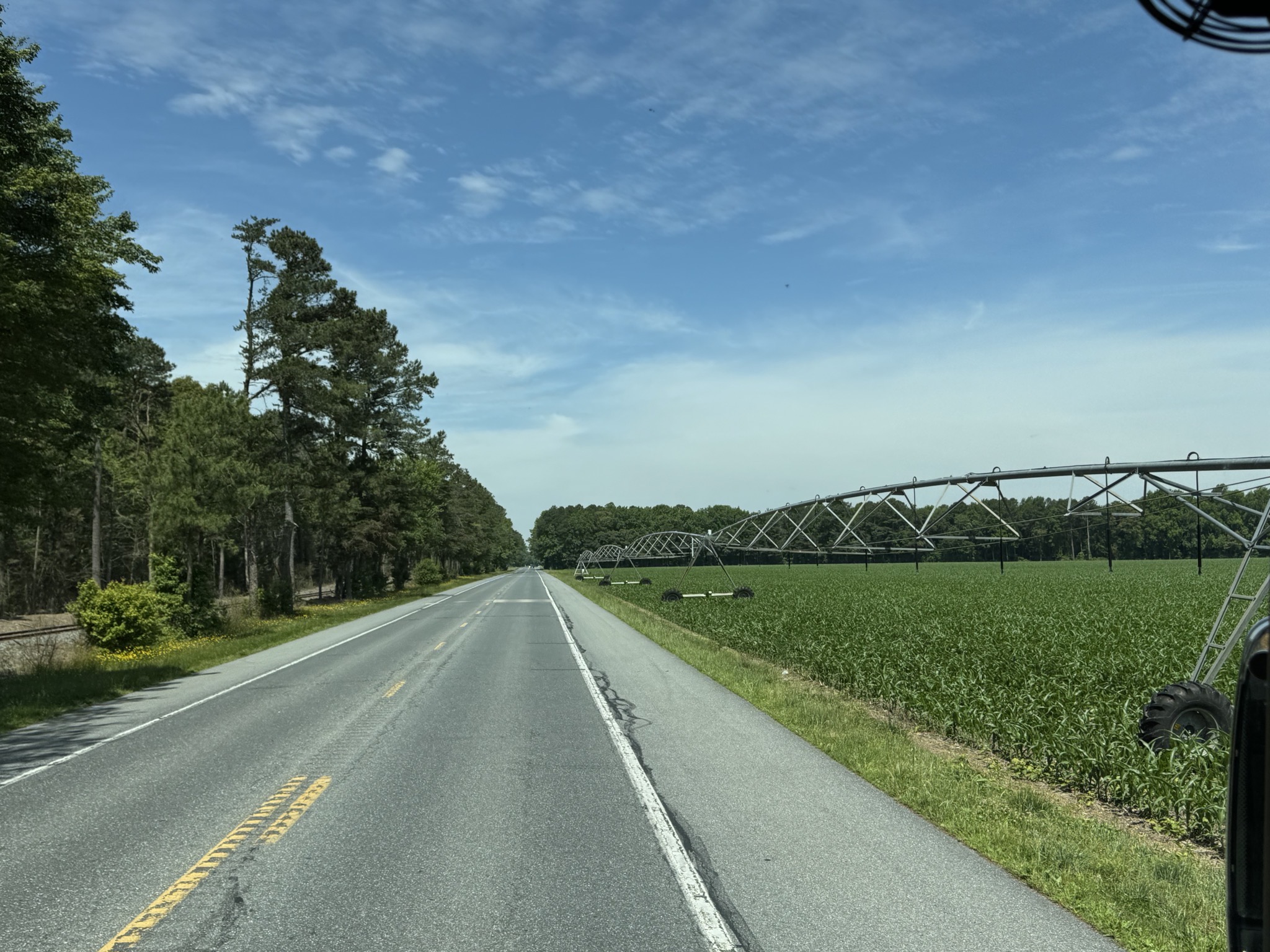
Exit road from the campground:
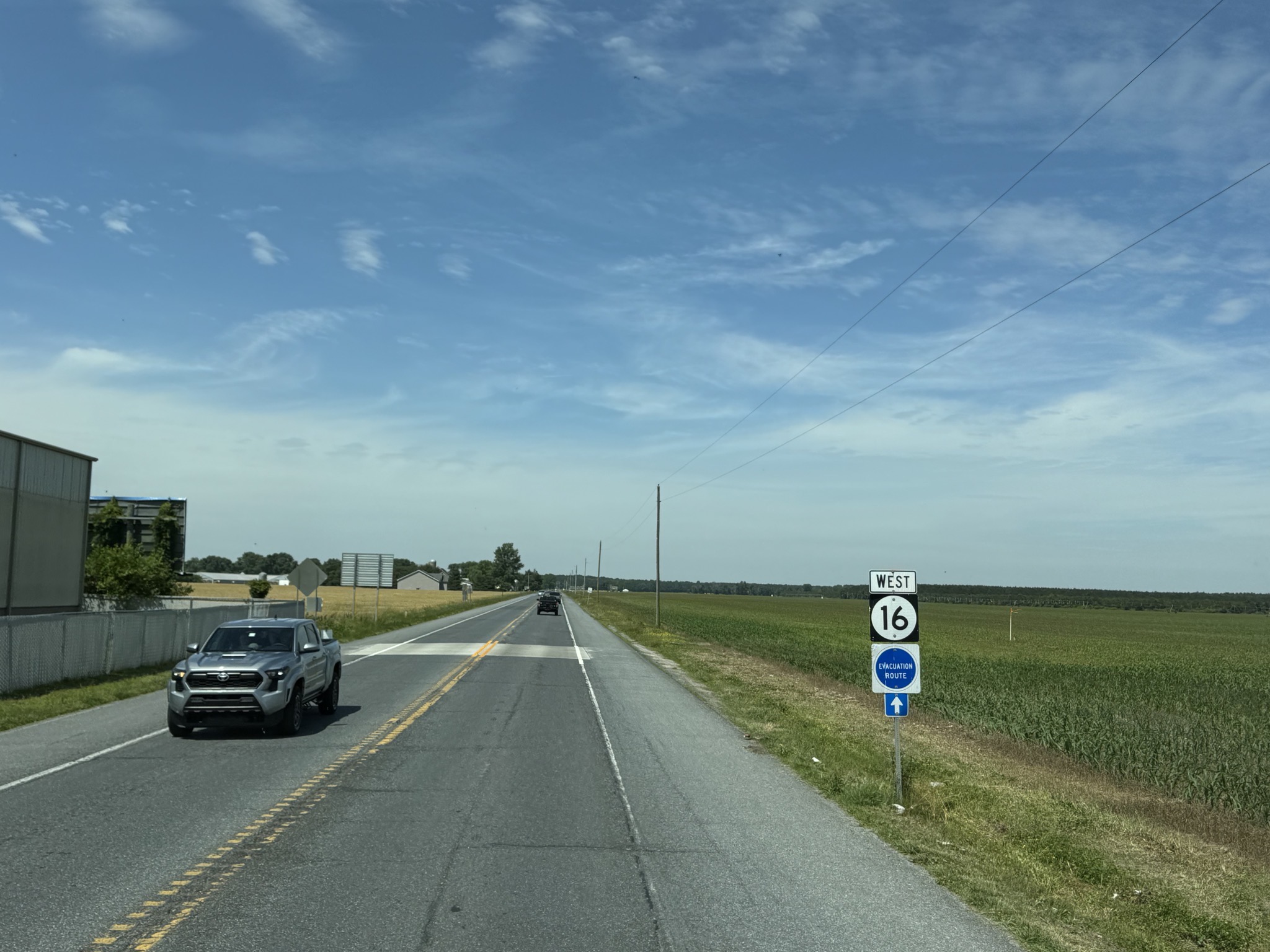
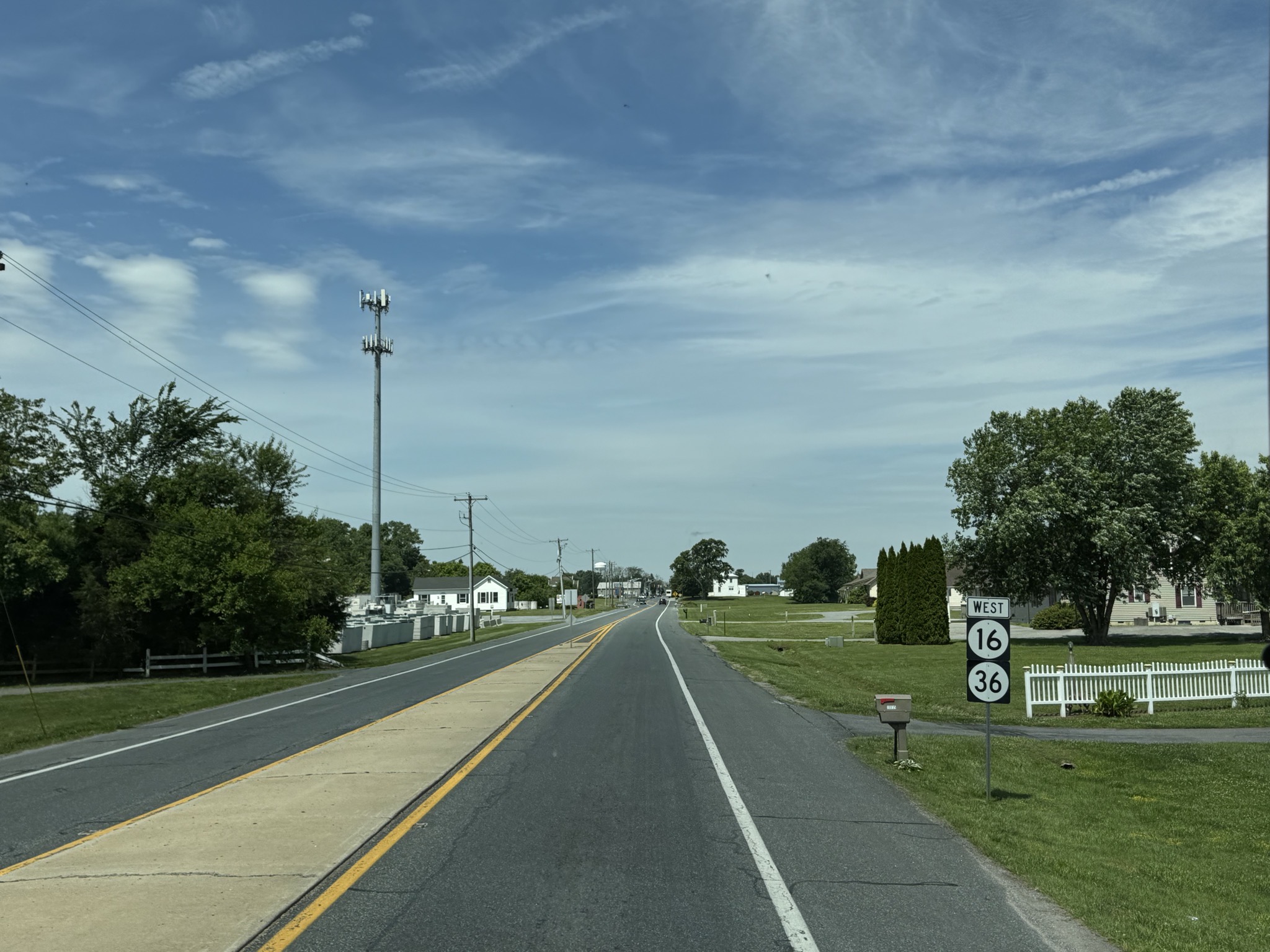
Route 16 West:
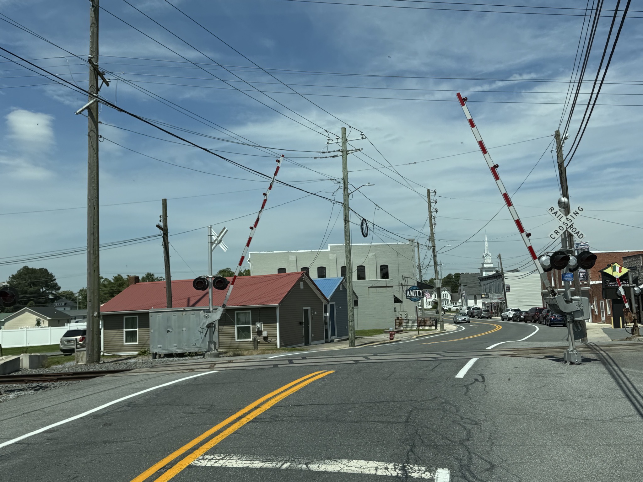
Rail crossing:
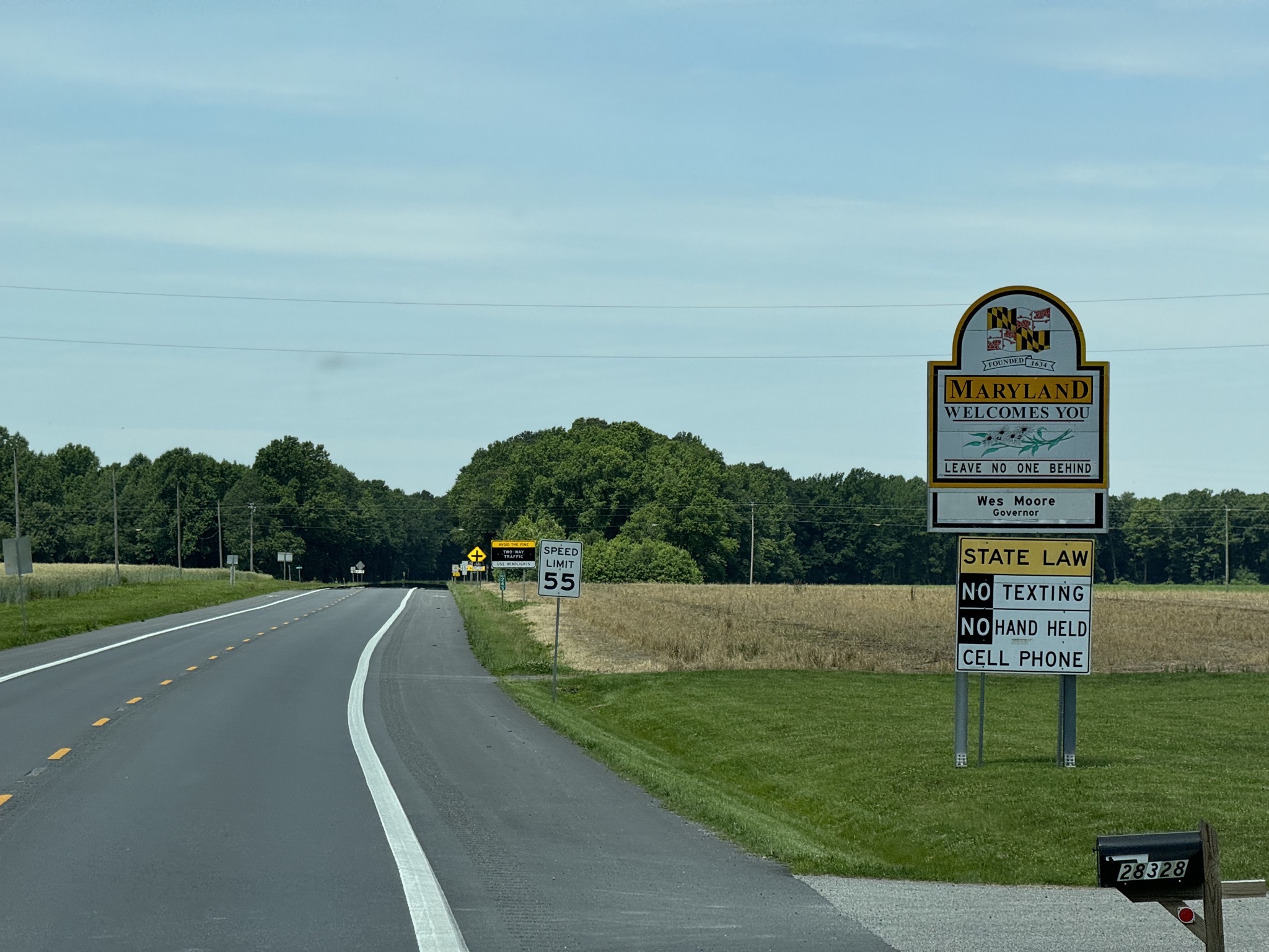
Maryland Welcomes You:
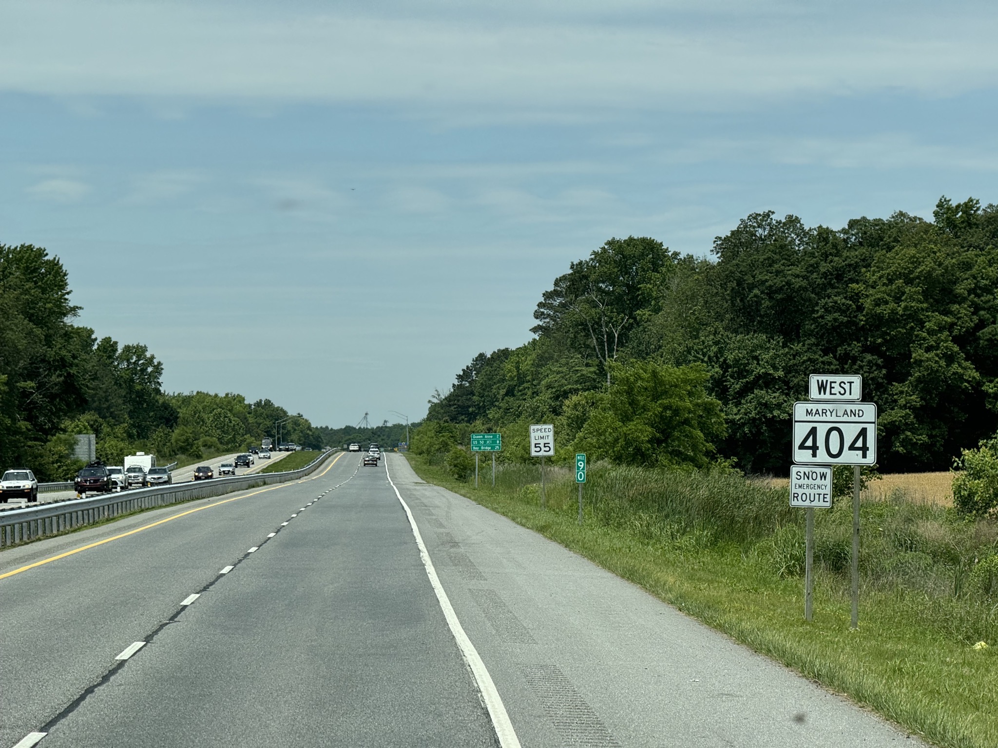
Route 404, oh no, route not found! (Geek joke.) Also, “snow emergency route” was a new one to us:
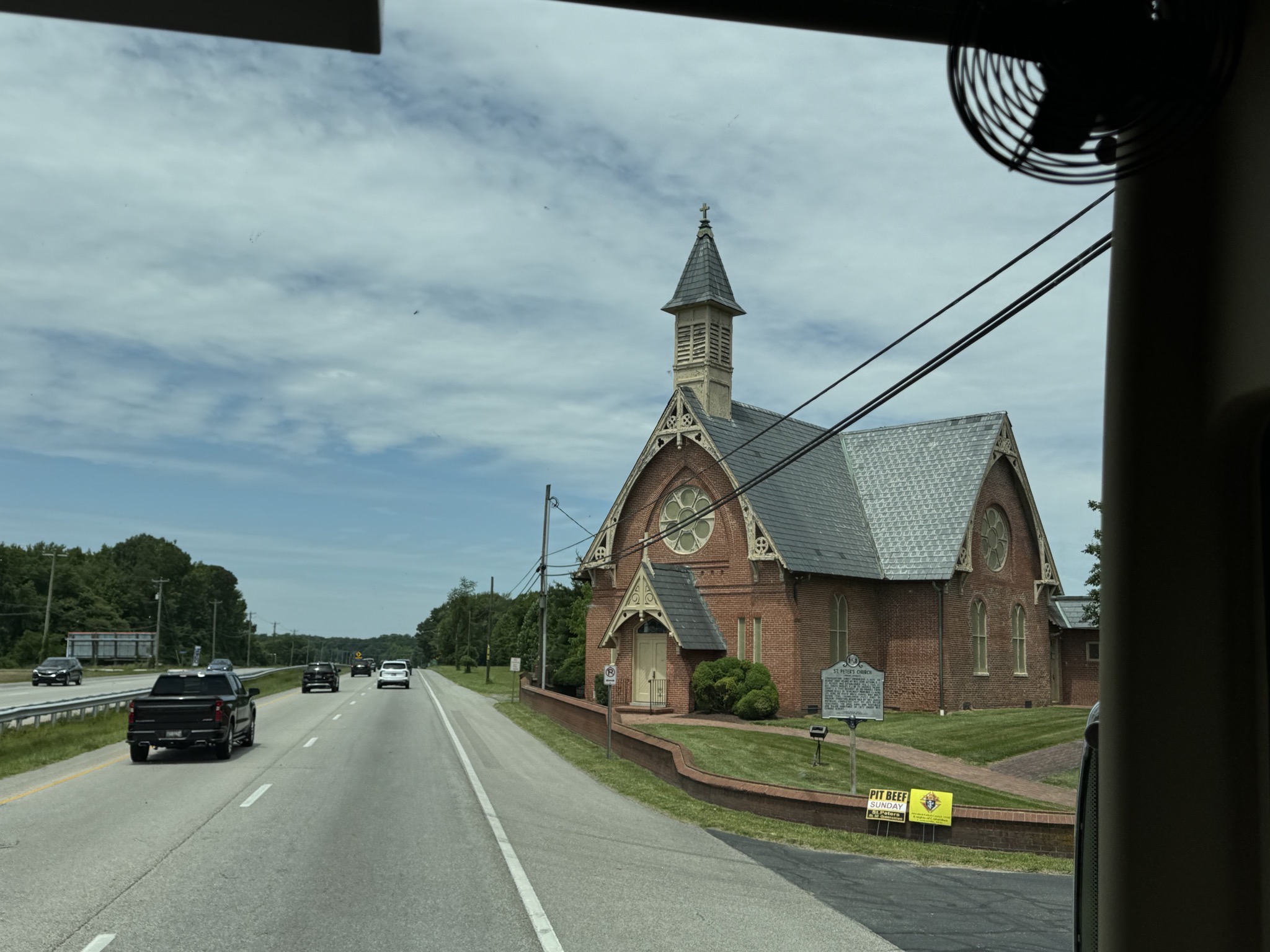
Nice church:
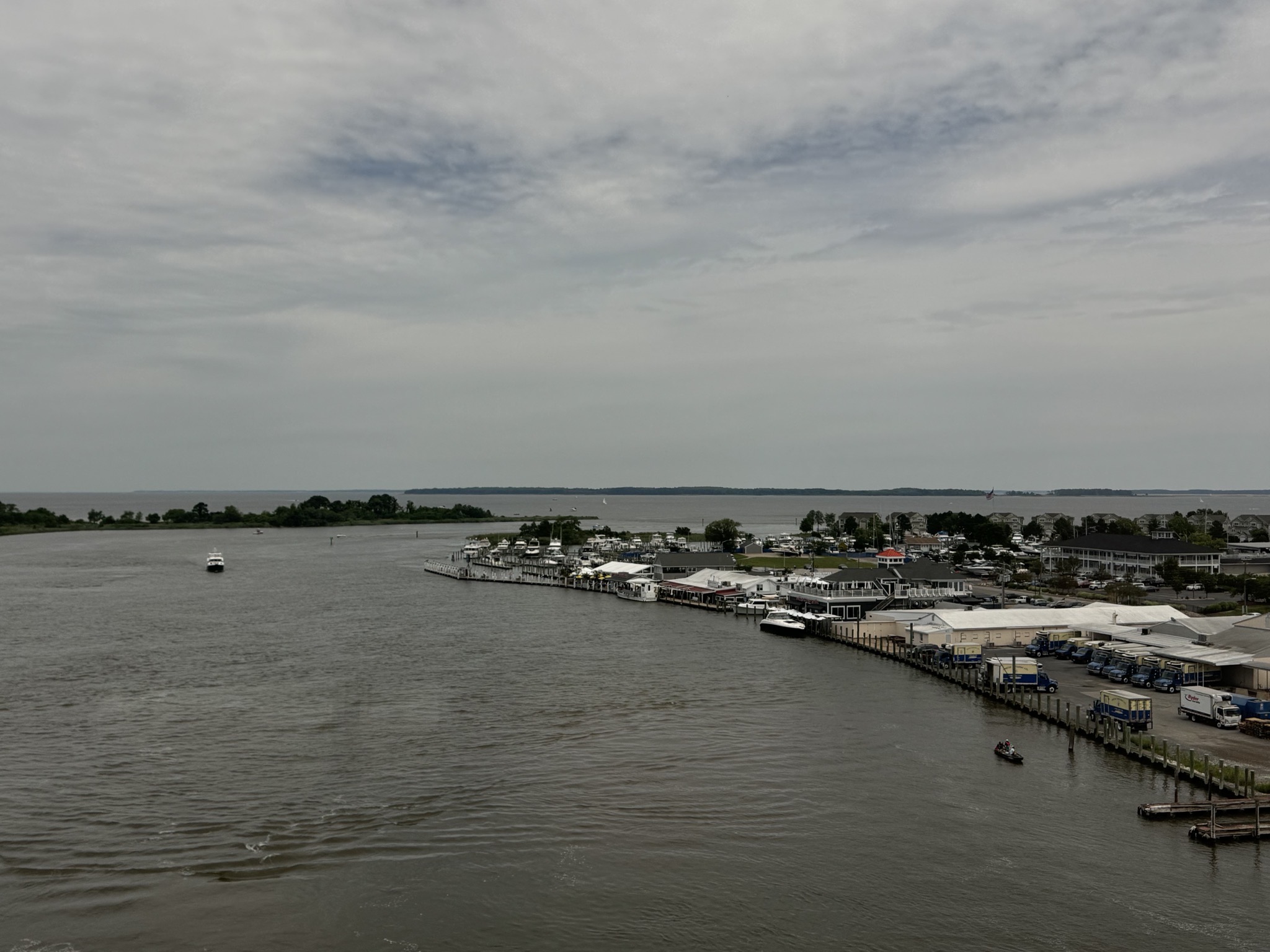
Kent Island Narrows:
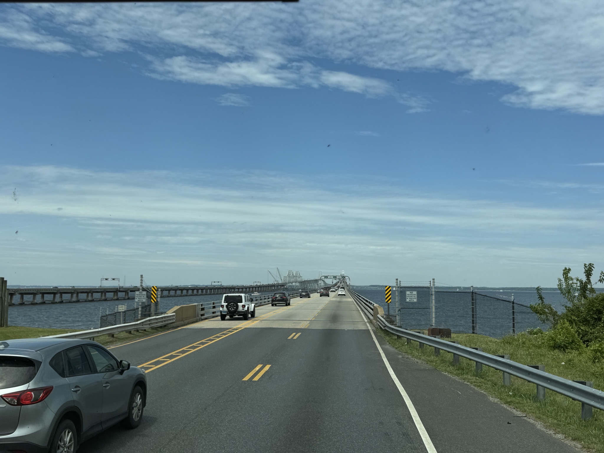
Bridge over Chesapeake Bay; not a lot of shoulder:
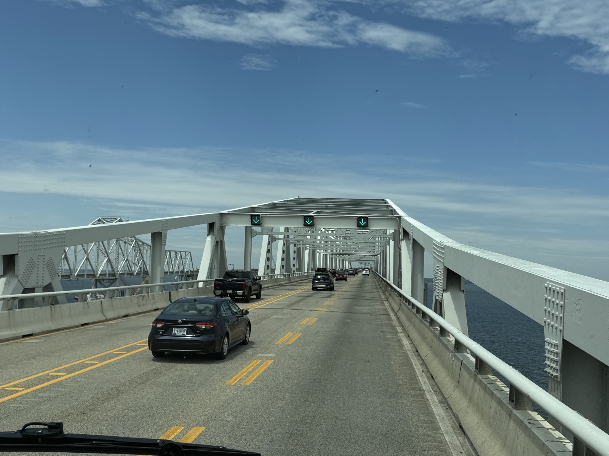
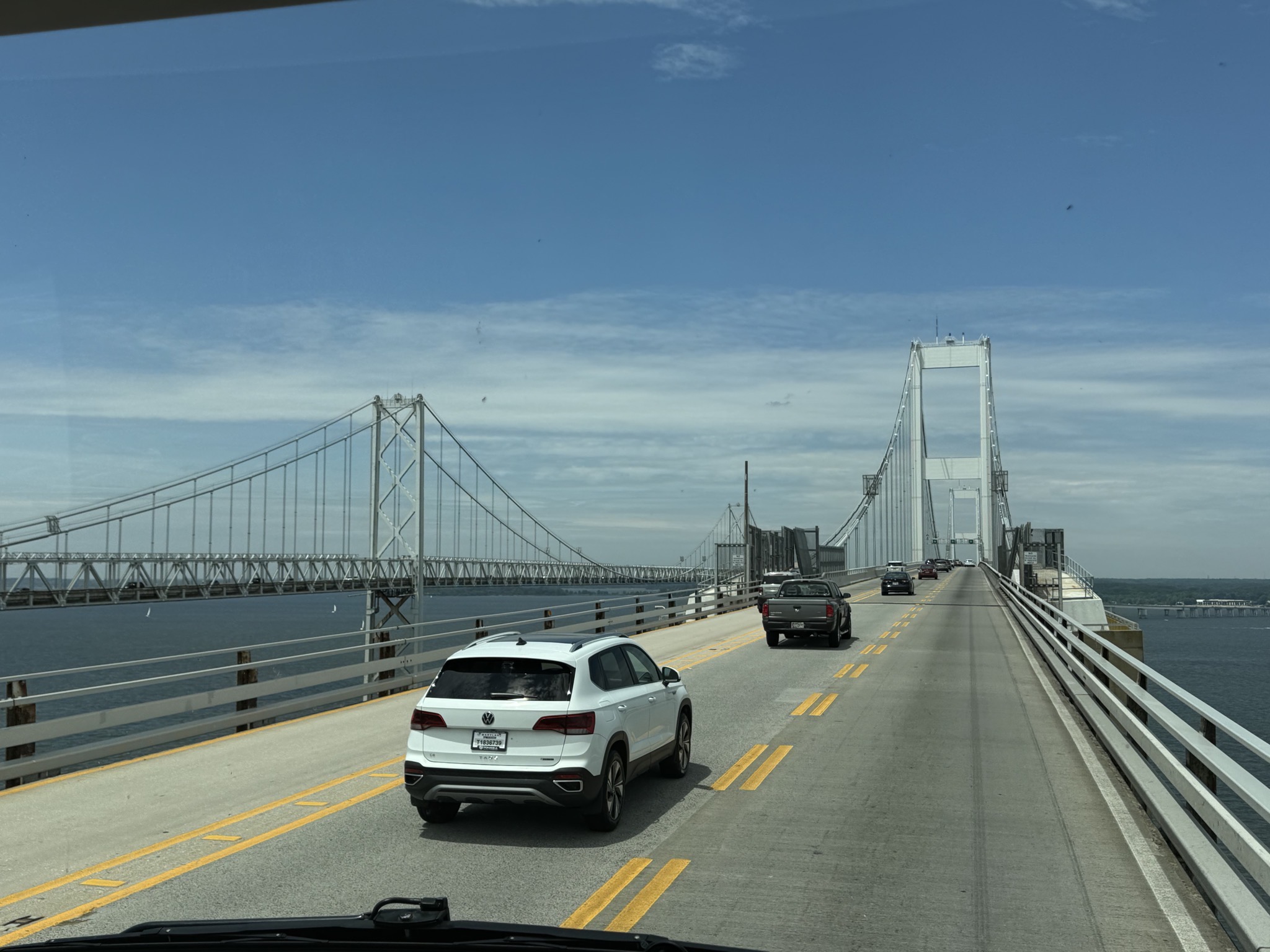
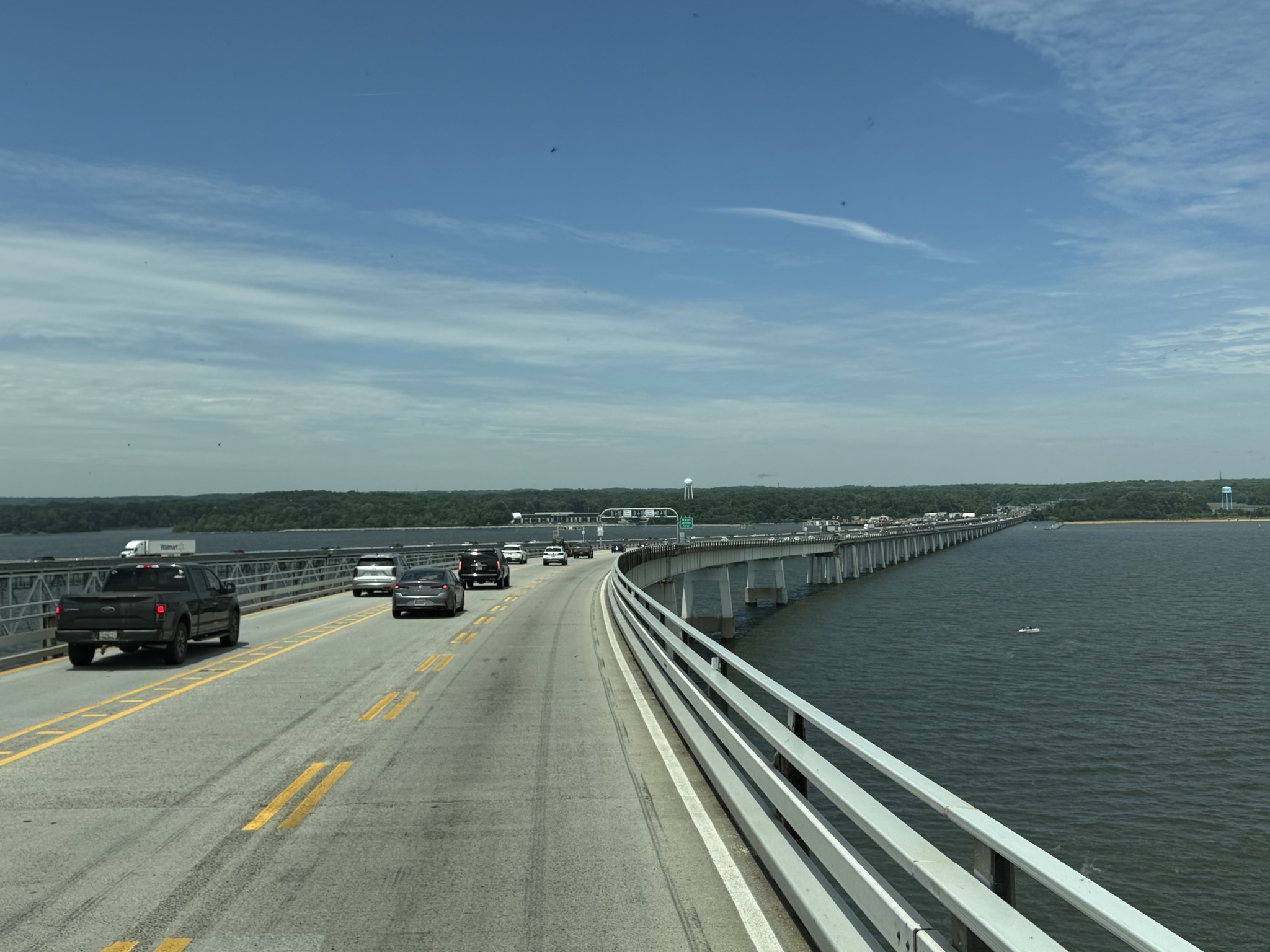
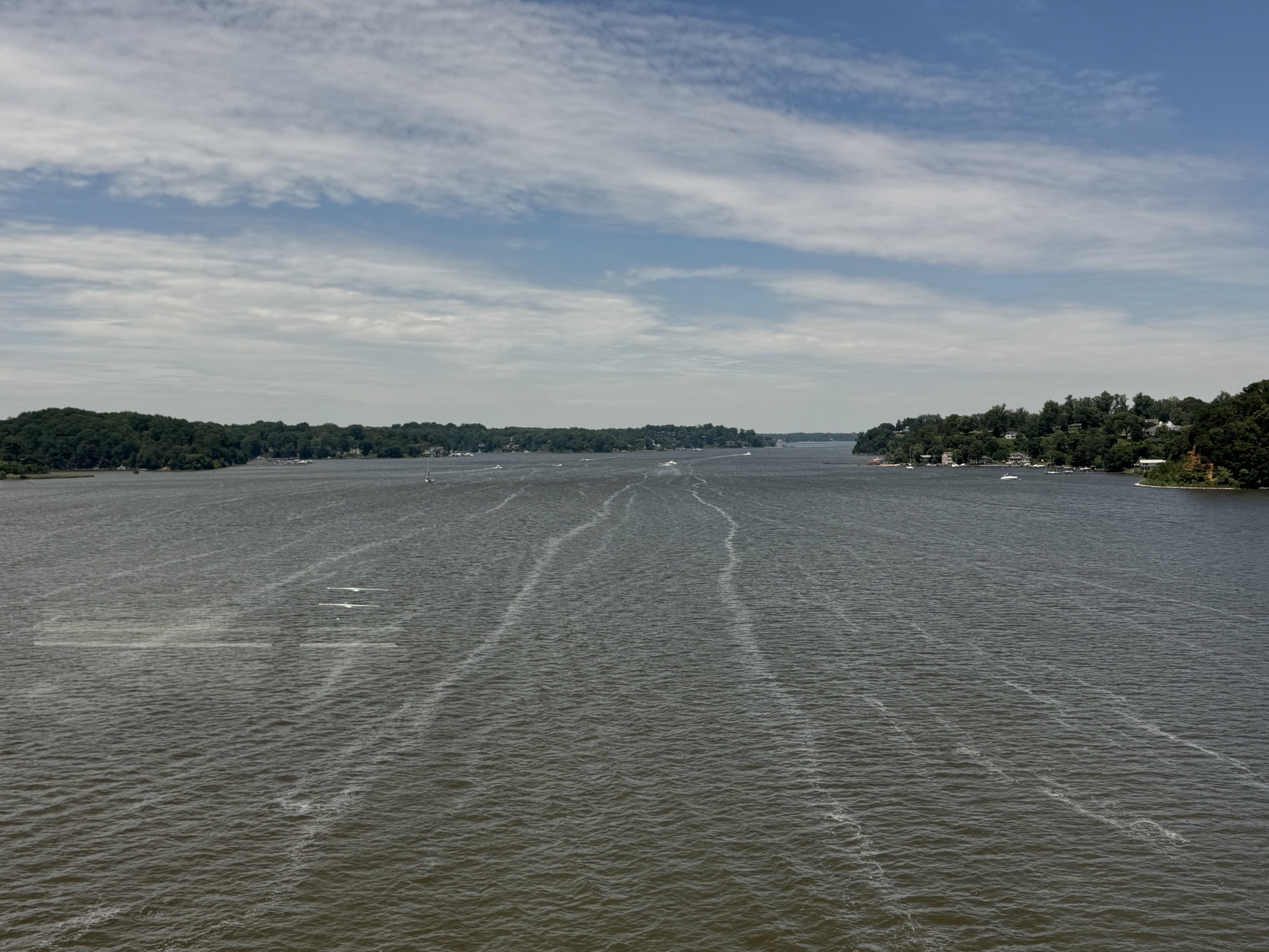
Severn River:
Exit towards Baltimore:
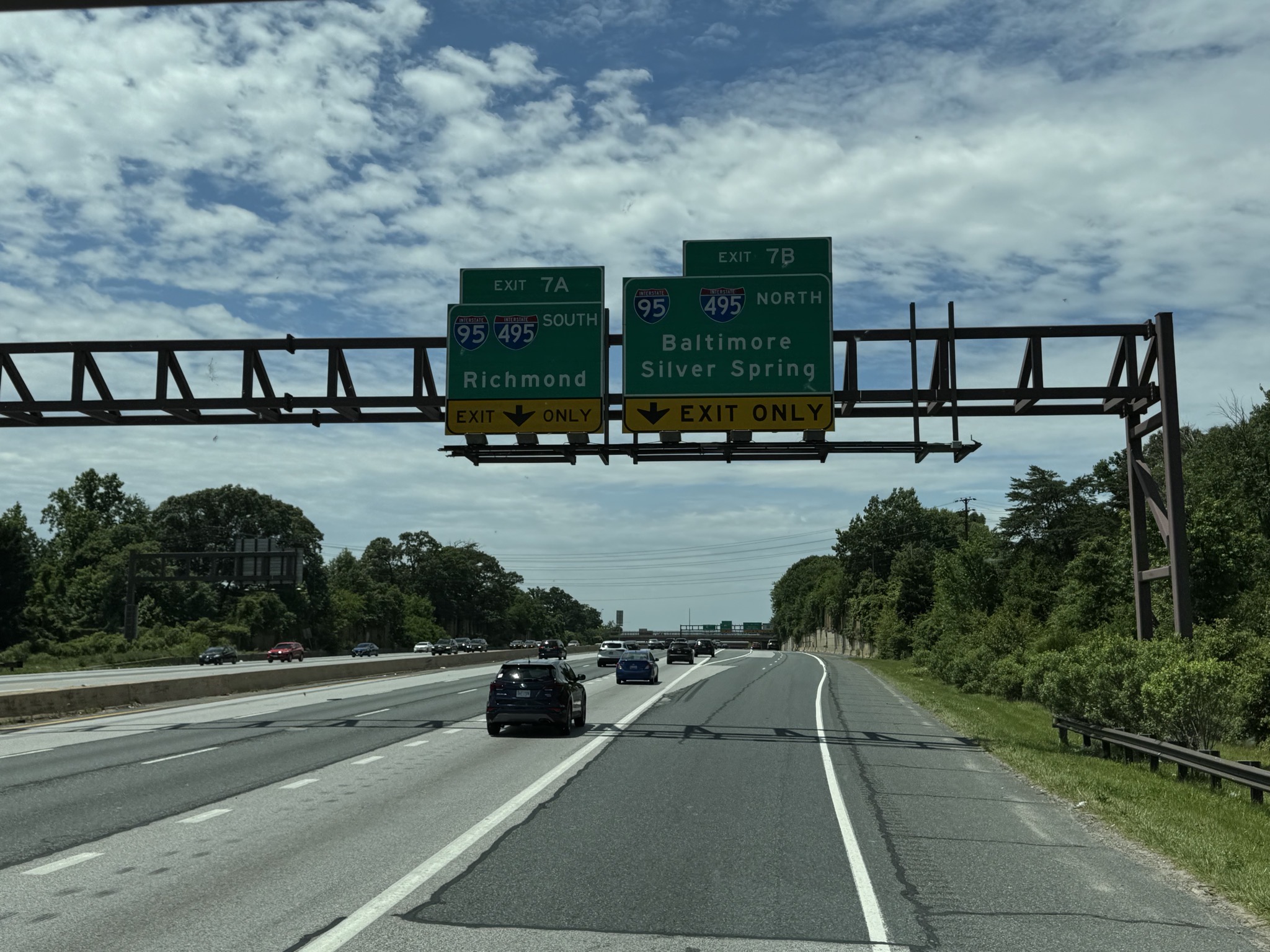
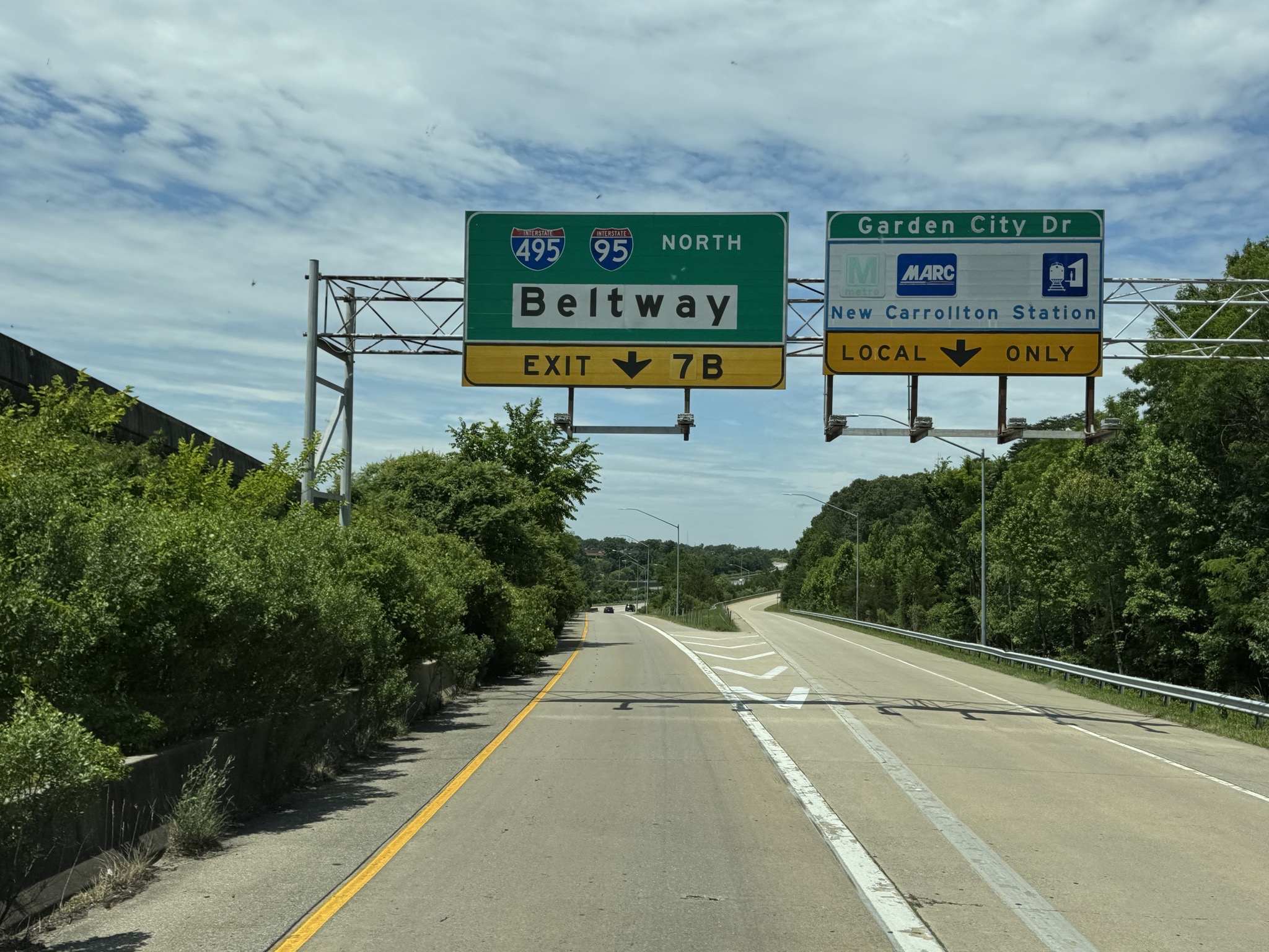
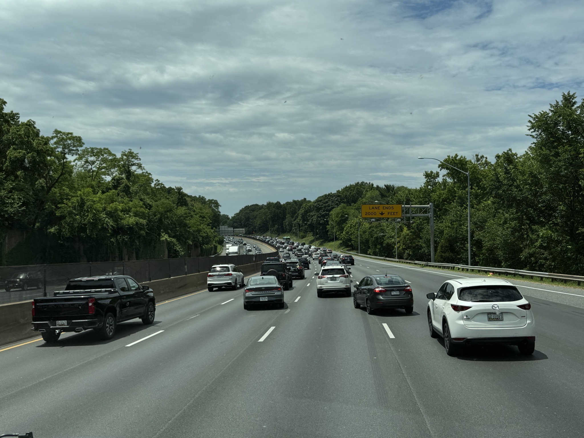
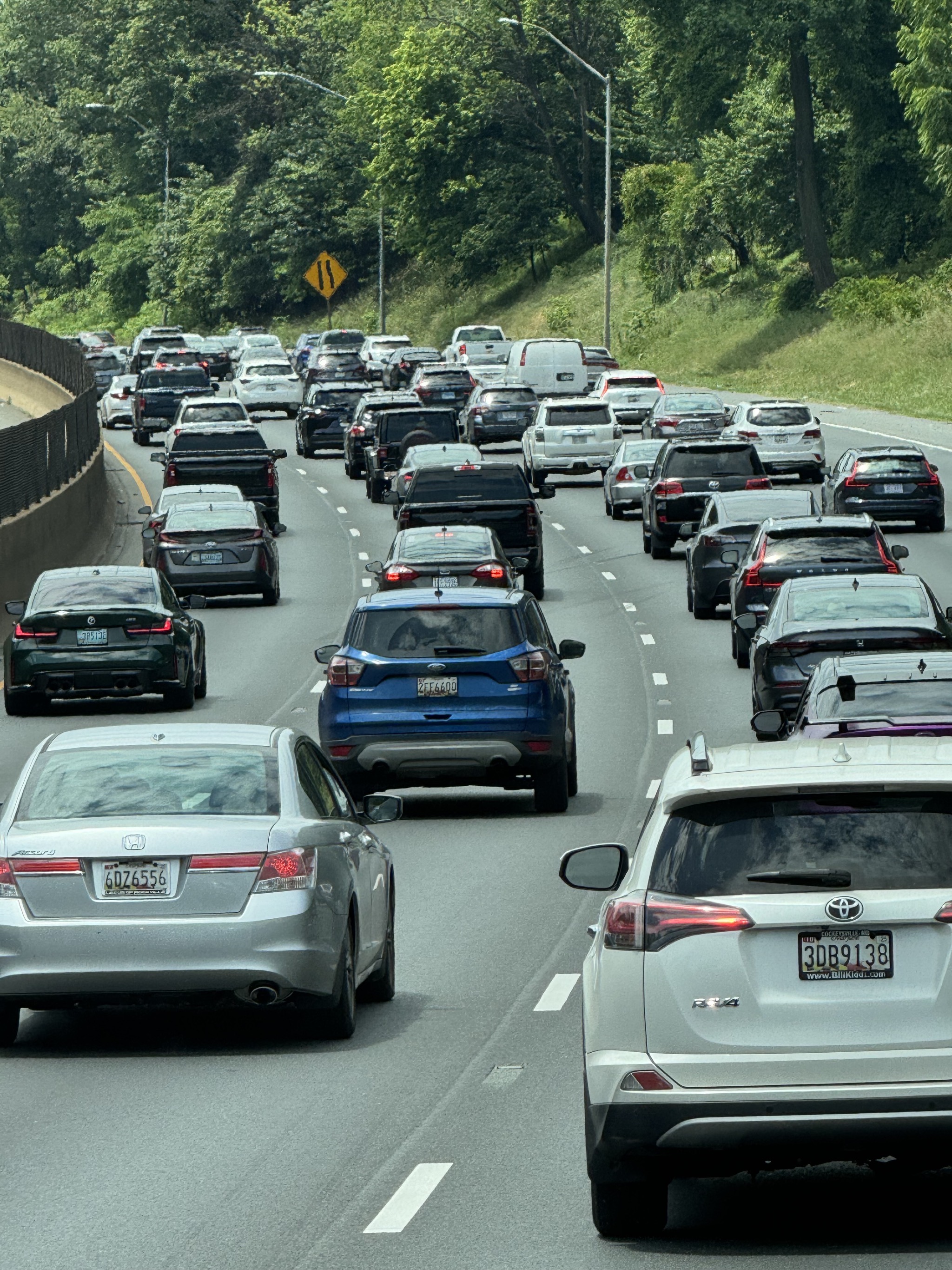
Beltway:
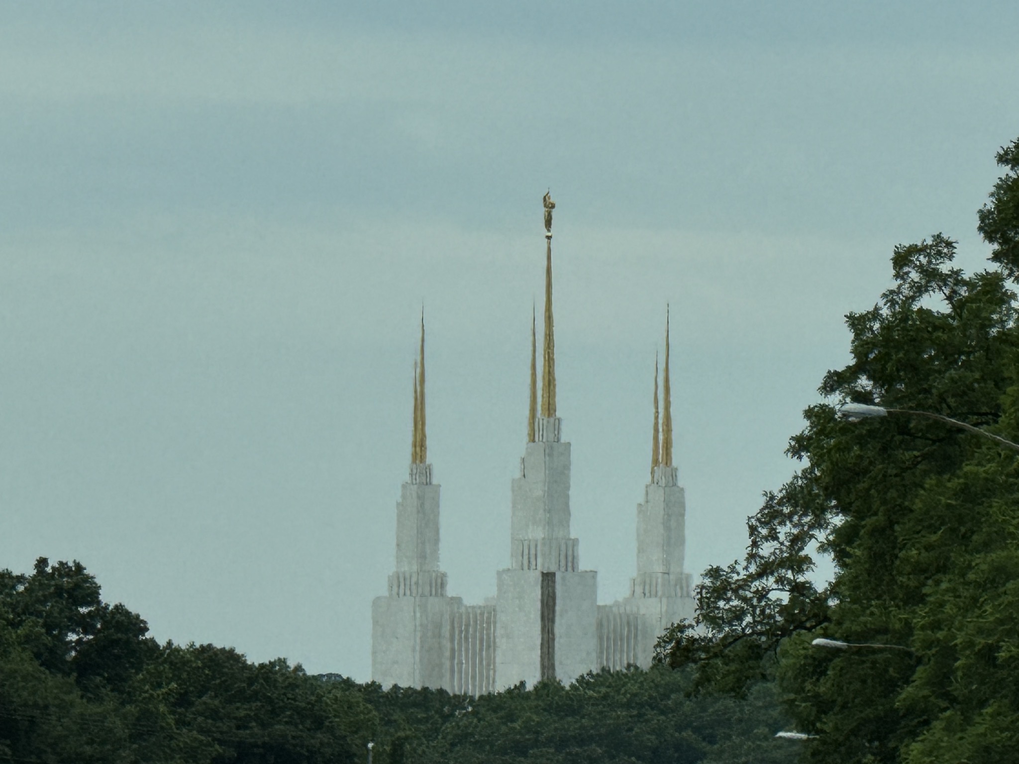
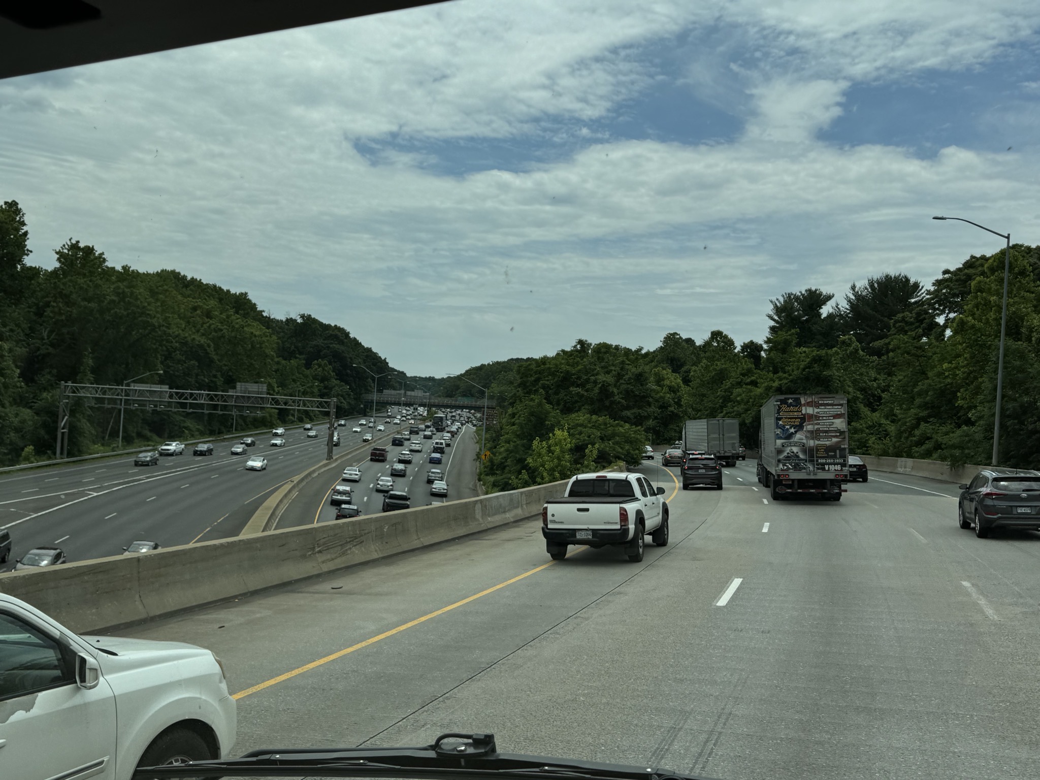
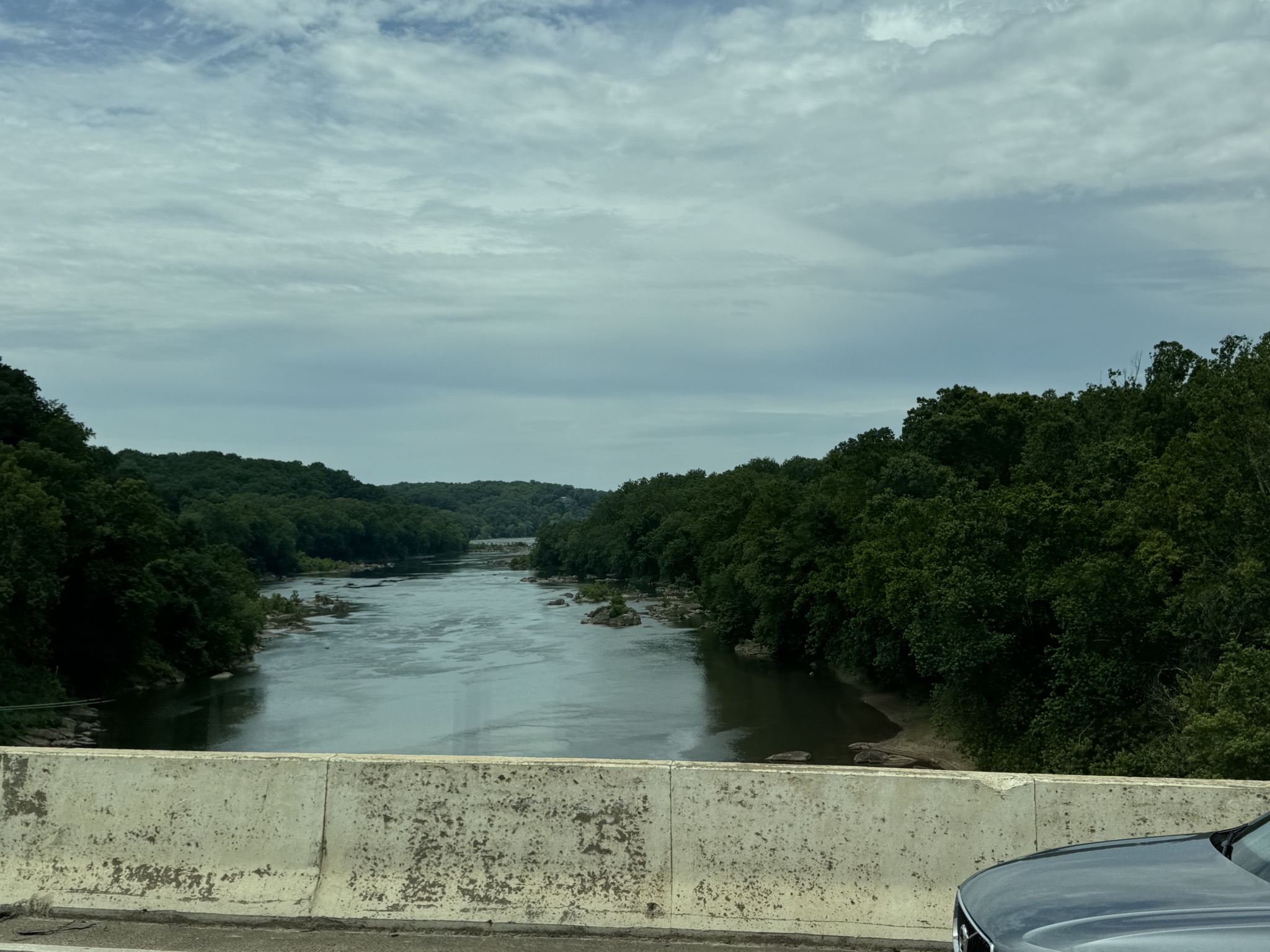
Potomac River:
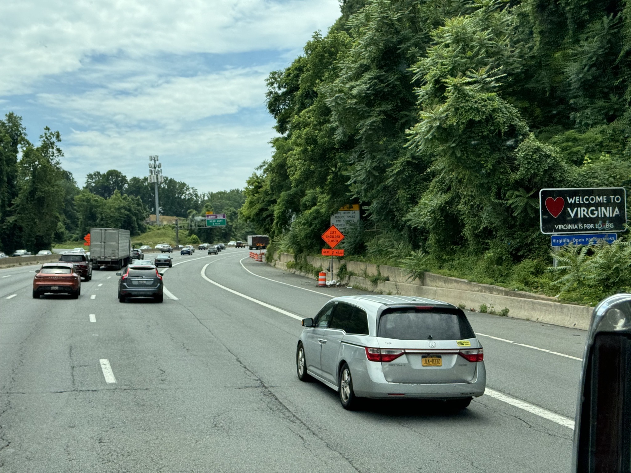
Welcome to Virginia (a rather hidden sign):
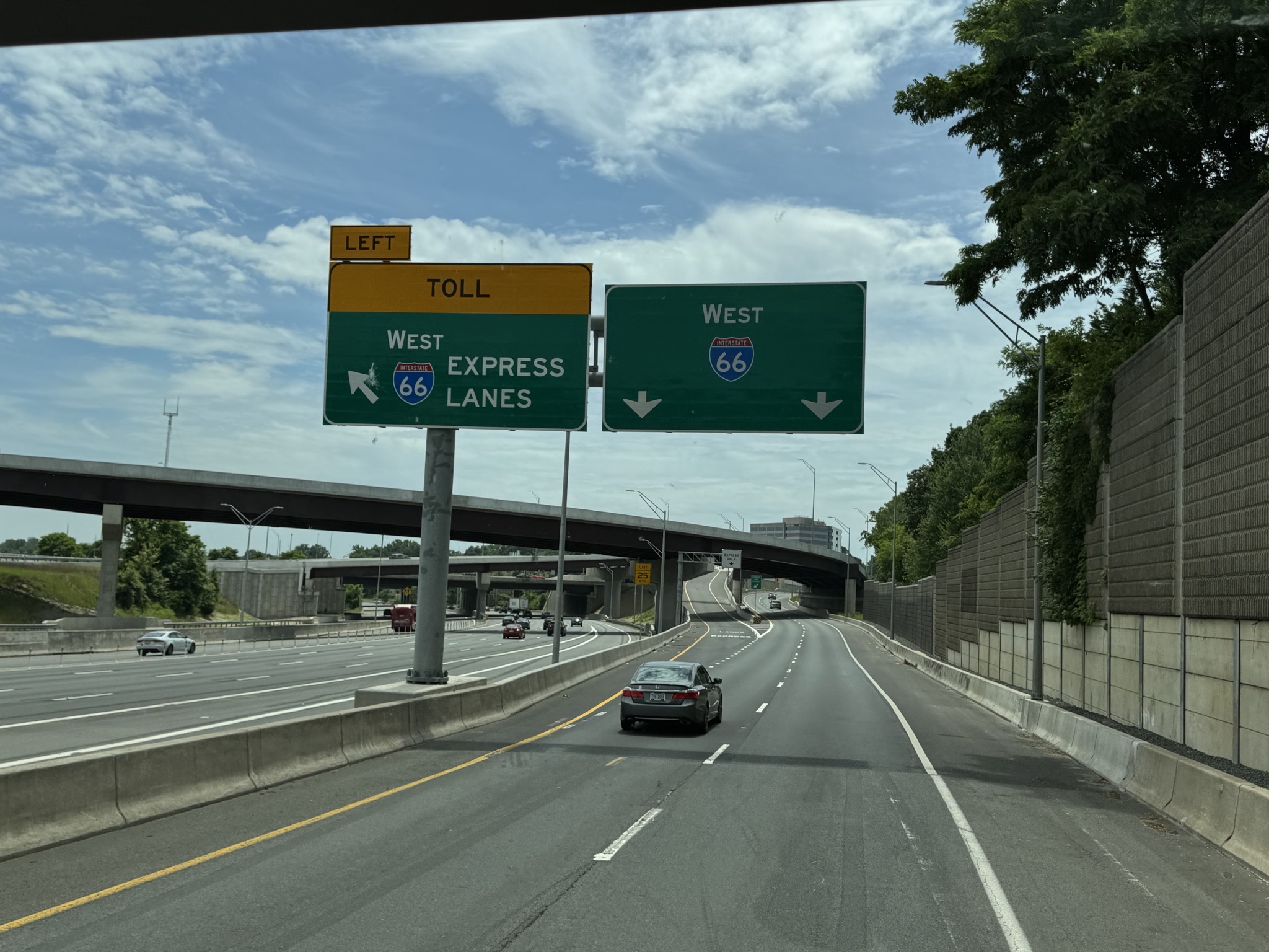
I-66 West:
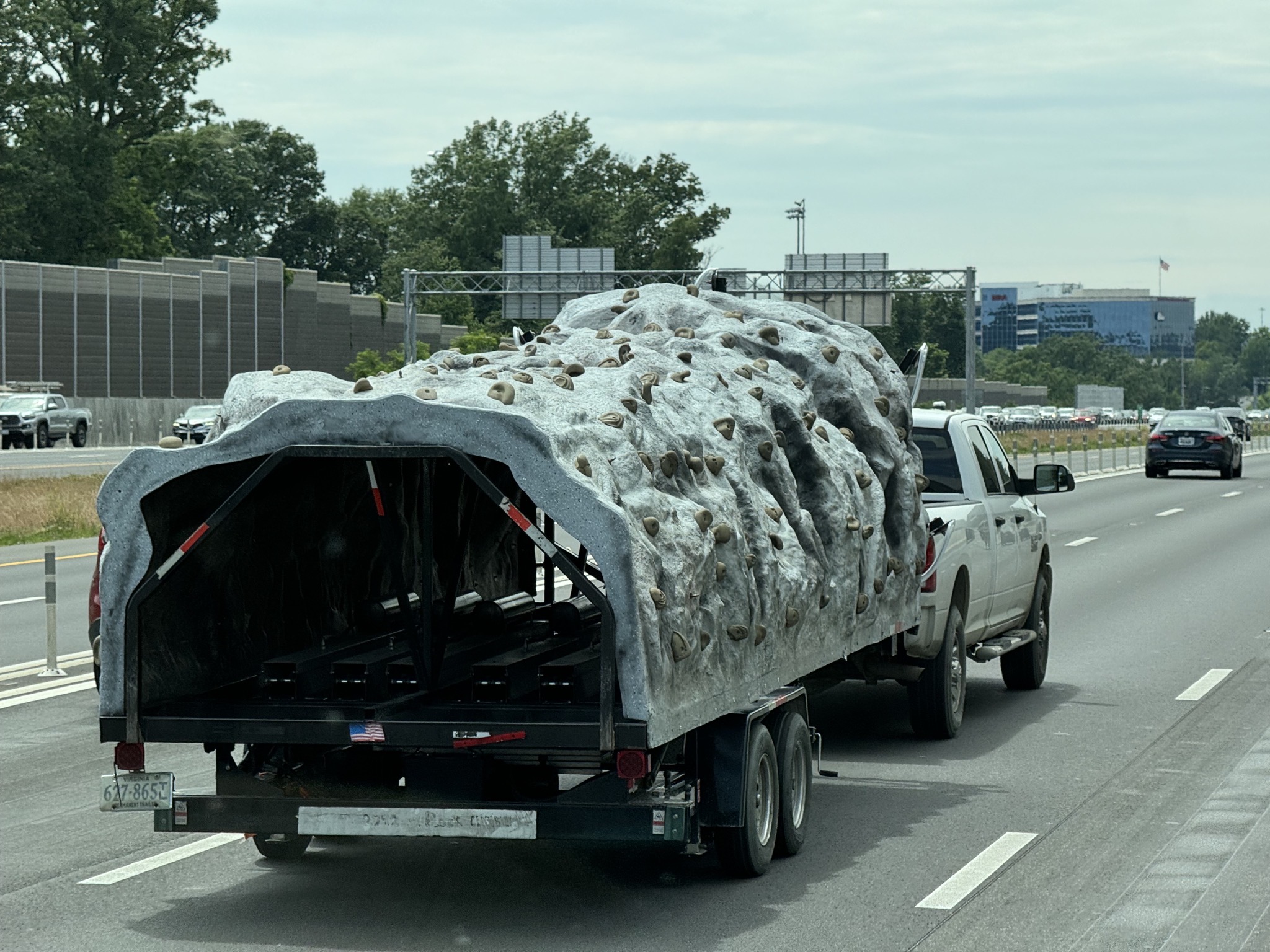
A climbing wall:
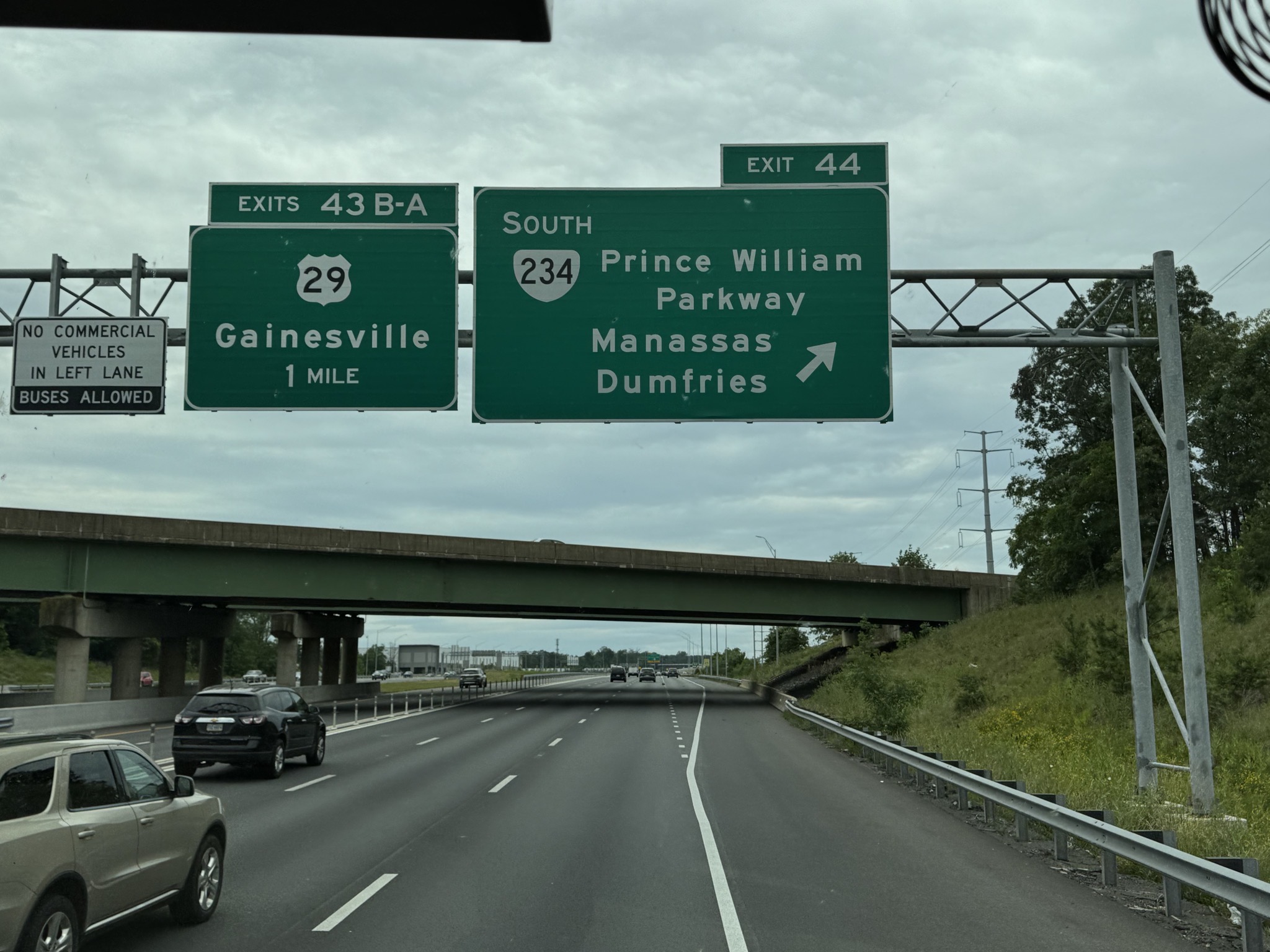
Exit to Manassas:
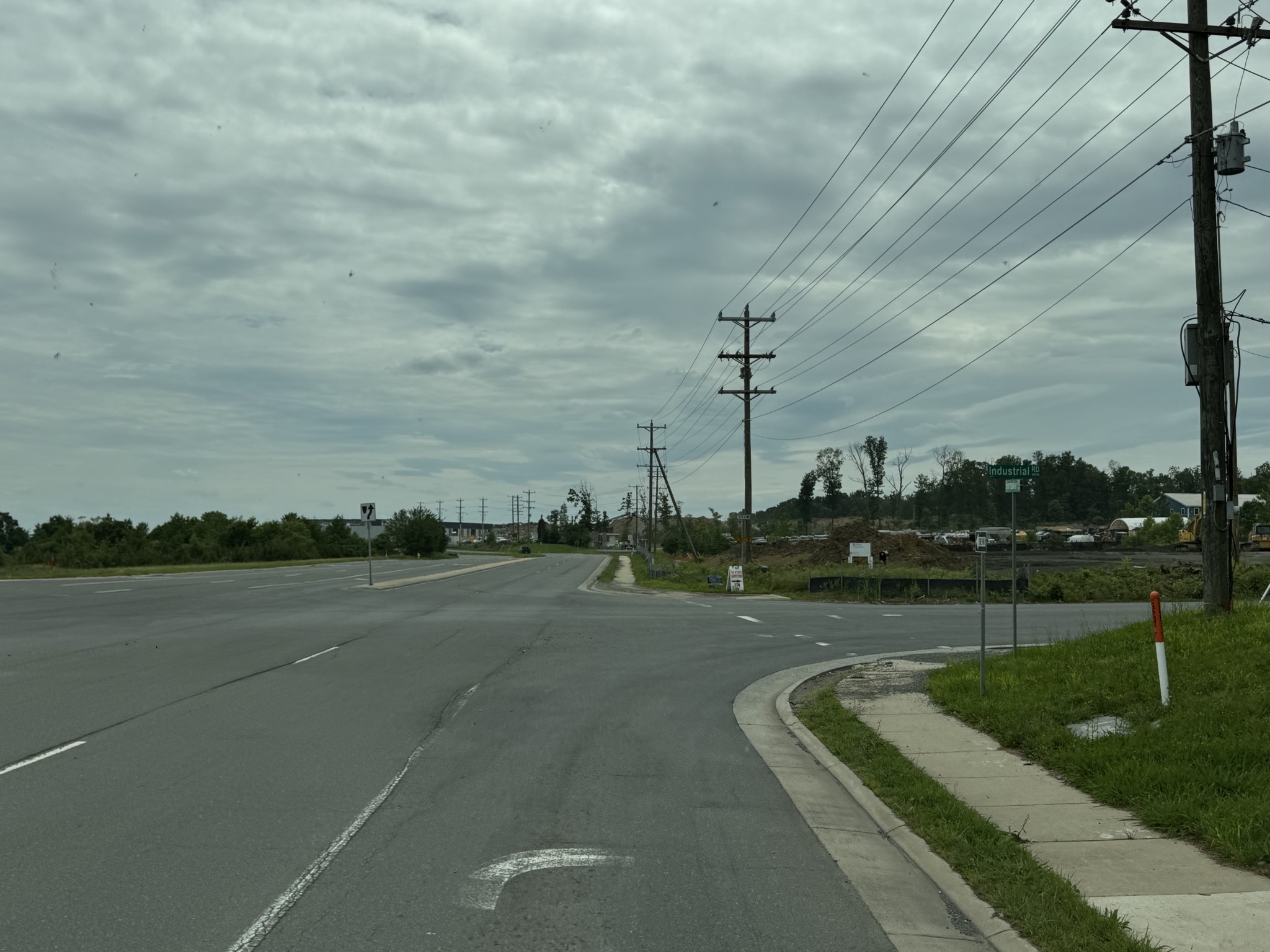
Turn onto Industrial Road:
Turn onto Contractors Court:
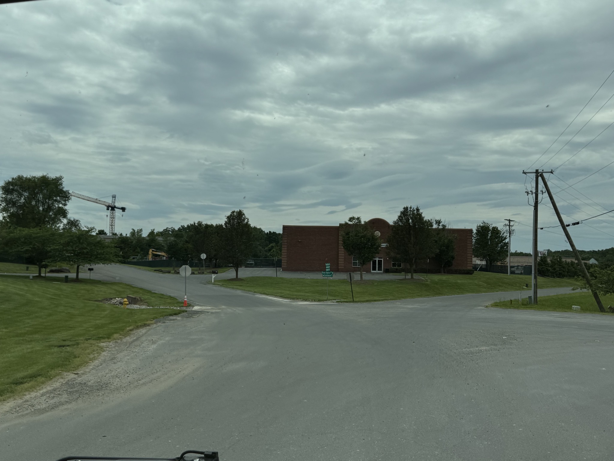
Arriving at NIRVC DC:
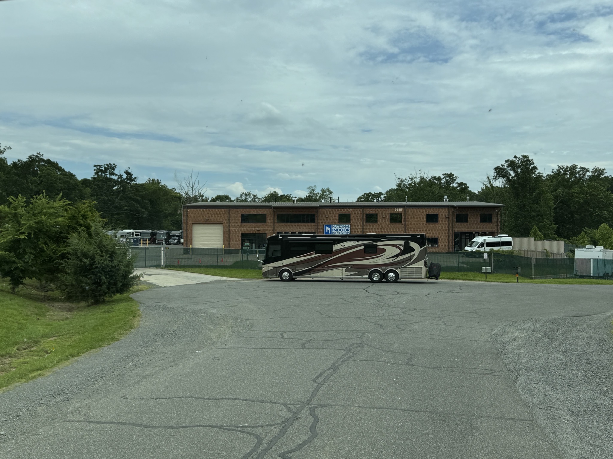
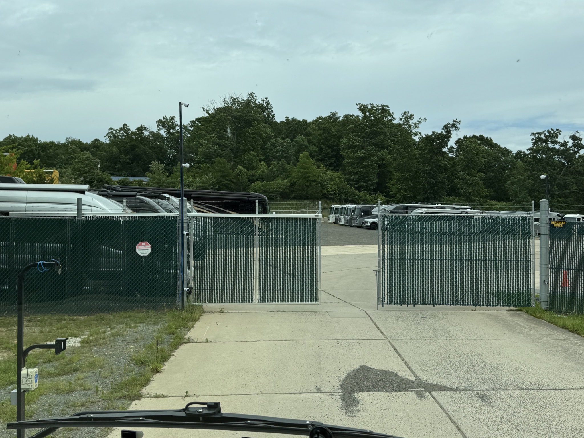
We arrived on a Sunday when they were closed, so they had provided us with a link to open the gate, so we could get in and camp for the night:
Our coach, with the workshops behind:
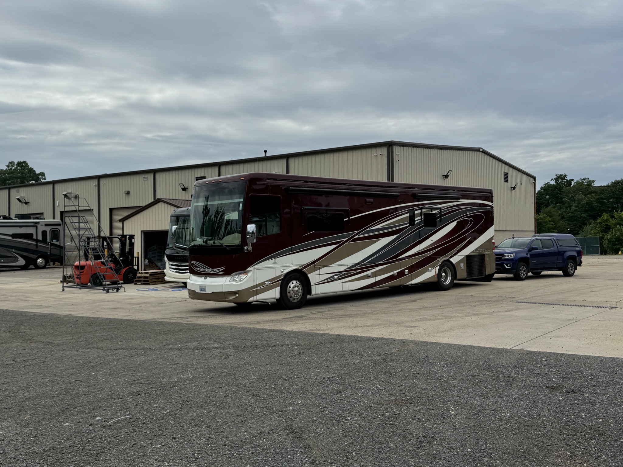
I looked for a spot to park for the night; this was easy, though not very flat:
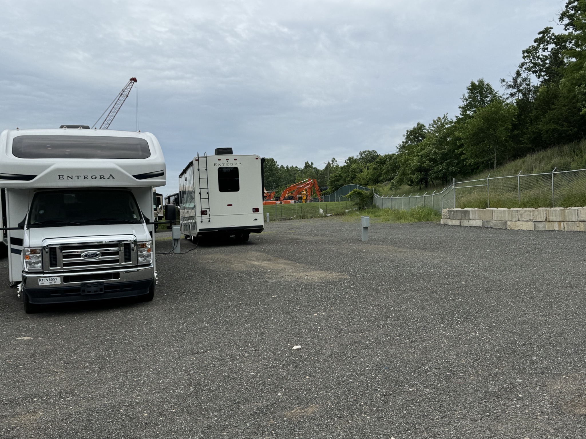
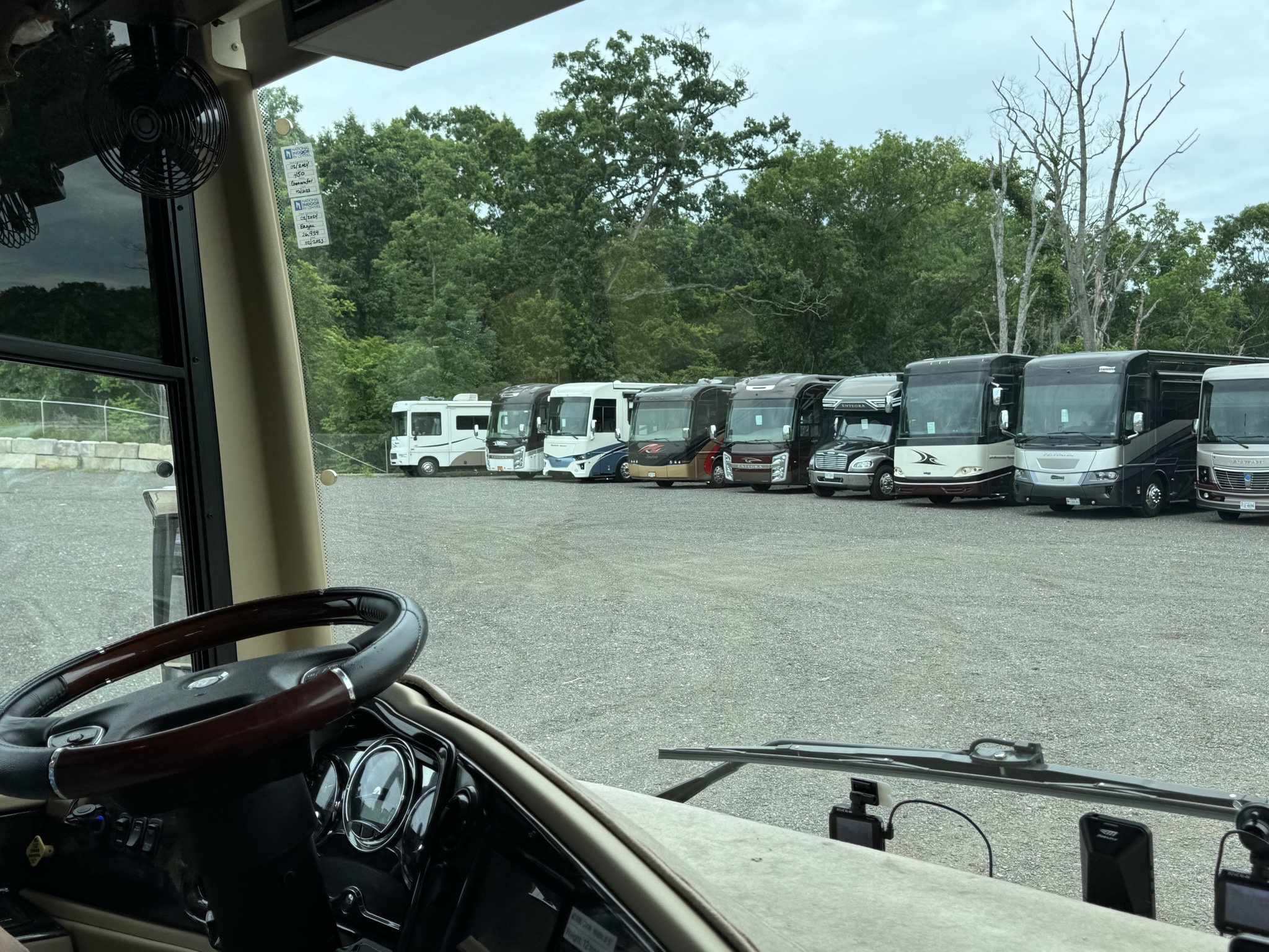
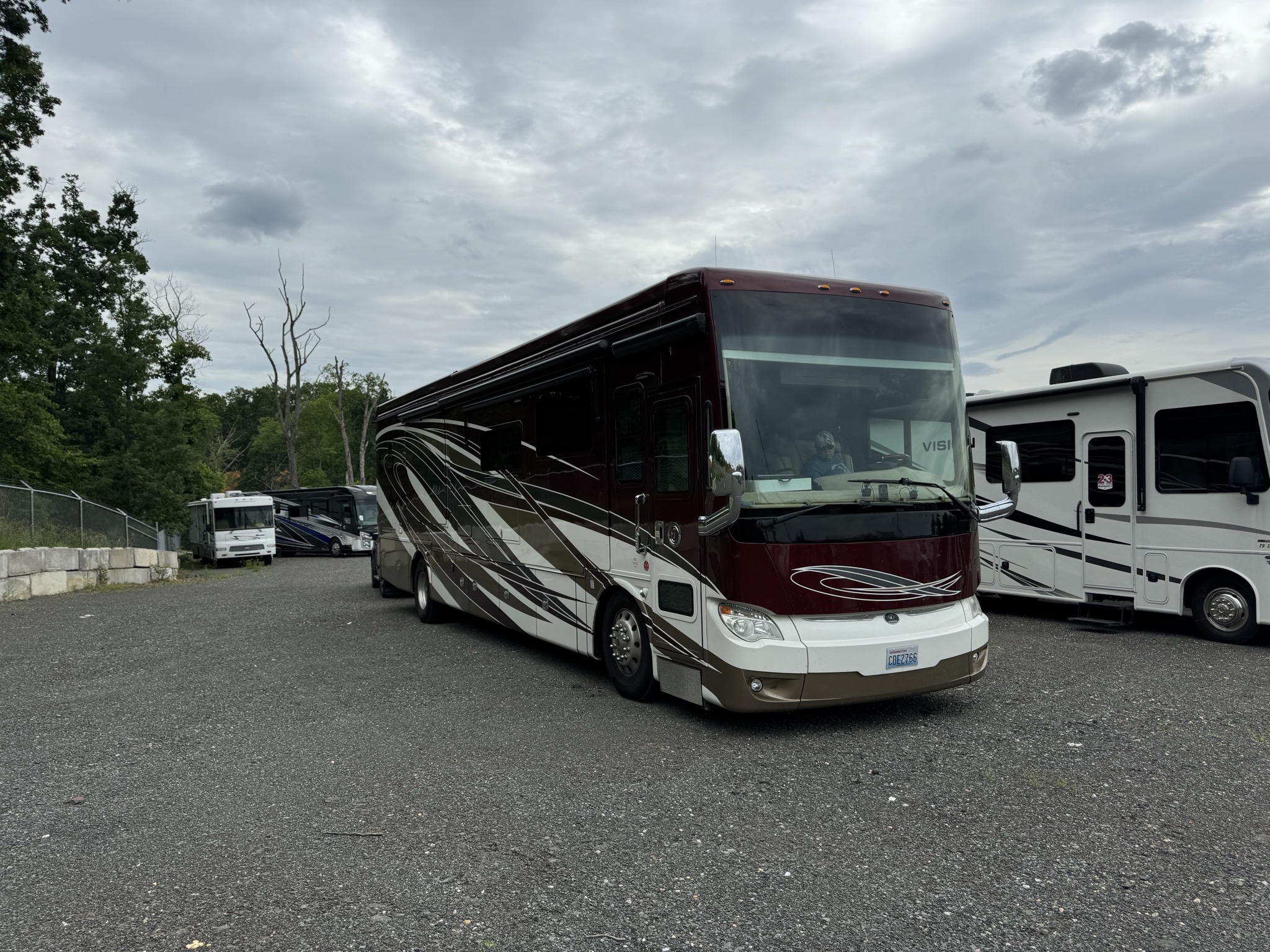
In the future, we’d just park on the concrete next to the building; there are electrical outlets there too. Now we know. We plan to be back again next year for our annual servicing.