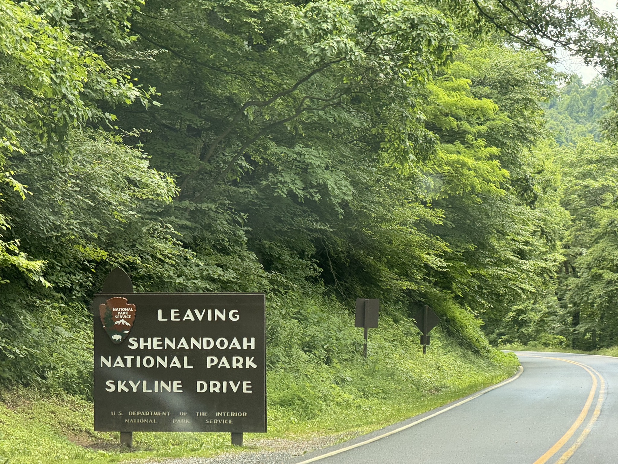
Shenandoah National Park

· exploring · map · national park · park · Shenandoah NP

We visited Shenandoah National Park in Virginia, a drive-through park southeast of Washington DC.

NPS map; click or tap to interact on their site:
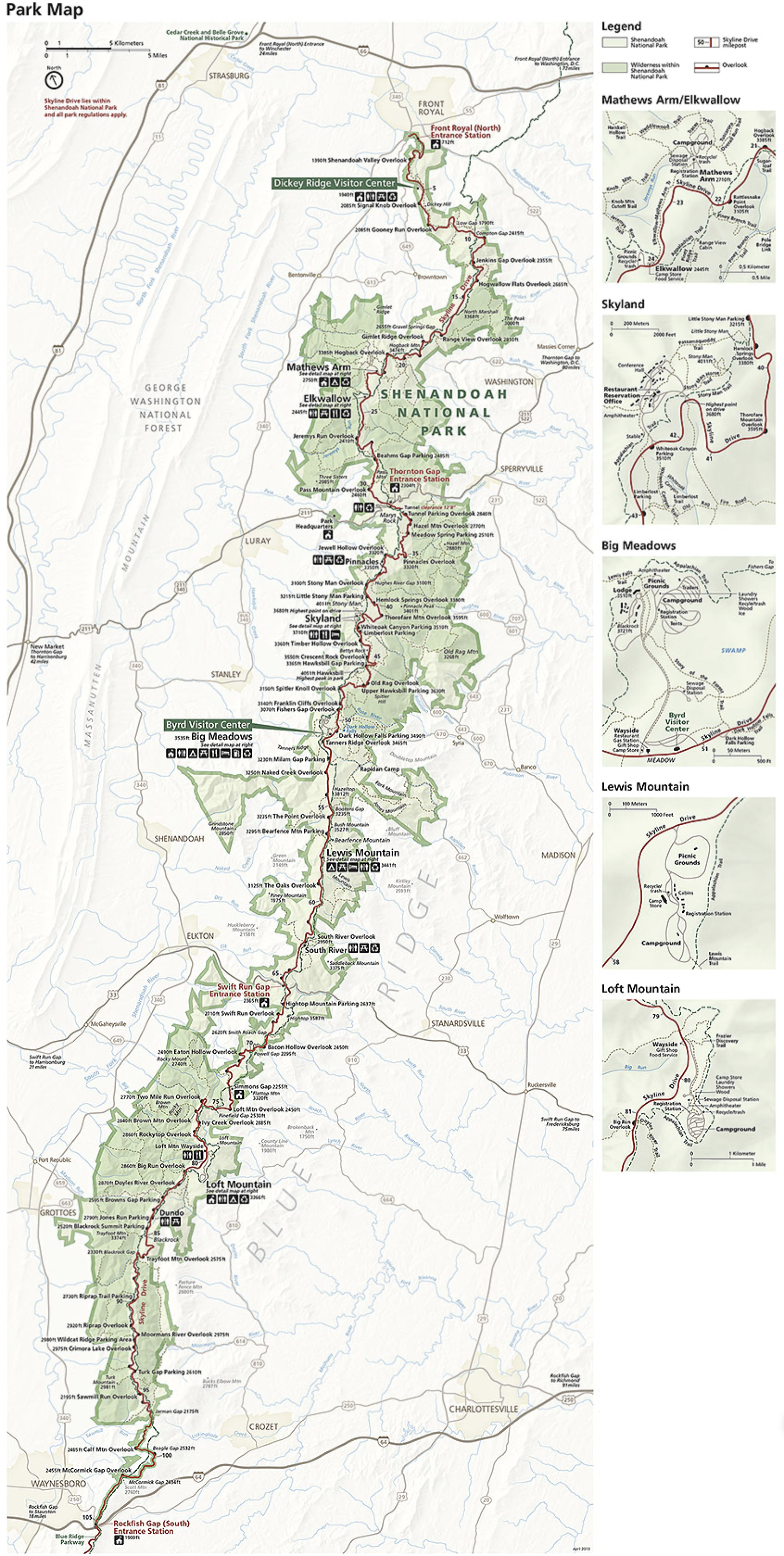
Map

An interactive map of our route, heading south through the park, then returning outside the park:

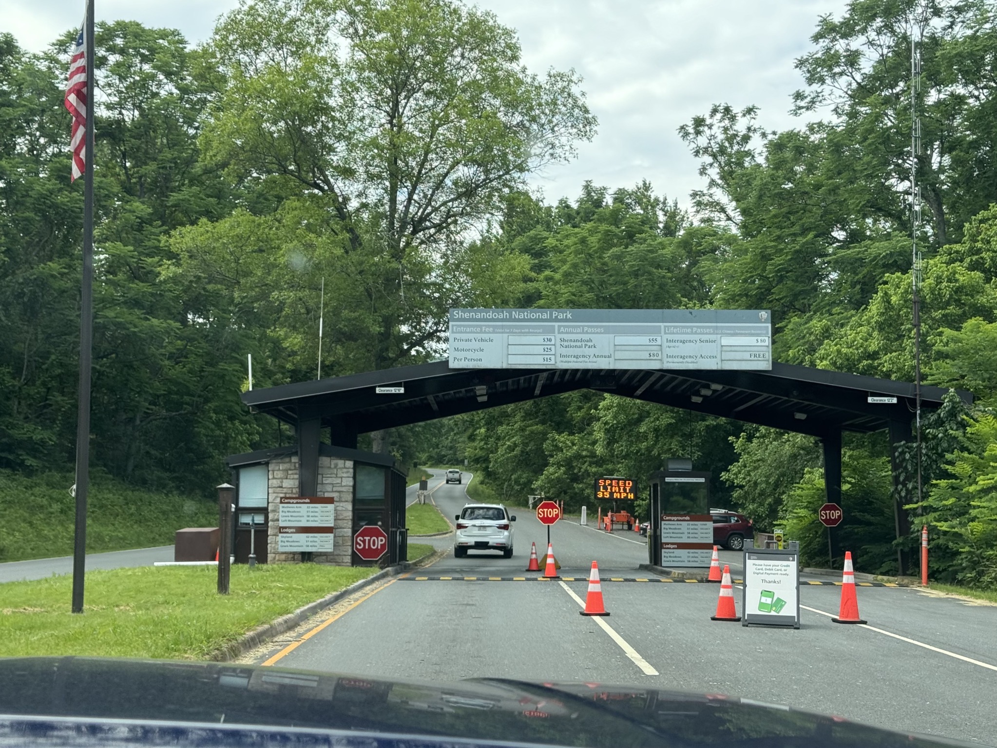
Shenandoah National Park north entrance entrance sign:
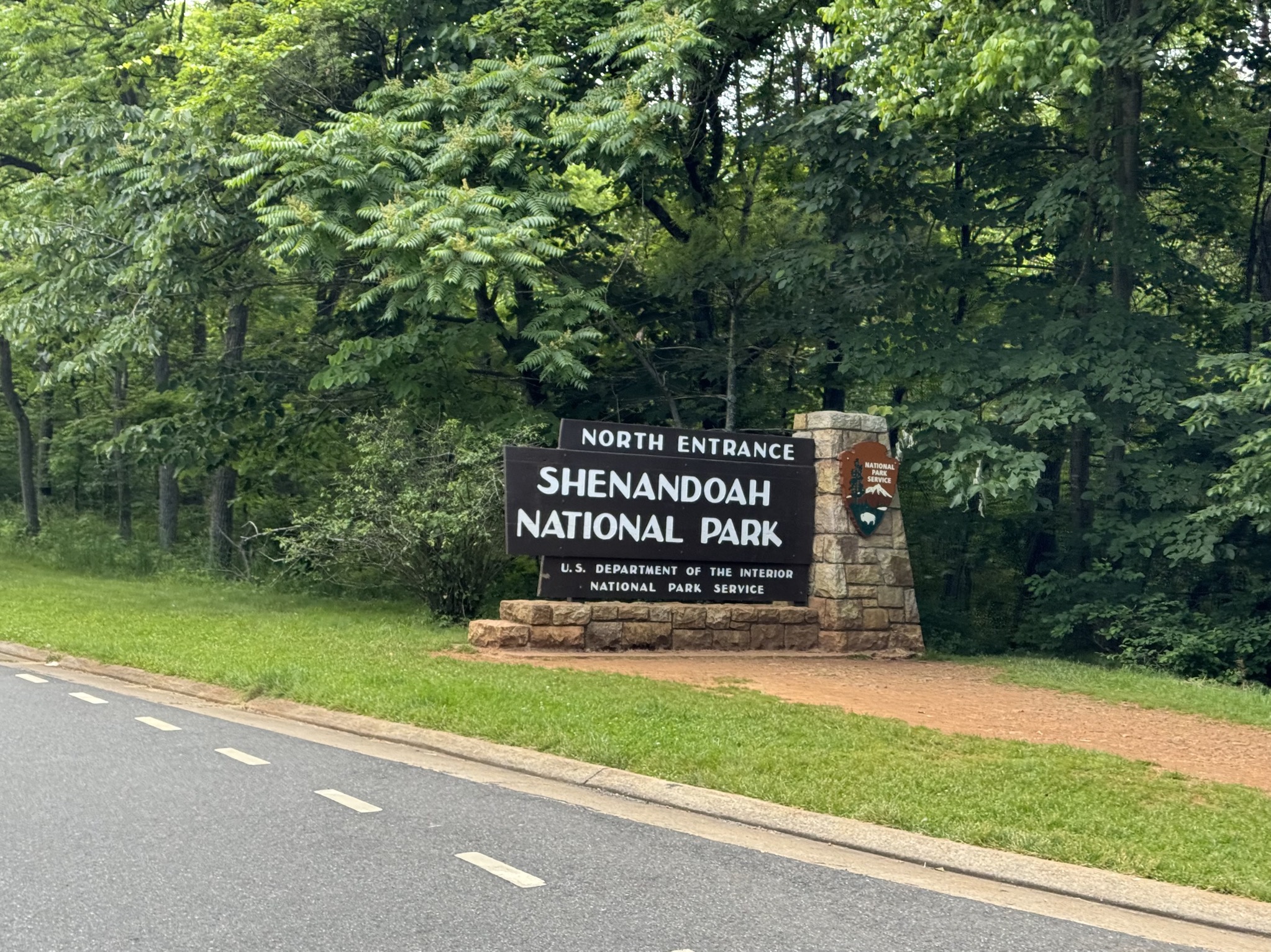
Shenandoah National Park north entrance entrance sign
Shenandoah National Park north entrance entrance
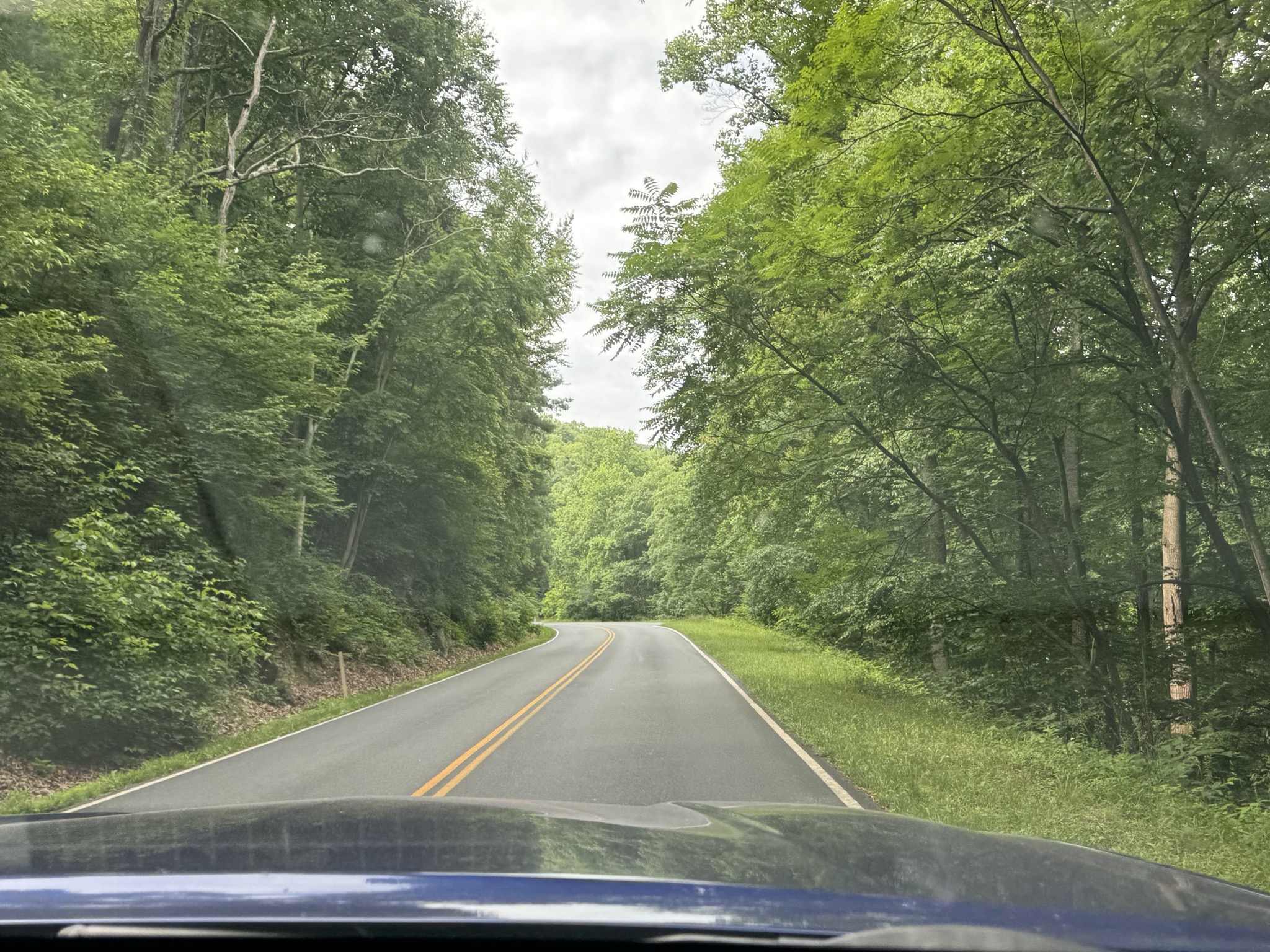
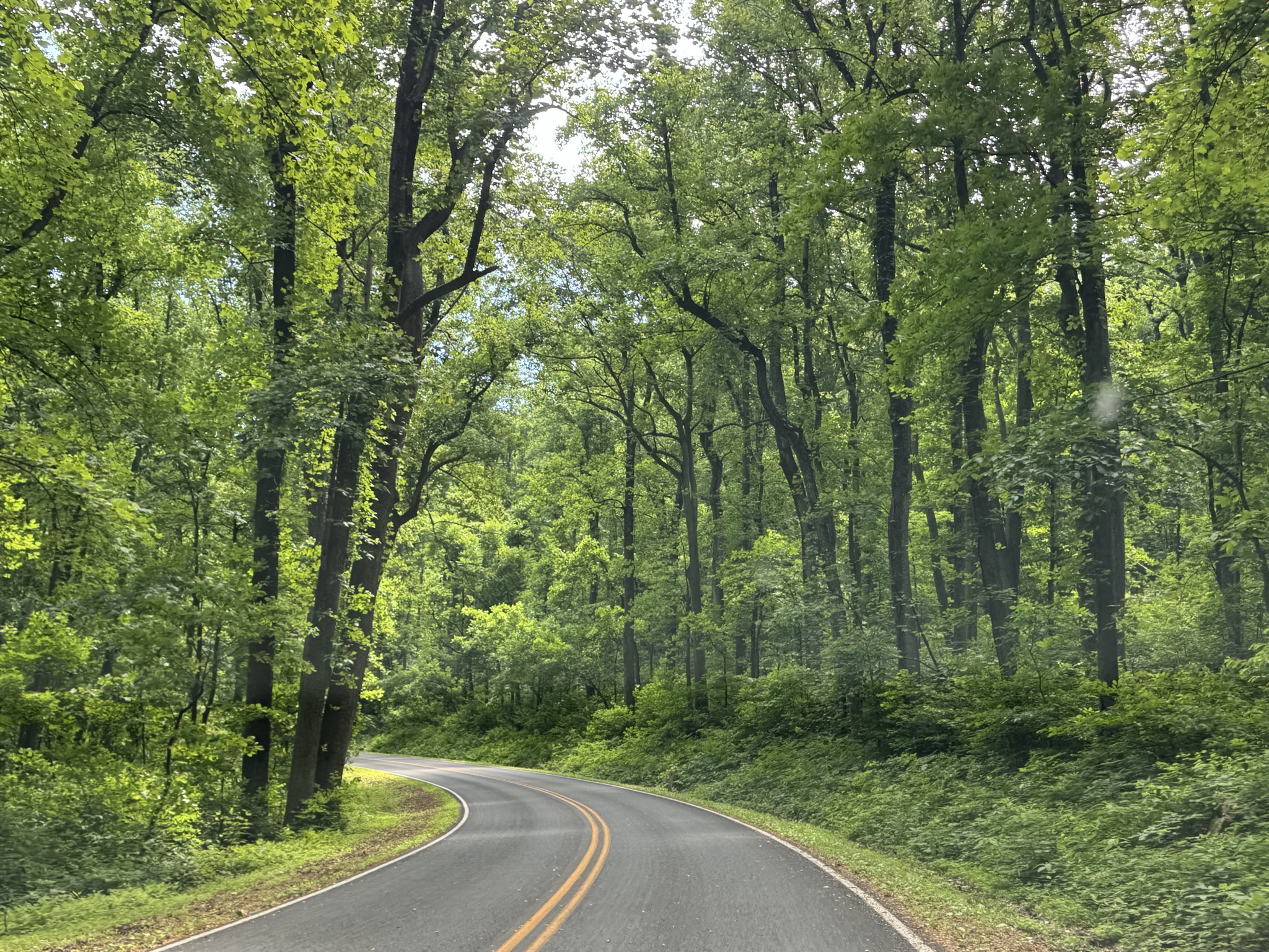
Shenandoah National Park

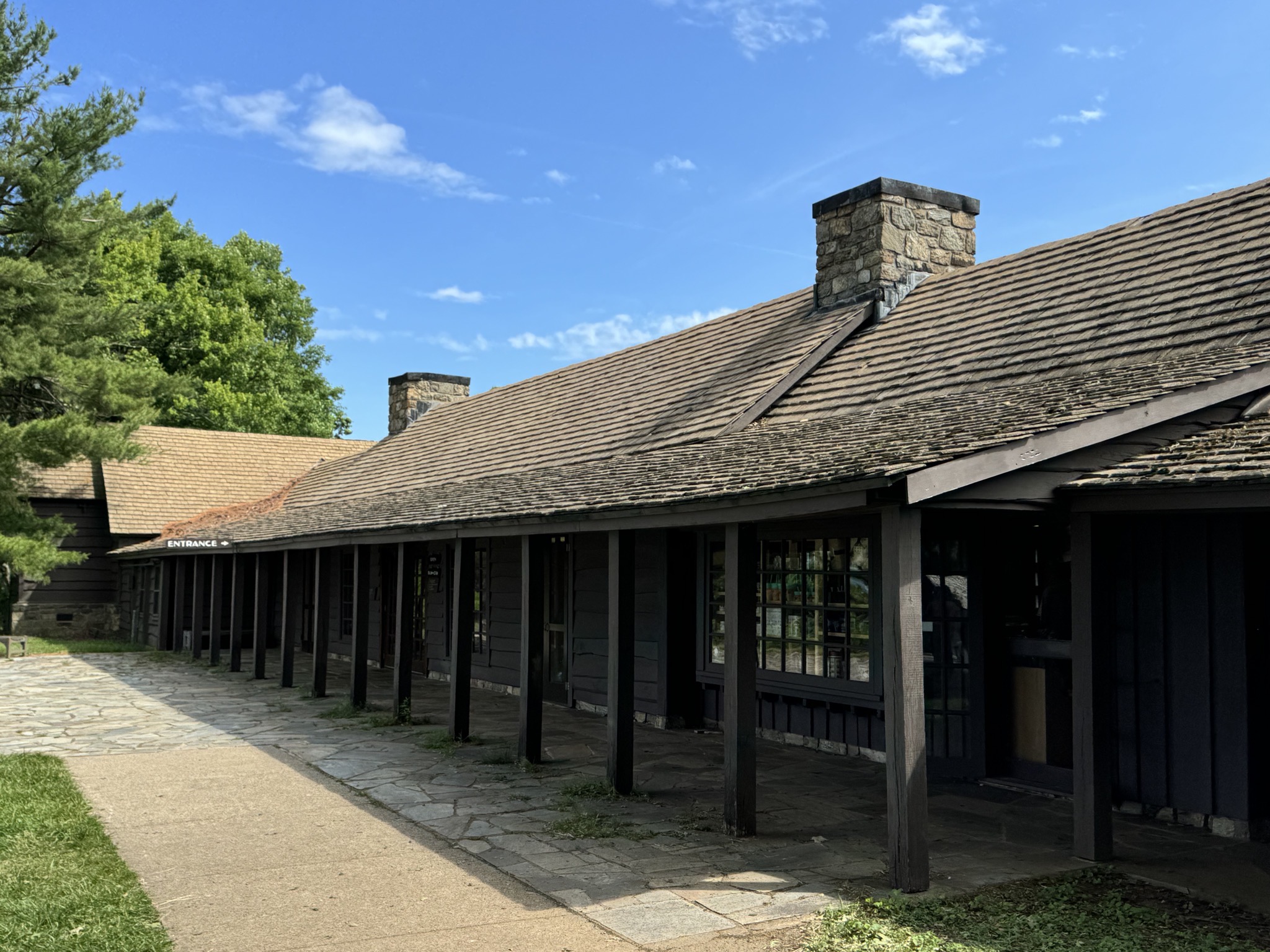
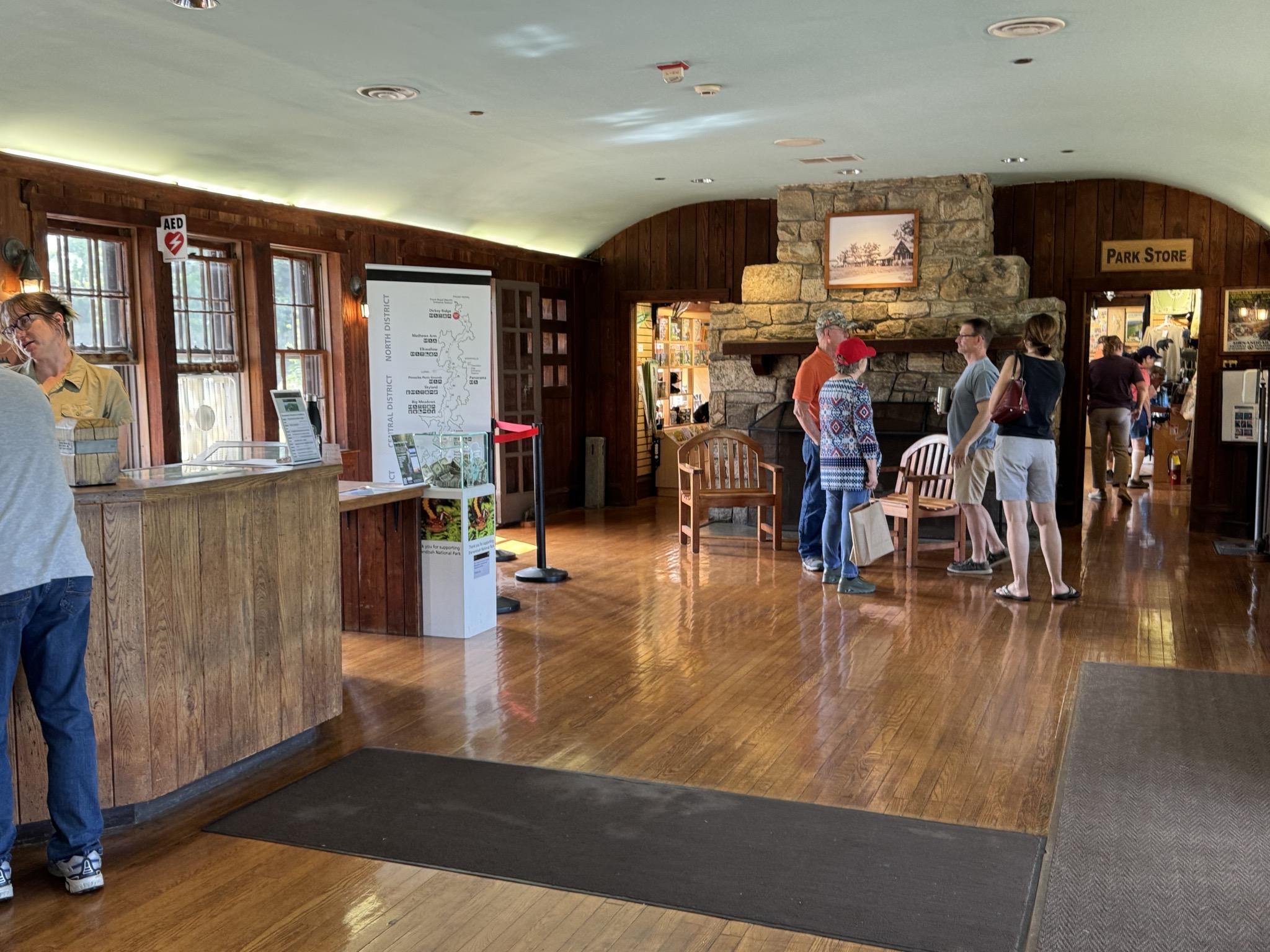
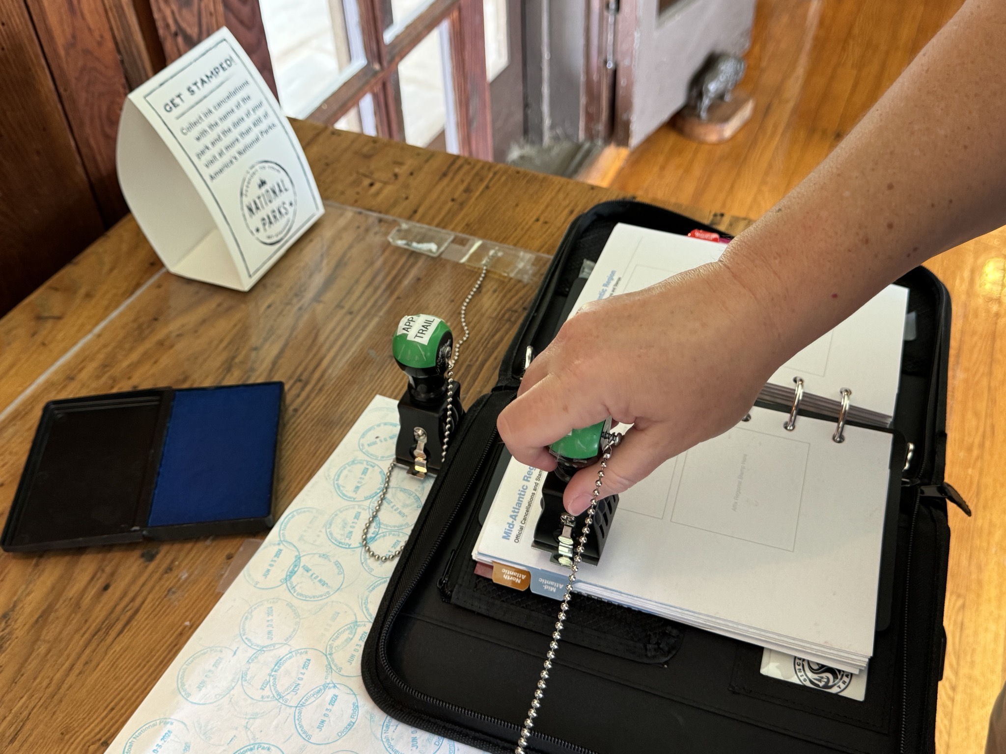
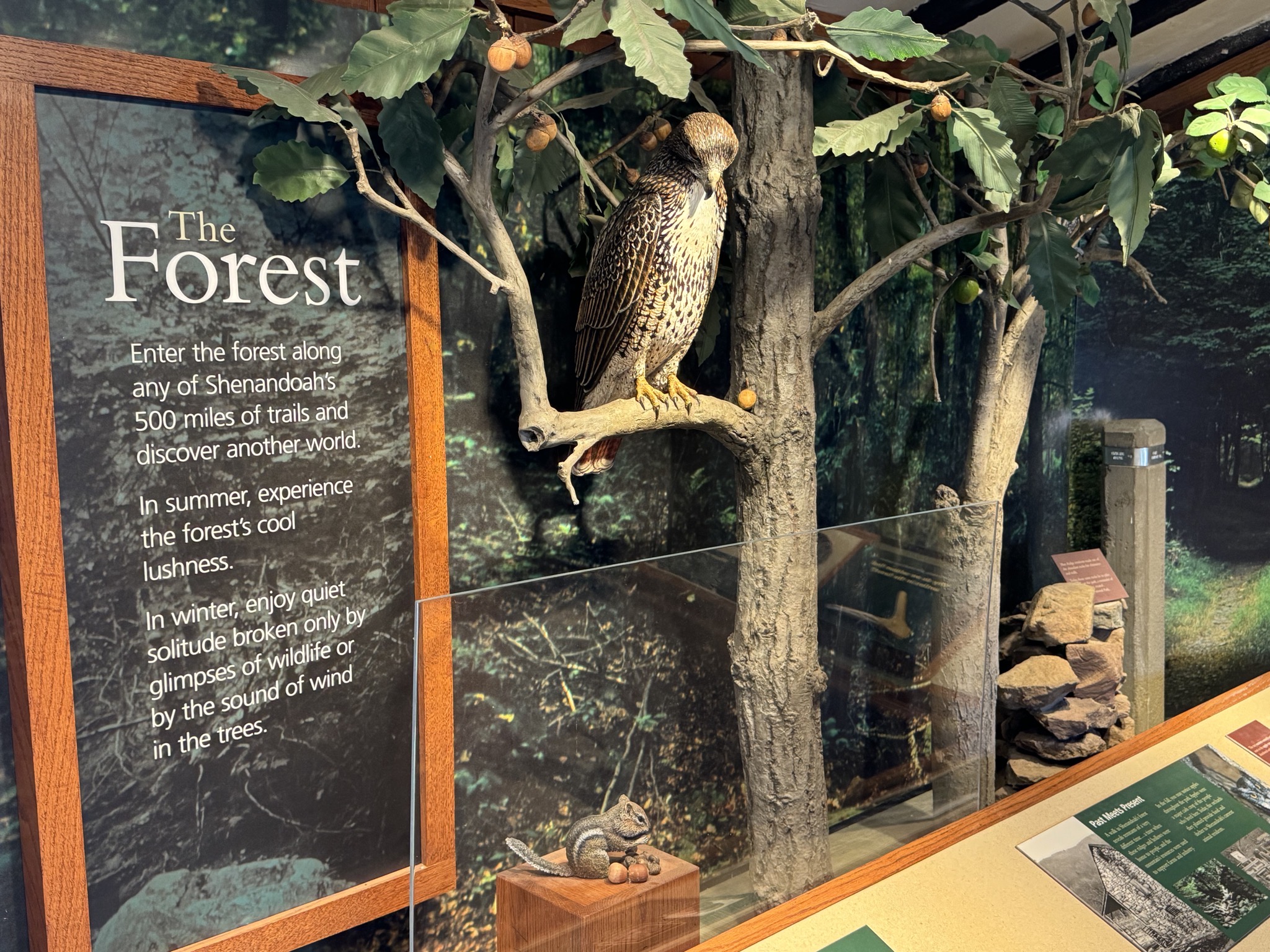
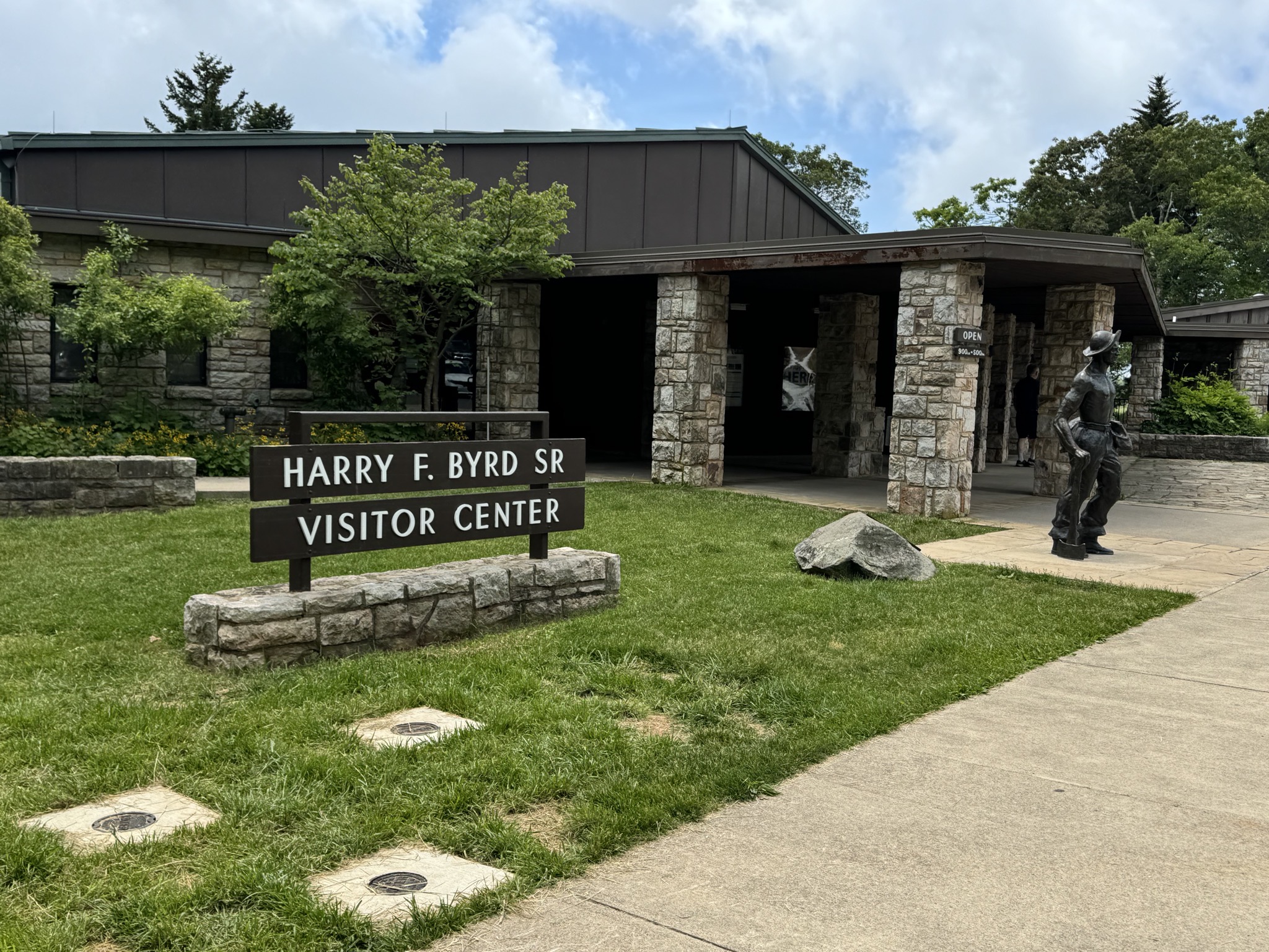
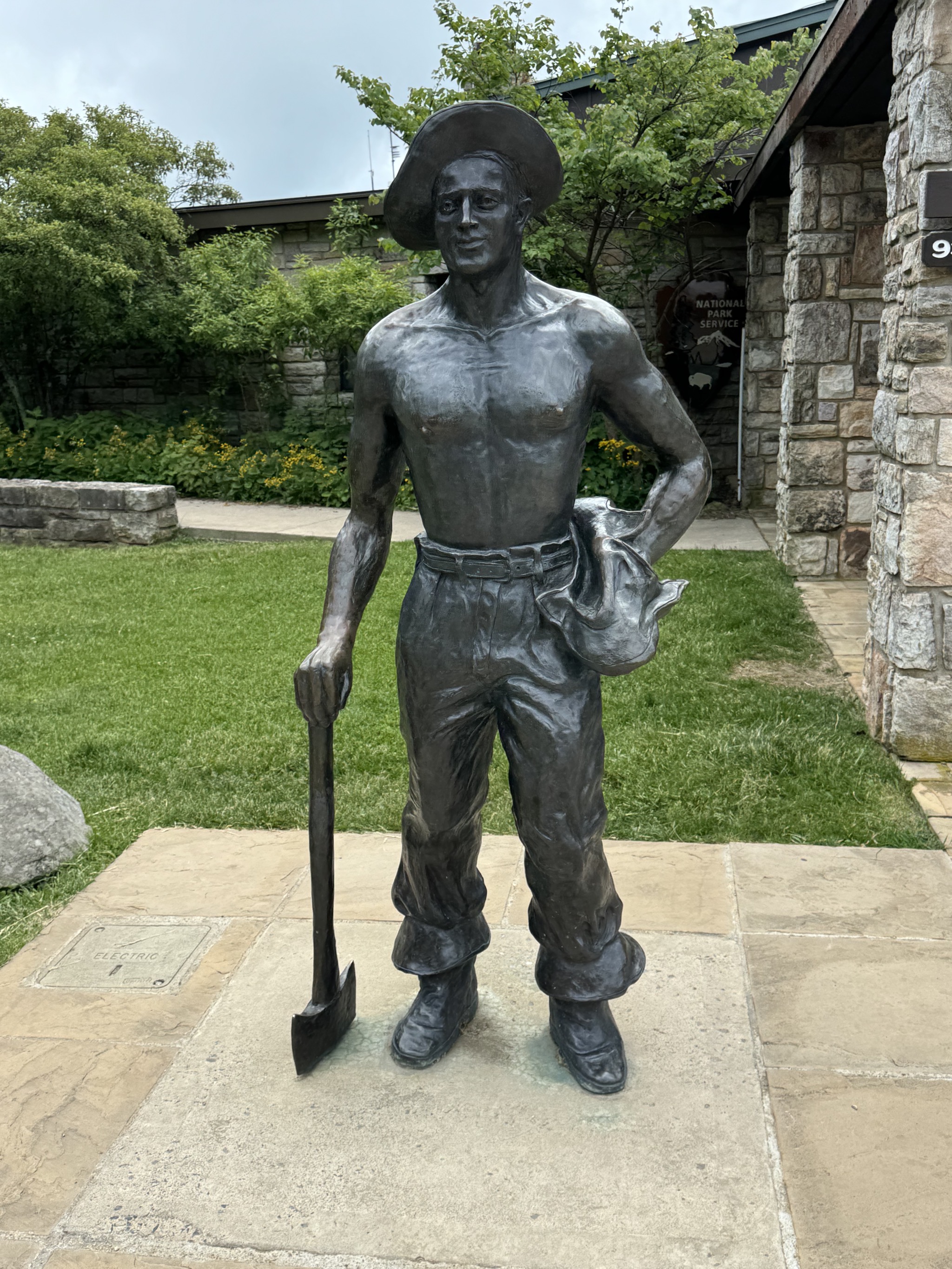
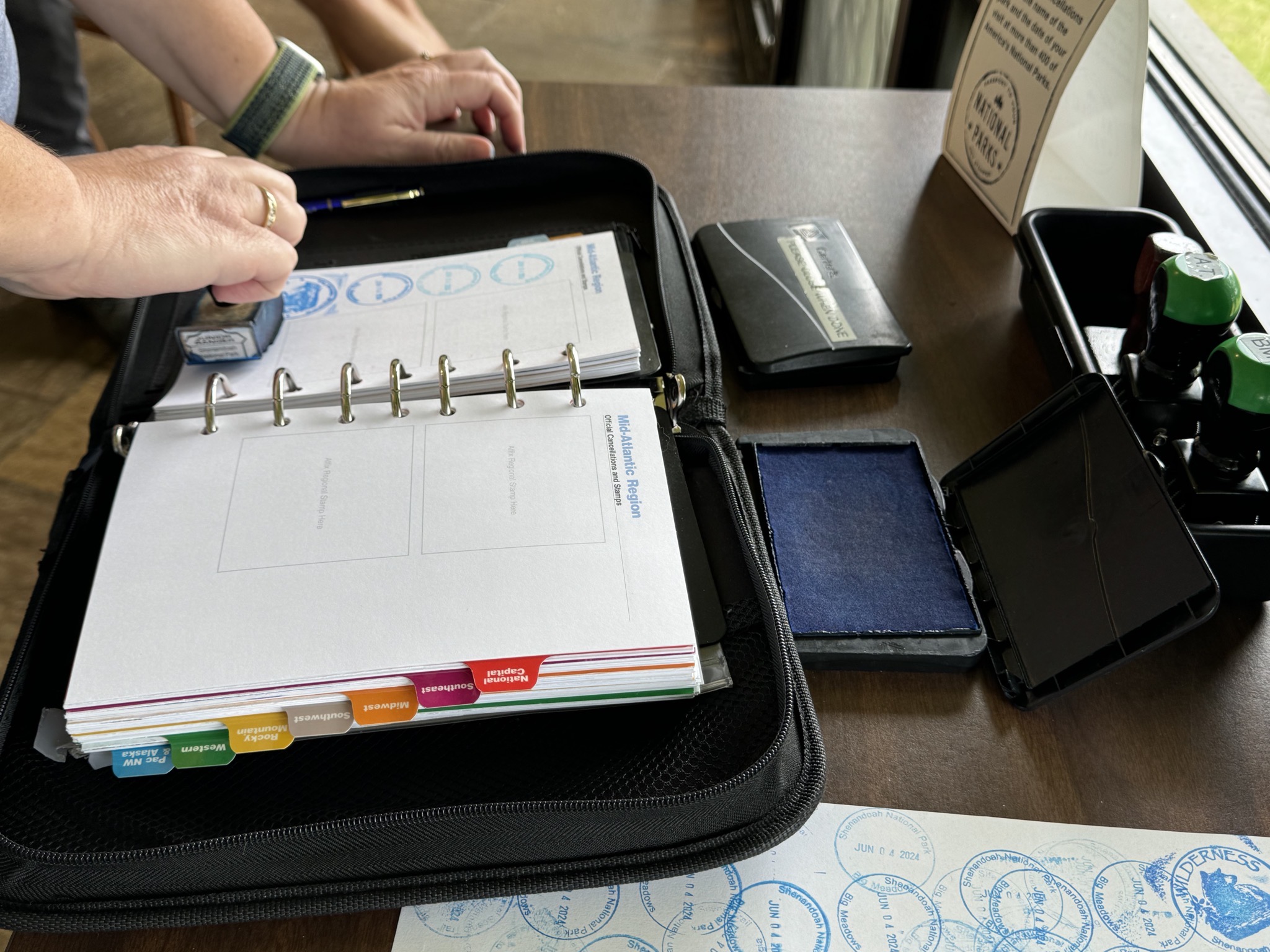
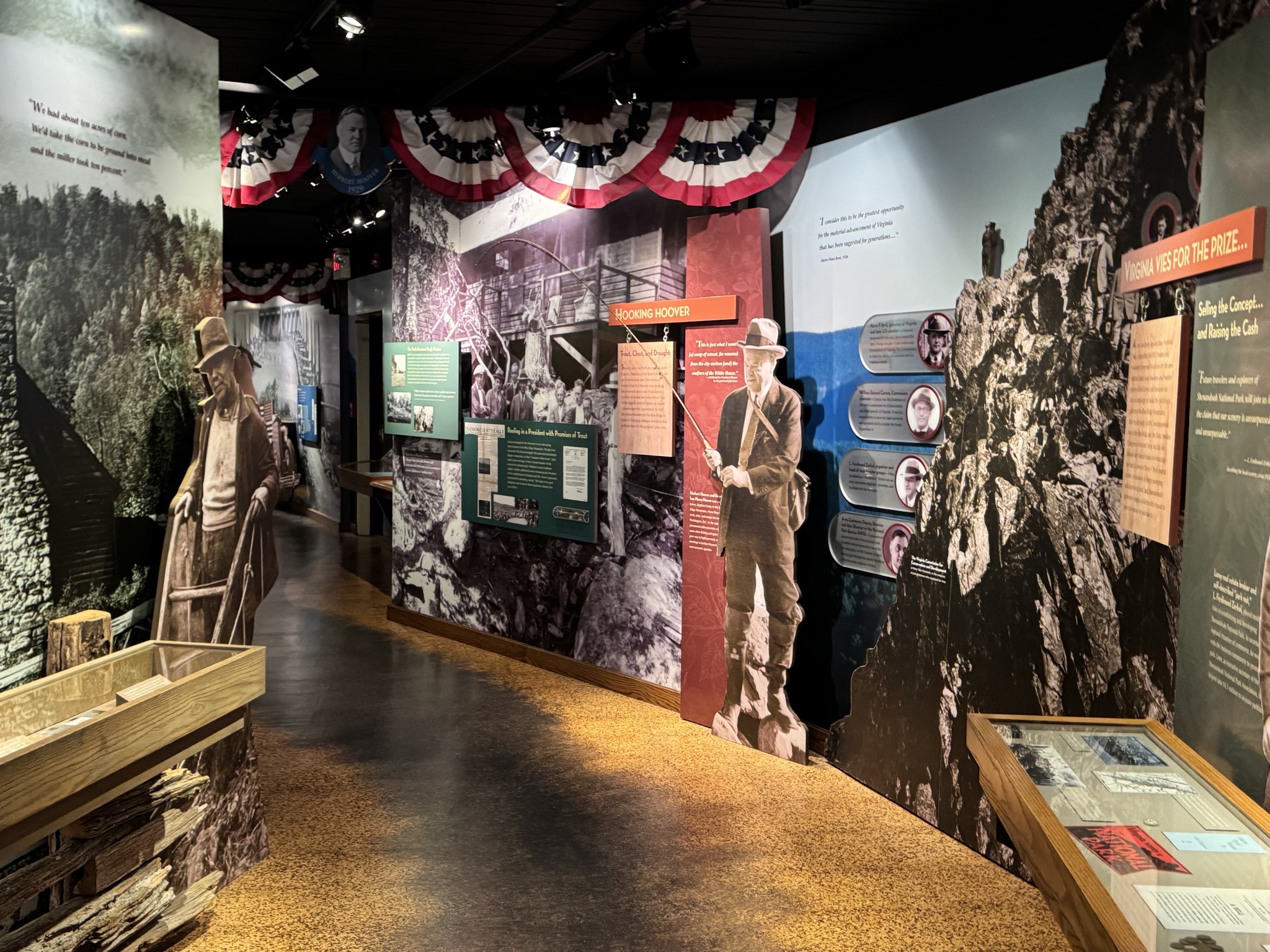
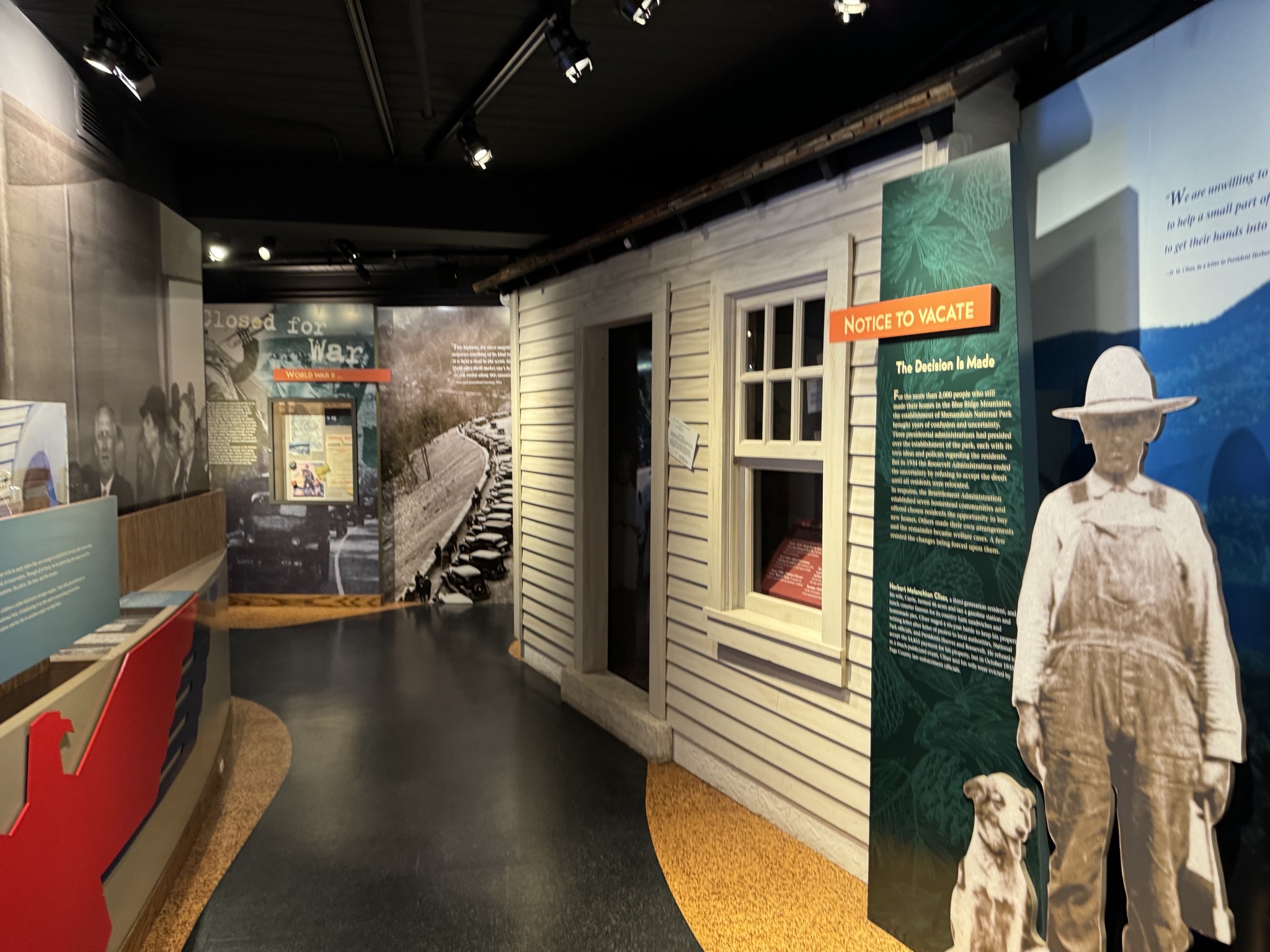
Visitor center:

Visitor center
Visitor center
Visitor center
Visitor center
Visitor center
Visitor center
Shenandoah National Park

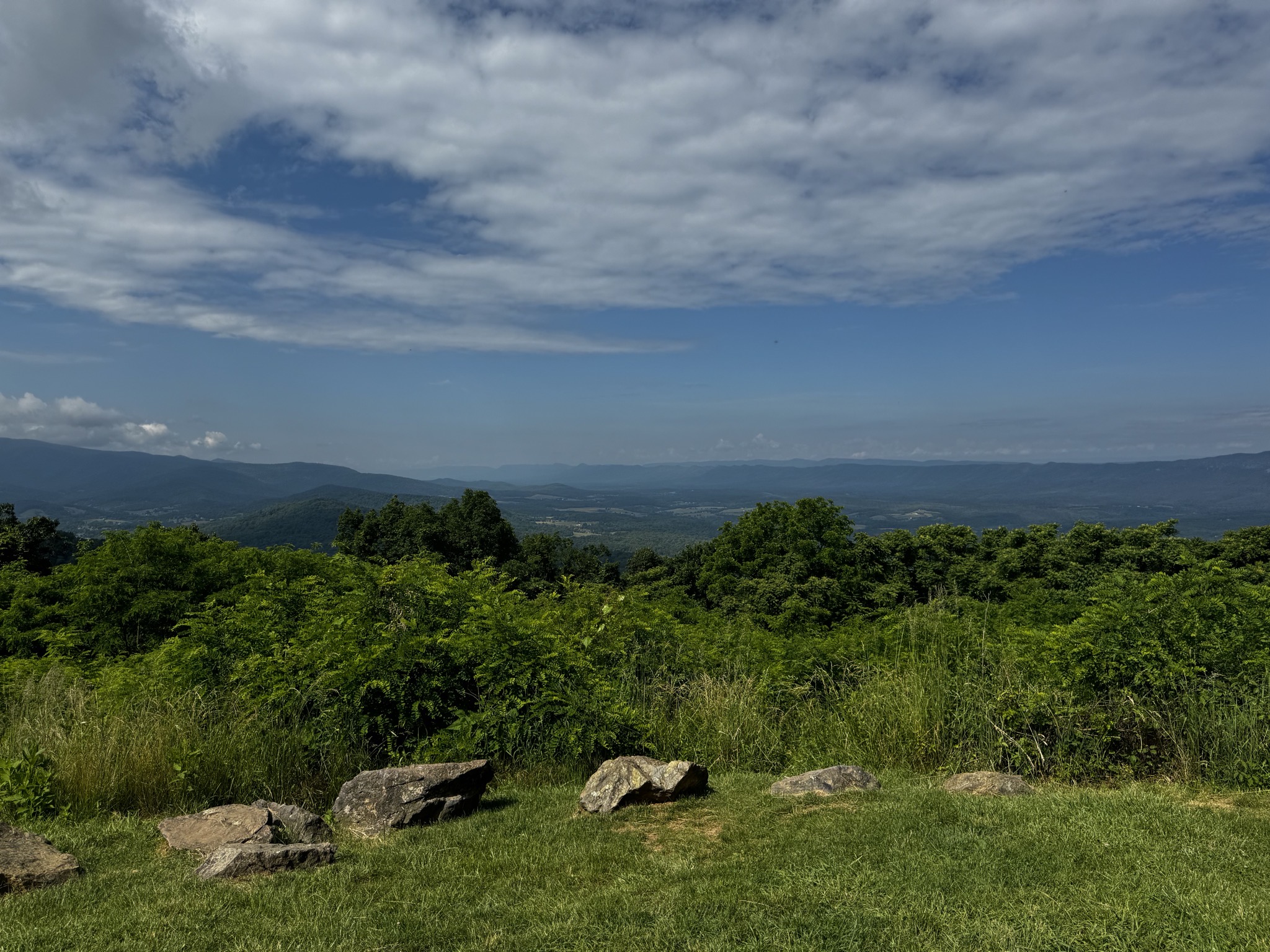
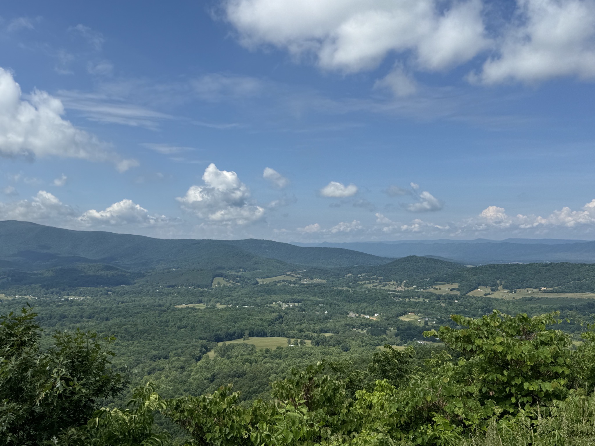
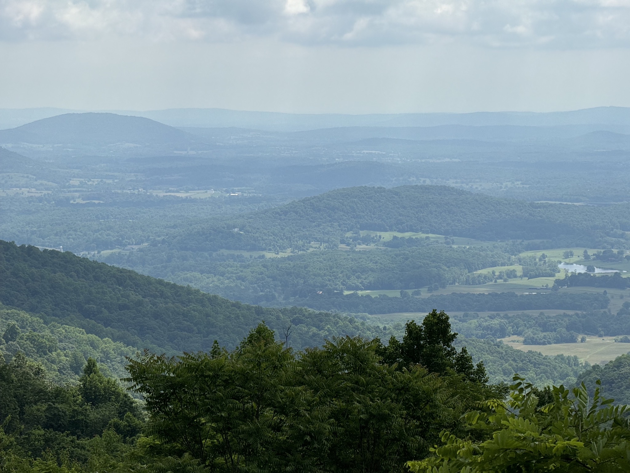
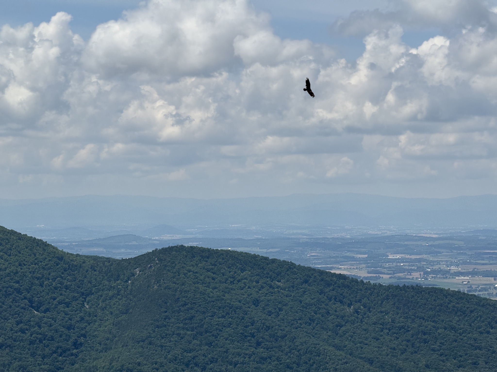
I’m sure the vistas would be much more impressive in the fall:
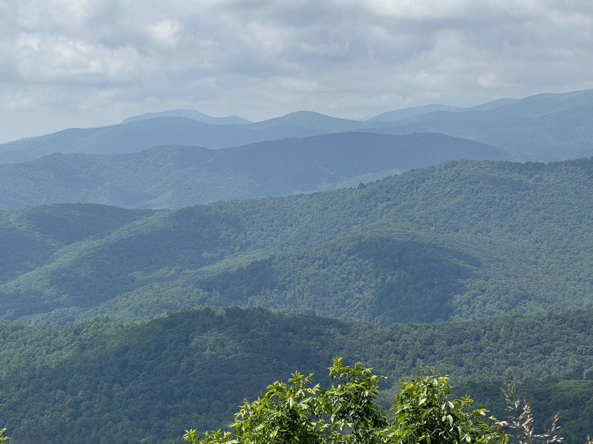
Shenandoah National Park

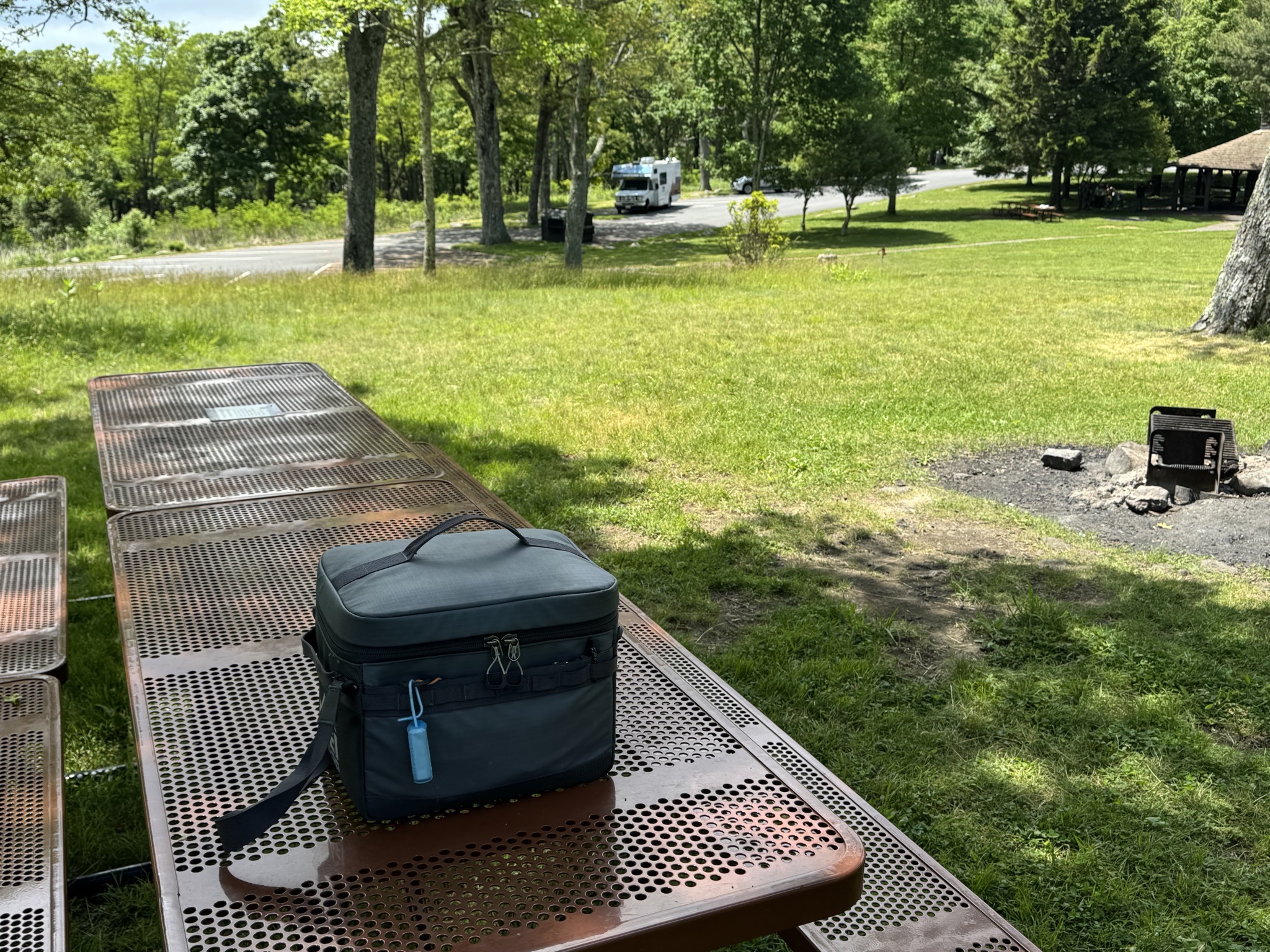
Picnic lunch:

Picnic
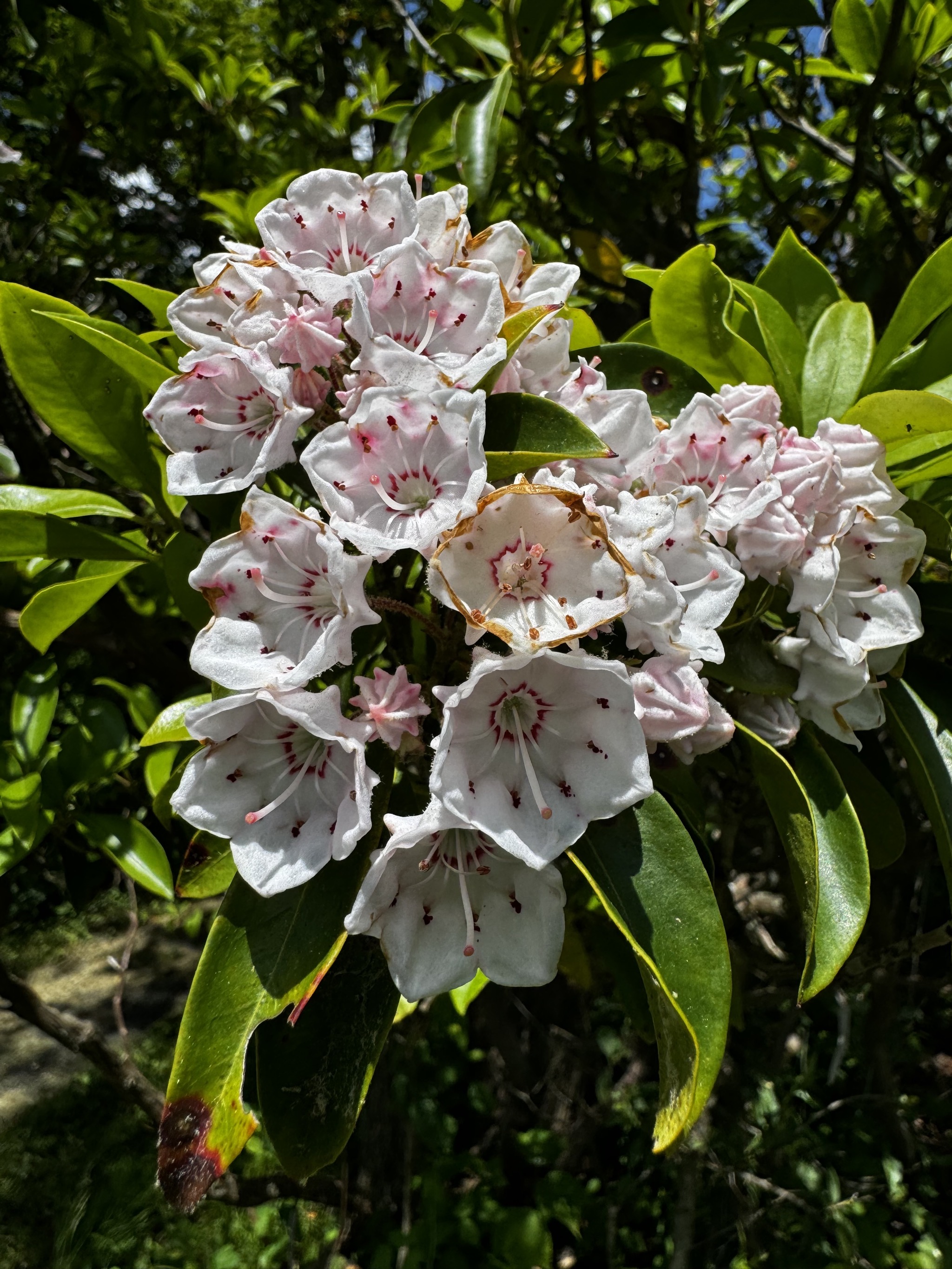
Flowers

Highest point on drive, elevation 3,680 feet (aww, how cute):
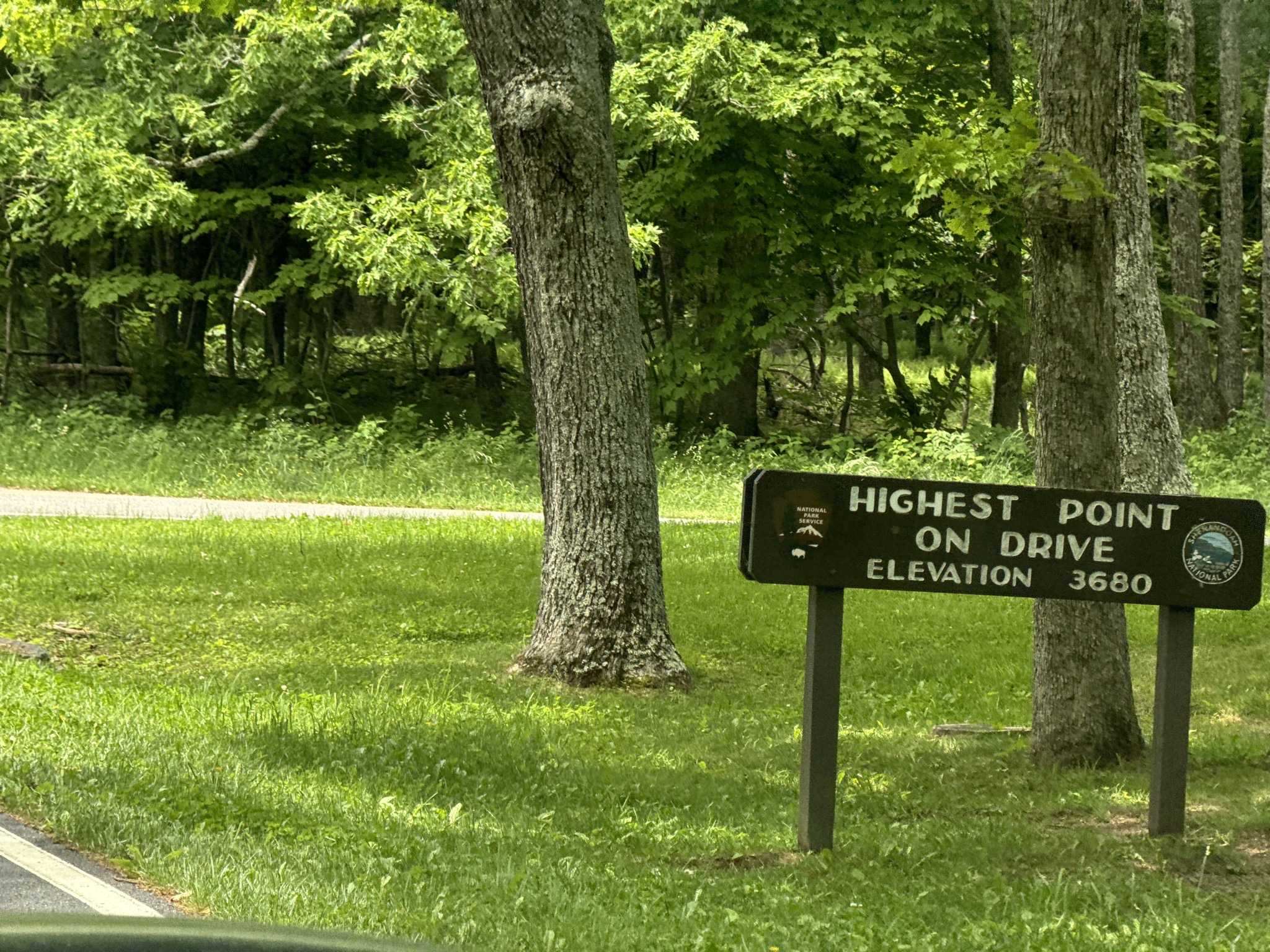
Highest point on drive elevation 3690

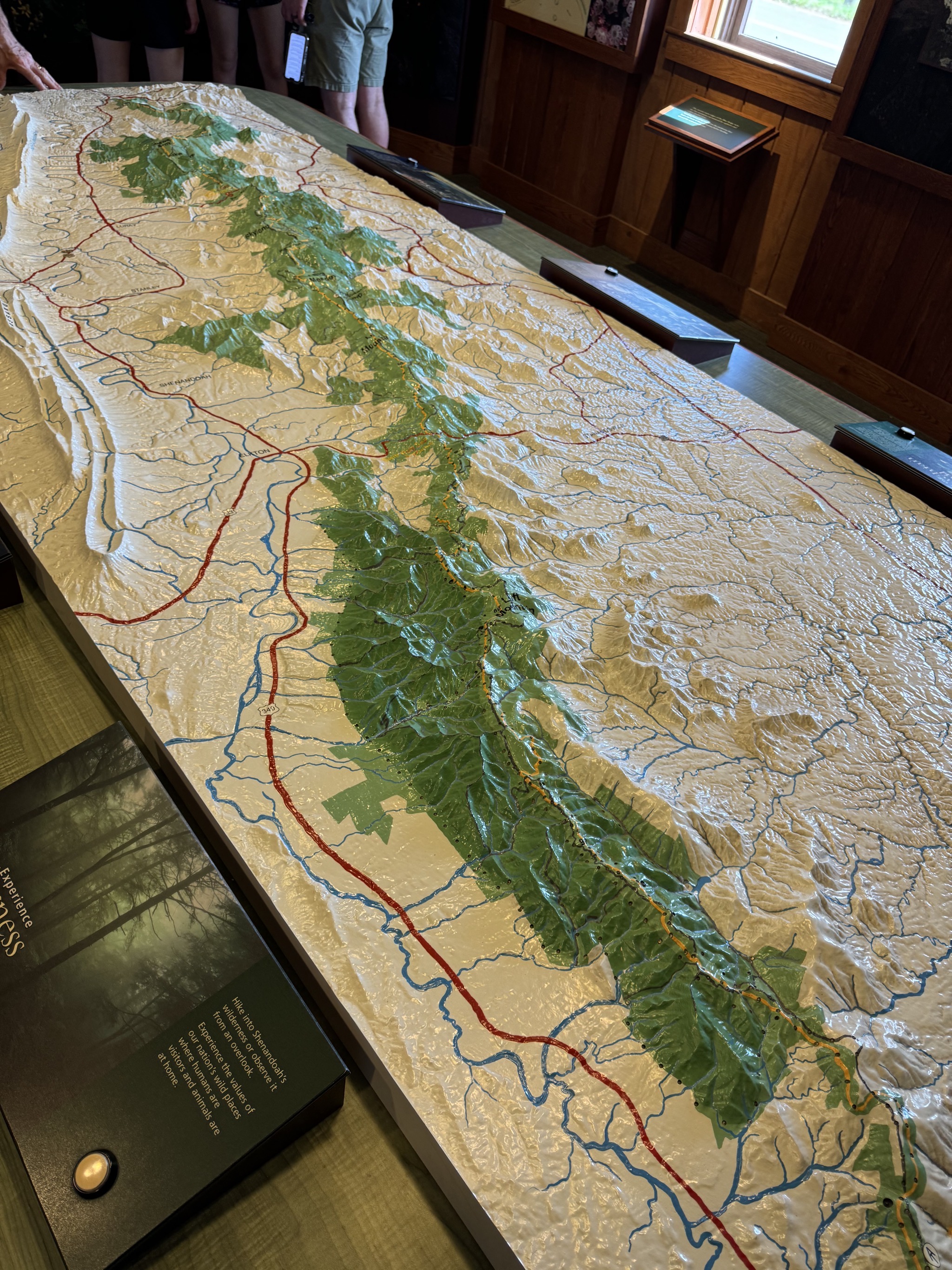
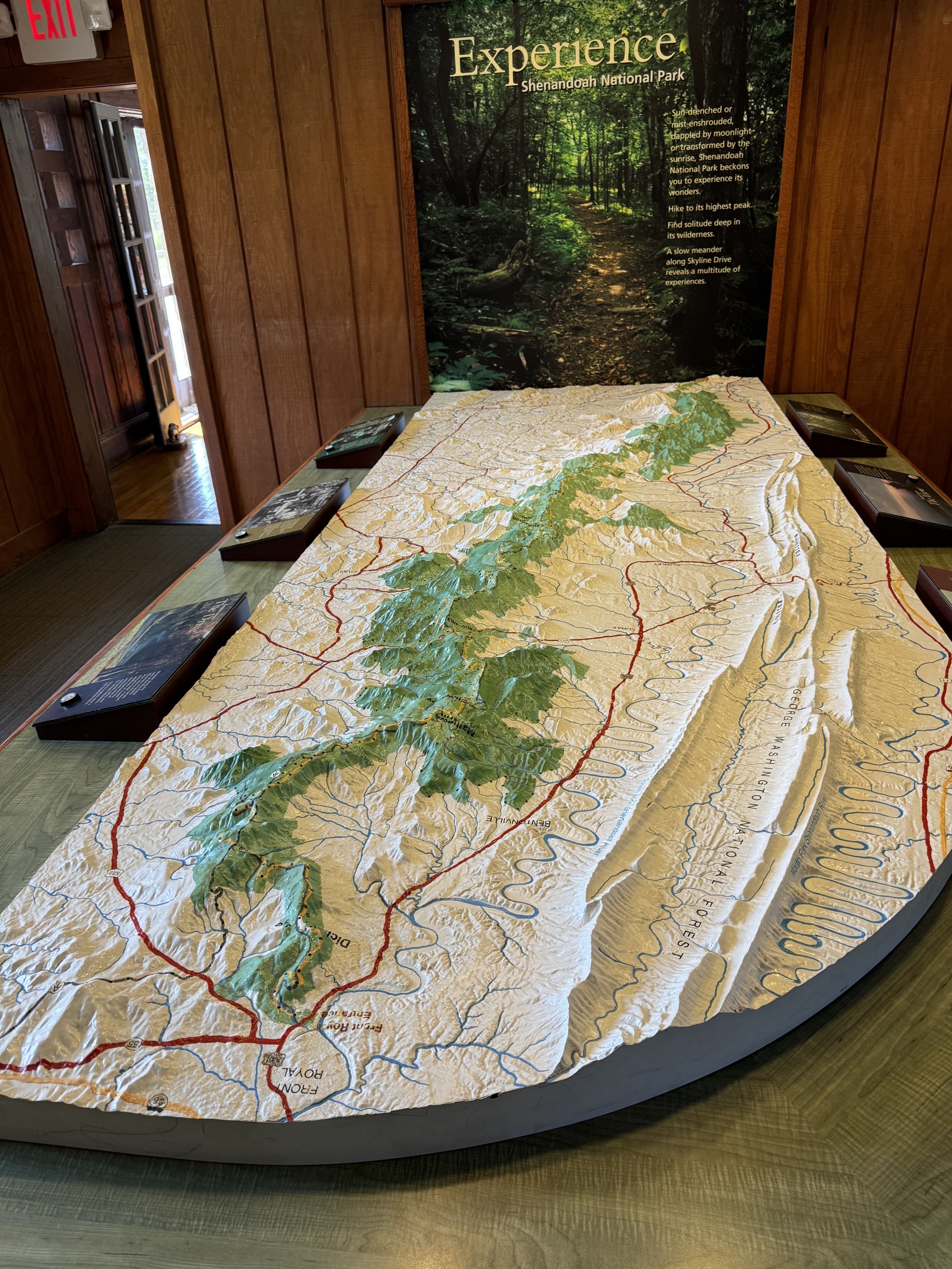
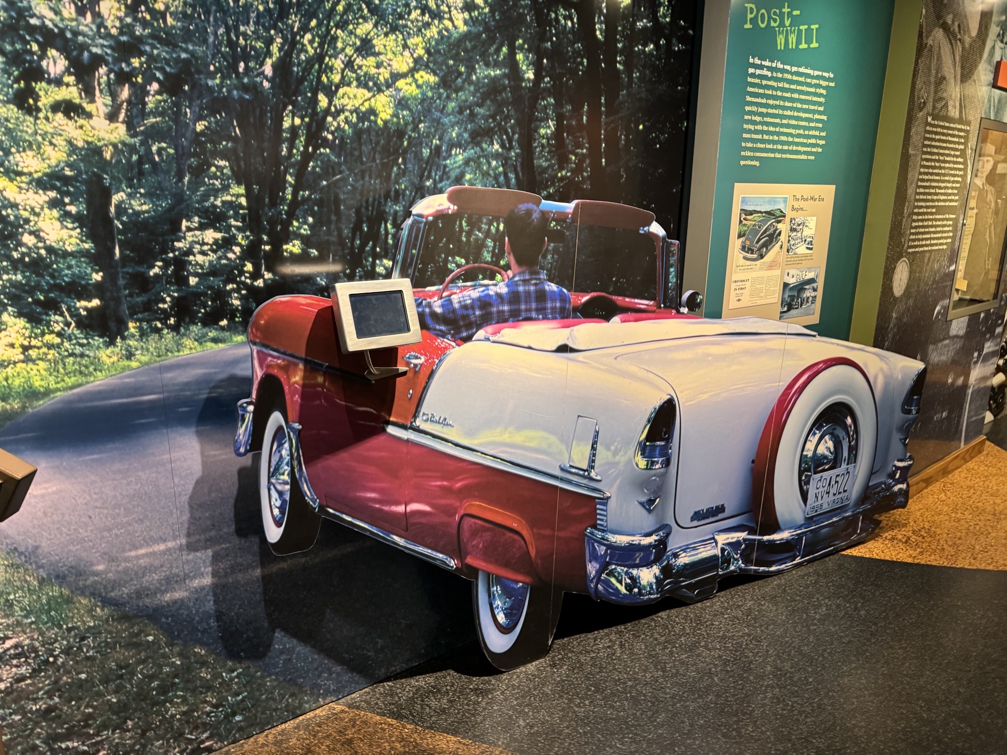
Visitor center:

Visitor center
Visitor center
Visitor center
Visitor center
Visitor center
Visitor center
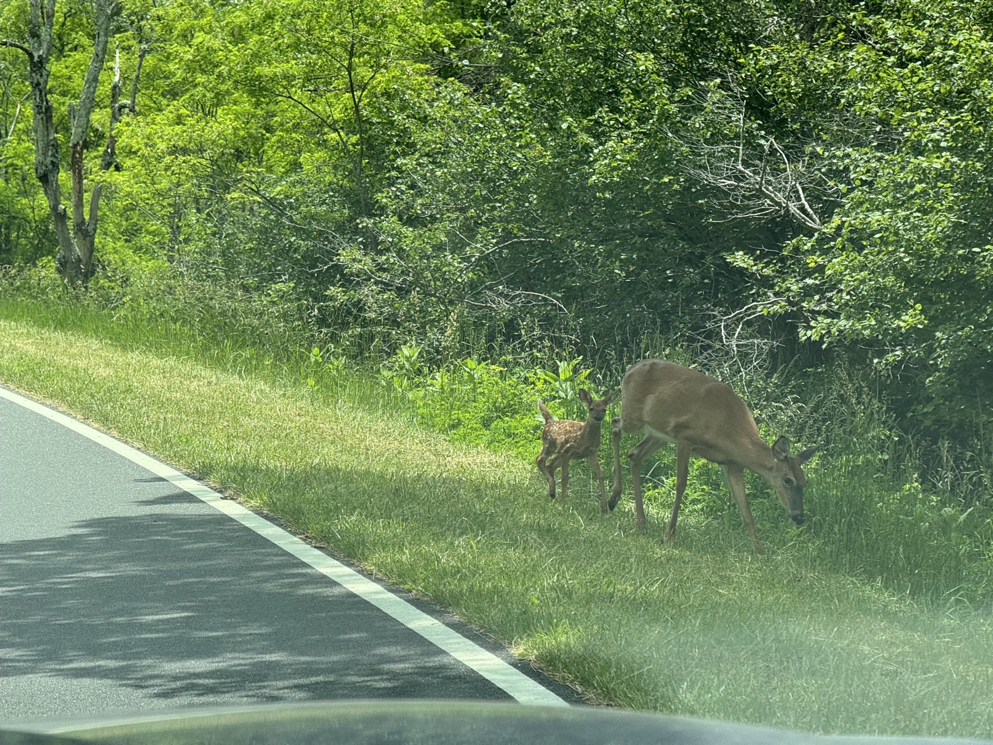
Deer
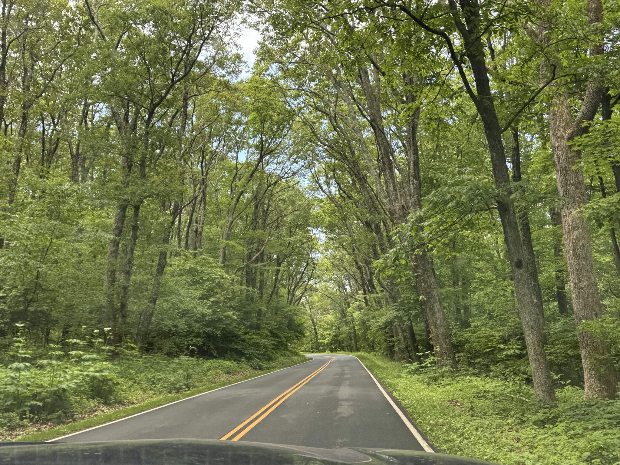
Shenandoah National Park

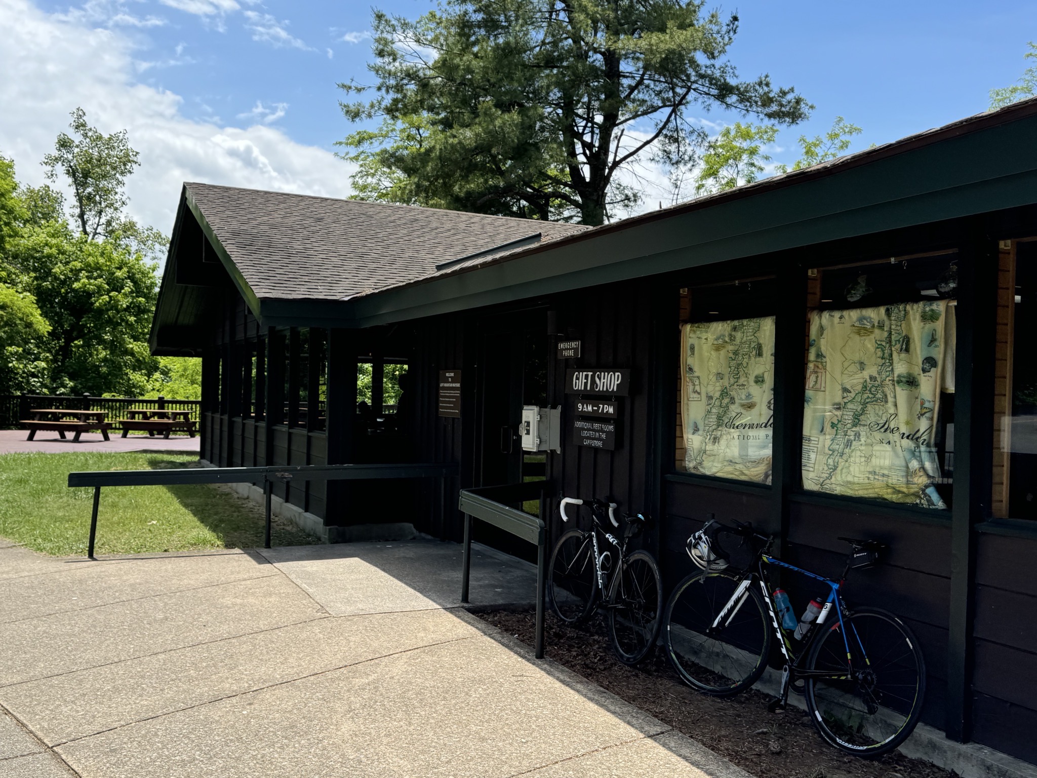
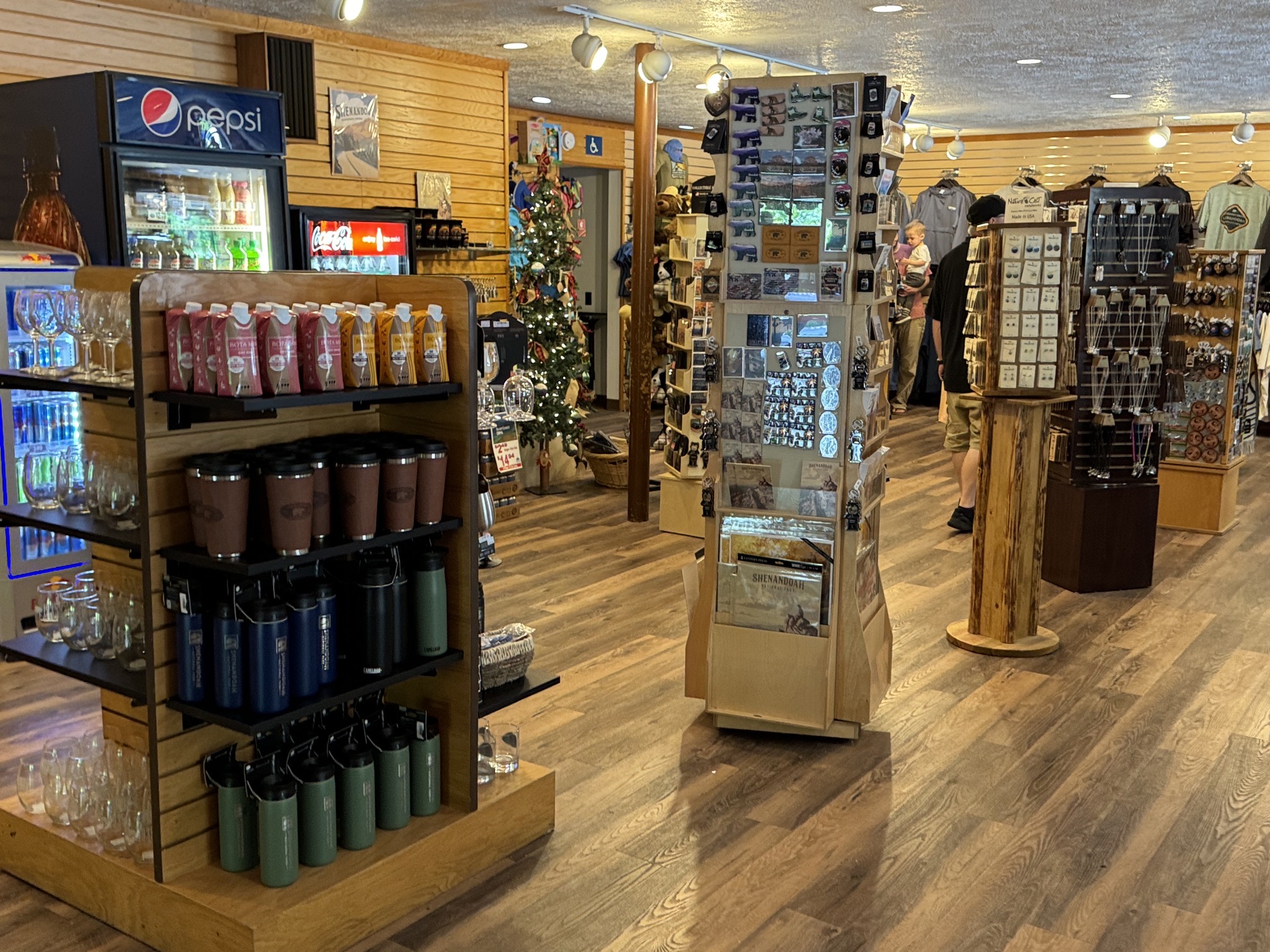
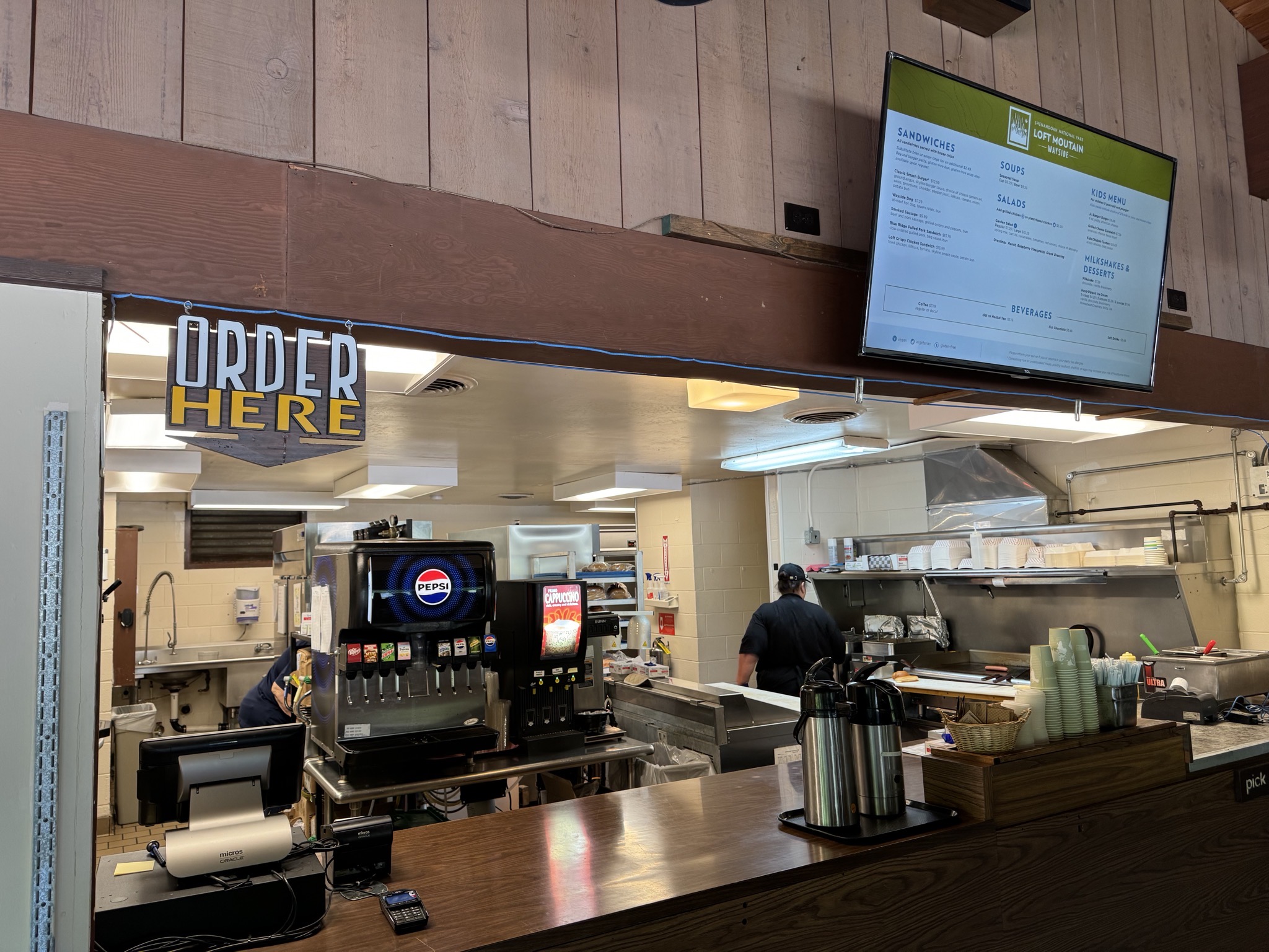
There are a few commercial waysides in the park:
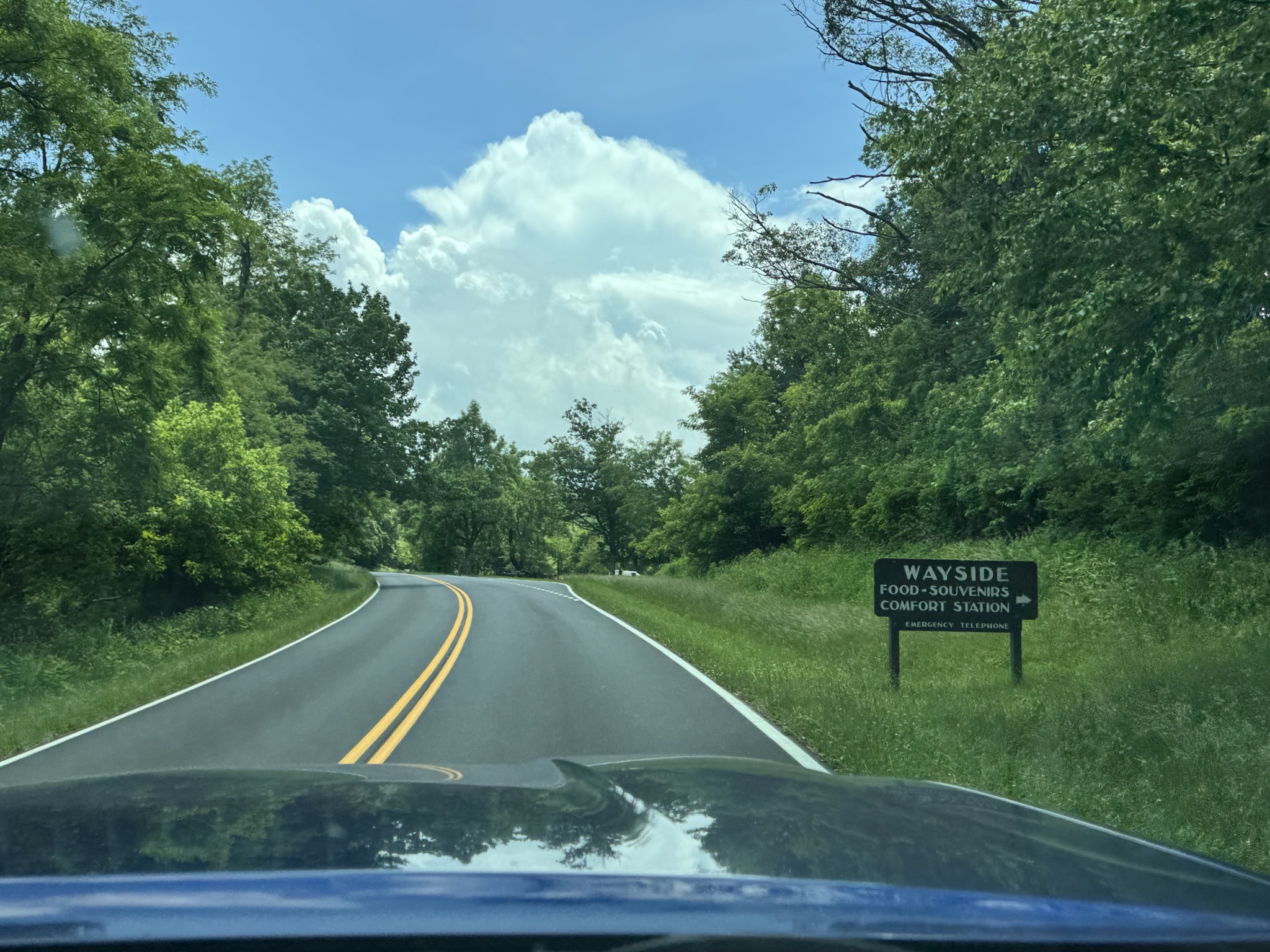
Shenandoah National Park
Wayside
Wayside
Wayside
Leaving Shenandoah National Park