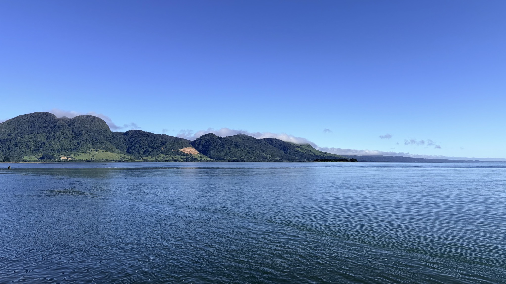
NZ: Franz Josef to Hokitika

We traveled from Franz Josef to Hokitika.

Here’s an interactive map of our route, with some of the stops marked:

We started the day with a helicopter flight, as shown in the previous post. After that, we went next door to the Full of Beans Cafe for a second breakfast; this sign shows a sampling of Kiwi expressions:

Full of Beans Cafe

Full of Beans Cafe

Amazingly, they had a potato top meat pie, so I had to have that (potato top pies seem to be becoming hard to find, unfortunately):

Full of Beans Cafe

Whataroa River:

Whataroa River

A long one lane bridge with passing lanes:

Long one lane bridge with passing lanes

Another one lane bridge:

Another one lane bridge

Weka:

Weka

We went to the West Coast Tree Top Walk, and had lunch at their cafe:

Tree top cafe

Tree top cafe

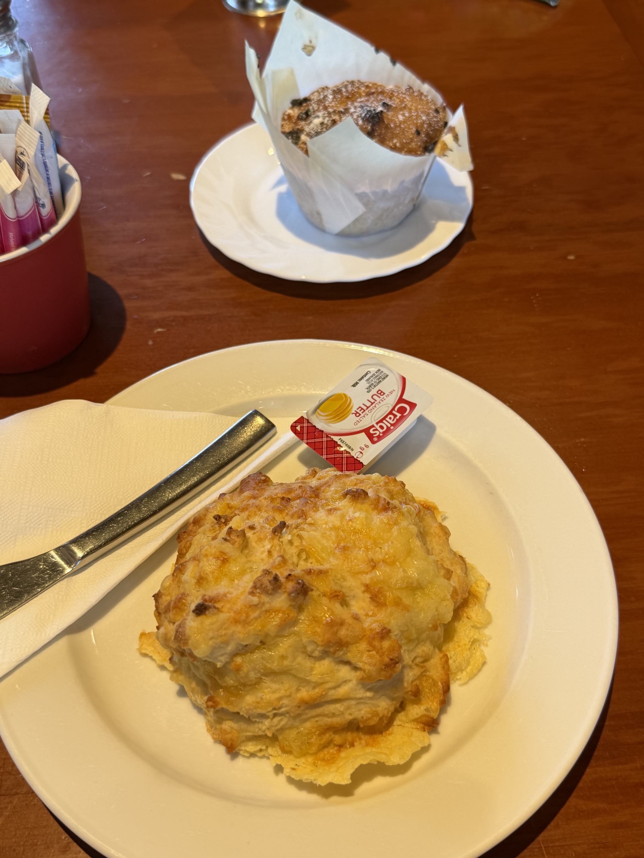
Yes, another pie; gotta get as many as possible as our trip comes to an end:

Tree top cafe

Then we did the tree top walk; here’s the map:

Tree top walk map

And stop info:

Tree top walk info

Tree top walk

Tree top walk

Tree top walk

Tree top walk

Tree top walk

Unfortunately a school trip was on the walk at the same time; they were having fun making the cantilevered portion bounce:

Tree top walk

Tree top walk

Onward; some cows going through a tunnel under the road:

Cows going through a tunnel under the road

Hokitika:

Hokitika

Hokitika

Arriving at Shining Star Beachfront Accommodation:

Shining Star Beachfront Accommodation

Shining Star map

Our site:

Our site

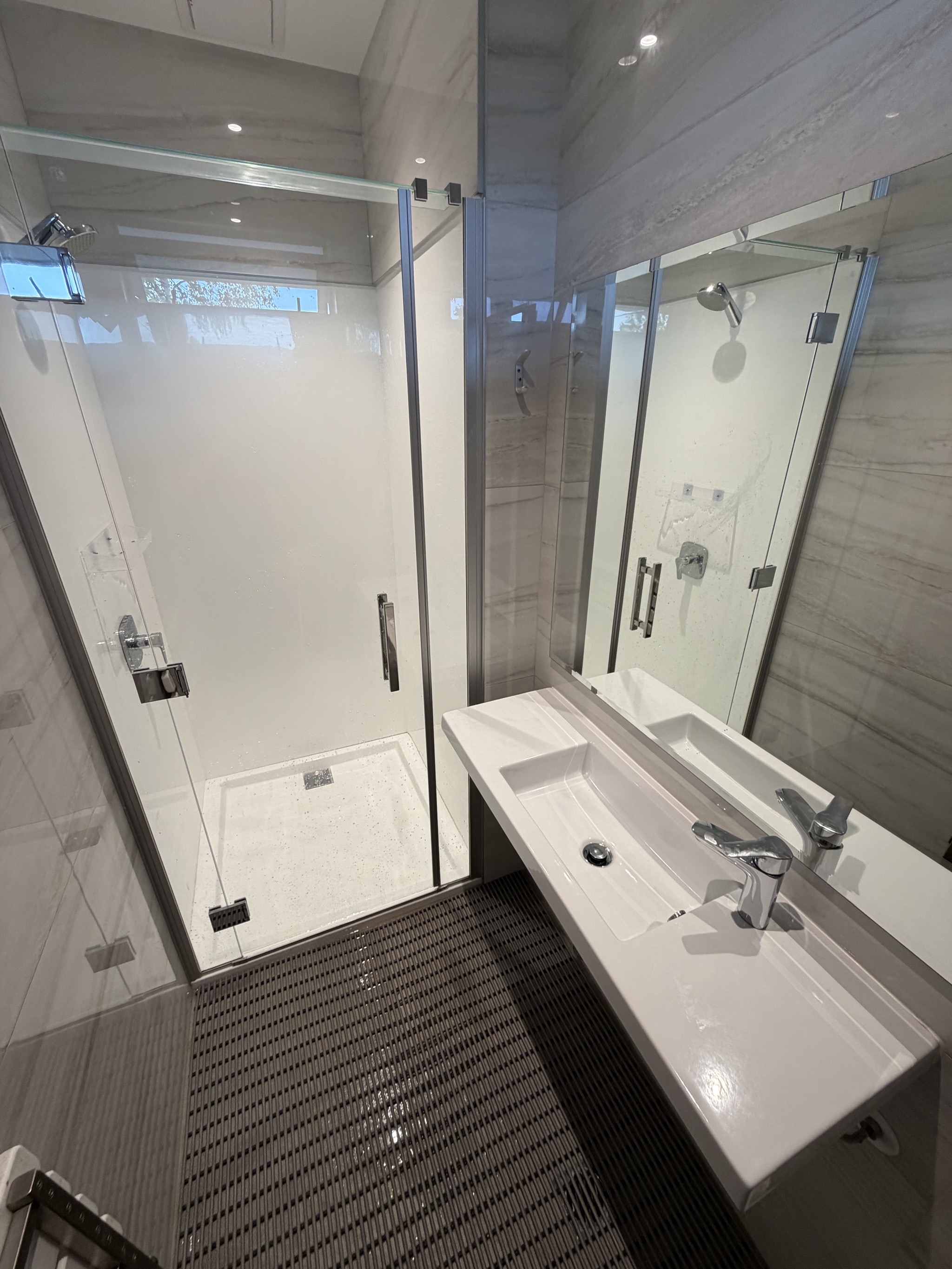
Shower:

Shower

Dulcie’s Takeaways for dinner:

Dulcie's Takeaways

Dulcie's Takeaways

We took the takeaways to eat with a beachfront view; a classic Kiwi experience:

Takeaways

Shipwreck memorial:

Shipwreck memorial

Hokitika downtown:

Hokitika downtown

Back at the campground, we walked along the path to the beach:

Flax by path to beach

Hokitika beach

Hokitika beach

Hokitika beach

NZ: Lake Hāwea to Franz Josef

We traveled from Lake Hāwea to Franz Josef over Haast Pass.

Here’s an interactive map of our route, with some of the stops marked:

Lake Hāwea:

Lake Hāwea

Lake Hāwea

One lane bridge:

One lane bridge

Thunder Creek Falls:

Thunder Creek Falls

Thunder Creek Falls

Thunder Creek Falls

Mountains:

Mountains

Another one lane bridge:

One lane bridge

Snowy mountain:

Snowy mountain

Snowy mountain

Spiker Cafe in Haast for lunch:

Spiker Cafe for lunch

Spiker Cafe for lunch

Spiker Cafe for lunch

“Two Passing Bays Ahead”:

Two Passing Bays Ahead

Long one-lane bridge with passing bays

A stop at Ship Creek:

Ship Creek

Ship Creek beach

Some interesting rocks on the beach:

Ship Creek rock

Ship Creek rock

A dolphin:

Ship Creek beach

Ship Creek

Knight’s Point lookout:

Knight's Point lookout

Monument celebrating the highway connecting Westland with Otago:

Monument celebrating the highway connecting Westland with Otago

Flax:

Flax

Snowy mountains:

Snowy mountains

Another long one lane bridge:

Another one lane bridge

Maori Beach:

Maori Beach

Yet another long one lane bridge:

Another long one lane bridge

One lane bridge

Snowy mountains:

Snowy mountains

Arriving at Orange Sheep Campervan Park:

Orange Sheep Campervan Park

Orange Sheep Campervan Park

Our site:

Our site

NZ: Queenstown to Lake Hāwea

We traveled from Queenstown to Lake Hāwea.

Here’s an interactive map of our route, with some of the stops marked:

Shockingly, another scenic drive in NZ:

Scenic drive

Scenic drive

We explored the Cromwell Heritage Precinct, which saved some historic buildings when the main street of Cromwell was submerged due to the construction of the Clyde dam:

Cromwell Heritage Precinct

Cromwell Heritage Precinct

Cromwell Heritage Precinct


Cromwell Heritage Precinct

Cromwell Heritage Precinct

Cromwell Heritage Precinct

Cromwell Heritage Precinct

Cromwell Heritage Precinct

Coffee and a slice at the Seed & Grain Store:

Coffee and slice

More exhibits:

Cromwell Heritage Precinct

Cromwell Heritage Precinct

Cromwell Heritage Precinct

Cromwell Heritage Precinct

Clutha River:

Clutha River

Cromwell stone fruit sculpture and sign:

Cromwell

45th Southern Parallel marker, halfway between the equator and the south pole:

45th Parallel marker

45th Parallel

Vines:

Vines

Interesting rocks:

Interesting rocks

We were going to stop at Wanaka Lavender Farm, but there wasn’t convenient parking, and most of the lavender wasn’t in bloom, so we skipped it:

Wanaka Lavender Farm

Wanaka Lavender Farm

Puzzling World is a cheesy tourist trap; we never intended to stop there, and didn’t:

Puzzling World

We did stop at the Mount Aspiring National Park Visitor Centre, more our speed:

Mount Aspiring National Park Visitor Centre

Mount Aspiring National Park Visitor Centre

Mount Aspiring National Park Visitor Centre

Mount Aspiring National Park Visitor Centre

Mount Aspiring National Park Visitor Centre

Of course, we had to take some pictures of That Wanaka Tree (along with several other people):

That Wanaka tree

That Wanaka tree

That Wanaka tree

That Wanaka tree

We had lunch at Scroggin in Wanaka:

Scroggin

Scroggin

A one lane bridge with a traffic light:

One lane bridge with a traffic light

Arriving at our campground for the night, The Camp:

The Camp

The Camp office

The Camp map

It was laundry time again, so we tried the laundry facilities at the campground, but most of the machines were out of order:

The Camp laundry

The showers were very basic too:

Shower

A cabin with a view:

Cabin with a view

Lake Hāwea:

Lake Hawea

Lake Hawea

Outdoor fireplace:

Outdoor fireplace

Dome:

Dome

Our site:

Our site

Since the campground laundry was unusable, we went back to Wanaka to do laundry at a laundromat. Which was a useful experience; we found that taking our laundry to a laundromat was easier than using a campground laundry, since we didn’t need to fuss with coins or small unreliable machines.

After laundry, we had dinner at Hello Ranger:

Hello Ranger for dinner

Then back to our site for the night:

Our site

NZ: Milford Sound to Queenstown

We traveled from Milford Sound to Queenstown.

Here’s an interactive map of our route, with some of the stops marked; a big loop, because there isn’t a more direct route:

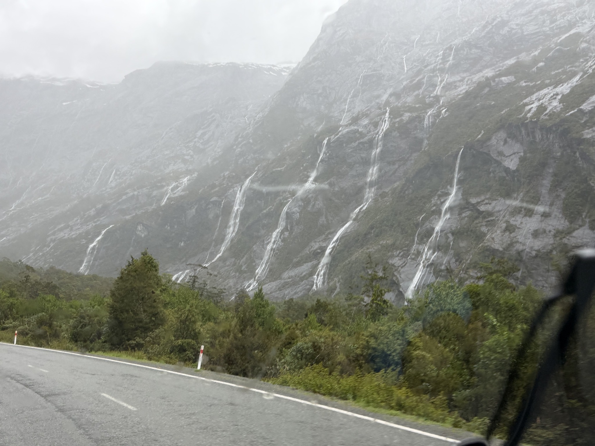
A rainy morning lead to hundreds of waterfalls:

Waterfalls

Waterfalls

Waterfalls

Waiting to go back through Homer Tunnel:

Waterfalls

Waterfalls and tunnel

Tunnel

Tunnel

Tunnel

Tunnel

Tunnel

Waterfalls

Hollyford River:

Hollyford River

Morning snack at Alpine Centre Cafe in Te Anau:

Alpine Centre Cafe

Alpine Centre Cafe

Sheep:

Sheep

Lunch at Route 6 Cafe in Lumsden:

Route 6 Cafe

Route 6 Cafe

Route 6 Cafe

Mountains

Lake Wakatipu:

Lake Wakatipu

Lake Wakatipu

Arriving at Driftaway Queenstown, where we spent three nights (the longest stay of this trip):

Driftaway Queenstown

Driftaway Queenstown

Our waterfront site:

Our site

Power and water:

Our site

Our site

Other sites:

Other sites

Other sites

Jump pad:

Jump pad

Shower:

Shower

Laundry:

Laundry

View out our front window:

View out our front window

Our site