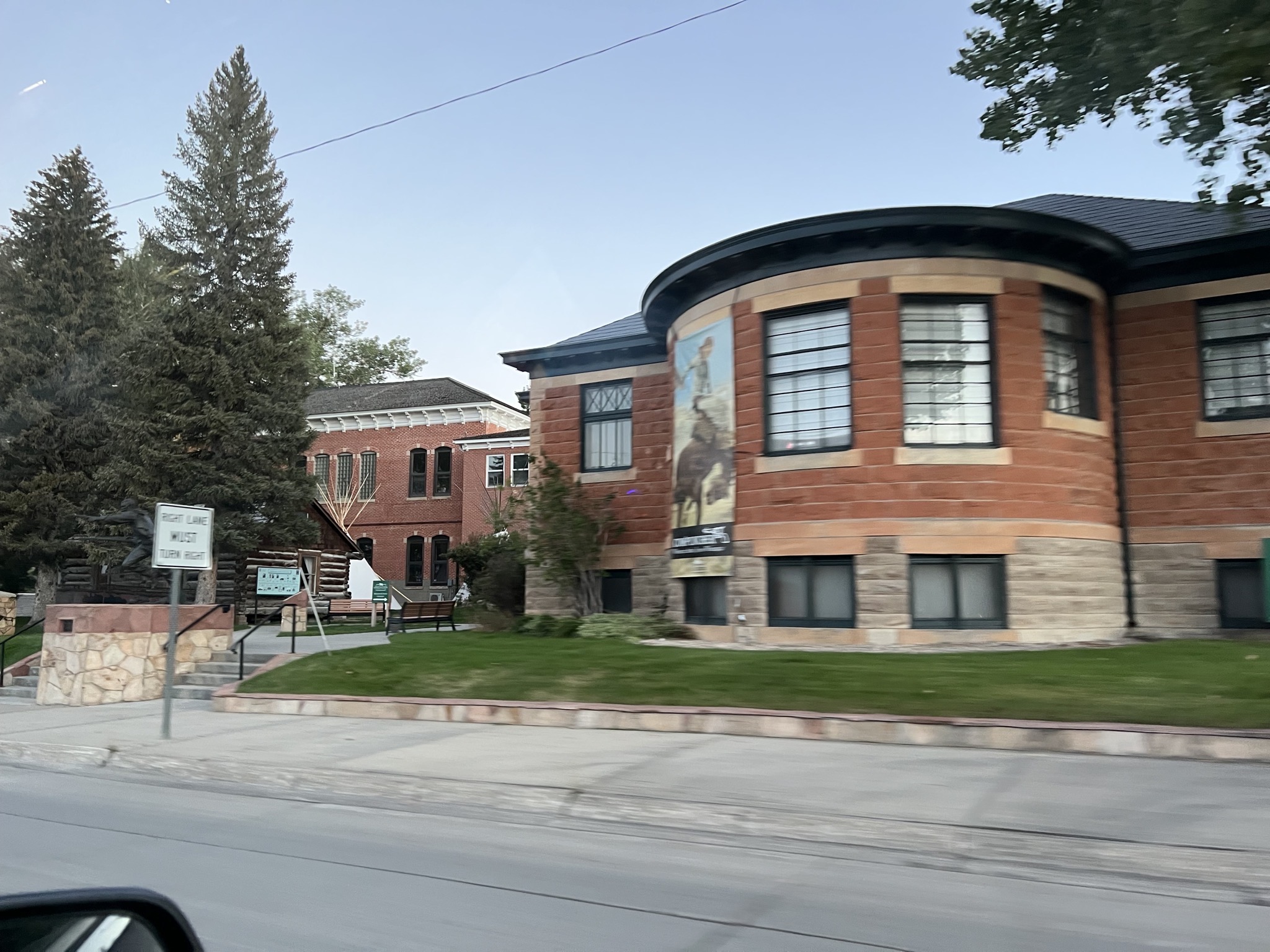
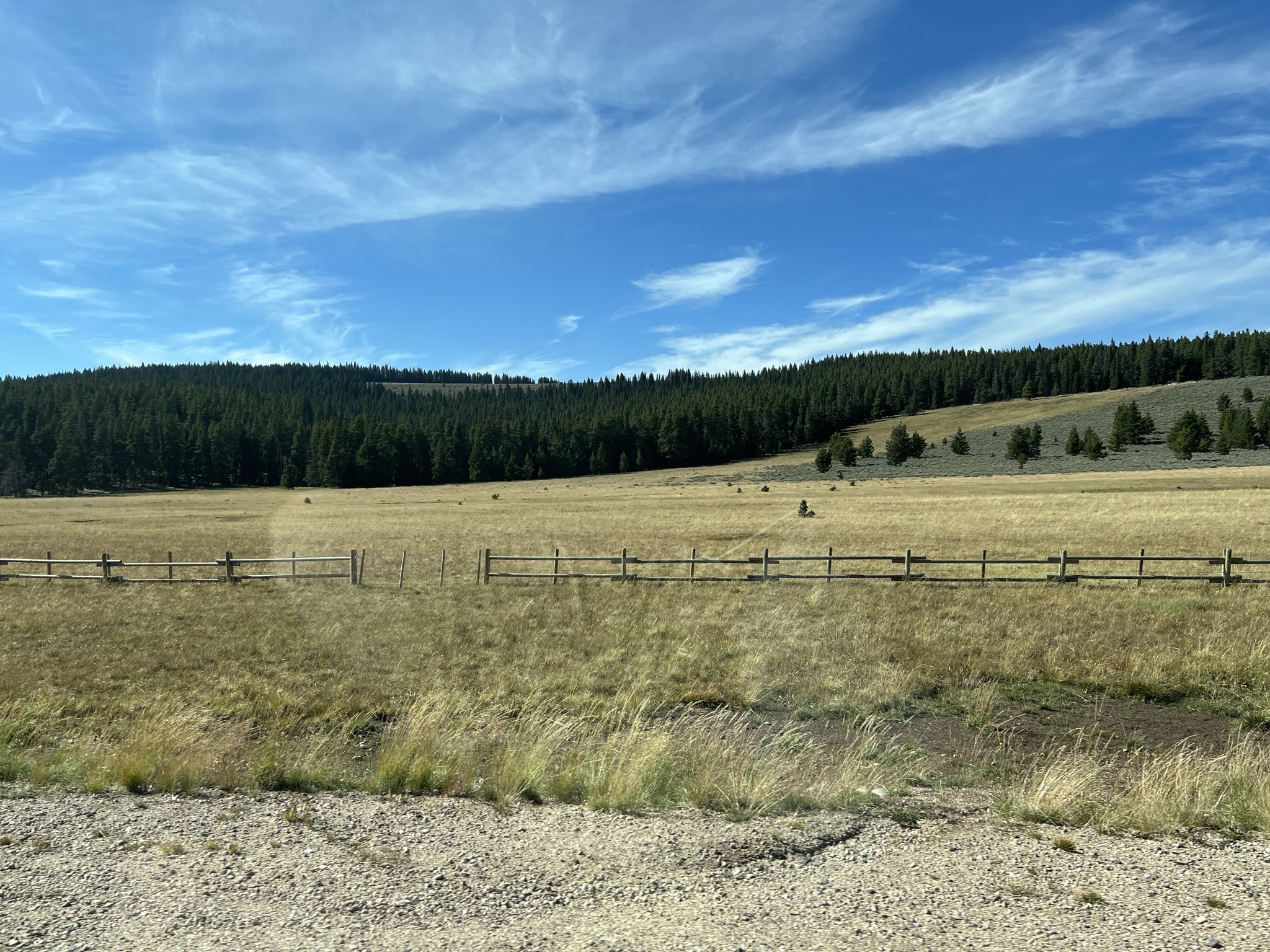
We took a day trip drive though Bighorn National Forest in Wyoming.
We started by going to Sheridan to get our second COVID boosters, then went west along US-14 though the forest (zoom in on the map; some fun twisties there). Then looped anticlockwise around to US-20, -31, and -16, passing through the forest again. Here’s an interactive route map:
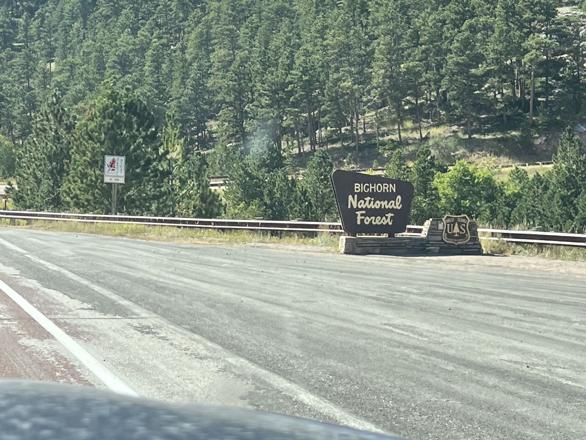
Bighorn National Forest sign:
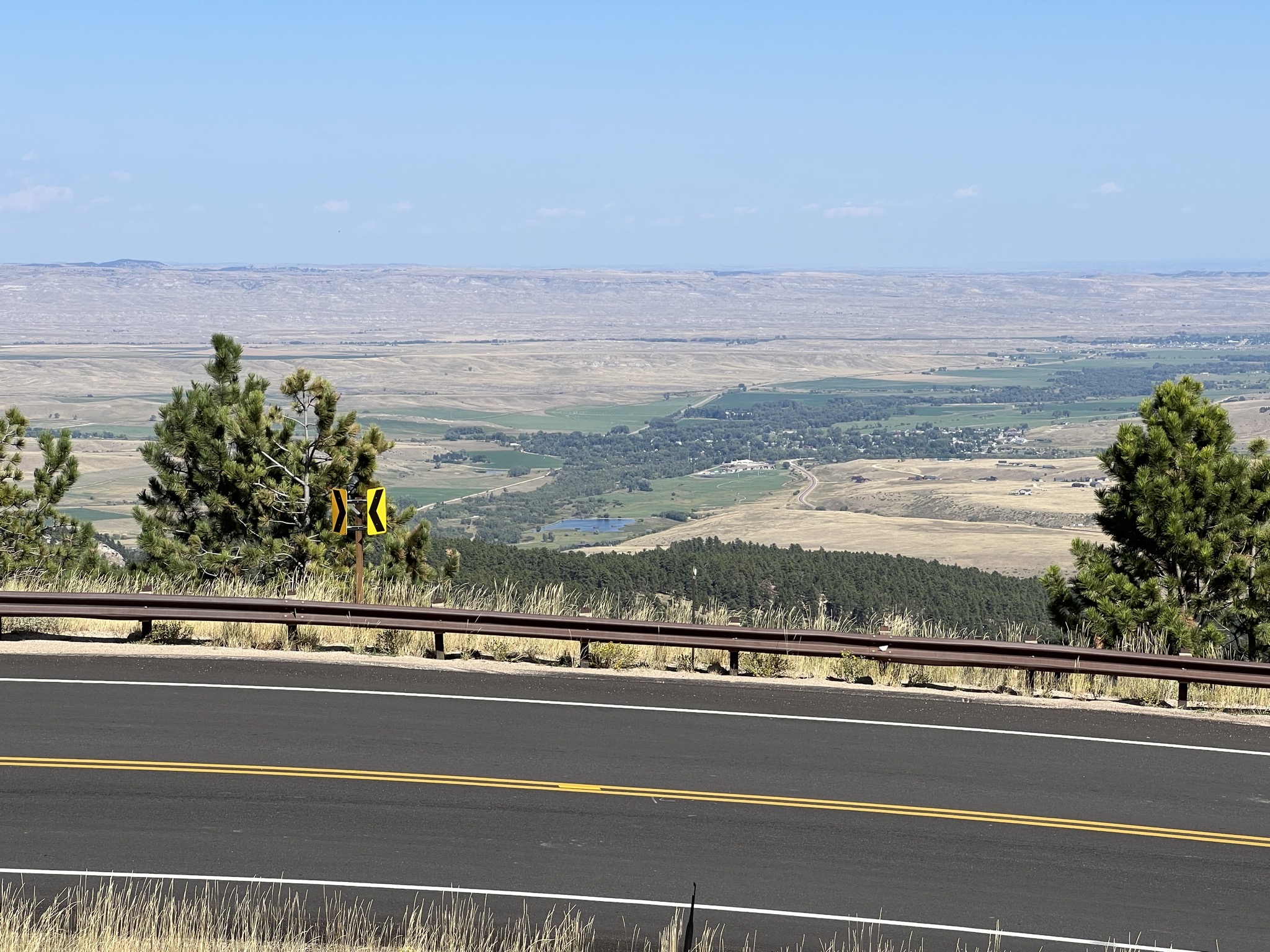
Viewpoint:
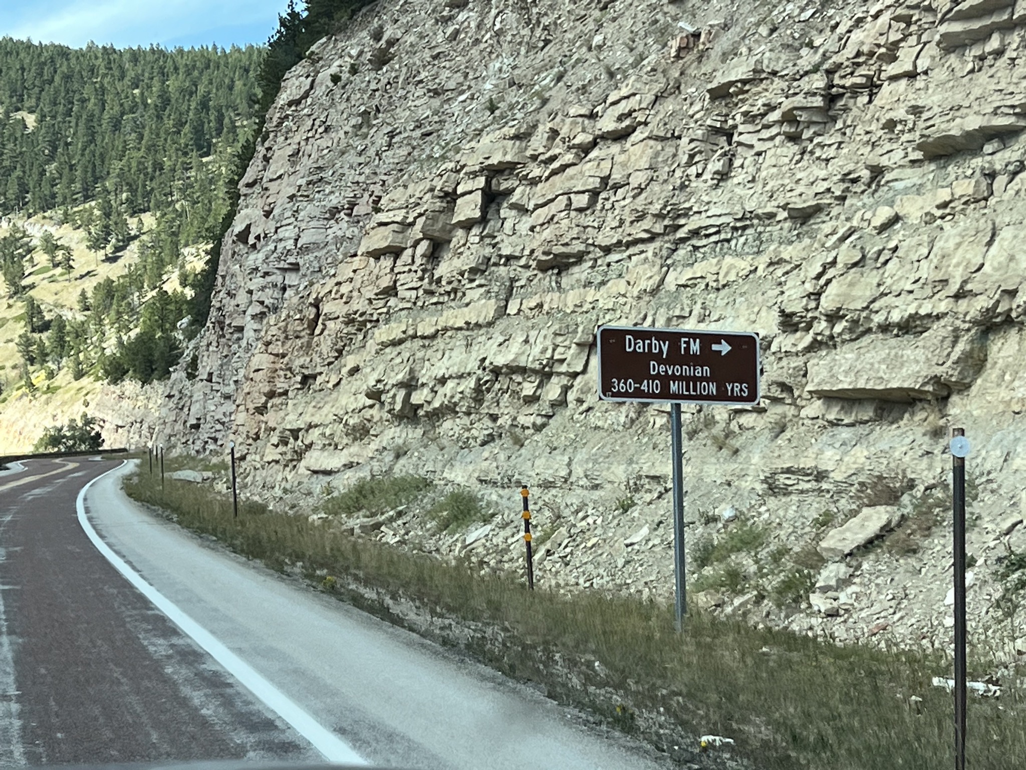
There were geologic signs for the rock formations:
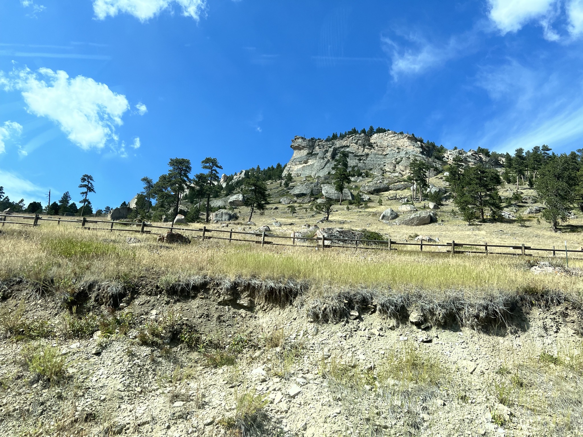
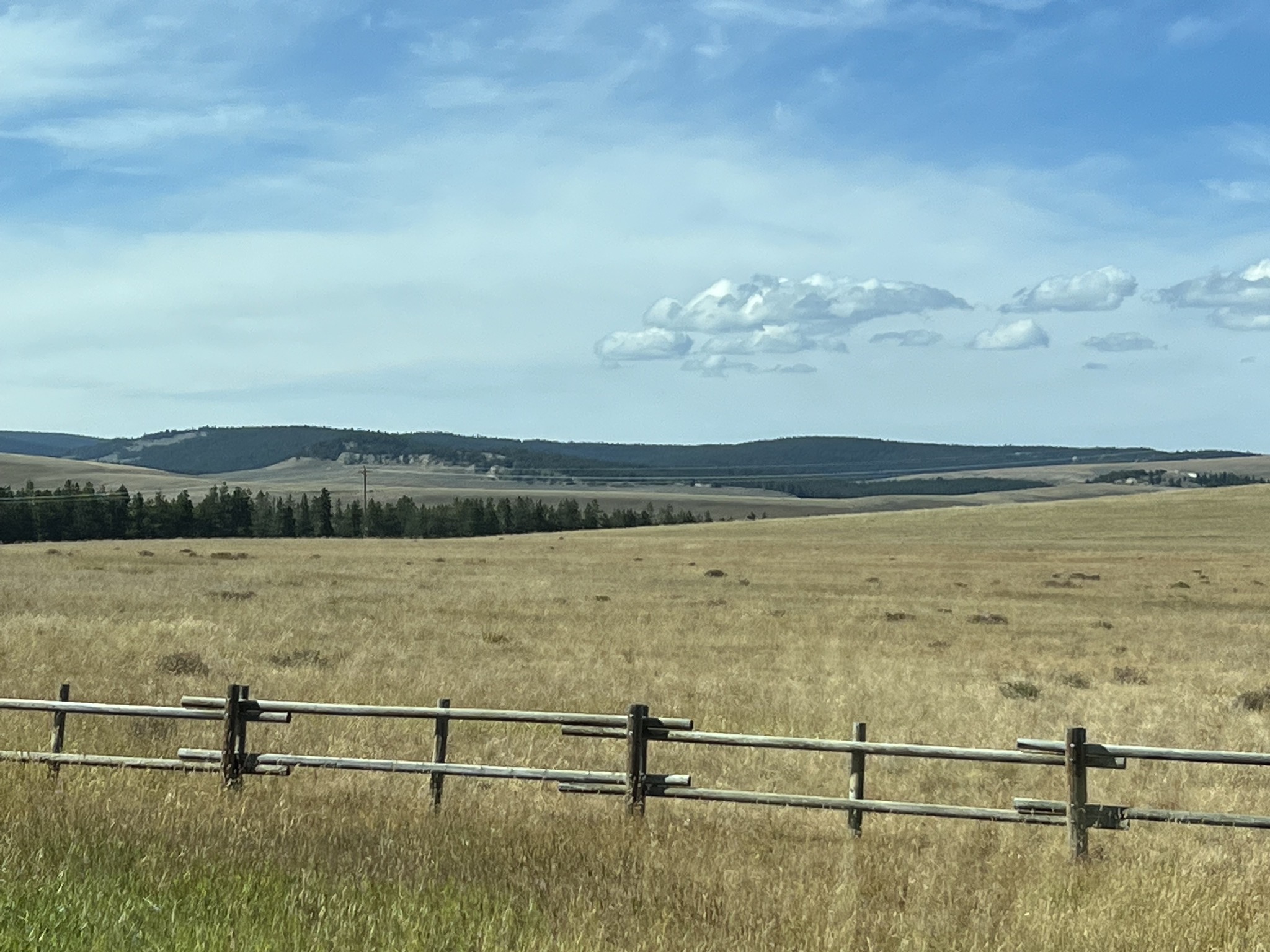
Nice views:
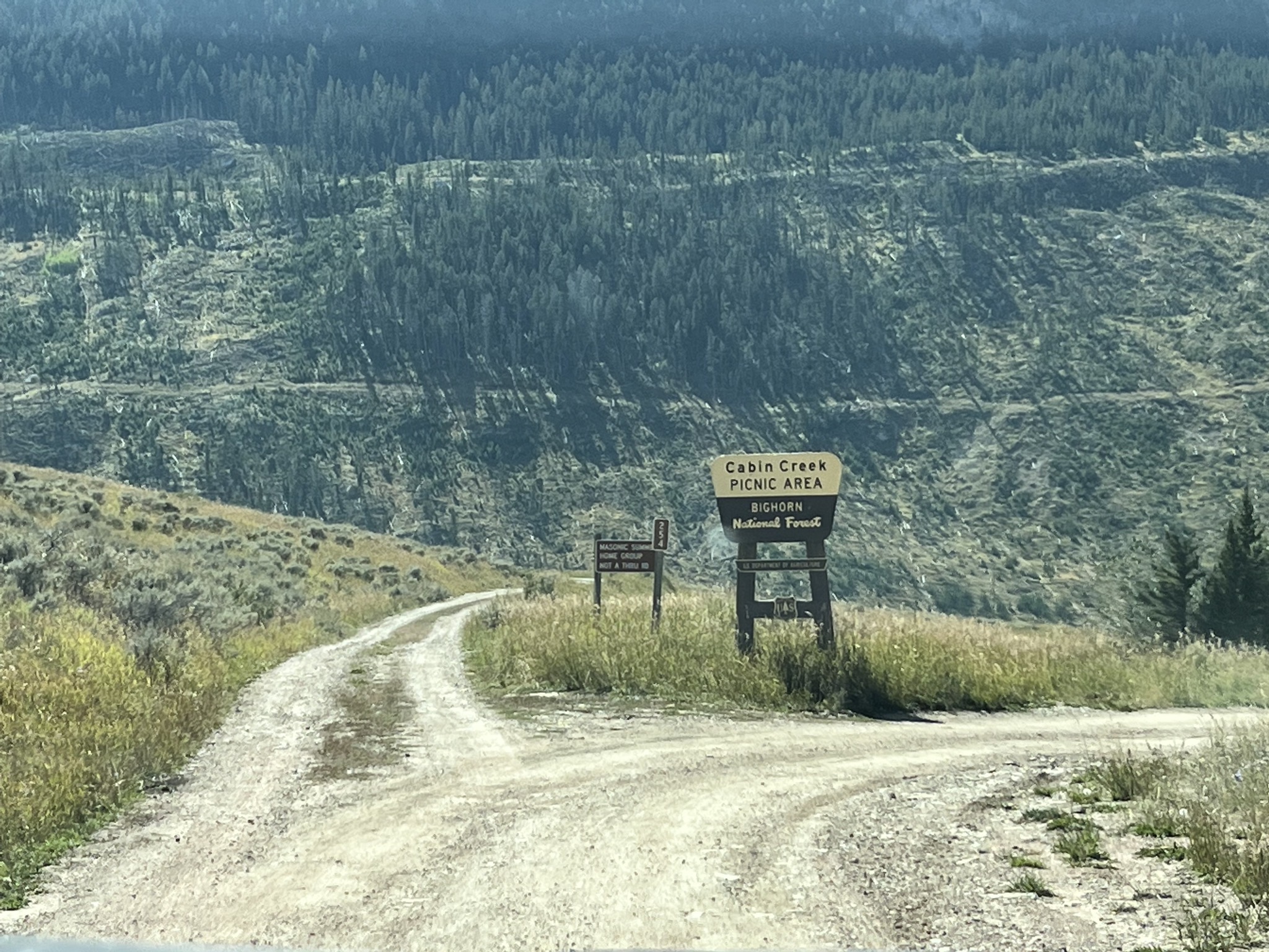
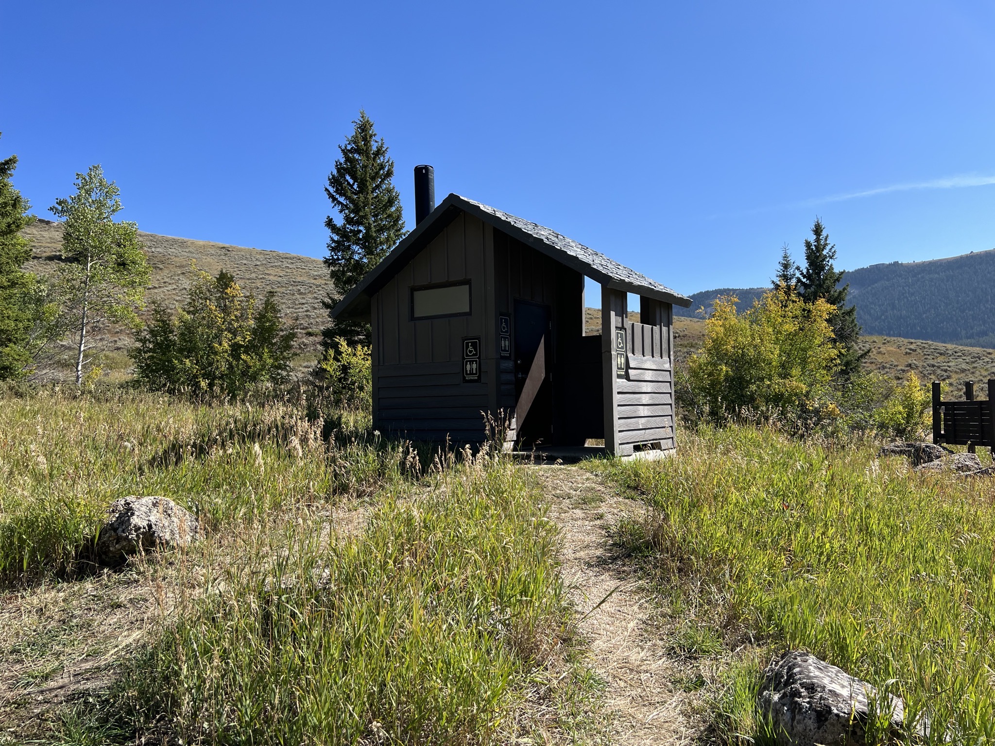
We stopped at the Cabin Creek Picnic Area to use the vault toilet there; there is a nice rest area a little further on, but I suspected (based on research) that it would be closed, and it was, so good thing we stopped here:
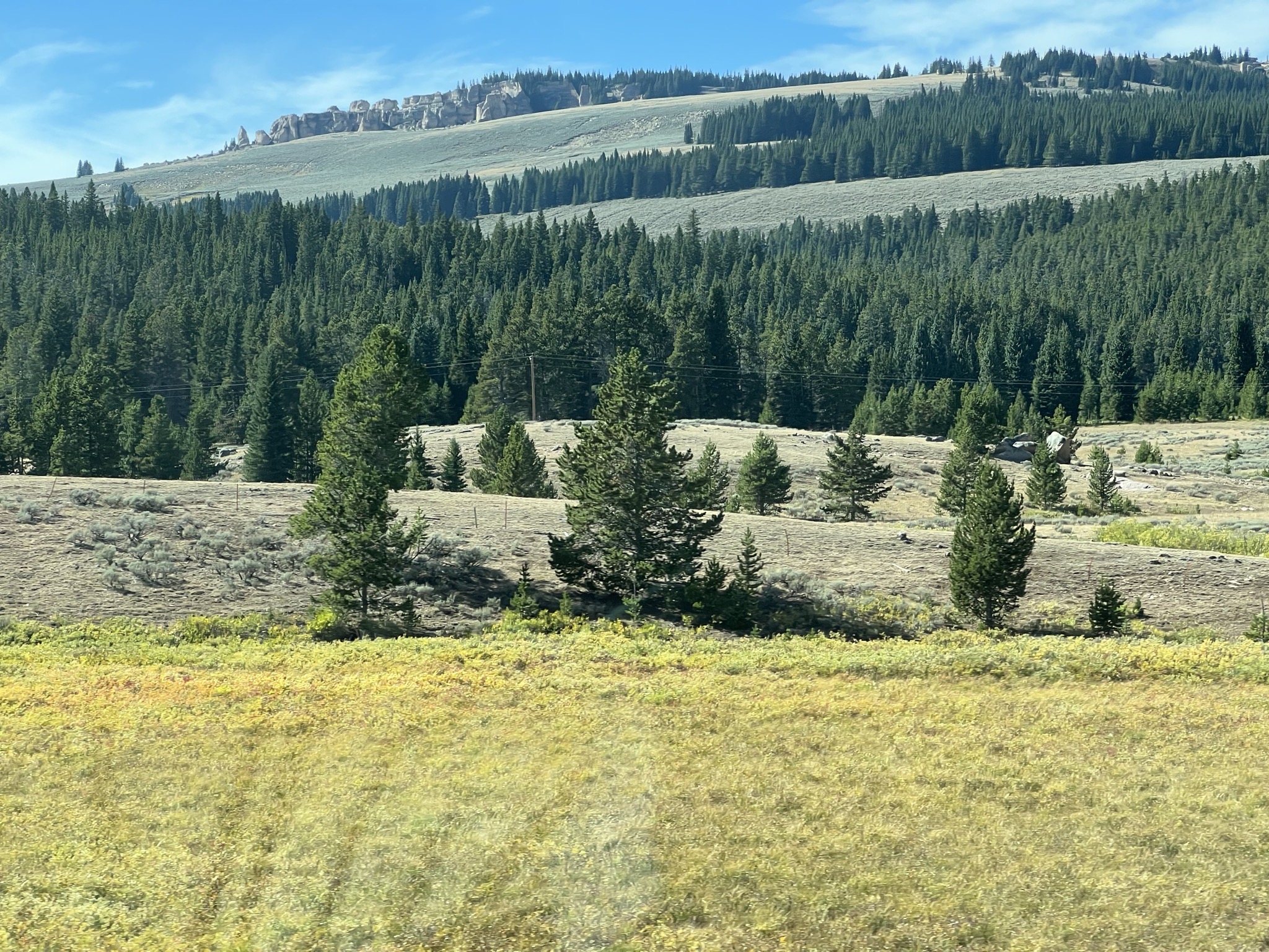
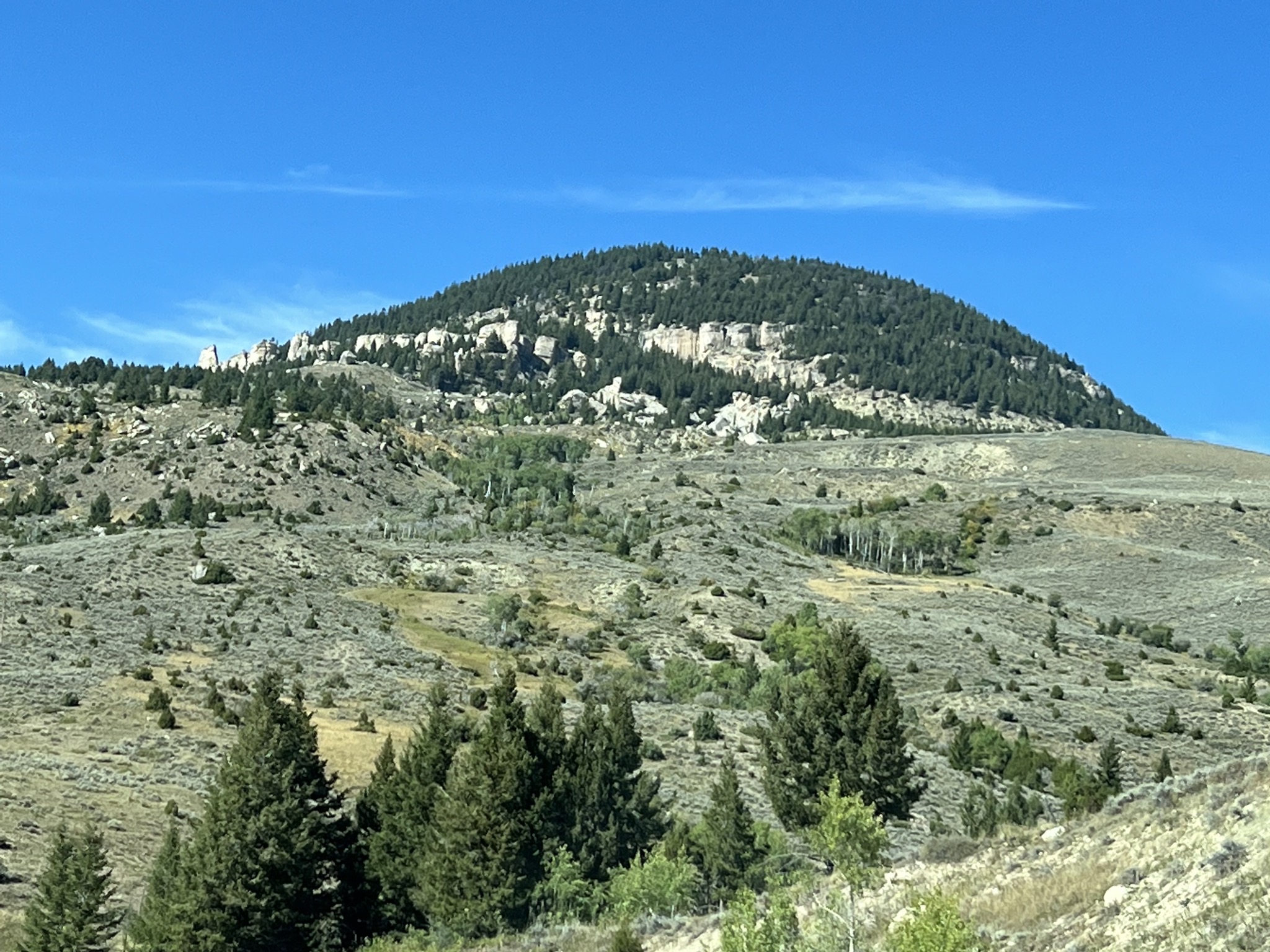
More views:
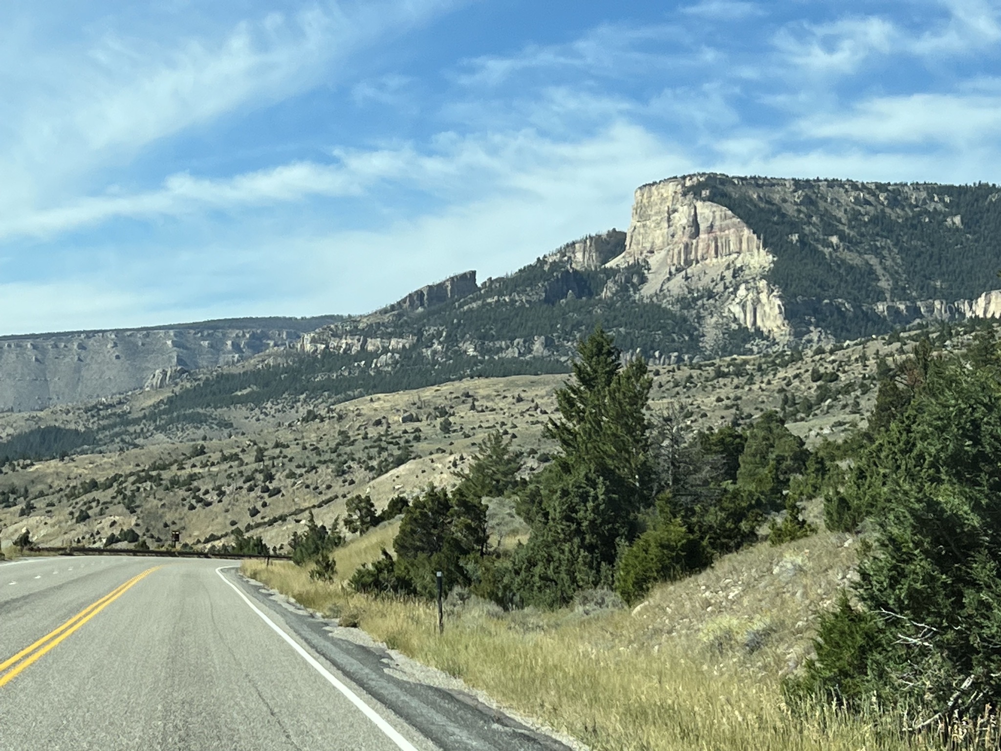
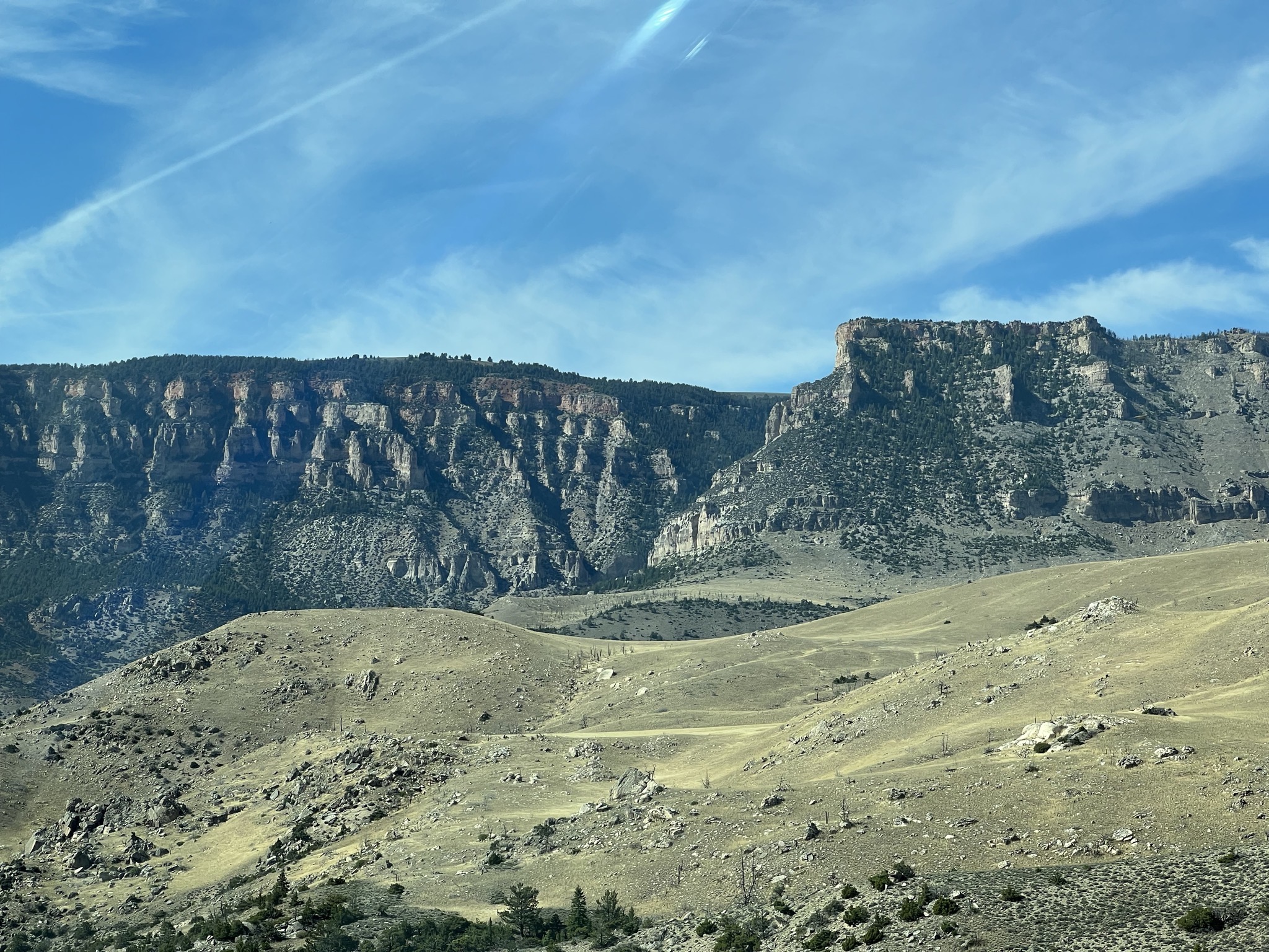
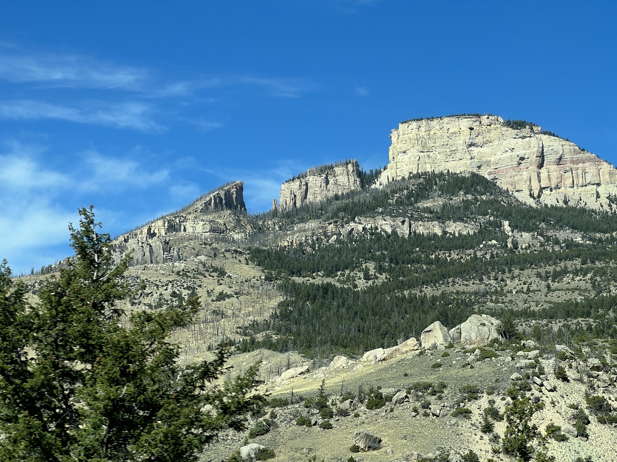
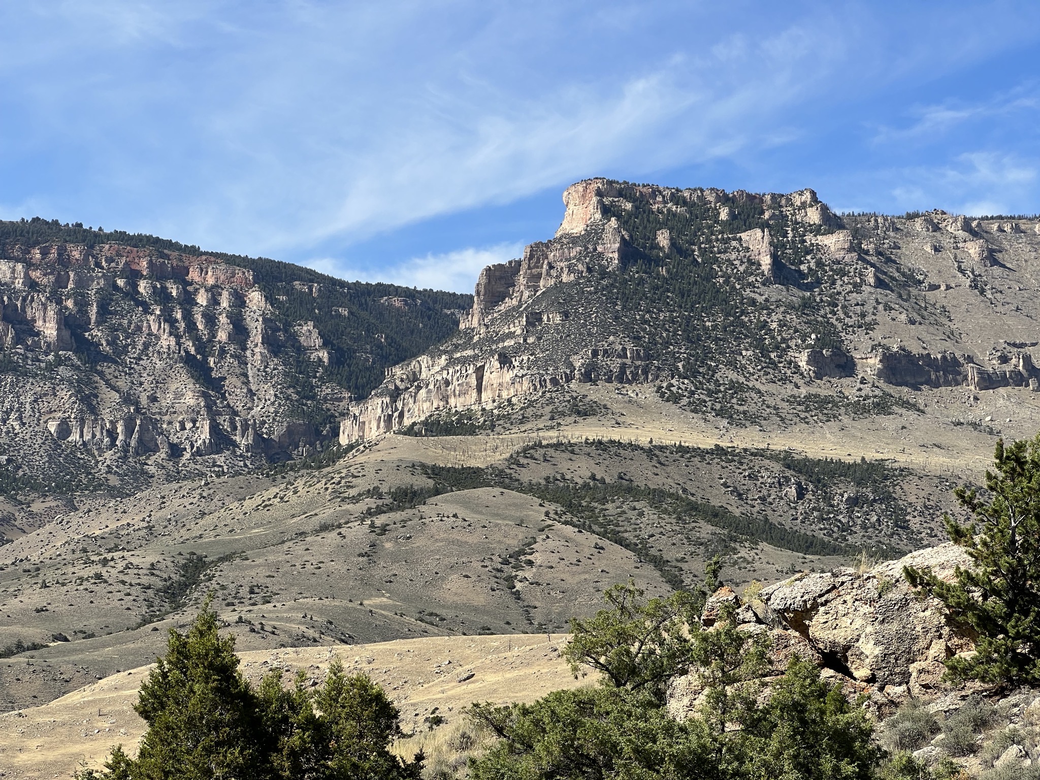
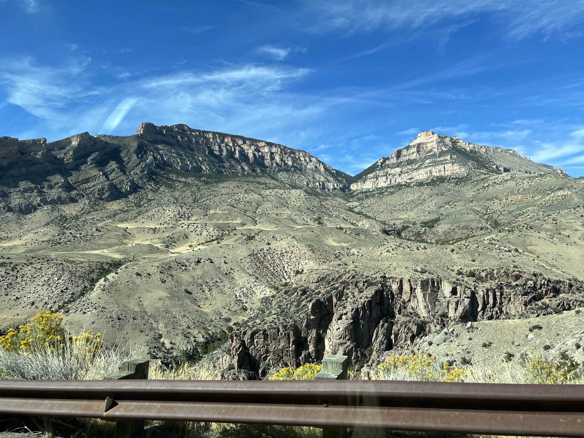
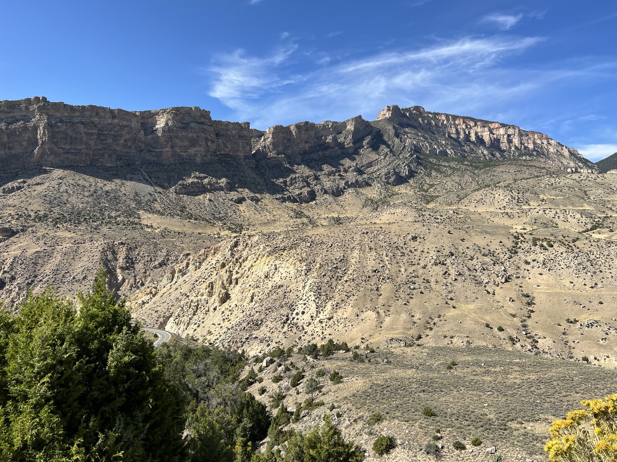
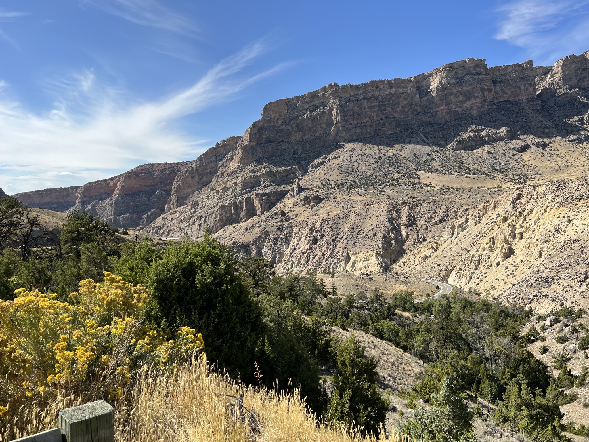
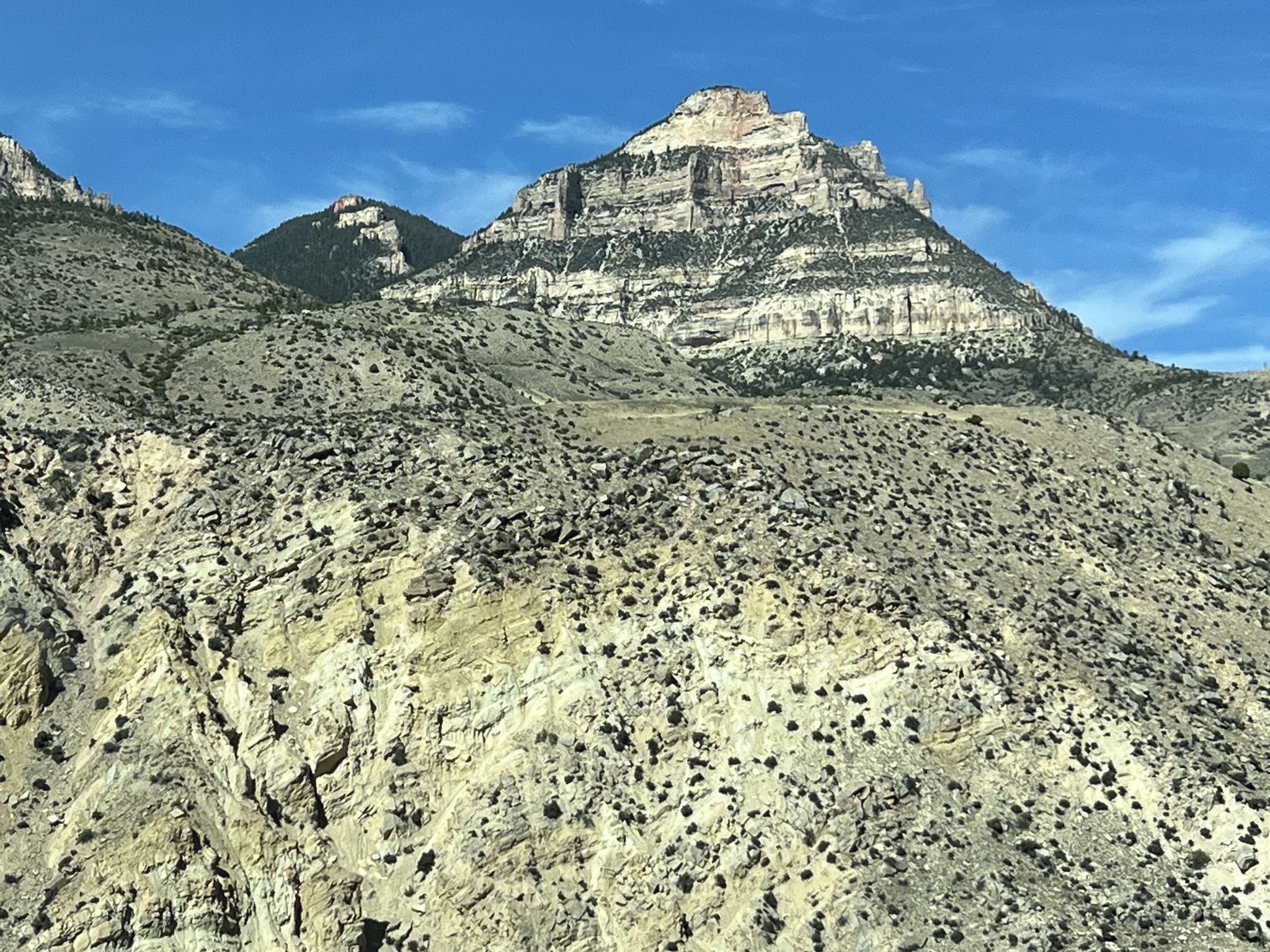
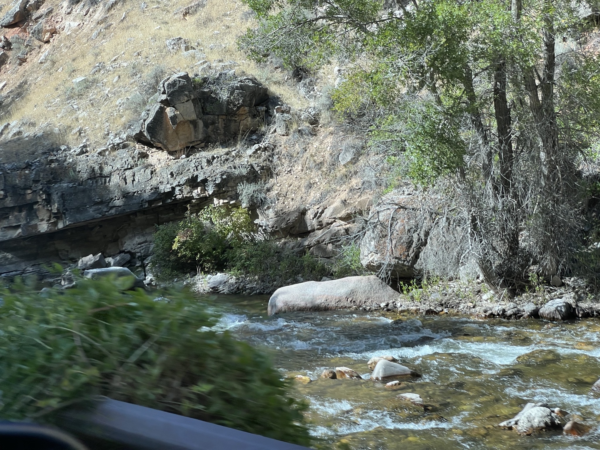
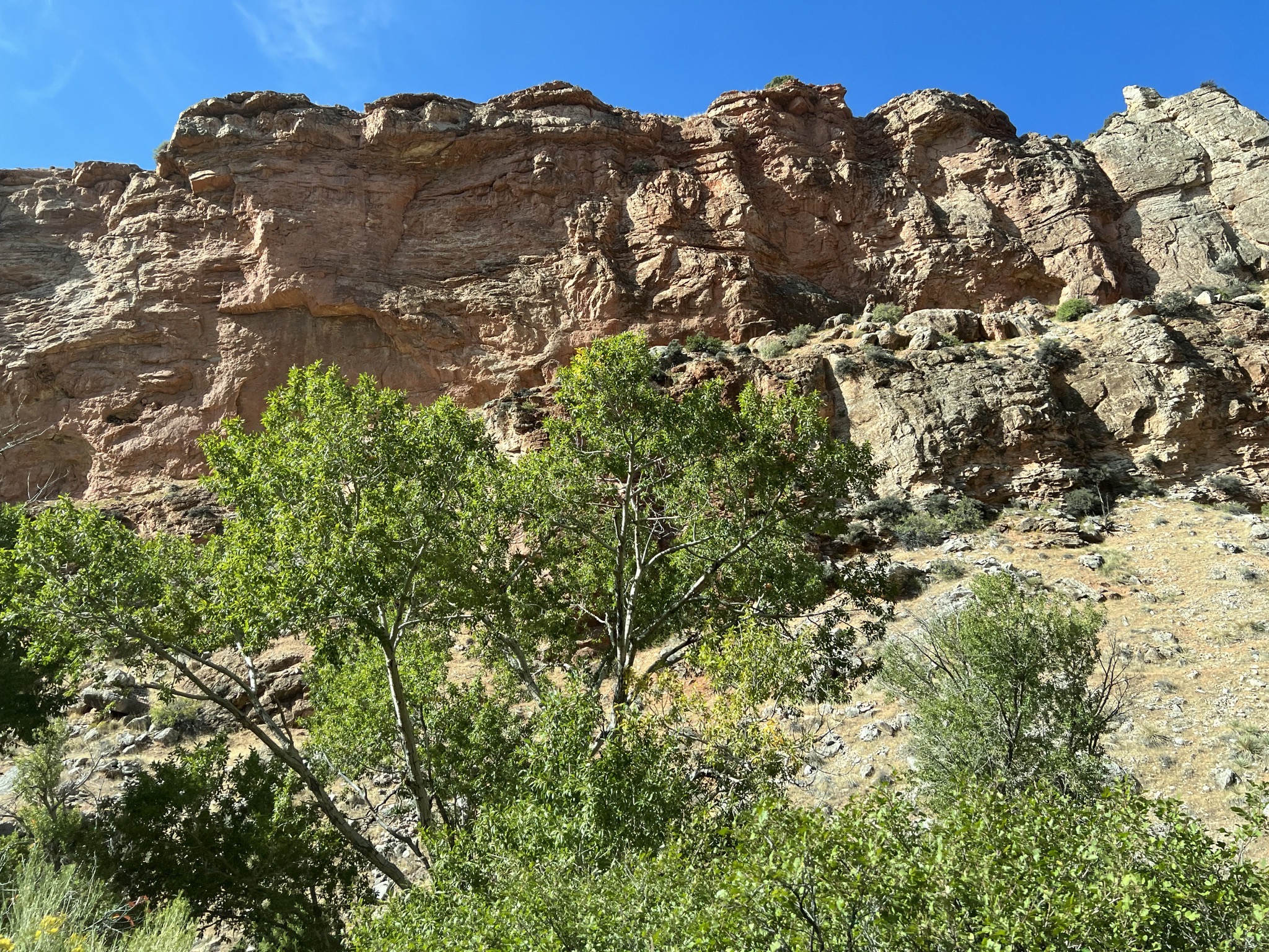
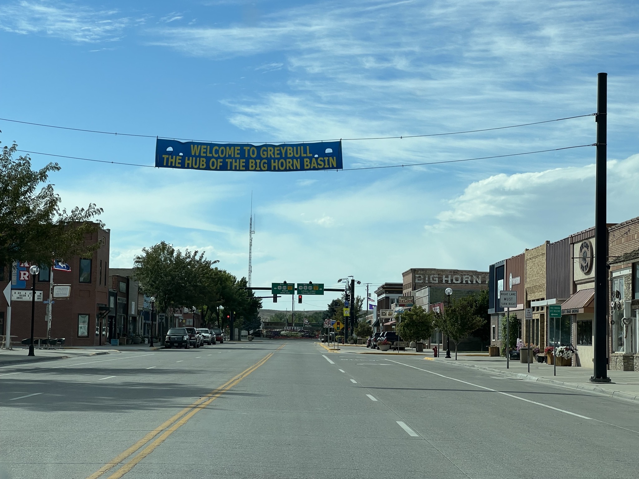
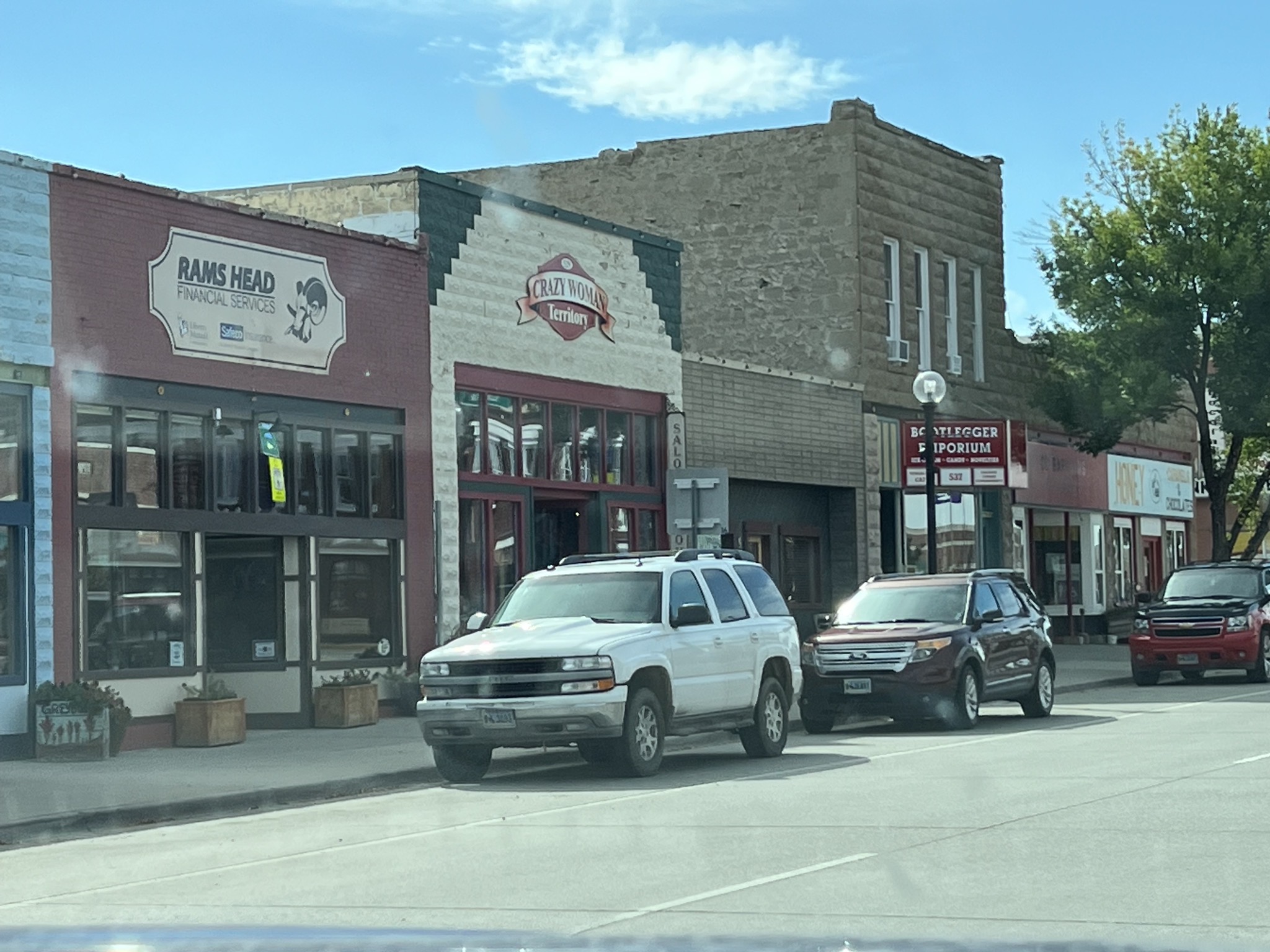
Greybull:
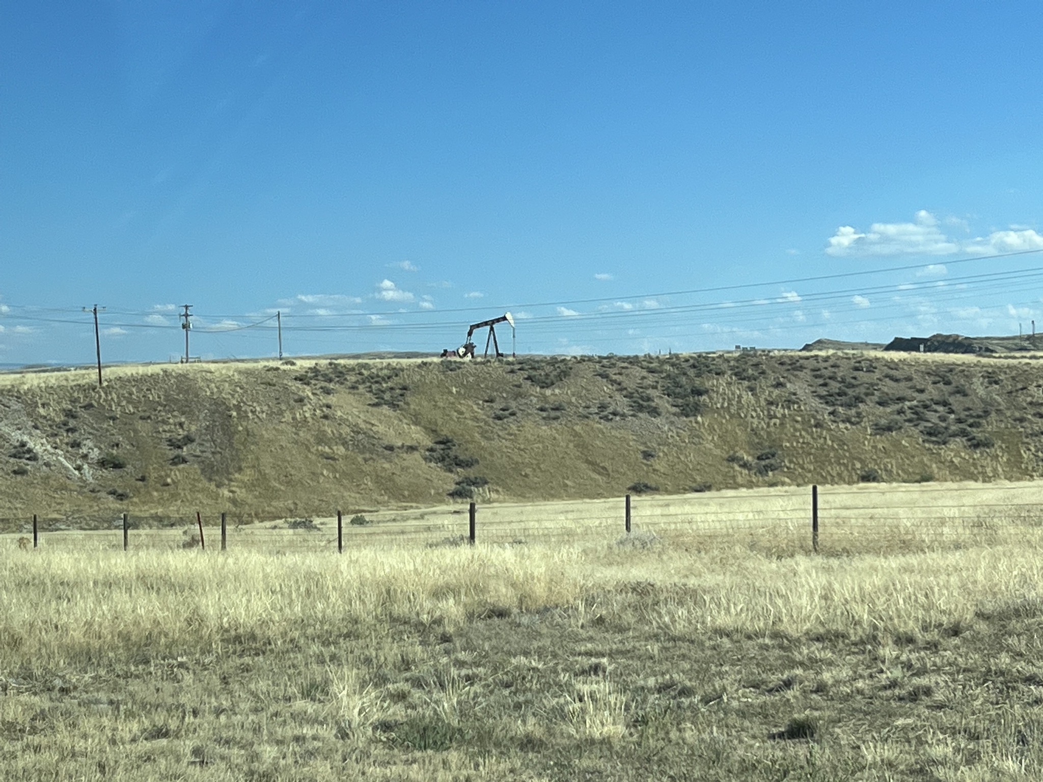
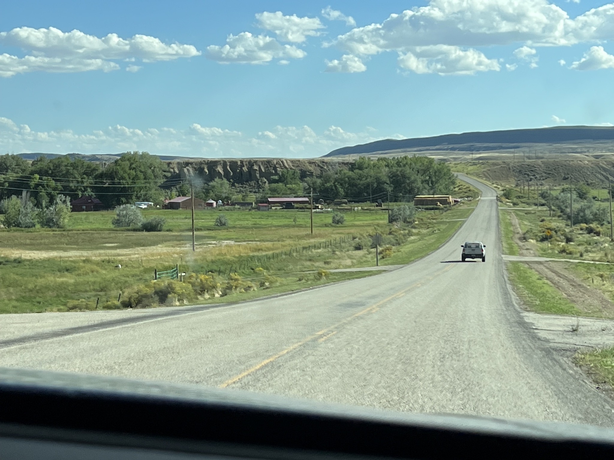
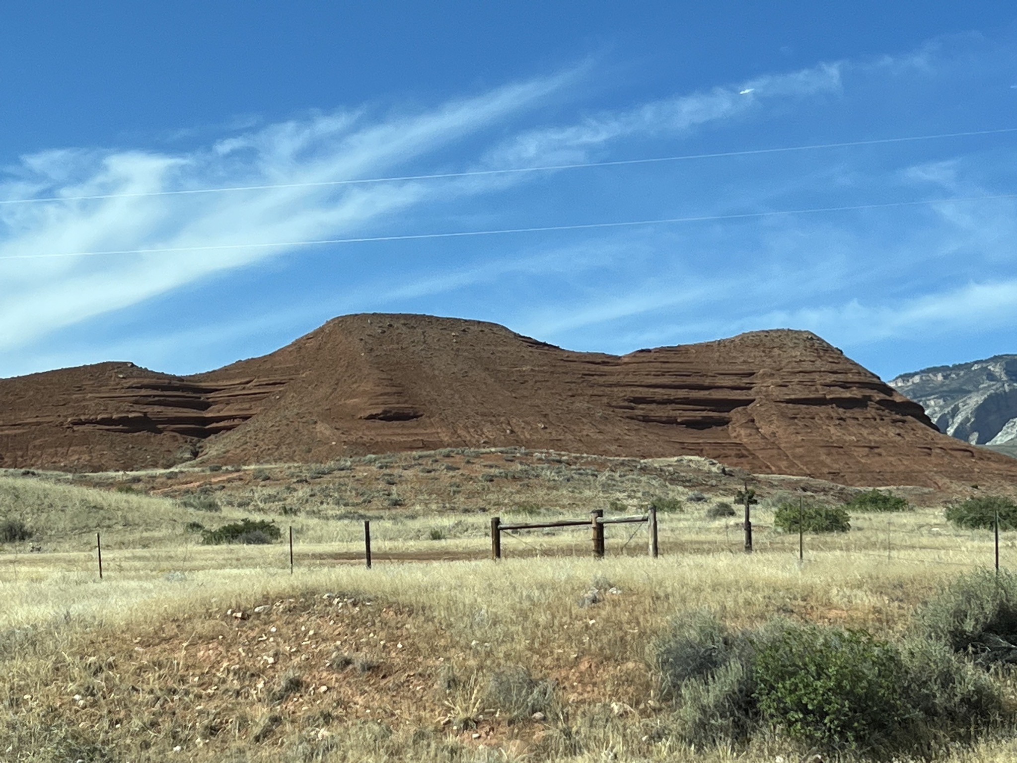
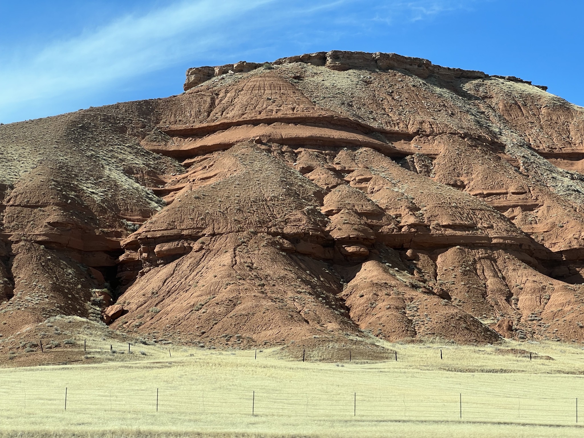
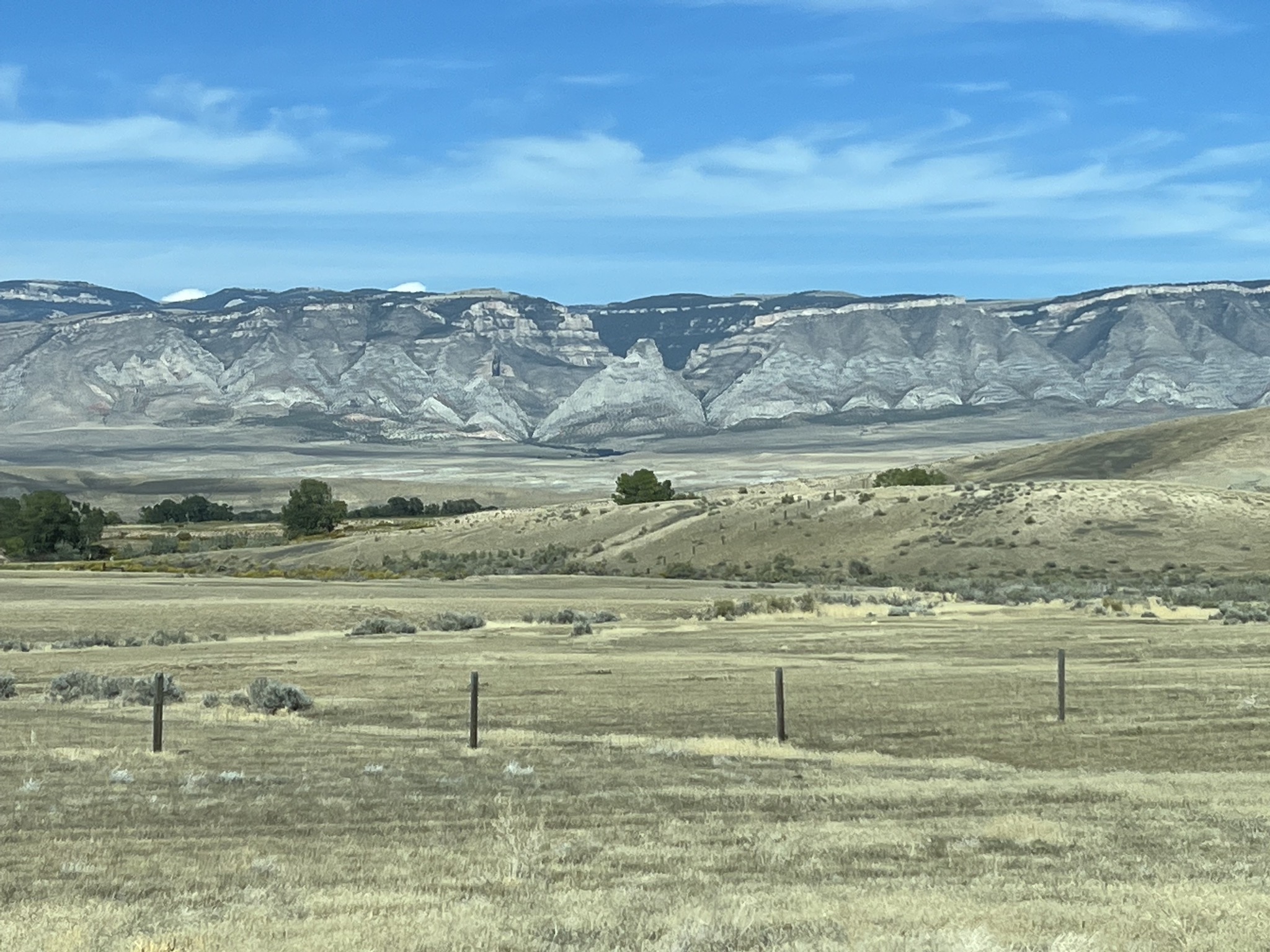
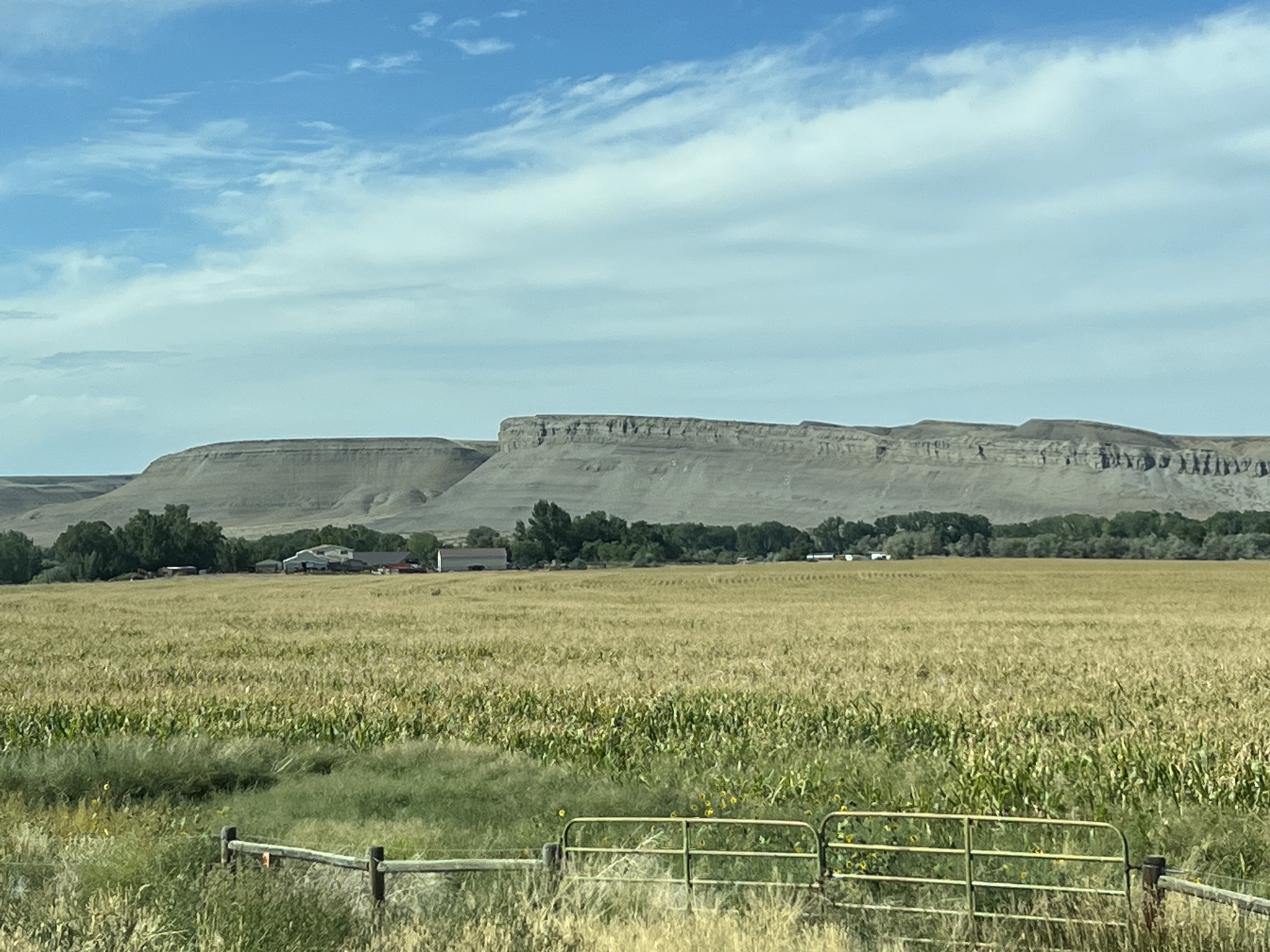
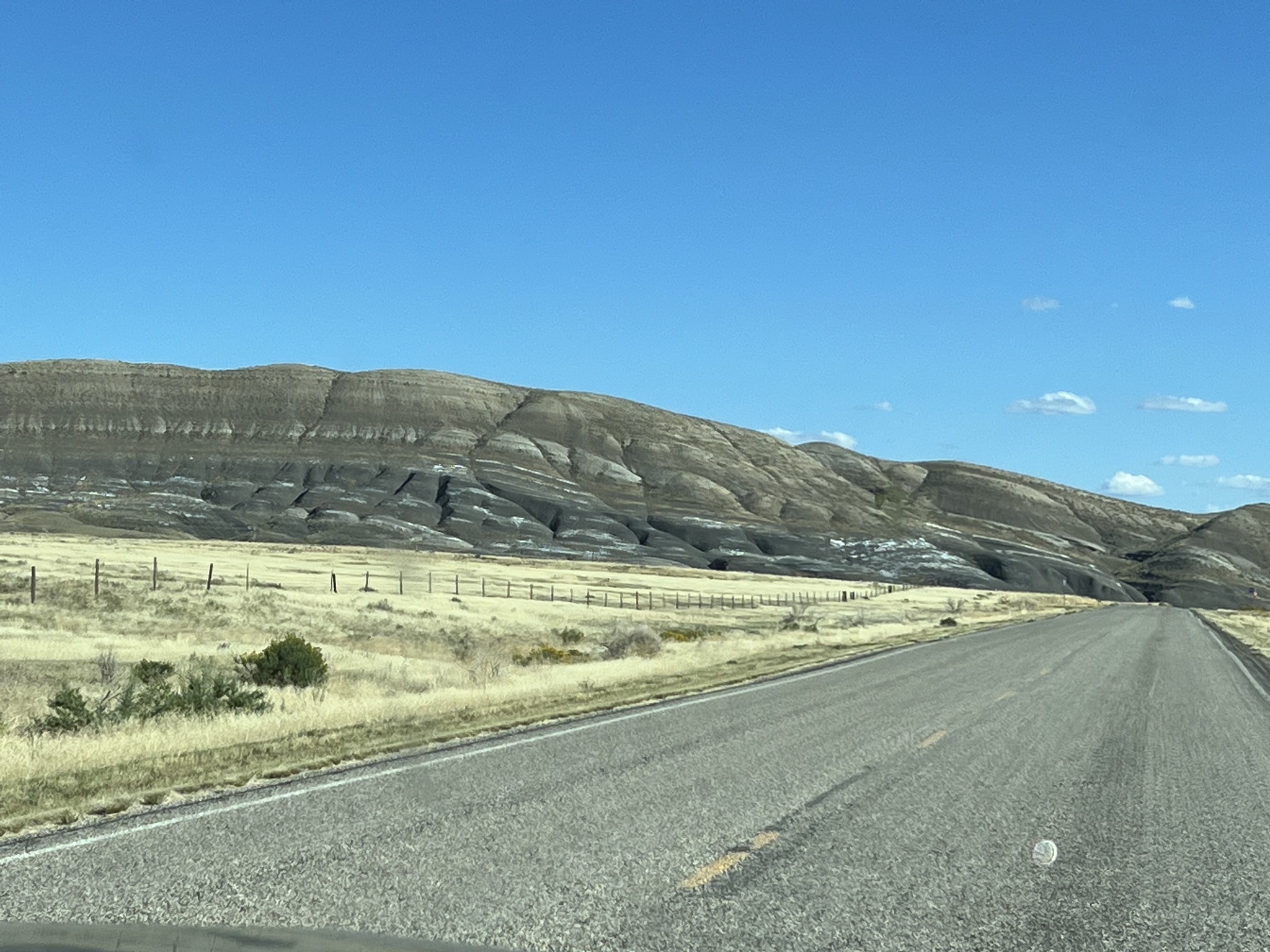
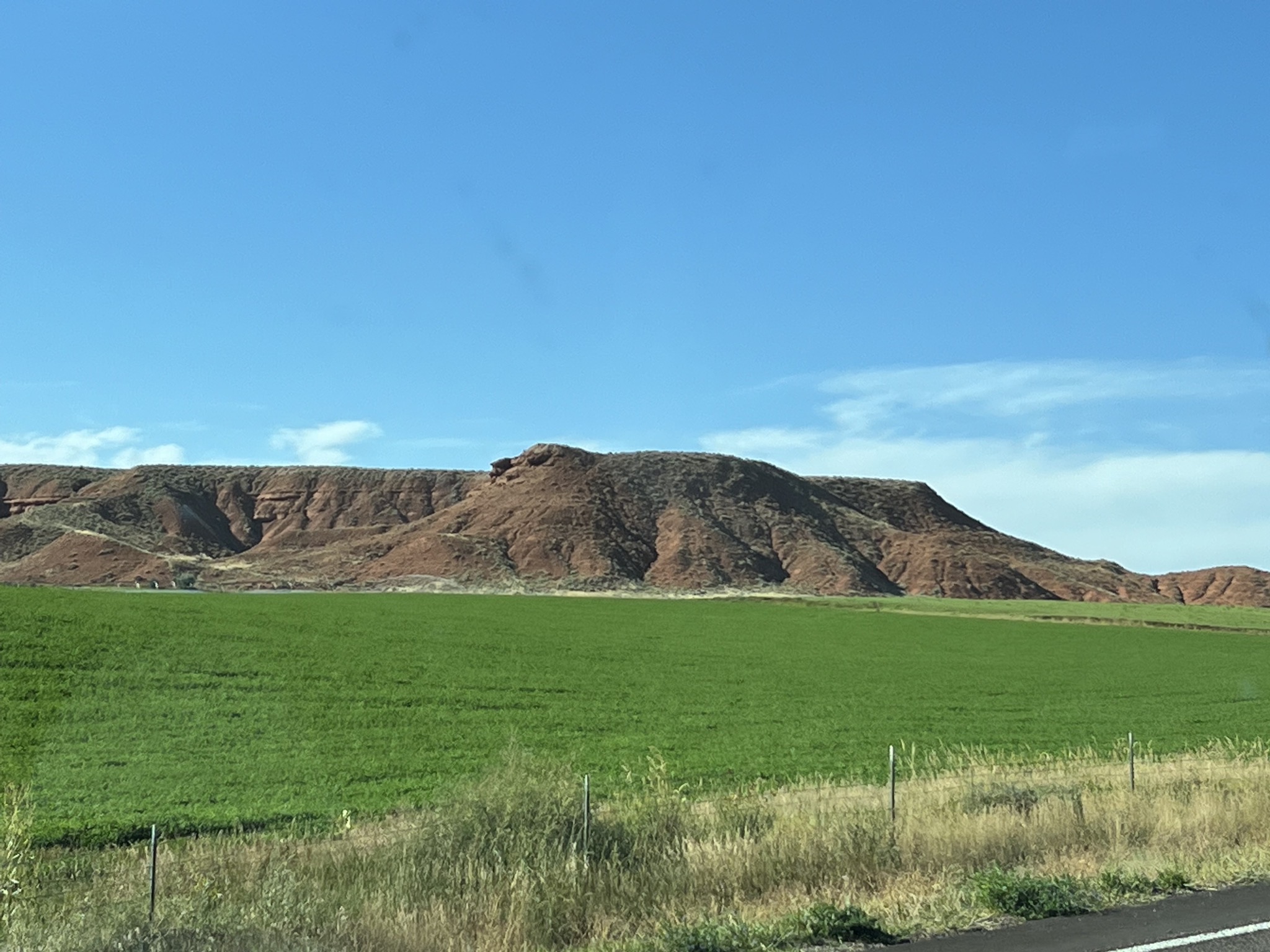
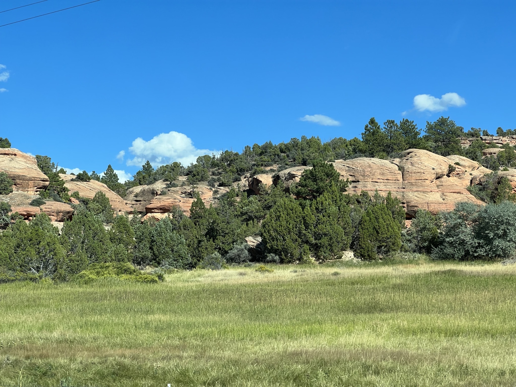
We got a real Utah vibe from this area west of the forest:
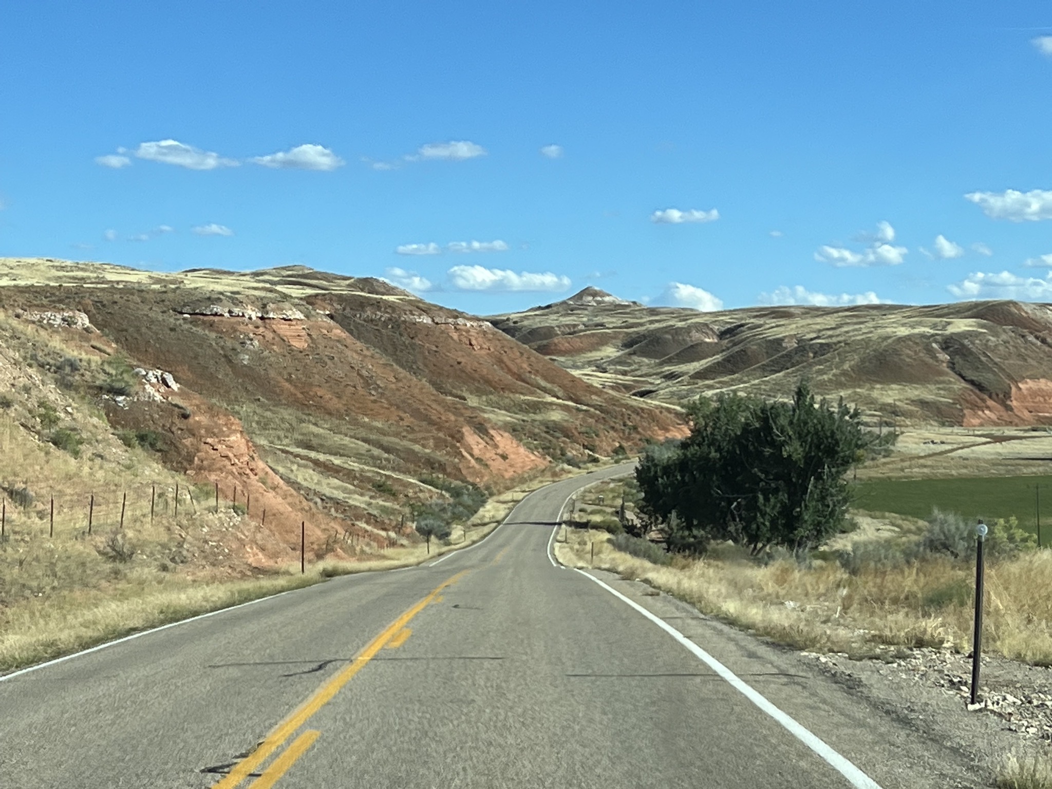
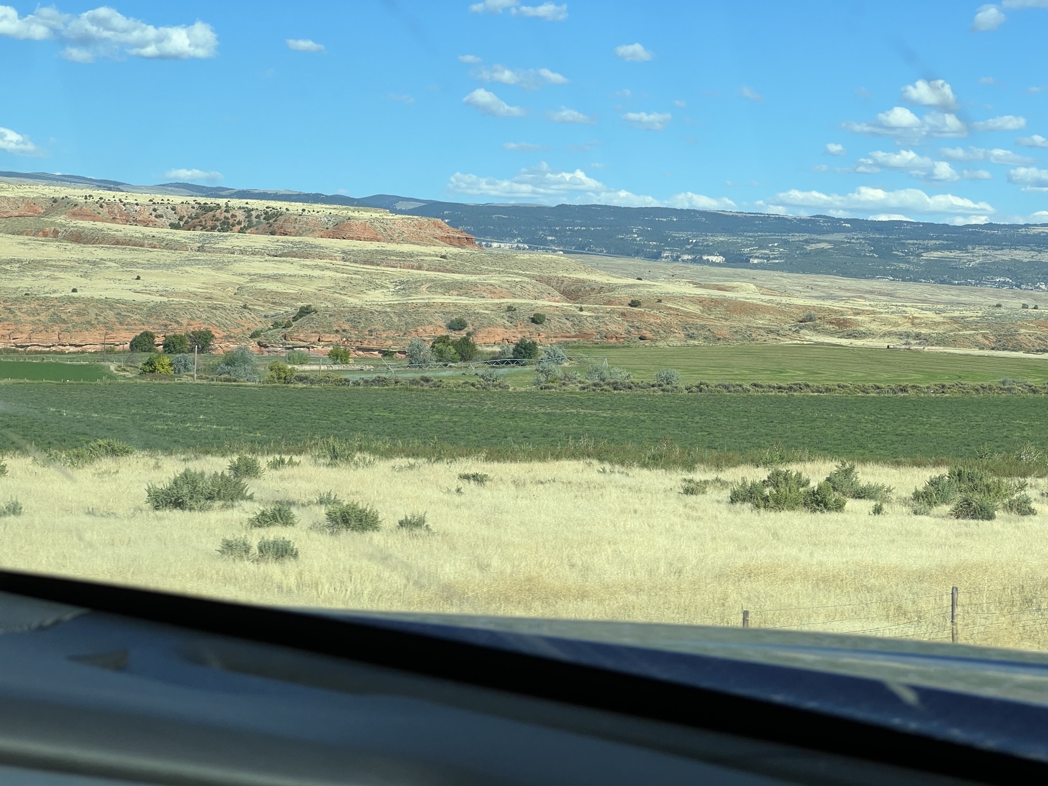
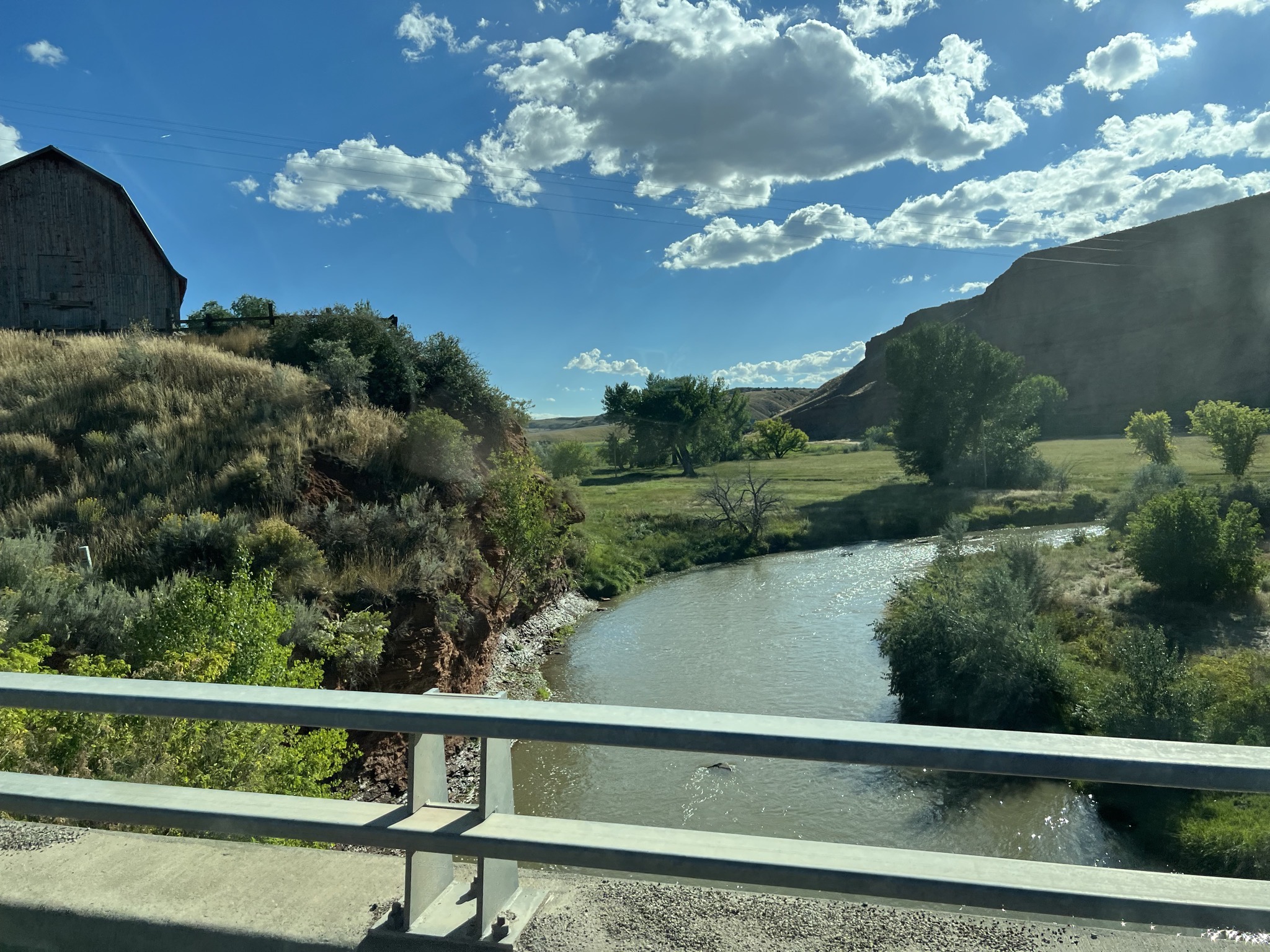
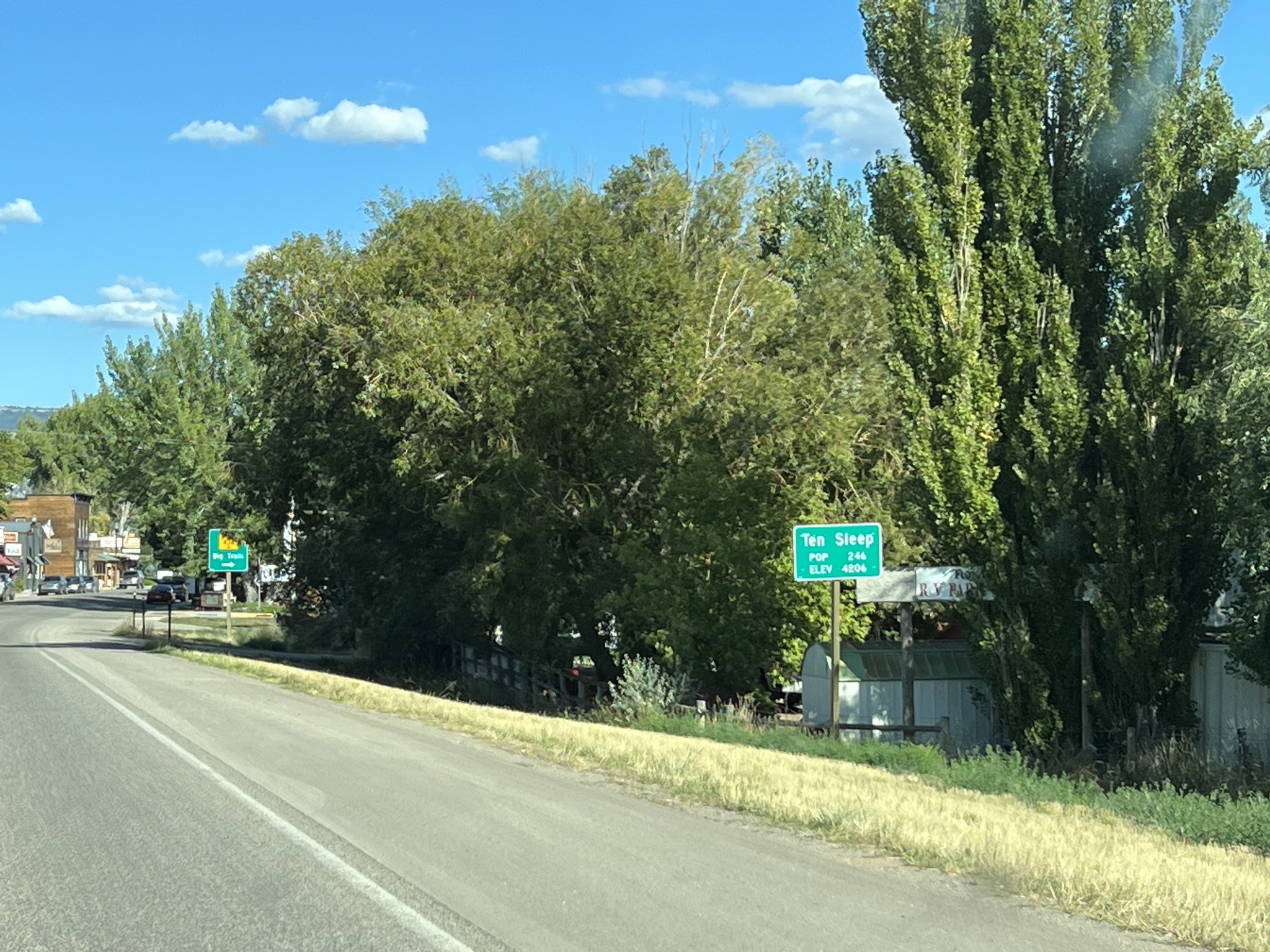
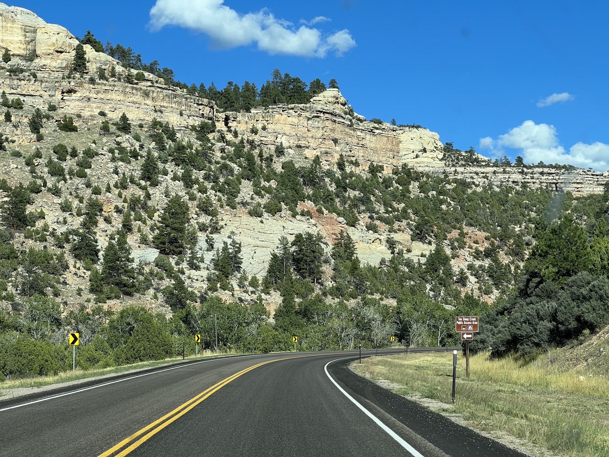
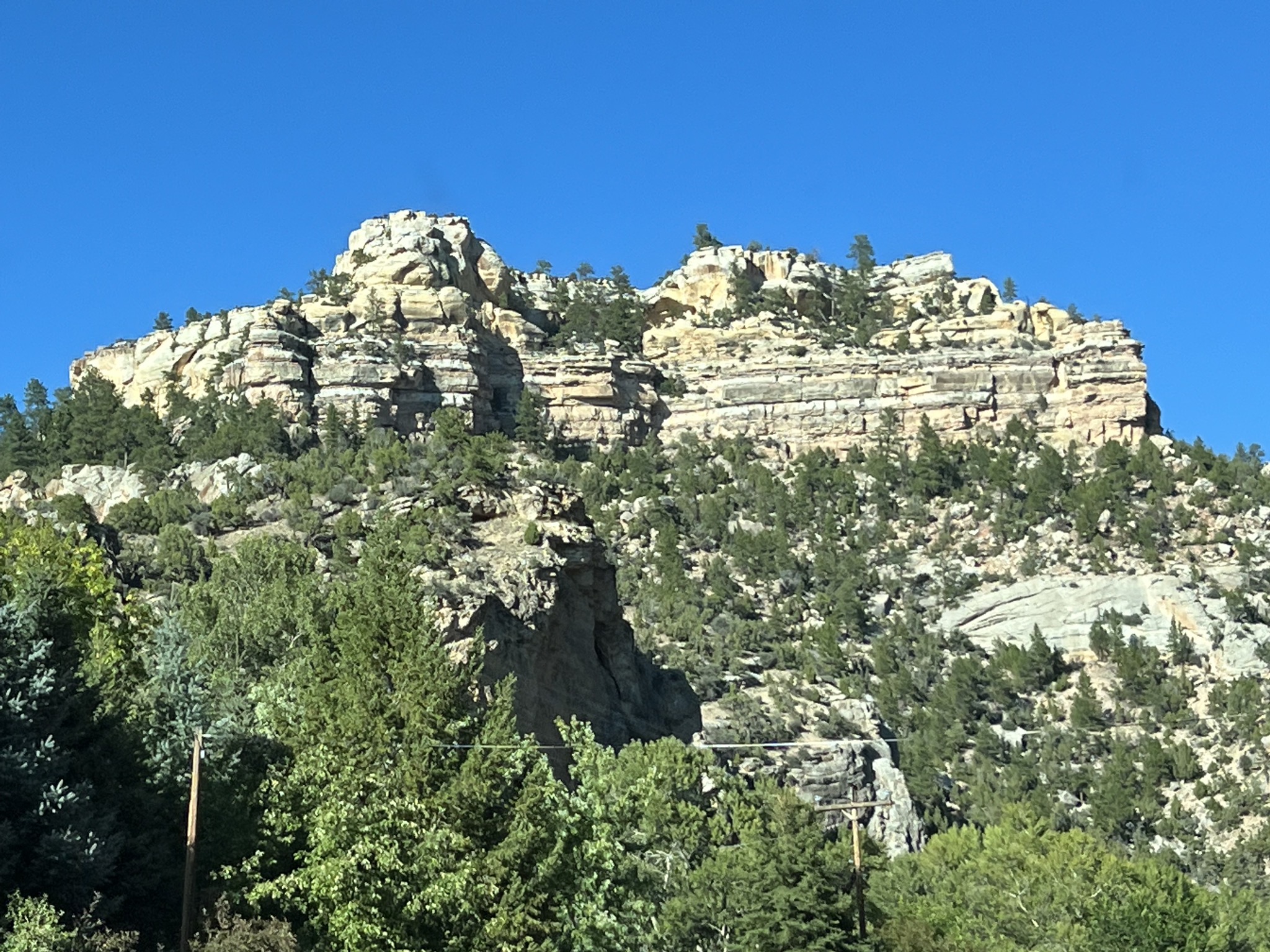
Ten Sleep, population 246:
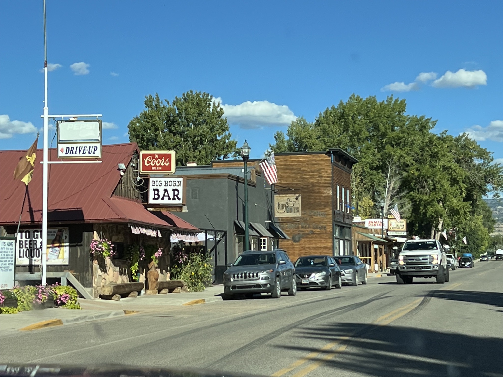
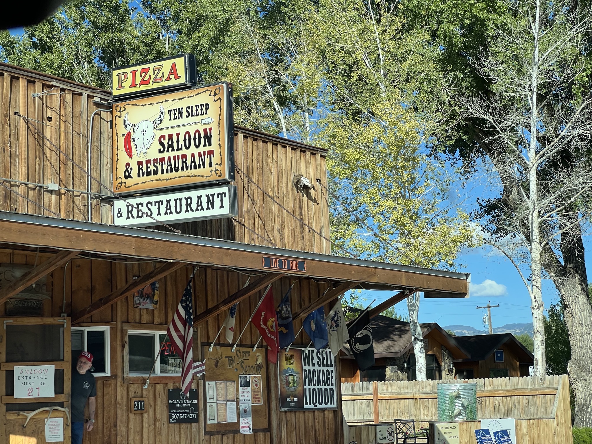
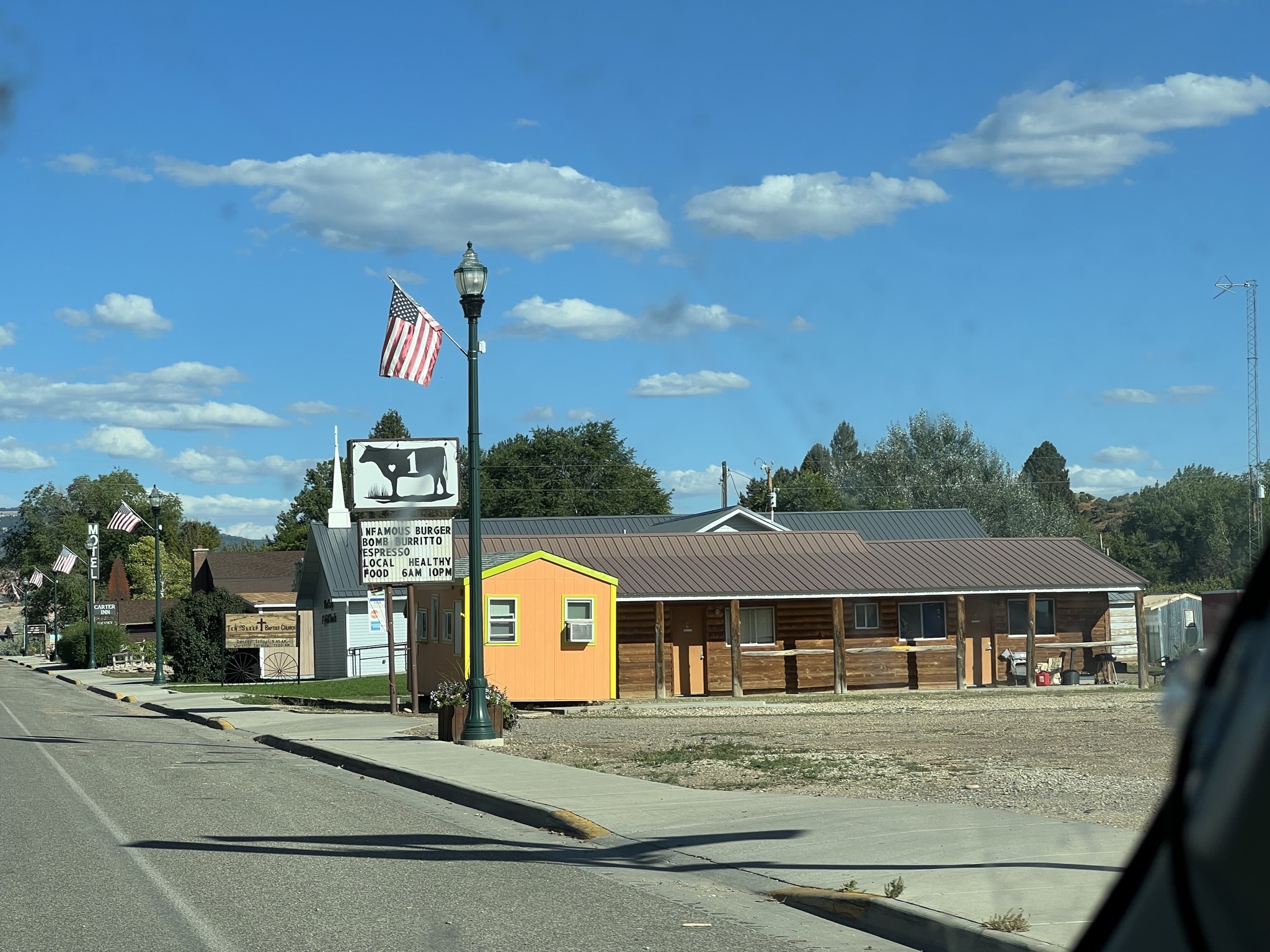
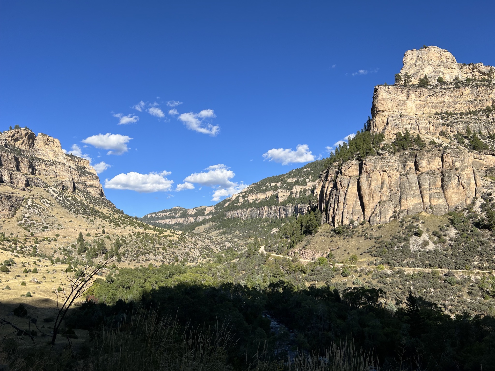
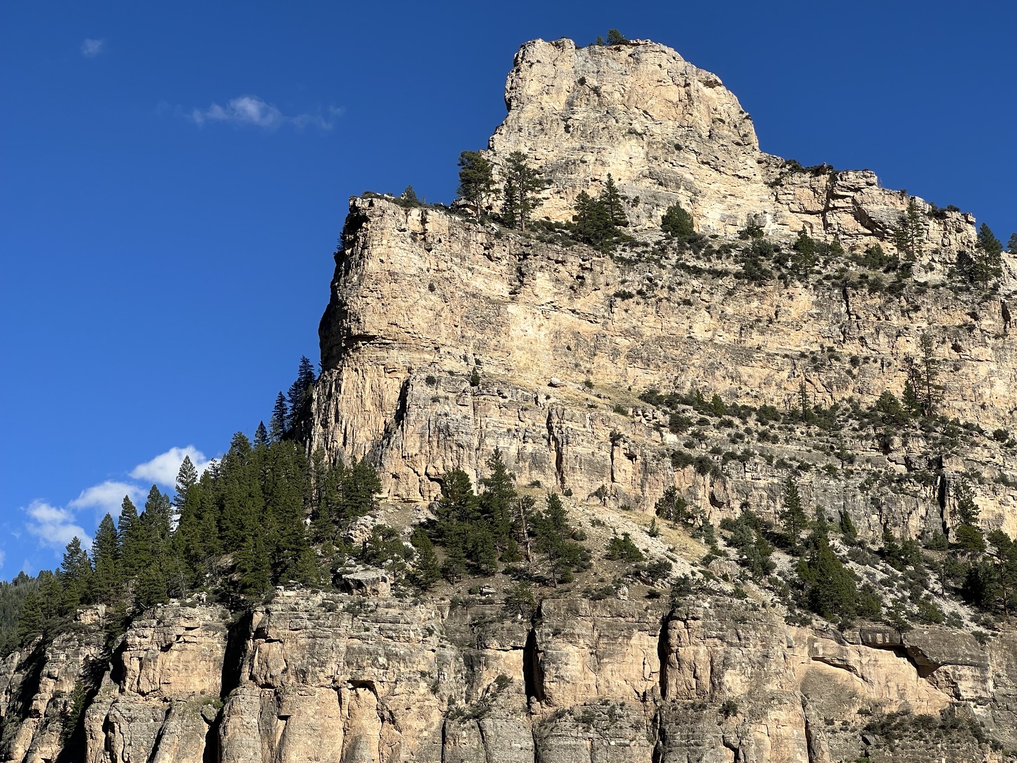
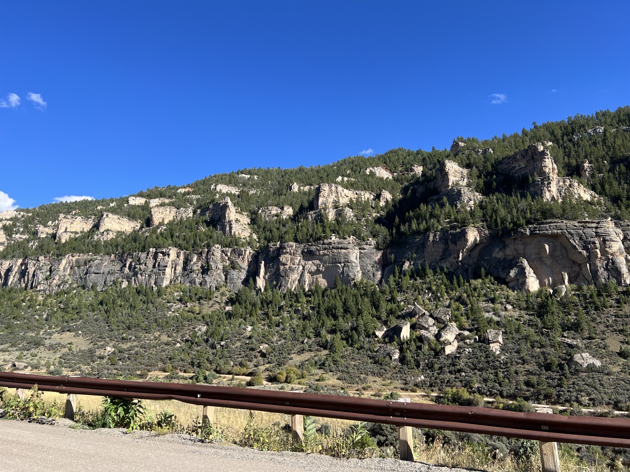
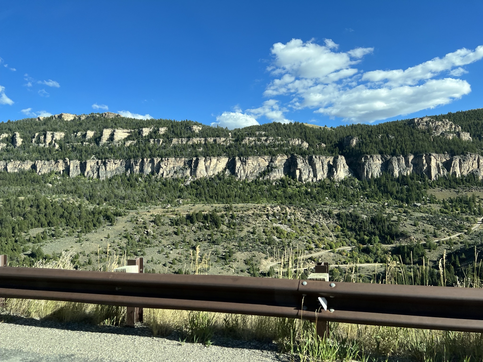
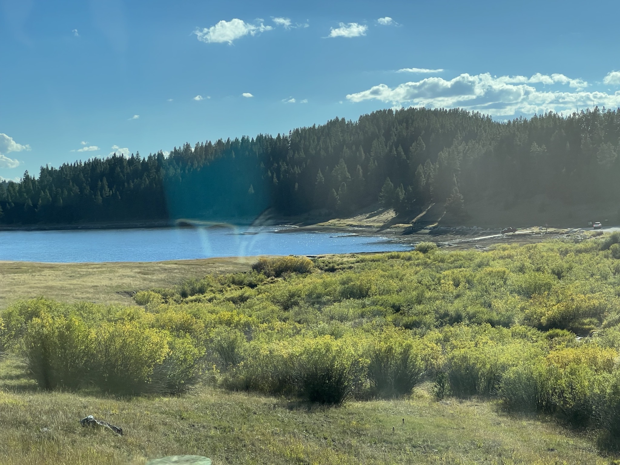
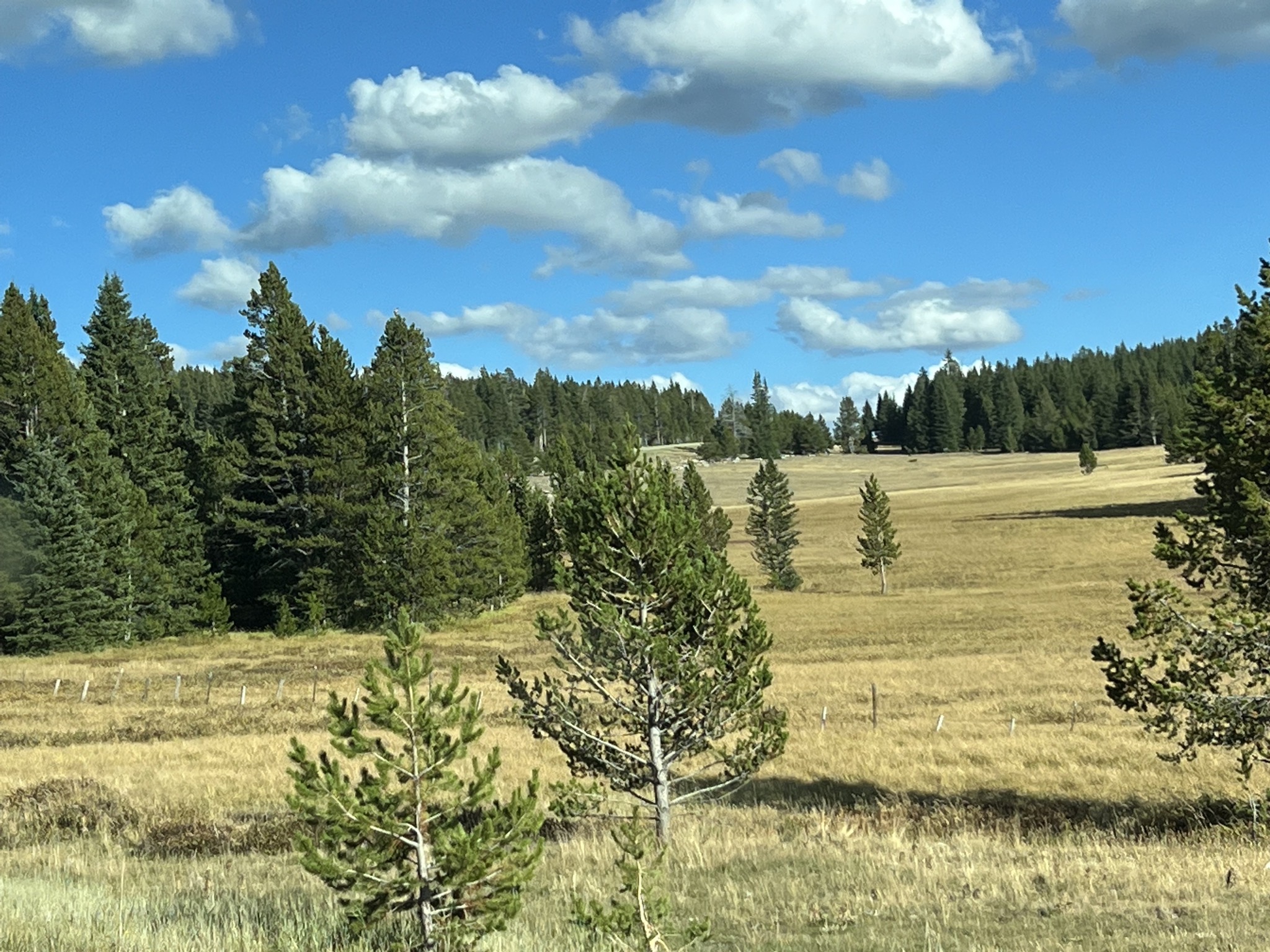
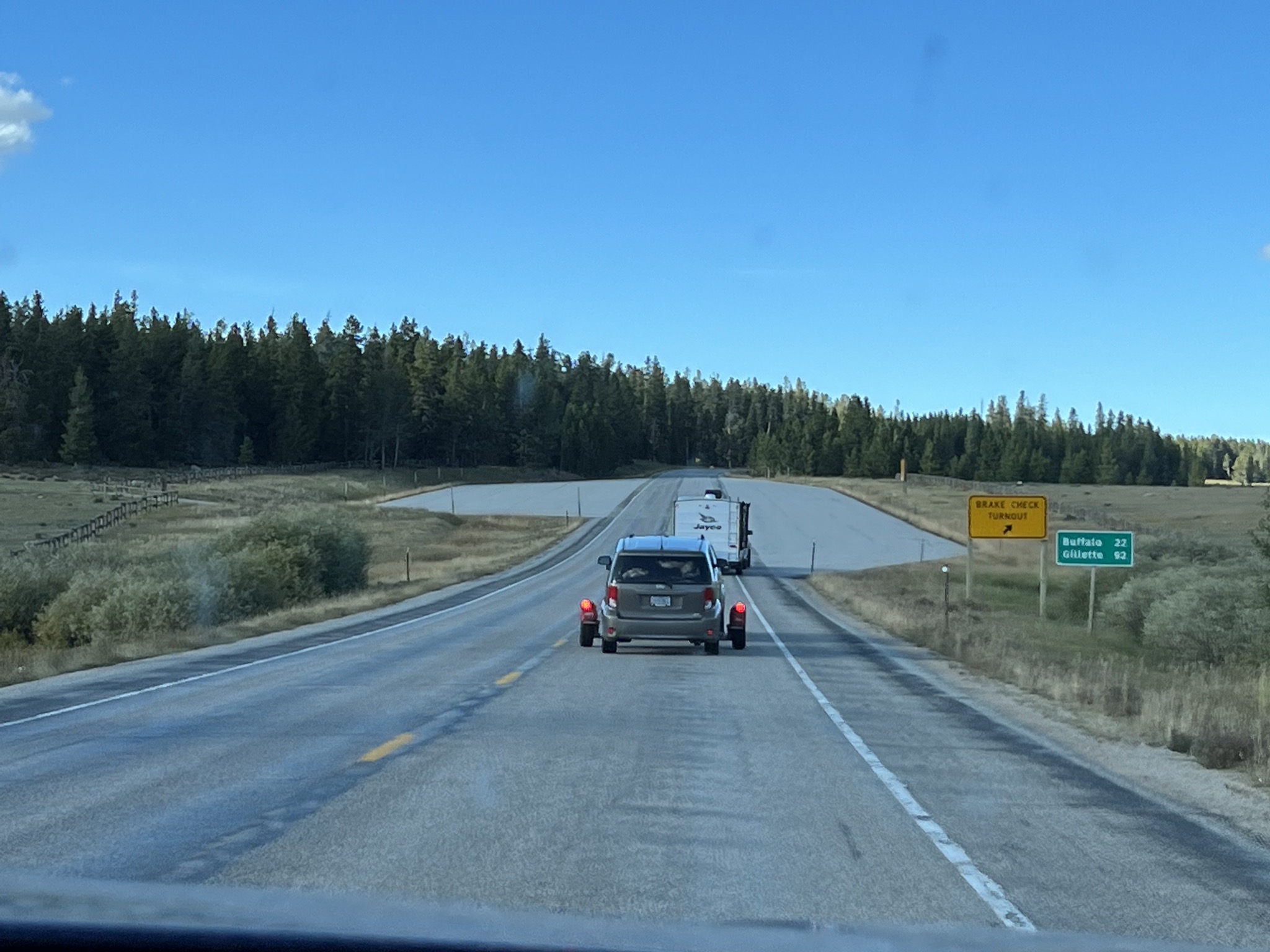
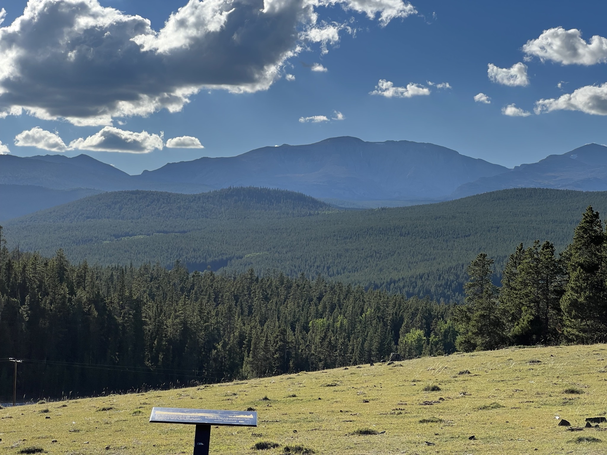
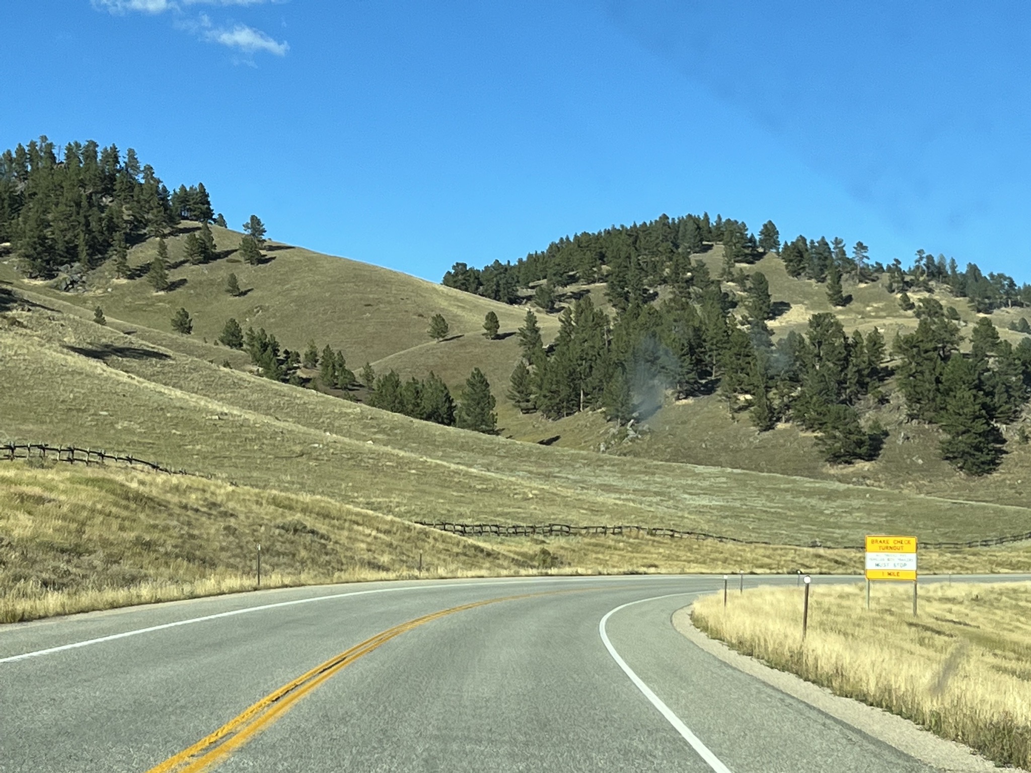
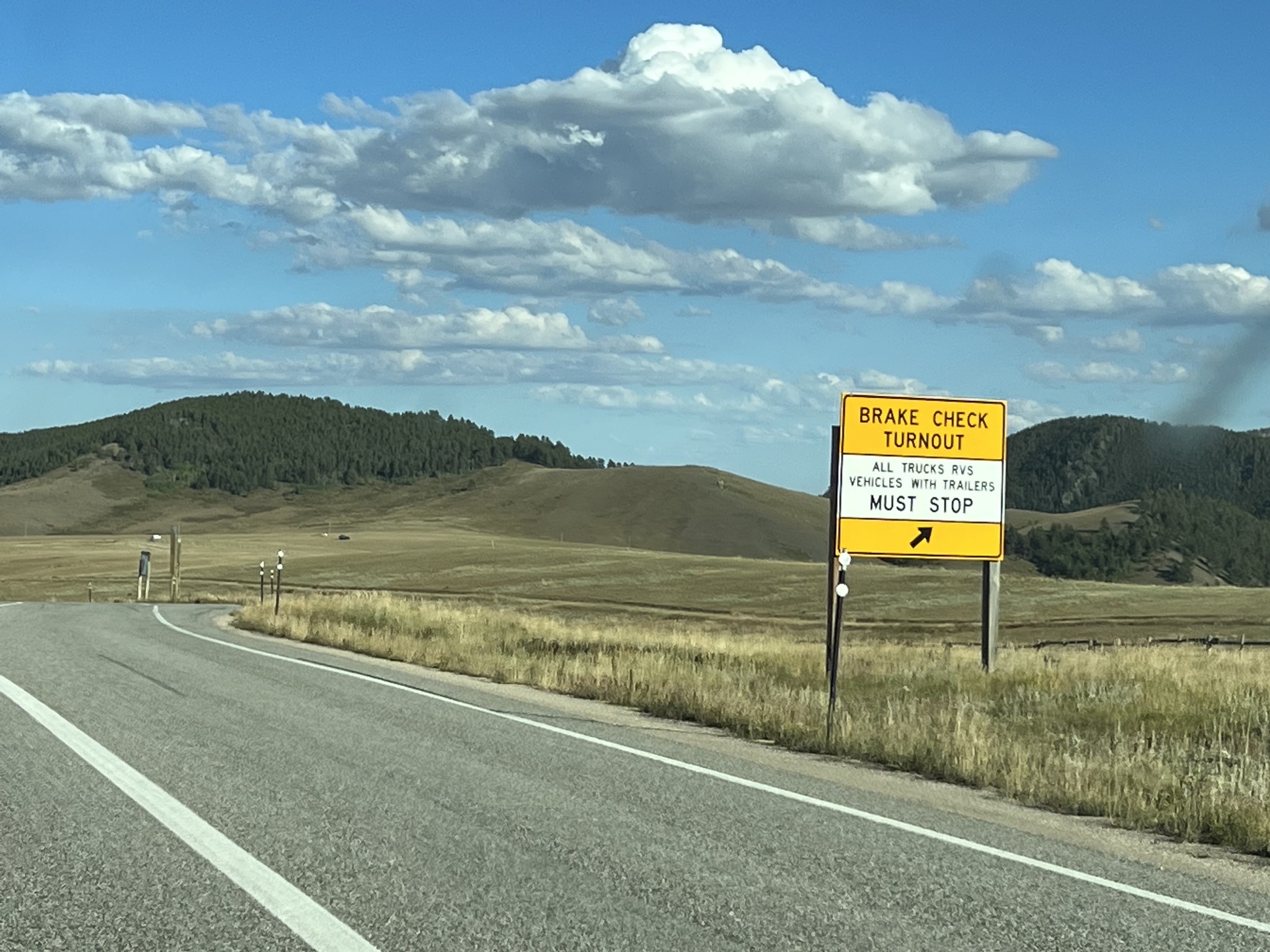
Brake check turnout:
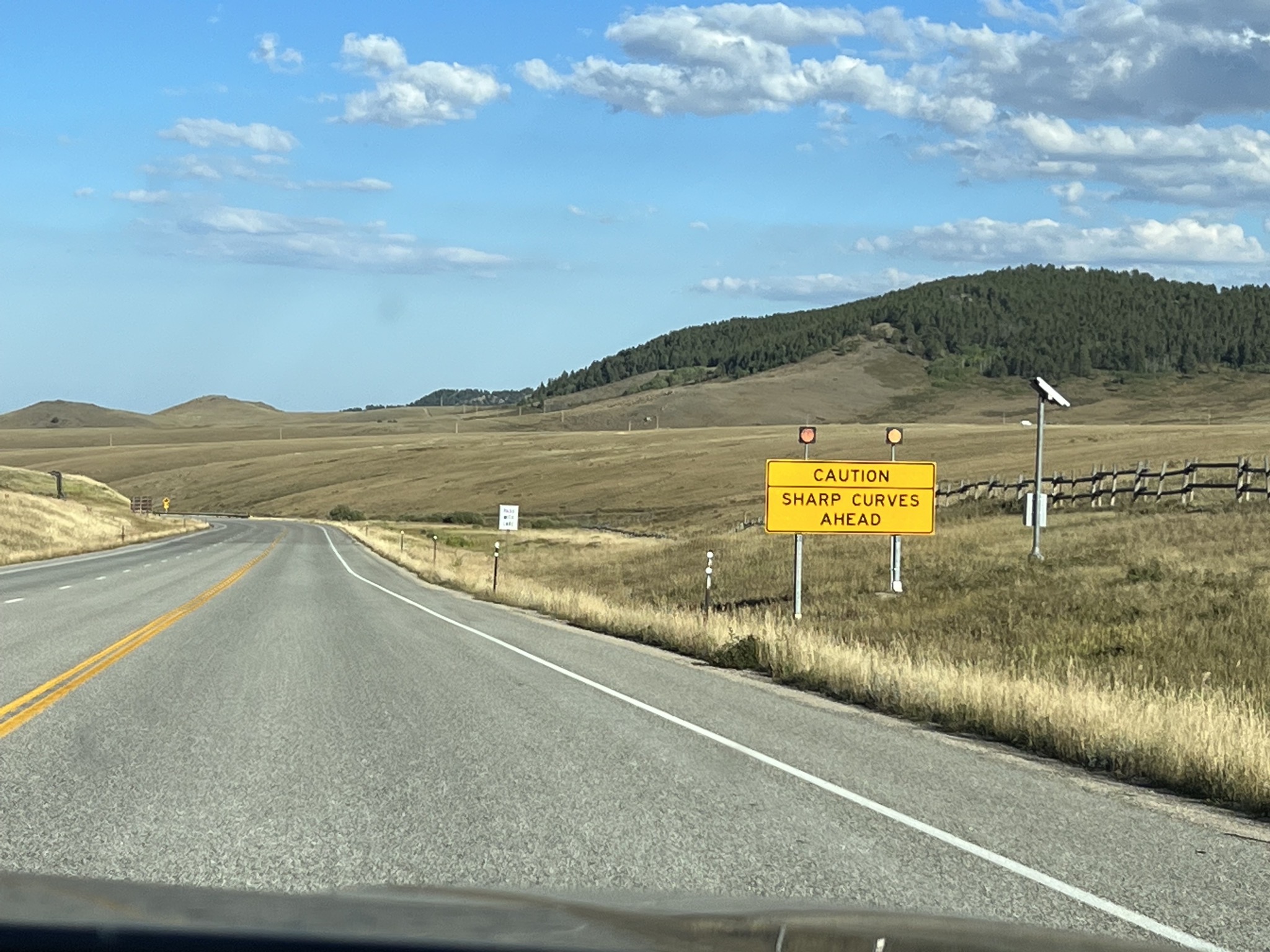
Sharp curves ahead:
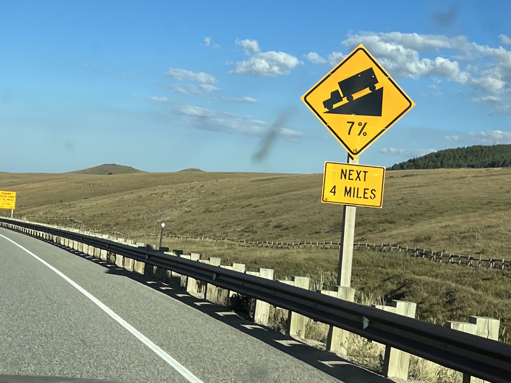
7% downgrade:
Did we mention sharp curives?
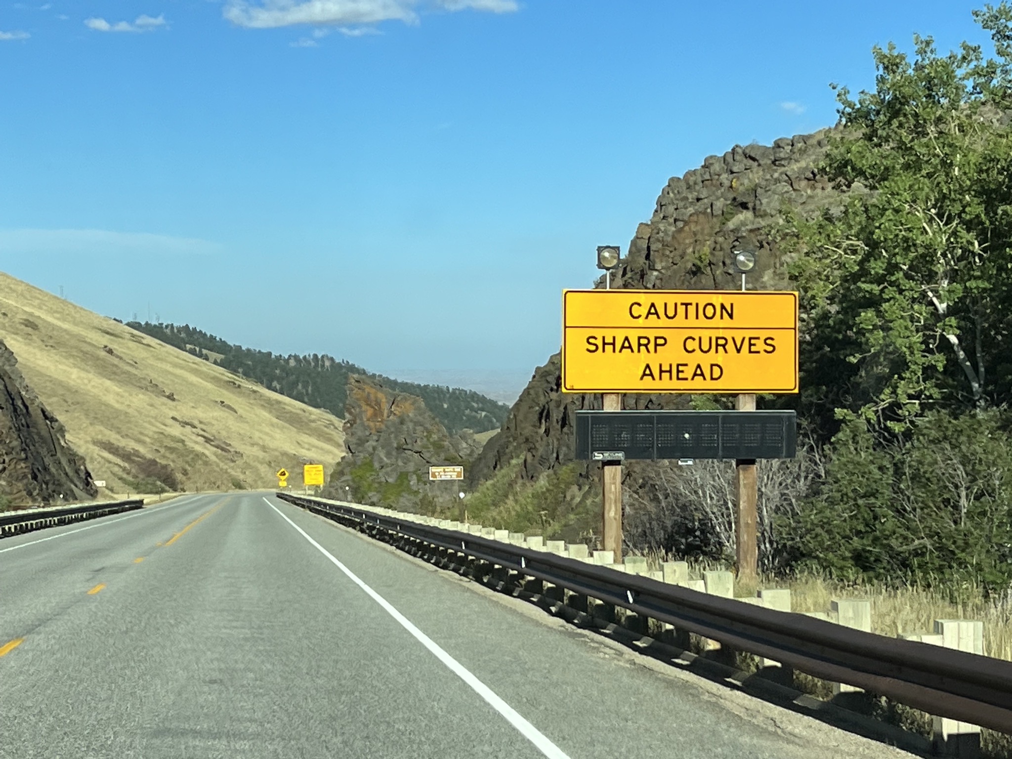
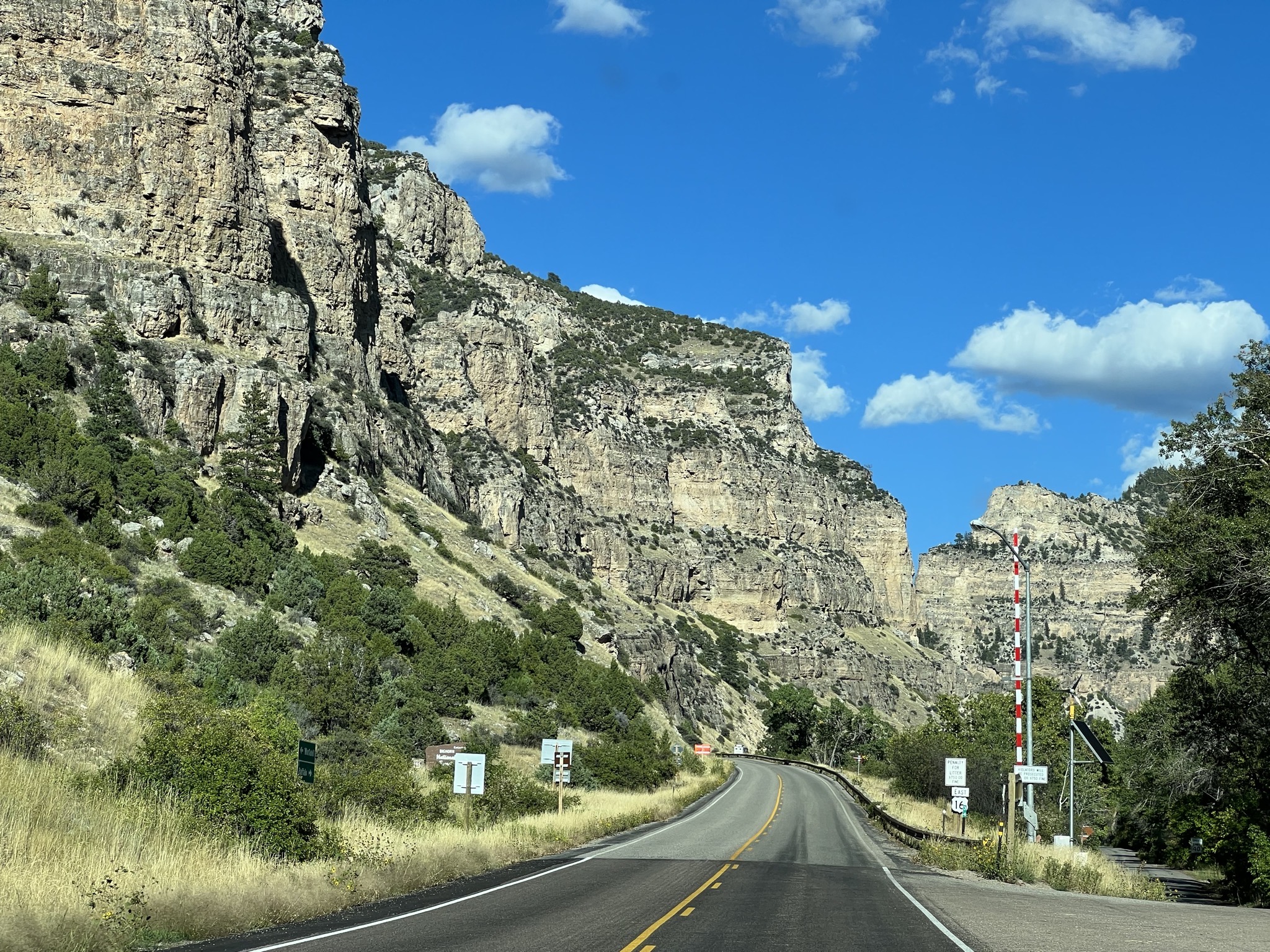
We wanted to travel this route in part because we may be driving our coach this way next year, heading from Yellowstone to Devils Tower. It’s rather steep, with about 5,000 feet of elevation gain then loss, but I think we can handle it; we’ve driven much worse.
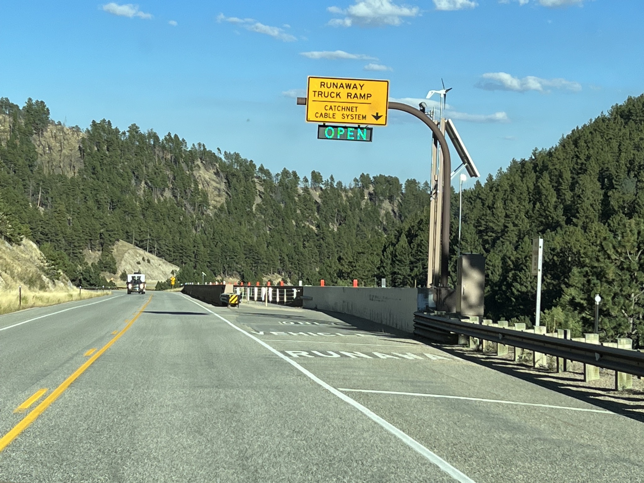
An interesting runaway truck ramp:
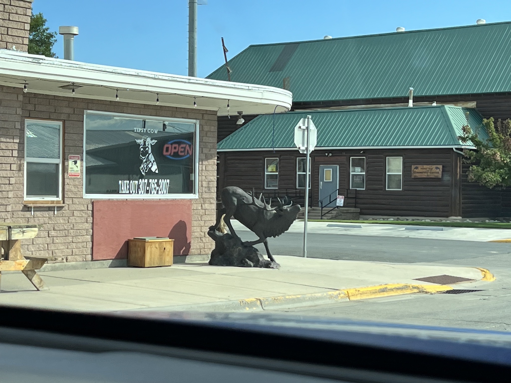
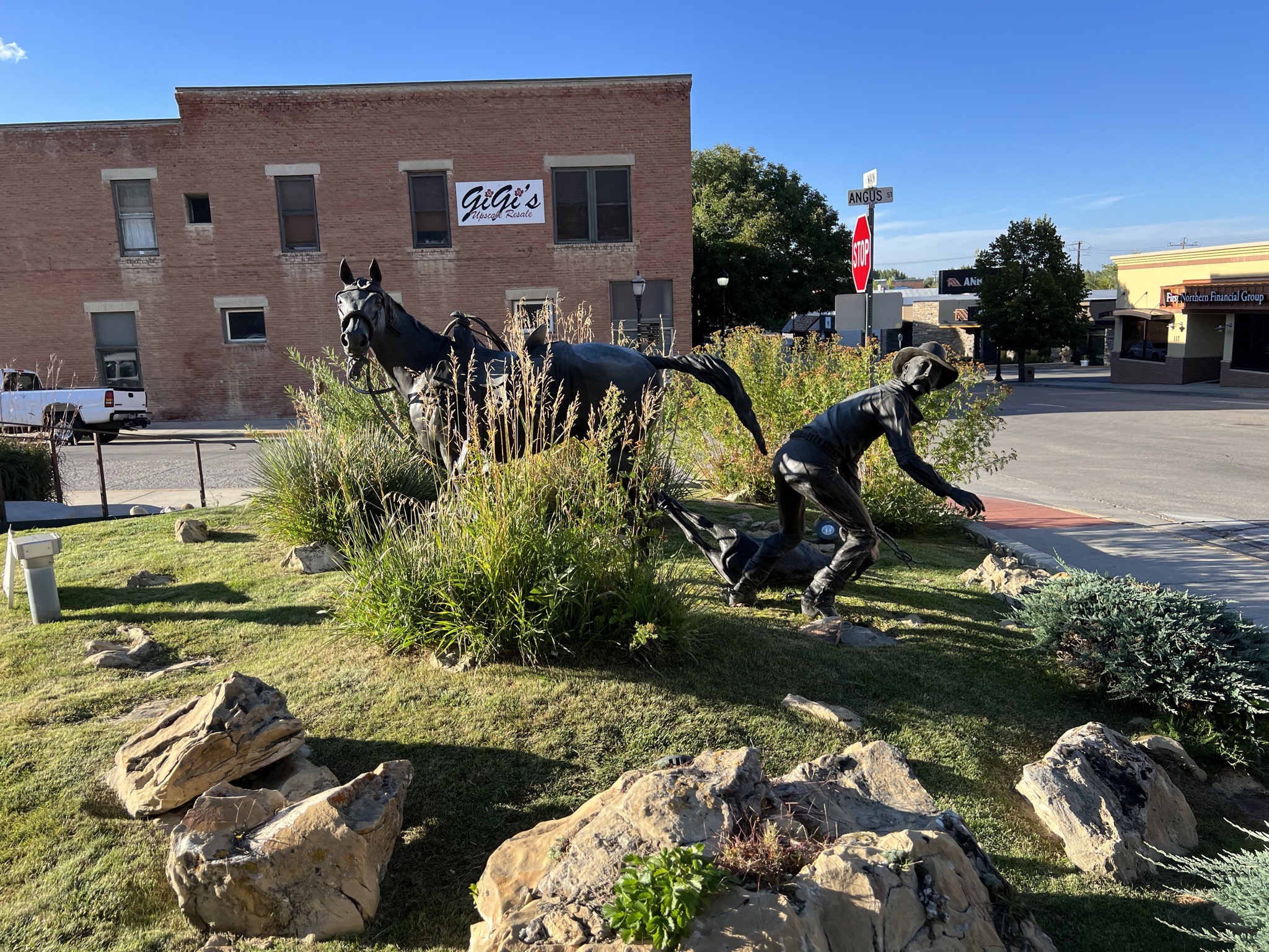
Back in Buffalo, some sculptures:
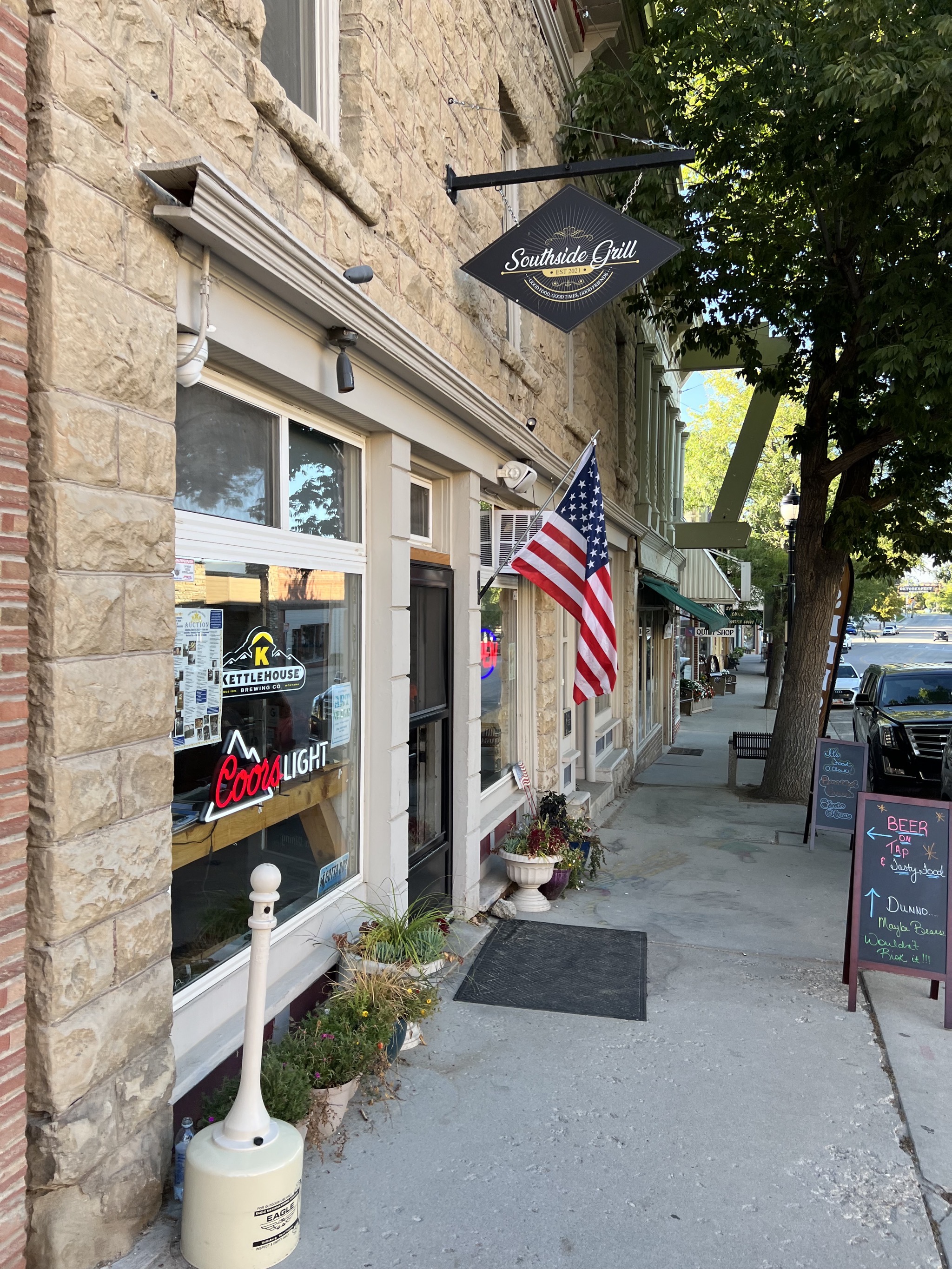
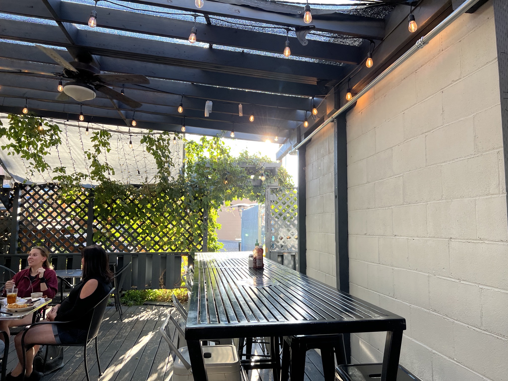
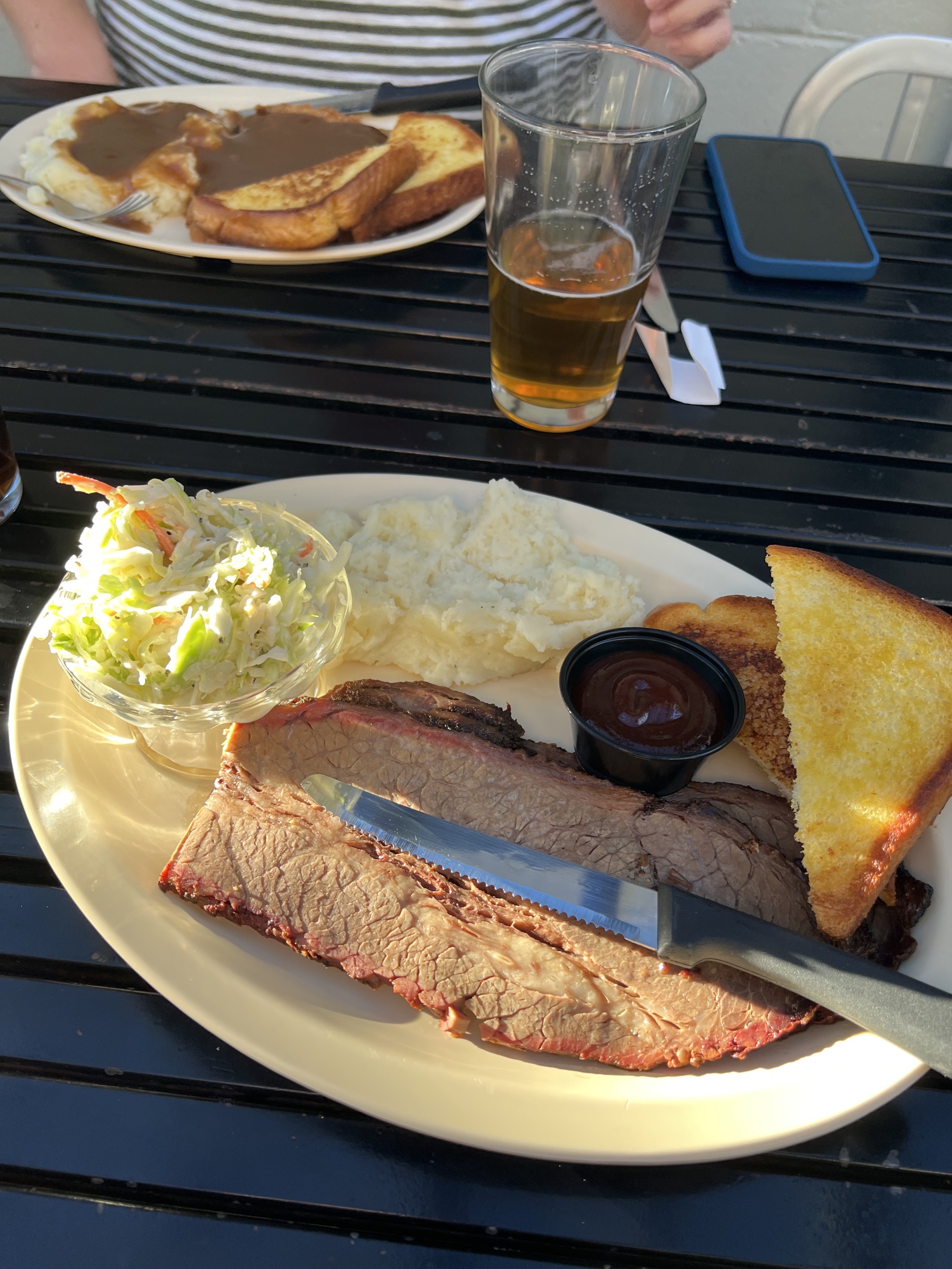
We went to Southside Grill for dinner:
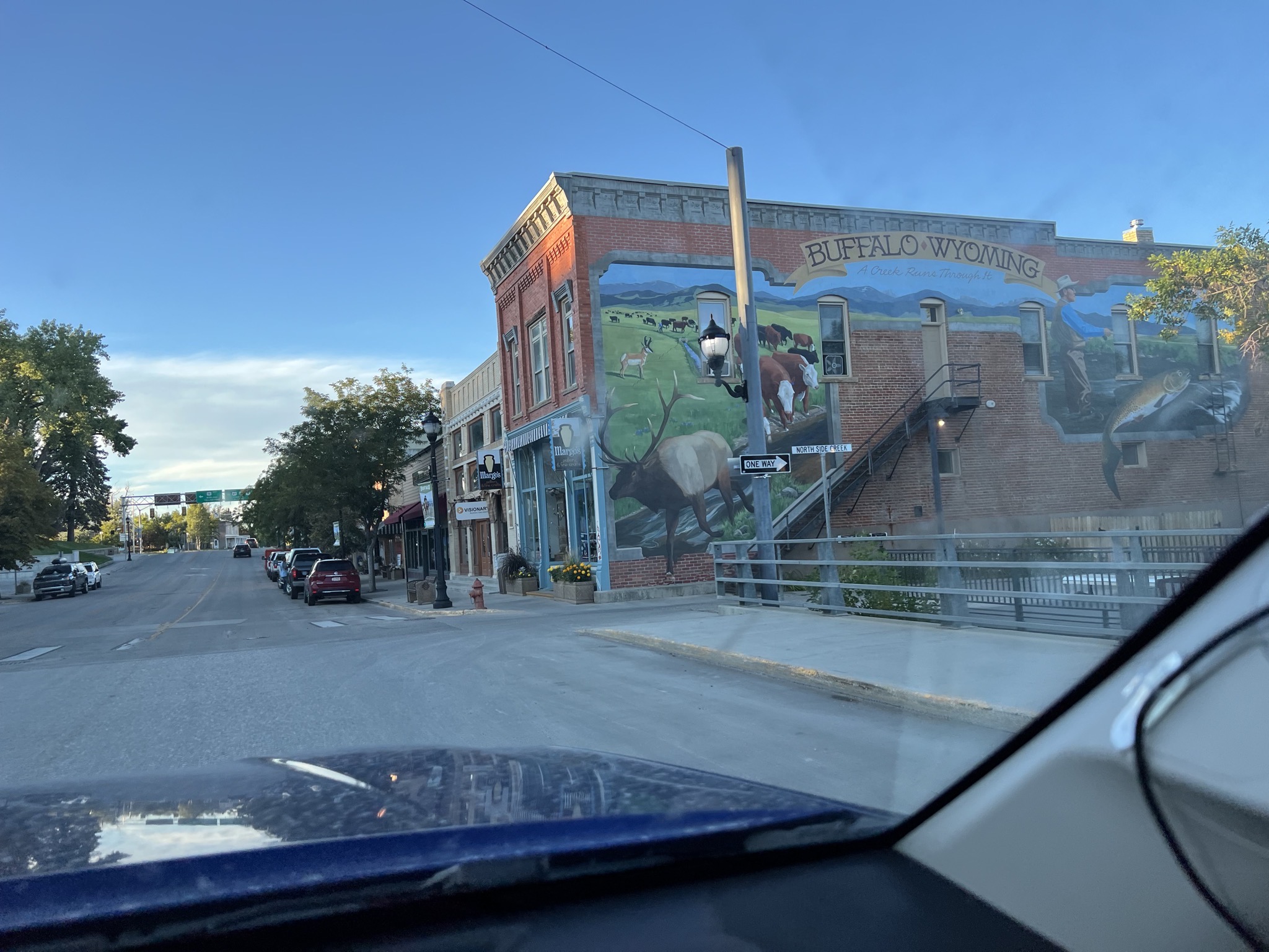
Buffalo mural:
Buffalo museum: