We visited Driftwood Beach on Jekyll Island in Georgia. When we think driftwood, we think logs, but this beach has whole trees.
An interactive map:
Driftwood Beach:


An interesting place.
We visited Driftwood Beach on Jekyll Island in Georgia. When we think driftwood, we think logs, but this beach has whole trees.
An interactive map:
Driftwood Beach:


An interesting place.
While staying in Crooked River State Park in Saint Marys, Georgia, we enjoyed frequent walks in the park.
Trail map:

Info sign:


Alligator country:

River:

Trail:


Tortoise:

Another trail:

Nature center:


Boardwalk trail without a boardwalk:

The trail was somewhat flooded, but we did it anyway:

Observation tower:

Swampy:

The boardwalk has been removed:


Pond:

A nice park.
We stayed at Crooked River State Park in Saint Marys, Georgia. (Campground Reviews listing.)
A pleasant stop on our way north.
Dates:
Weather:
Noise:
Site:
Utilities:
Internet (in usage priority order):
Amenities:
Our review on Campground Reviews:
Lovely state park
Not all campsites here have full hookups, but we were lucky enough to get a reservation for one. Our back-in site was plenty long enough for our 40-foot motorhome and tow vehicle. All the connections were good, and the campground hosts were on the ball, cleaning sites as soon as they were vacated. The campground is peaceful, with lots of nice, easy trails to enjoy. Note that the boardwalk has been removed from the loop behind the nature center, and we had to hop around some very large puddles to get around. Despite signs warning of snakes and gators, we saw neither, but we did see an armadillo, which was exciting as I’d never seen one that wasn’t roadkill. We camped at Crooked River State Park in a Motorhome.
Tip for Other Campers: Jekyll Island (Driftwood Beach) and Fort Frederica National Monument are both worth a daytrip. Locals Dockside had excellent seafood, and historic St Marys is a cute little town.
Campground map:

An interactive map:
Our site:


Utilities:

Pollen on our truck:

Other sites:


Bathrooms:

The first time we’ve seen a live armadillo:

Venomous snake country:

Little library:

Mini golf:

Cabins and screened picnic area:

Shelter building:

Dangerous cliff:

A nice park; we’d be happy to stay here again.
We visited the headsprings part of Rainbow Springs State Park in Dunnellon, Florida.
Their map:

The main part of the park is physically separated from the campground:
A sign with info about the history:

Pond and waterfall:

Natural Landmark since 1972:

Paths and the spring:

Caution, gators:

Info sign:

Selfie:

Swimming area:


Swimming area from other side:

Bumpy path:

Marshy area:


Bubbling sand GIF:

Waterfall GIF:

Waterfall long exposure:

A nice park. Apparently crazy busy in summer, but not so much in winter.
Some clips from three viewpoints at Three Sisters Springs in Florida, with hundreds of manatees gathered around the springs.
We visited Three Sisters Springs in Crystal River, Florida, to see manatees. These fascinating creatures spend the winter gathered around warm springs connected to the gulf, as the springs maintain a temperature of 72° F year-round.
Here’s a map of the springs:
A map on the wall of the visitor center:

350 manatees counted:

Entrance sign:

Manatee manners signs:

One of the springs:

Lots of manatees:


The nearby Crystal River National Wildlife Refuge Visitor Center:


While staying at Ho-Hum RV Park, we did a few drives along the Forgotten Coast, in the panhandle of Florida. Amongst other things, we saw all four of the lighthouses on the coast.
A pamphlet for the lighthouse driving tour, with information about each lighthouse:


The first drive was west of the RV park, with lunch at the Blue Parrot Ocean Front Cafe (they have a live cam you can view, too), then St George Island Lighthouse.
Here’s the route on an interactive map:
Bridge to St George Island:

Blue Parrot for lunch:


St George Island Lighthouse; unfortunately the museum was closed when we visited:


St George Island beach:

Further west, the Cape San Blas Lighthouse in Port St Joe:

The second drive was east of the RV park, to St Marks National Wildlife Refuge, St Mark’s Lighthouse, and Publix groceries on the way back.
Here’s the route on an interactive map:
St Marks National Wildlife Refuge:

The refuge visitor center, with info about the lighthouse too:


The wildlife refuge:


The third drive was to have lunch at The Fisherman’s Wife restaurant in Carrabelle, then visit the nearby Crooked River Lighthouse.
Here’s the route on an interactive map:
The Fisherman’s Wife; we wanted to eat here last year, but they were closed for the holidays. They were closed again most of the time we were at Ho-Hum this time too, but opened a few days before our departure:


Crooked River Lighthouse, the tallest of the four:

The old lighthouse keeper’s house, now a small free museum:


Fascinating stuff. We really enjoy this area of Florida; much more laid-back than the more touristy and populated parts.
We drove our coach 184 miles, about three hours of driving, from Lena, Mississippi to Red Bay, Alabama.
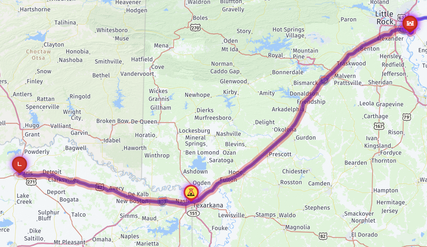
Here’s a map showing our route (kinda), heading north:

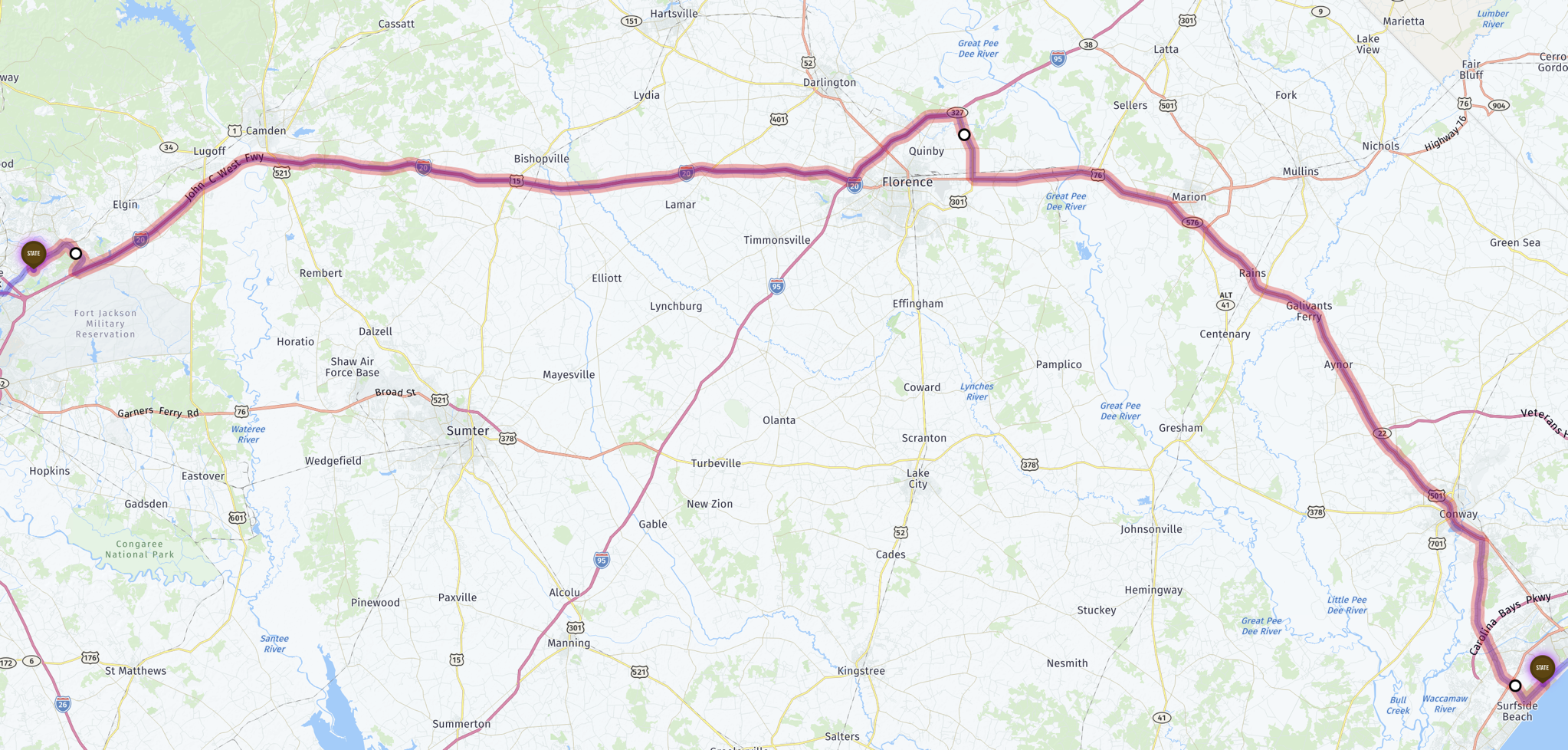
That wasn’t actually our route, as we decided to take the Natchez Trace Parkway, which the RV routing didn’t like, but I examined closely and determined it’d be fine for us. Here’s an interactive map of the actual route:
A branch and lots of leaves by our truck:

A narrow road from the campground:

A sharp turn from the park road; not too hard for our coach:

Another Allegro Bus passing us:

A drizzly drive:

Entering Natchez Trace Parkway:


Lunch stop at the Jeff Busby area:


Loose dogs roaming around:


Leaving Natchez Trace Parkway for I-22 East:


MS-25:

Turned into MS-76 (a newer and much nicer highway):

Welcome to Sweet Home Alabama:

Arriving at our destination, Red Bay Acres:

Mostly empty RV park:

Oooh, a Zephyr (top of the line Tiffin motorhome):

Our site:

A short timelapse of our RV site flooding; watch the right side to see the water creeping in, and see how much it rises overnight! We changed sites when it kept rising.
Other than the Moody Gardens Festival of Lights (which was posted out of sequence, on Christmas Day last year), and going to a H-E-B grocery store, we didn’t do much while staying at Galveston Island State Park, in part due to rainy weather. But we did enjoy several walks along the beach.
An info sign:


Empty beach, with regular garbage bins. The sand is quite nice, with very few shells:

Oil rig visible in the distance:


Jenn picking up garbage:

Houses beyond the end of the park at the south end:

Park boundary:

No motorized vehicles beyond this point; people can drive on the beach, but not in the park:


Boardwalk to a day use area:

Showers and changing rooms in the day use area:

Picnic shelters in the day use area:

Turtle sculpture:

A ranger patrolling on the beach:

Houses beyond the end of the park at the north end:

Park boundary:

Big empty beach: