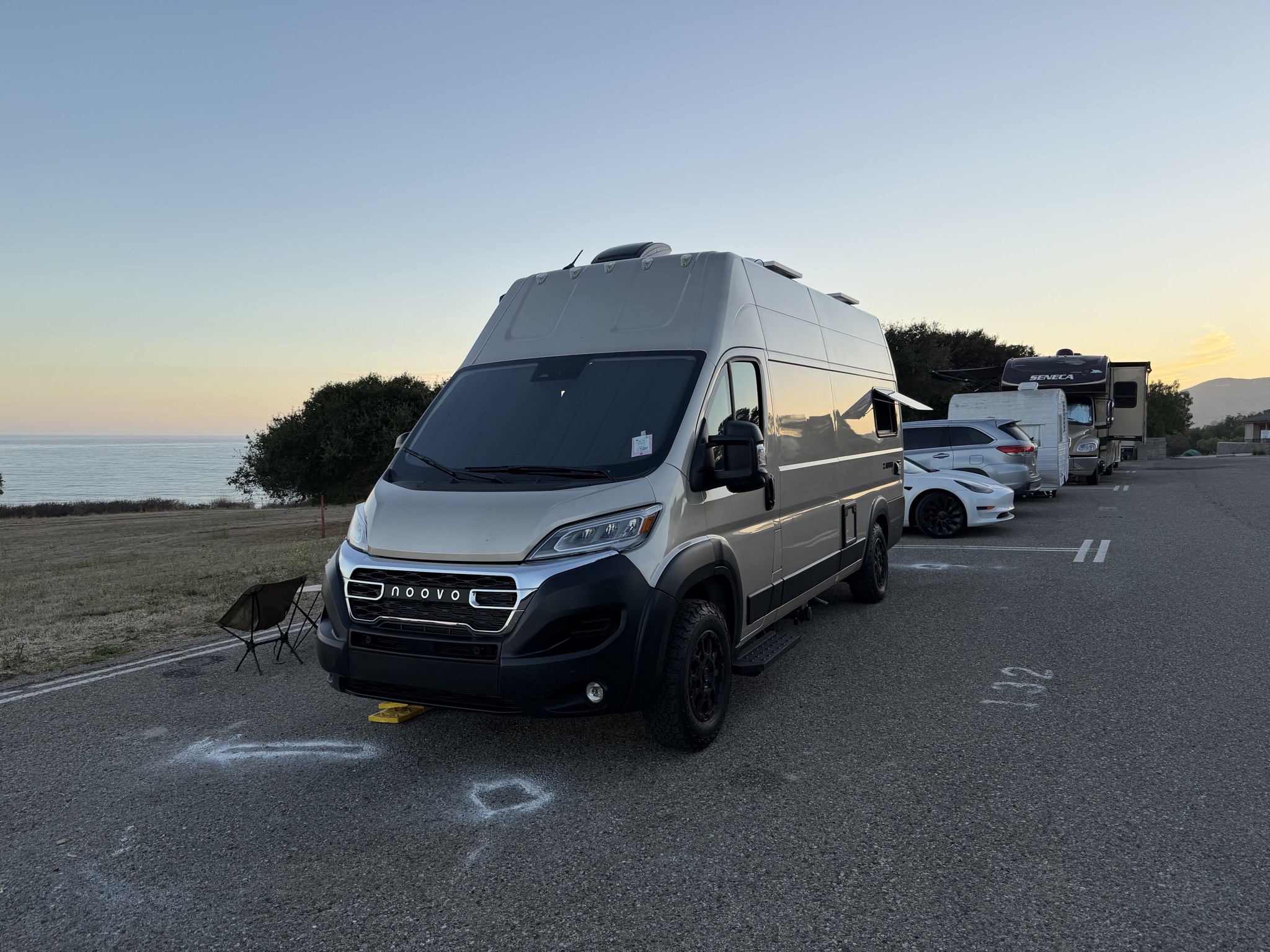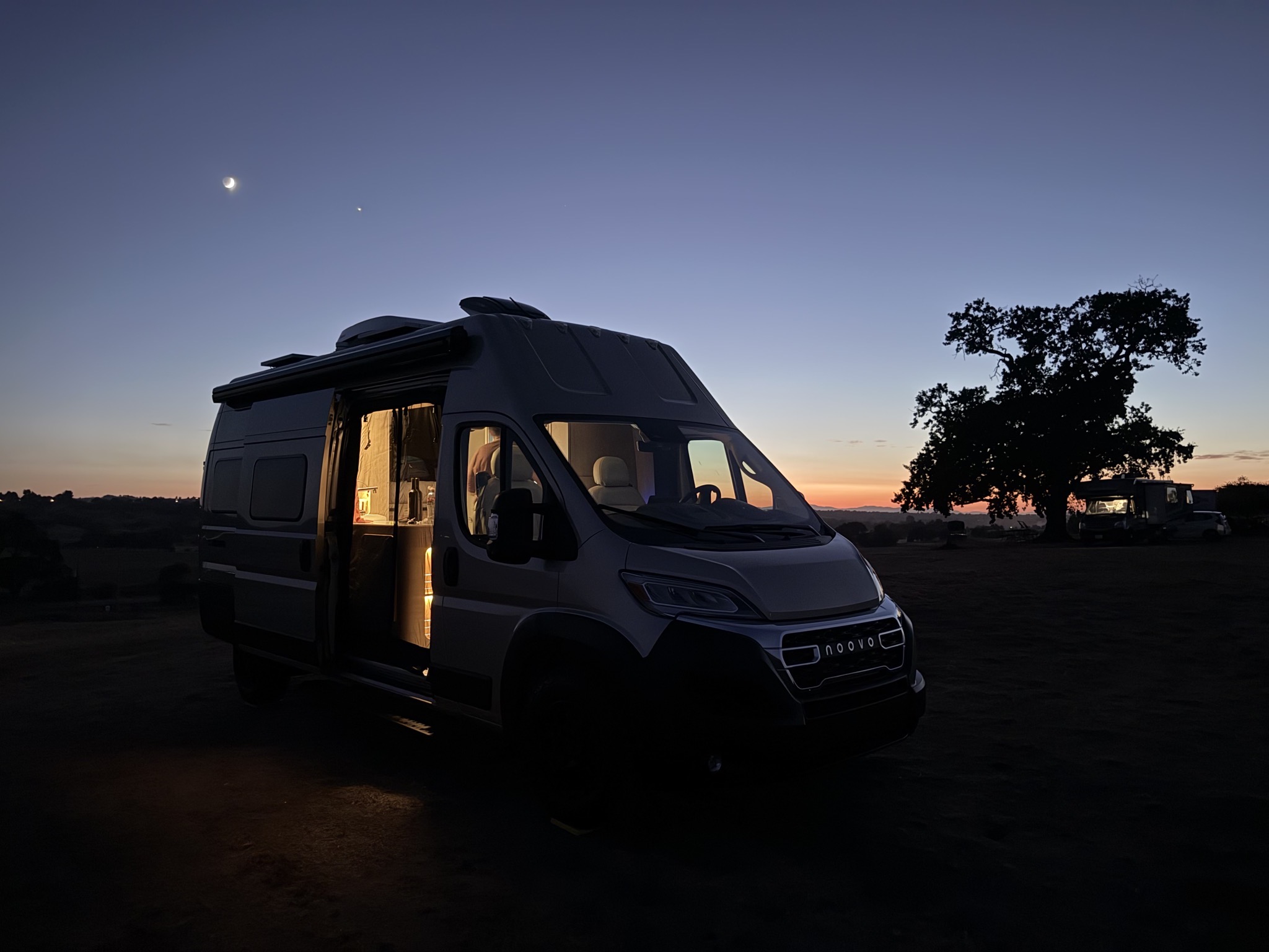
Williams Lake to Wild Rose RV Park in Hope, British Columbia

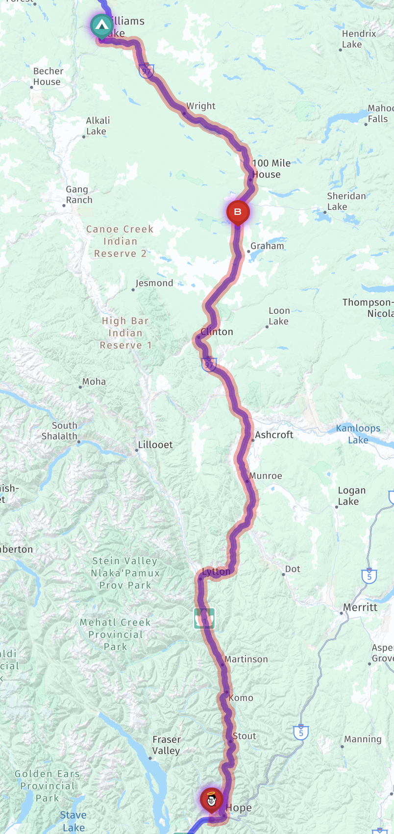
Jenn drove our coach and I followed in our truck (due to the tow failure) 251 miles / 404 km, about five hours of driving, from Stampede Campground in Williams Lake to Wild Rose RV Park in Hope, British Columbia, Canada, continuing to return home. Our last stop in Canada.

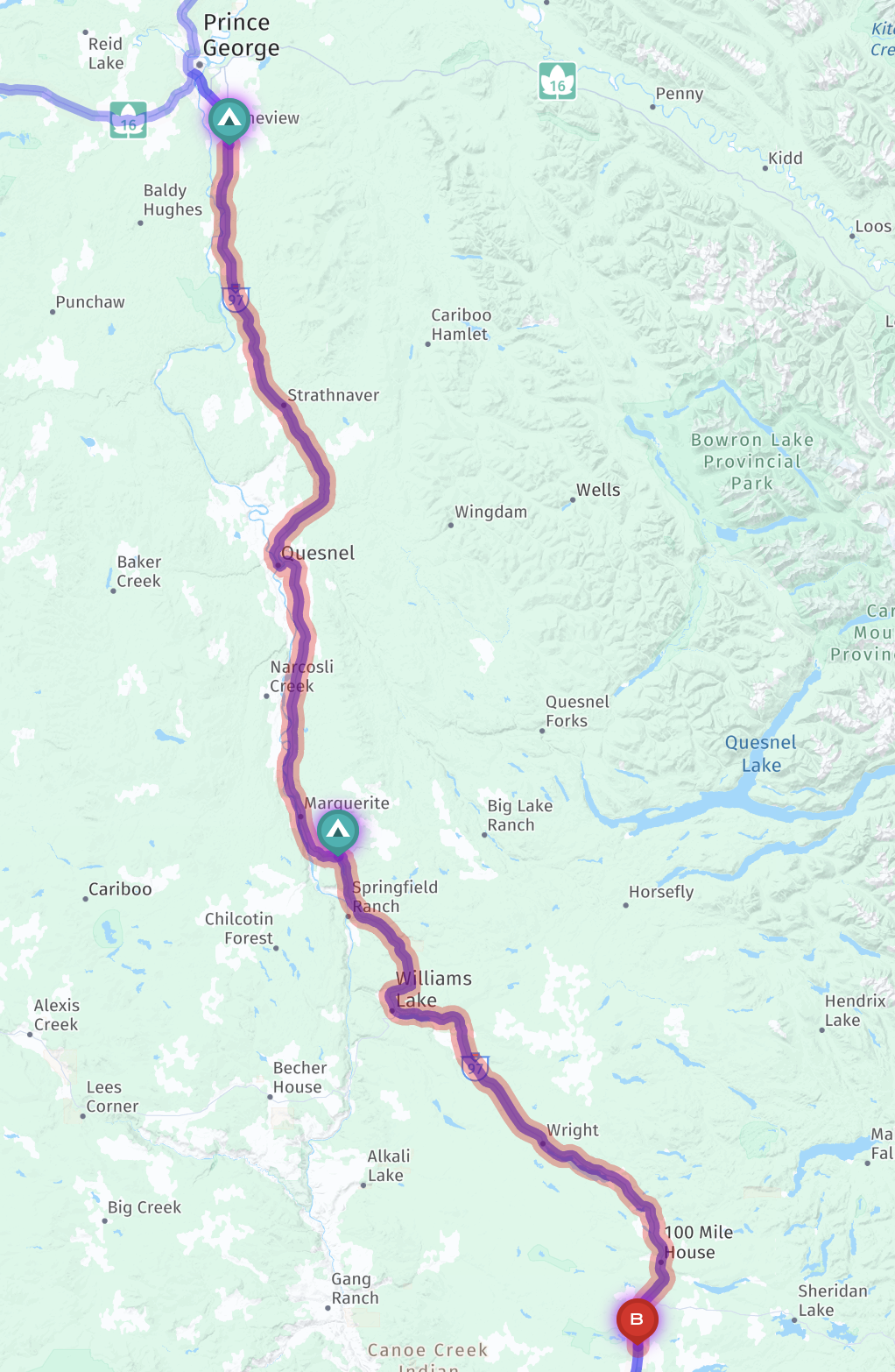
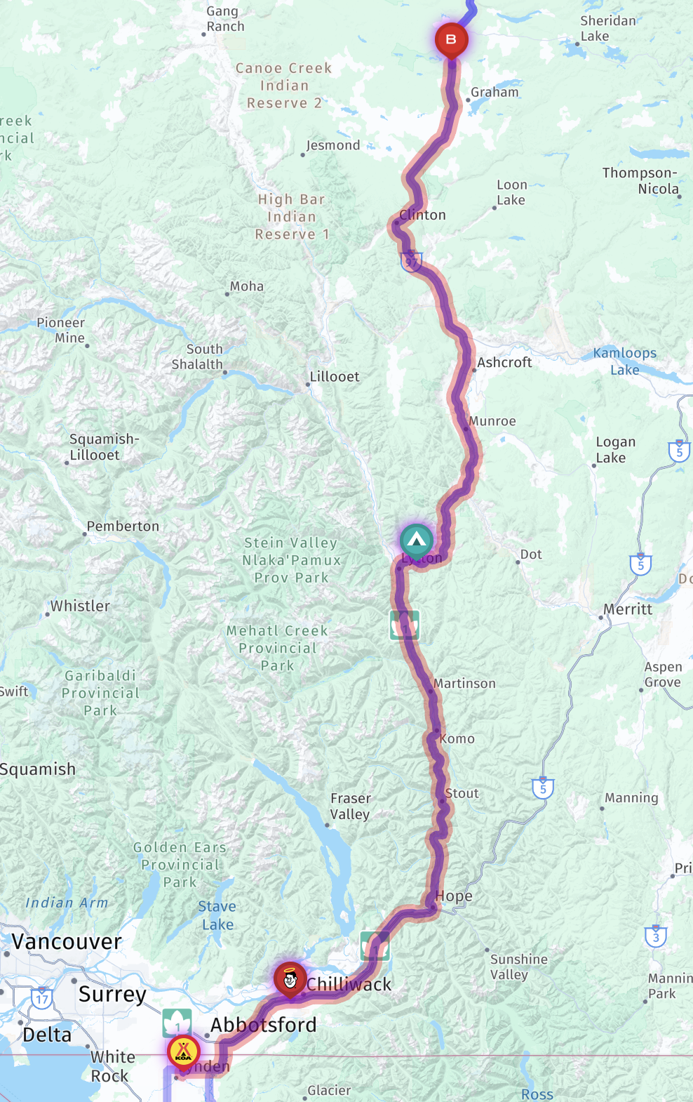
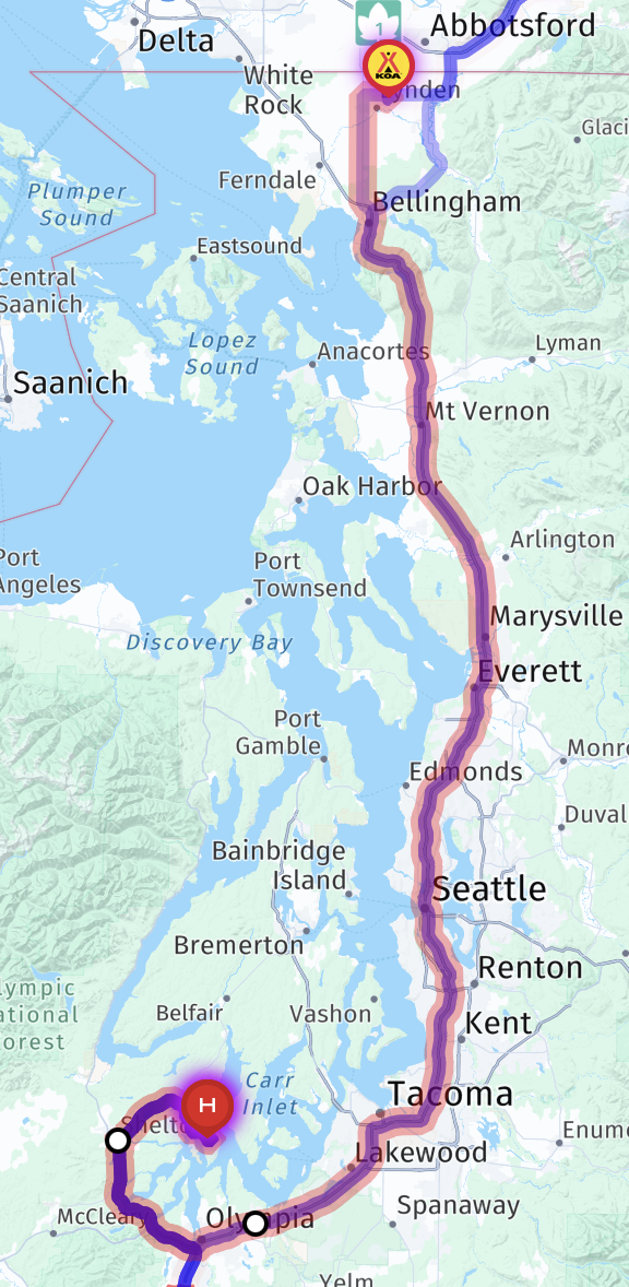
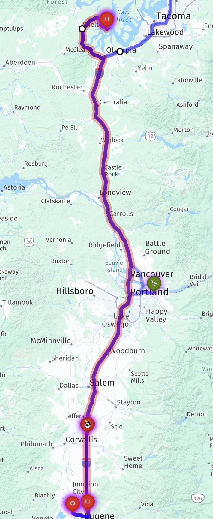
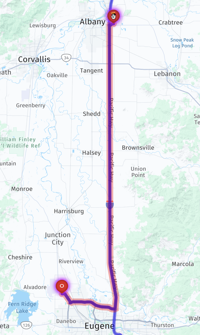
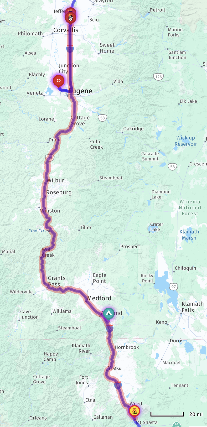
Here’s a map showing our route, heading south:

Route map

An interactive map, with potential stops pinned:

Again, not a lot of pictures of this trip, since I was driving.

Leaving the campground:

Leaving the campground

Rocky Mountaineer train passing at a rest stop:

Rocky Mountaineer train at a rest stop

Rocky Mountaineer train at a rest stop

Campground map:

Campground map

Our site, #7:

Our site

Our site

Our site

Our site

Our site

Mackenzie to Stampede Campground in Williams Lake, British Columbia

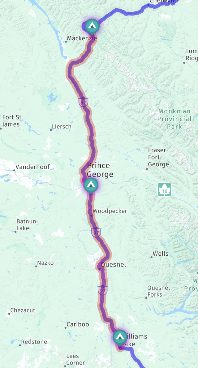
Jenn drove our coach and I followed in our truck (due to the tow failure) 273 miles / 439 km, about five hours of driving, from Azouzetta Lake Lodge & Campground in Mackenzie to Stampede Campground in Williams Lake, British Columbia, Canada, continuing to return home.

Here’s a map showing our route, heading south:

Route map

An interactive map, with potential stops pinned:

Again, not a lot of pictures of this trip (and the next couple), since I was driving. But I had to take a few more of Azouzetta Lake Lodge & Campground:

Our site

Views

We went to the cafe again for breakfast, and got some croissants for today and cinnamon rolls for later:

Croissants and cinnamon rolls

More views:

Views

Views

Views

Rest stop on our way:

Rest stop

Fuel stop for the coach and truck:

Fuel stop for coach and truck

Arriving at Stampede Campground in Williams Lake:

Arriving

Campground reservation board:

Campground reservation board

Campground map:

Stampede Campground map

Our site, #45:

Our site

Our site

Our site

Our site

Our site

Fort St John to Azouzetta Lake Lodge & Campground in Mackenzie, British Columbia

After our truck decided it didn’t want to go to Alaska after all, we made the difficult decision to head home, rather than try to continue our trip in a sub-optimal way, by either driving separately or leaving our truck in Fort St John and renting a car in Alaska. We’ll try again in a year or two.

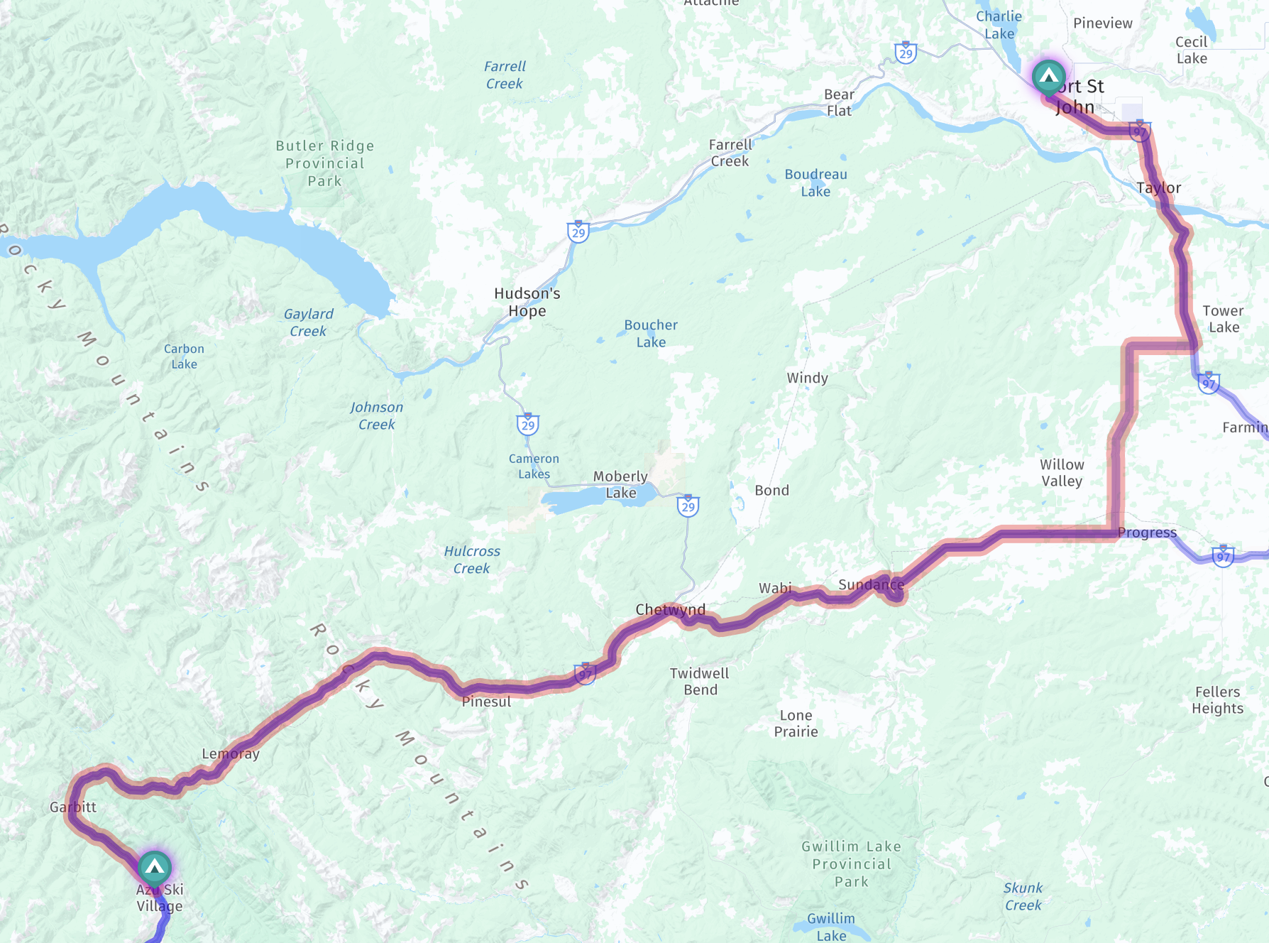
Jenn drove our coach and I followed in our truck (due to the tow failure) 150 miles / 241 km, about three hours of driving, from Rosco’s RV Park in Fort St John to Azouzetta Lake Lodge & Campground in Mackenzie, British Columbia, Canada.

Here’s a map showing our route, heading southwest:

Route map

An interactive map, with potential stops pinned:

No pictures of the road from this trip (and the next few), since I was driving, but still a bunch from our stops.

We stayed at Rosco’s RV Park for two nights, and had lunch at TJ’s Country Kitchen, out front of the RV park:

TJ's Country Kitchen

TJ's Country Kitchen

TJ's Country Kitchen

TJ's Country Kitchen

I zip-tied the loose truck components before departing:

Zip-tied components

Zip-tied components

Checking on the truck at a rest stop:

Checking on the truck at a rest stop

Lunch stop at A&W in Chetwynd:

Lunch stop at A&W in Chetwynd

Lunch stop at A&W in Chetwynd

Lunch stop at A&W in Chetwynd

Arriving at Azouzetta Lake Lodge & Campground:

Arriving at Azouzetta Lake Lodge & Campground

Check in at the cafe:

Check in at the cafe

Campground map; we booked site #22:

Map

Opening the gate for our coach:

Opening the gate for our coach

Our site, #22; no hookups, but very scenic:

Our site

Our site

Our site

Our site

Nice views all around:

A nice view

Views

Views

Views

Views

Views

Views

Views

Views

Views

Views

Views

Views

Views

We had pizza and poutine for dinner at the cafe:

Pizza and poutine for dinner at the cafe

Back to our site:

Our site

Our site

Dawson Creek to Rosco’s RV Park in Fort St John, British Columbia

Not what we had planned!

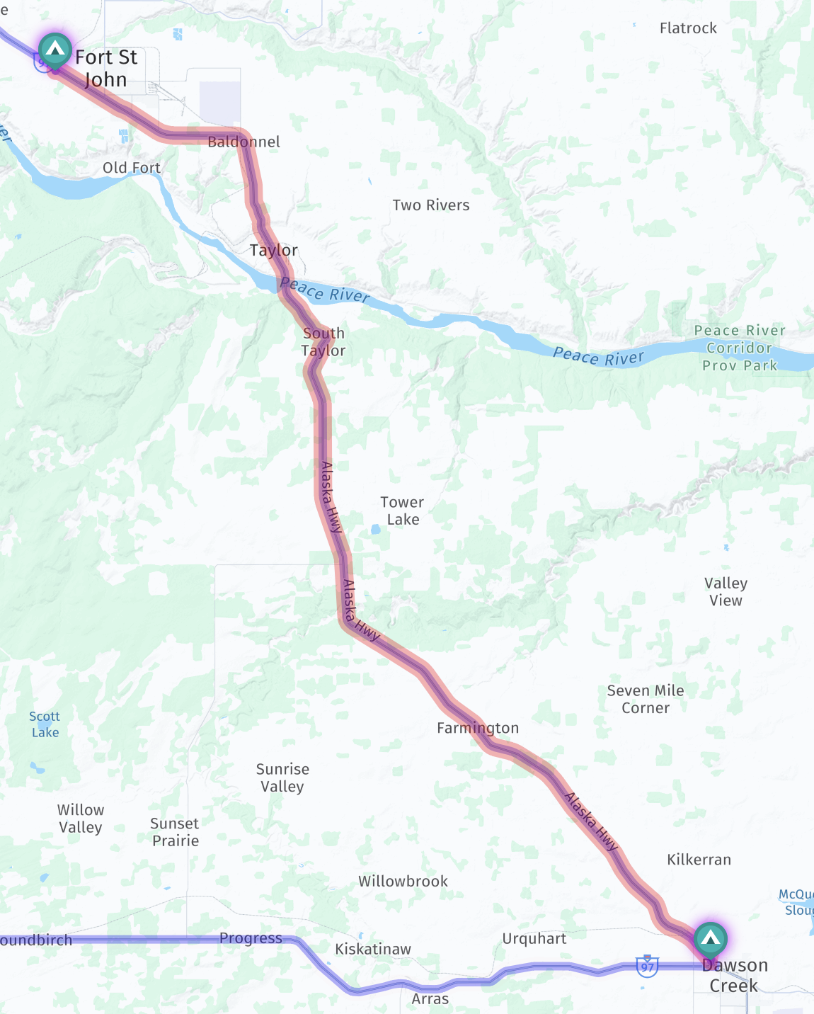
We drove our coach just 46 miles / 74 km, about one hour of driving, from Mile 0 Park in Dawson Creek to Fort St John, British Columbia, Canada… where our truck’s front frame broke off while leaving a fuel stop, leaving our truck behind while being towed! So we stopped for the night at Rosco’s RV Park.

Here’s a map showing our route, heading northwest:

Route map

An interactive map, with potential stops pinned:

The Mile 0 RV Park site was rather unlevel, which may have contributed to the failure, though perhaps not:

The Mile 0 RV Park site was rather unlevel

The Mile 0 RV Park site was rather unlevel

Wildlife corridor:

Wildlife corridor

Kiskatinaw River bridge:

Kiskatinaw River bridge

Kiskatinaw River

Steep grades ahead:

Steep grades ahead

10% grade:

10% grade

Taylor bridge over Peace River:

Taylor bridge over Peace River

We attempted a fuel stop at a Co-Op Cardlock station, as they alleged they accepted credit cards:

Attempted fuel stop

But we couldn’t get the machine to accept a credit card:

Couldn't get the machine to accept a credit card

The truck was still fine here:

Co-op Cardlock fuel fail

We gave up on that, and headed to a Petro-Canada station:

Heading to a Petro station

Petro-Canada fuel stop:

Petro-Canada fuel stop

Soon after leaving the fuel stop, the front frame broke off our truck, ripping off the bumper, and leaving the truck behind:

Soon after leaving the fuel stop, the front frame broke off our truck, leaving it behind

Broken truck

Stay tuned for a post in a couple of weeks with a summary and update on this incident.

We took the truck to a nearby Chevy dealer, but it was beyond them. They referred us to an auto body shop, but they didn’t have availability to help any time soon, though were kind enough to take a look at it, and investigate whether or not it could be fixable:

Took the truck to an auto body shop, but they couldn't help

We looked around for a nearby RV park, and found Rosco’s RV Park just down the road. We drove the truck there to check in, then went to get our coach, which we had left in a yard near the incident.

The managers of the RV park were very friendly and sympathetic, as were everyone else we encountered.

Our site, #67:

Our site

Our site

Our site

Our site

We stayed there two nights, while waiting to hear back from the body shop and insurance, and deciding what to do.

Prince George to Mile 0 Park in Dawson Creek, British Columbia

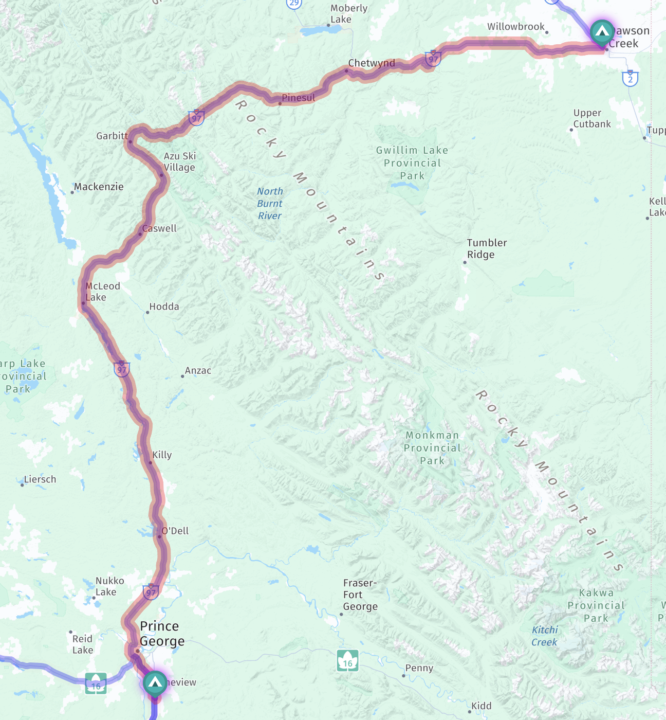
We drove our coach 263 miles / 423 km, about five hours of driving, from MamaYeh RV Park & Campground near Prince George to Mile 0 Park in Dawson Creek, British Columbia, Canada.

Here’s a map showing our route, heading north then east:

Route map

An interactive map, with potential stops pinned:

Leaving MamaYeh RV Park:

Leaving MamaYeh RV Park

Prince George’s mascot:

Prince George's mascot

Hart Highway:

Hart Highway

Paladin sitting on the couch:

Paladin sitting on the couch

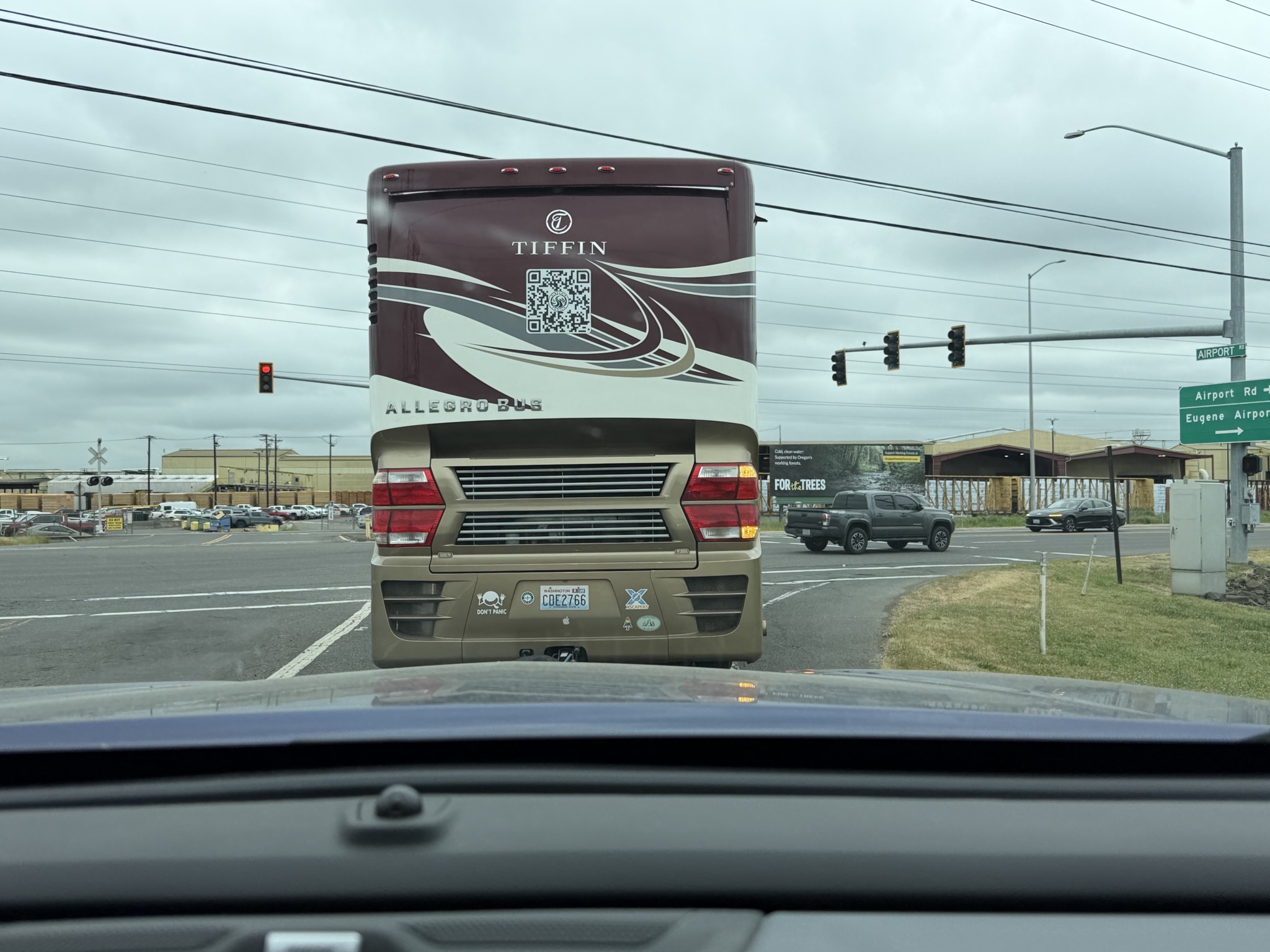
A newer Tiffin Allegro Bus:

A newer Tiffin Allegro Bus

Snowy mountains:

Snowy mountains

Bears!

Bears!

Bears!

A stop at Bijoux Falls:

Bijoux Falls

Bijoux Falls

Bijoux Falls

Snowy mountains:

Snowy mountains

Snowy mountains

Snowy mountains

We stopped at Azouzetta Lake Lodge for lunch:

Azouzetta Lake Lodge stop for lunch

Azouzetta Lake Lodge stop for lunch

Azouzetta Lake Lodge stop for lunch

Chetwynd has lots of chainsaw carvings:

Chetwynd has lots of chainsaw carvings

Chetwynd has lots of chainsaw carvings

Pine River bridge:

Pine River bridge

Welcome to Dawson Creek:

Welcome to Dawson Creek

Arriving at Mile 0 Park:

Mile 0 Park

Campground map:

Map

Our site, #36:

Our site

Our site

Our site

Our site

Very unlevel:

Very unlevel

They had just finished making our site somewhat more level (I hate to think how bad it was before), and were working on the neighboring site when we arrived:

Working on the neighboring site

Other sites:

Other sites

Other sites

70 Mile House to MamaYeh RV Park & Campground near Prince George, British Columbia

We drove our coach 206 miles / 332 km, about four hours of driving, from a boondocking spot in the parking lot of Mount Begbie Fire Lookout near 70 Mile House to MamaYeh RV Park & Campground near Prince George, British Columbia, Canada.

Here’s a map showing our route, heading north:

Route map

An interactive map, with potential stops pinned:

Begbie Summit elevation 1232 m (4041 ft):

Begbie Summit elevation 1232 m (4041 ft)

Barn and 130 Mile Lake:

Barn and 130 Mile Lake

Williams Lake rest area:

Williams Lake rest area

Turn to Prince George:

Turn to Prince George

Interesting rocks:

Interesting rocks

Bridge over Quesnel River:

Bridge over Quesnel River

River and BC-97 highway:

River and BC-97 highway

Arriving at MamaYeh RV Park & Campground:

MamaYeh RV Park

MamaYeh RV Park

MamaYeh RV Park

Campground map:

Map

RV park playground:

Playground

Our site, #1:

Our site

Not particularly level:

Not particularly level

But very long:

Our site

Our site

Our site

Our site

That evening we went into Prince George for dinner at A&W:

A&W

A&W

Root beer in frosty mugs, grass-fed beef burgers, and fries; all very tasty:

A&W

Back to our site:

Our site

Lynden, Washington, USA to a boondocking spot in the parking lot of Mount Begbie Fire Lookout, 70 Mile House, British Columbia, Canada

On our way towards Alaska, we entered Canada! Oh, so full of hope and plans for the next three months.

We drove our coach 238 miles / 383 km, about five hours of driving, from Lynden / Bellingham KOA in Lynden, Washington, USA to a boondocking spot in the parking lot of Mount Begbie Fire Lookout, 70 Mile House, British Columbia, Canada.

Here’s a map showing our route, heading north:

Route map

An interactive map, with potential stops pinned:

Canadian Border Inspection:

Canadian Border Inspection

Canadian Border Inspection

Canadian Border Inspection

Welcome to British Columbia, Canada:

Welcome to British Columbia, Canada

Maximum 100 km/h:

Maximum 100 km/h

Trans-Canada 1 East:

Trans-Canada 1 East

Circle Route British Columbia Heritage Discovery:

Circle Route British Columbia Heritage Discovery

Welcome to Hope, BC:

Welcome to Hope, BC

Yale rest area:

Yale rest area

Yale Tunnel:

Yale Tunnel

Saddle Rock Tunnel:

Saddle Rock Tunnel

Saskatchewan train:

Saskatchewan train

Sailor Bar Tunnel:

Sailor Bar Tunnel

Spuzzum Tunnel:

Spuzzum Tunnel

Spuzzum Tunnel

Two tunnels in quick succession:

Two tunnels in quick succession

Two tunnels in quick succession

China Bar Tunnel:

China Bar Tunnel

Wildlife Corridor:

Wildlife Corridor

Thompson River:

Thompson River

We attempted to fuel at a Esso card lock pump, using our Open Roads fuel card, but it didn’t work:

Esso card lock fuel attempt

A little later, we had better success at a regular Wesco diesel pump, albeit having to do three separate $250 transactions (yes, our coach takes a lot of fuel); fueling our coach was an ongoing hassle in Canada:

Wesco fuel stop

Arriving at the boondocking spot:

Boondocking spot

Welcome to Mount Begbie Lookout:

Welcome to Mount Begbie Lookout

Our boondocking spot, where we spent the night with no hookups:

Our boondocking spot

After breakfast the next morning, we walked on the trail up the mountain:

Trail up the mountain

View partway up:

View partway up

Cell tower at the top:

Cell tower at the top

Lake view:

Lake view

Fire watch tower:

Fire watch tower

Fire watch tower

Fire watch tower

Fire watch tower

Fire watch tower

Fire watch tower

Back to our coach:

Back to our coach

There’s a larger area below where we parked, but it wasn’t very level:

There's a larger area below where we parked, but it wasn't very level

Our boondocking site

Our boondocking site

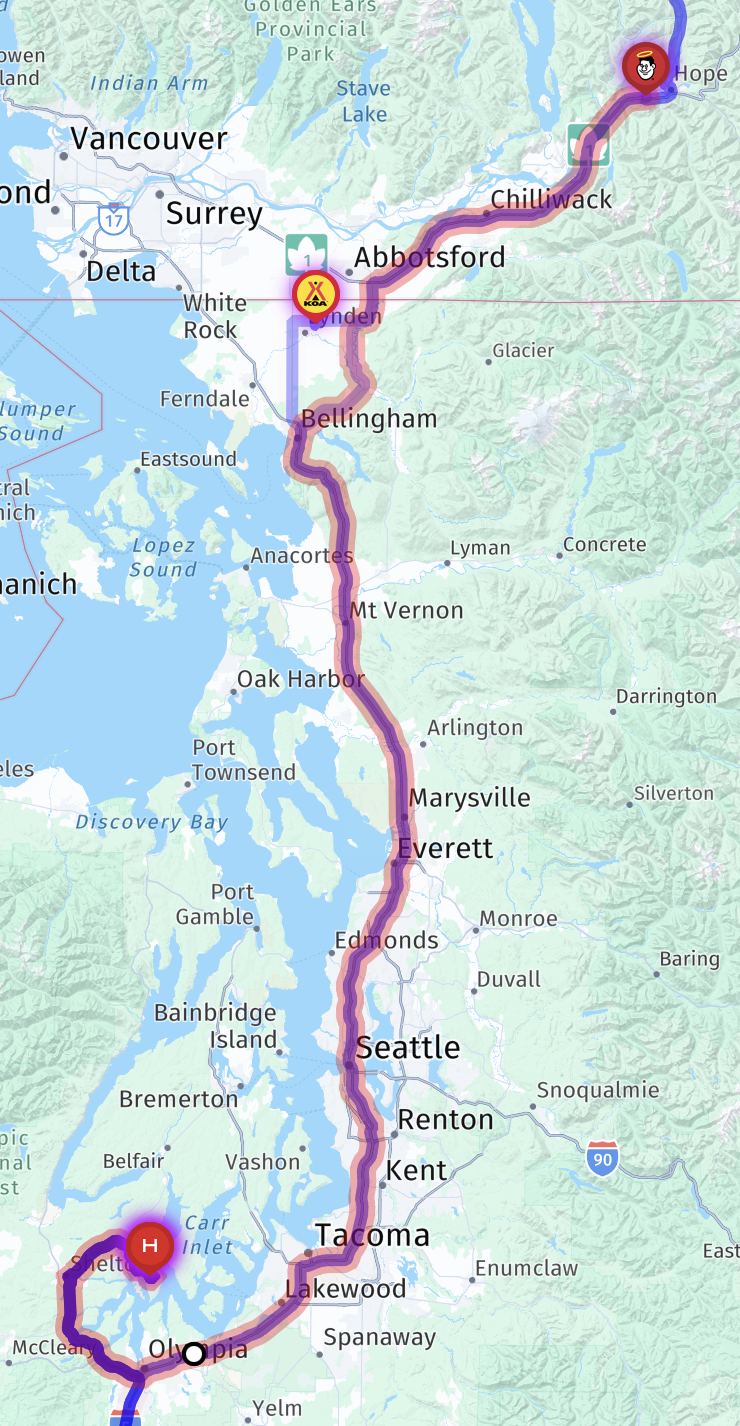
Shelton to Lynden / Bellingham KOA in Lynden, Washington

We were on our way to Alaska! (Or so we thought.) Our first leg was to get just south of the border with Canada.

We drove our coach 206 miles, about four hours of driving, from our home base near Shelton to Lynden / Bellingham KOA in Lynden, Washington.

Here’s a map showing our route, heading north:

Map

An interactive map, with potential stops pinned:

Oakland Bay near Shelton:

Oakland Bay near Shelton

Joining I-5 North:

Joining I-5 North

Tacoma Dome:

Tacoma Dome

Rest area with RV dump stations:

Rest area with RV dump stations

Rest area… with a clueless car and a van in the truck parking:

Rest area... with a clueless car in the truck parking

Lunch:

Lunch

Seattle skyline:

Seattle skyline

T-Mobile Park, home of our Seattle Mariners, with a closed roof:

T-Mobile Park, home of our Seattle Mariners, with closed roof

Heavy traffic:

Heavy traffic

Tunnel under convention center:

Tunnel under convention center

Zuck’s megayacht:

Zuck's megayacht

Rest area:

Rest area

I-5 bridge over Skagit River:

I-5 bridge over Skagit River

Almost a collision:

Almost a collision

Arriving at Lynden / Bellingham KOA:

KOA

Narrow driveway:

KOA pond

Our site, #6:

Our site

Our site

Our site

The site was so short, we had to park our truck over by the office (I think the first time we ever had to do that):

Truck parking

Coburg, Oregon to our home base near Shelton, Washington

We drove our truck from home down to Cummins, then drove our coach back home on the same day; 255 miles (each way), about five hours of driving (each way), from Cummins Coach Care in Coburg, Oregon to our home base near Shelton, Washington… again.

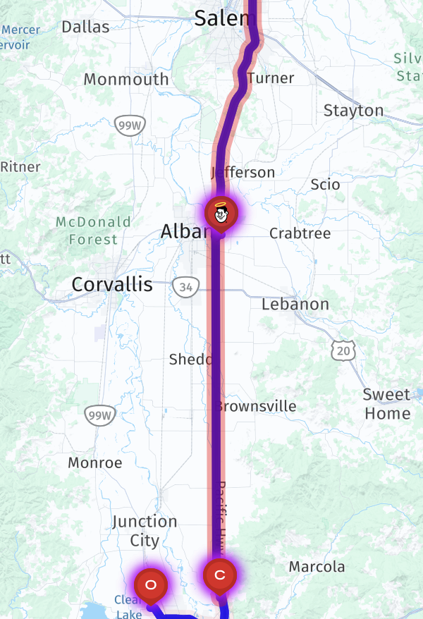
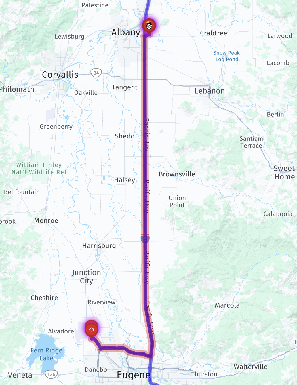
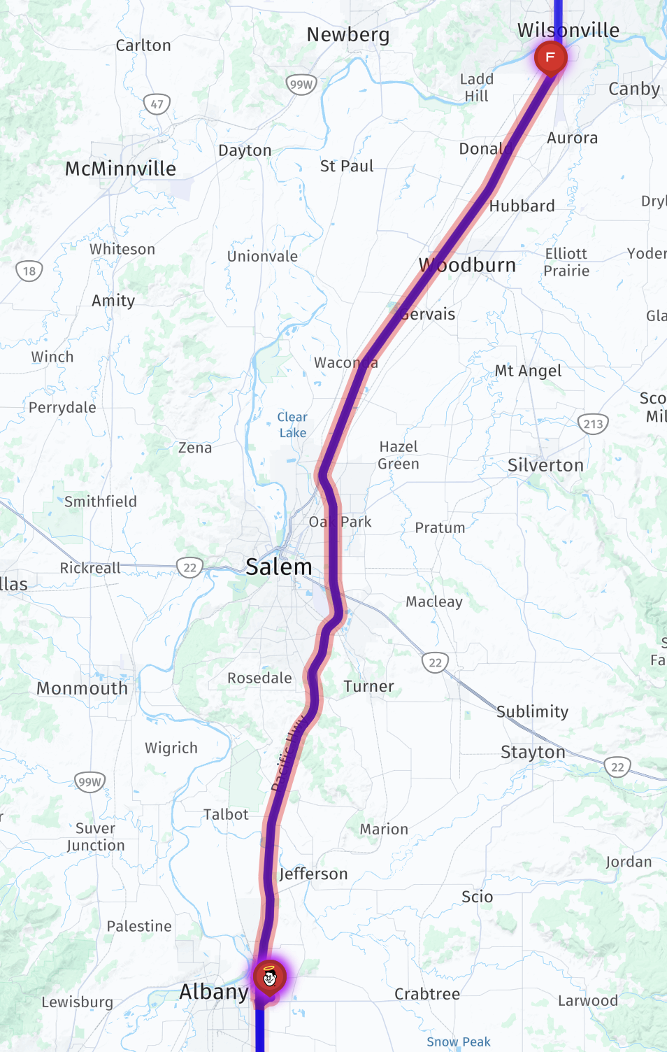
Here’s a map showing our route home, heading north:

Route map

An interactive map, with potential stops pinned:

Our coach:

Our coach

Departing Cummins:

Departing Cummins

I-5 North:

I-5 North

Oops:

Oops

We stopped at the first rest area again, to see if the issue recurs… fortunately it did not; looks like the turbo replacement was the real fix:

We stopped at the first rest area again, to see if the issue recurs

Triple trailer:

Triple trailer

Exit to I-205 North:

Exit to I-205 North

The mountain’s out — Mount Hood:

The mountain's out: Mount Hood

Leaving Portland:

Leaving Portland

Mount Hood again:

Mount Hood again

“Oregon Thanks You; Come Back Soon”; not for a few months, thanks:

Oregon Thanks You; Come Back Soon

Just can’t get enough of Mount Hood:

Mount Hood

Mount Hood

Closed rest area:

Closed rest area

Back to Gee Cee’s Truck Stop again:

Gee Cee's Truck Stop

This time, we got fuel:

Gee Cee's Truck Stop fuel

Fuel

And DEF:

DEF

Then we went into their restaurant for dinner:

Restaurant

Restaurant

A long day; getting towards sunset:

Getting towards sunset

Exit towards Shelton:

Exit towards Shelton

Shelton:

Shelton

Shelton

Our coach at home:

Our coach at home

Our coach at home

Our coach at home

Our coach at home

Coburg heading north, then back to Coburg, Oregon

We drove our coach 113 miles, about two hours of driving, from Cummins Coach Care in Coburg, Oregon towards our our home base, but turned around in Salem when the Check Engine and MIL lights came back on with the same error code.

Here’s a map showing our route, heading north then back south:

Route

An interactive map, with the rest area pinned:

Our coach backing into a Coach Care service bay:

Our coach backing into a Coach Care service bay

We spent the day in the customer lounge:

Customer lounge

Customer lounge

We spent the day in the customer lounge

Bathroom

Second breakfast at Chick-fil-A:

Second breakfast at Chick-fil-A

We parked our truck behind the lounge, and turned on our smaller Bluetti battery, so we could use our truck’s Starlink Wi-Fi (the Wi-Fi in the lounge was not very fast):

Parked our tuck behind the lounge, and turned on the Bluetti battery, so we could use our Starlink Wi-Fi

Our coach emerging:

Our coach emerging

Parked for the night:

Parked for the night

Doing an engine regen:

Doing a regen

Heading out again, full of hope:

Heading out again, full of hope

We stopped at a rest area, to see if that triggers the issue, as it had before:

Stopped at a rest area to see if that triggers the issue

Alas, it did:

It did

So we turned around at the next exit, and headed back to Cummins:

So we turned around at the next exit, and headed back to Cummins

Back to Cummins

Back to Cummins

We stayed the night again, then had Dutch Bros Coffee for breakfast while they looked at the coach again:

Dutch Bros Coffee

And later, went to the cafe at the nearby truck stop to have breakfast for lunch:

Breakfast for lunch

Breakfast for lunch

Breakfast for lunch

Breakfast for lunch

That afternoon, we had more news: the engine’s turbocharger was damaged (which I had suspected based on Facebook posts). The tech showed a scope shot of the damaged turbo:

Scope of damaged turbo

So, this repair just got way more expensive; about $11k to replace that and the actuator, including labor. Sigh. But at least they finally found the root issue!

We left our coach there, and drove our truck home, while they ordered in the part, and did the work.