Travel from Red Bluff to Manteca, California

We drove our coach 194 miles, about four hours of driving, from Red Bluff, California to Manteca, California.

Here’s a map showing our route, heading south:

Route map

An interactive map:

Rice field:

Rice field

Rest area:

Rest area

U-Haul towing a U-Haul:

U-Haul towing a U-Haul

Yolo:

Yolo

Another rice field:

Rest area

Bridge over rice field

Rest area:

Rest area

Paladin sat on the dash for a minute:

Paladin on the dash

Sacramento:

Sacramento

Lots of tomatoes on the side of the road:

Lots of tomatoes on the side of the road

From trucks like this:

From trucks like this

Sharp curve:

Sharp curve

Roadworks; what kind of crazy road designers would make such narrow main roads? No room for bike lanes or expansion:

Roadworks

Lots of low trees scraped our roof:

Low trees

Arriving at Thousand Trails Turtle Beach:

Thousand Trails Turtle Beach

Info sign, with arrival packets; someone came along and told us an available site, too:

Info sign

Our site:

Our site

Travel from Ashland, Oregon to Red Bluff, California

We drove our coach 165 miles, about four hours of driving, from Ashland, Oregon to Red Bluff, California.

Here’s a map showing our route, heading south:

Route map

An interactive map:

Goodbye super-low Emigrant Lake:

Emigrant Lake

Joining I-5, with lots of wildfire smoke:

Joining I-5

“Long steep downgrade ahead”:

Long steep downgrade ahead

“Siskiyou Mountain Summit elevation 4,310 feet, highest elevation on I-5”:

Siskiyou Mountain Summit elevation 4,310 feet, highest elevation on I-5

“Oregon thanks you, come back soon”:

Oregon thanks you, come back soon

“Welcome to California”:

Wlecome to California

A glimpse of Mount Shasta in the background:

Mount Shasta view

Agricultural inspection station, unstaffed when we went through:

Agricultural inspection station

Mount Shasta view:

Mount Shasta view

Mount Shasta view

Rest area with RV parking:

Rest area with RV parking

Roadworks:

Roadworks

Shasta Lake:

Shasta Lake

Shasta Lake

For comparison, a view of the lake when we last went past here in 2021, quite a lot lower:

Low water level

Fuel stop:

Fuel stop

The pump said “Dispenser Reserved”, so should have been blocked off; we had to pull around to another pump:

Dispenser Reserved

Our destination:

Our destination

Our destination

Our site:

Our site

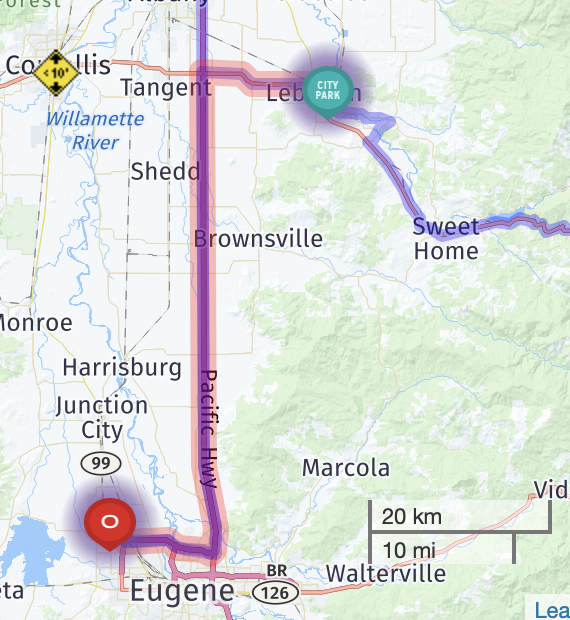
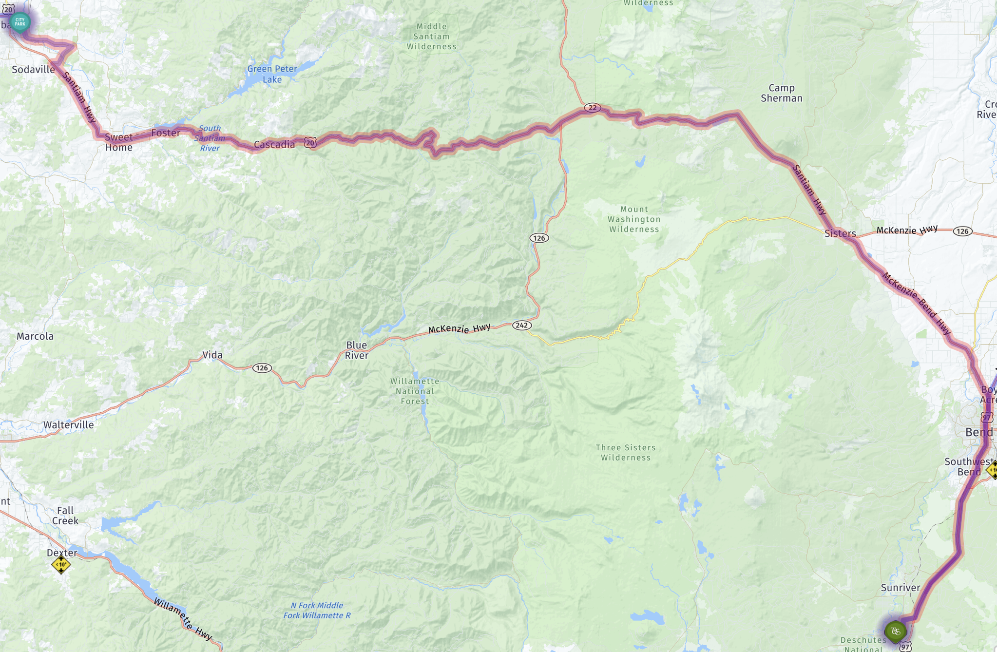
Travel from Welches, Oregon to Ashland, Oregon

We drove our coach 321 miles, about six hours of driving, from Welches to Ashland, Oregon.

Here’s a map showing our route, heading south:

Map

An interactive map:

Toading up in the maintenance area, as usual:

Toading up

“Welcome to Boring, Paired with Dull, Scotland”:

Welcome to Boring

Our favorite garden center in the Sandy area, Tony’s:

Tony's Garden Center

Willamette River:

Willamette River

Joining I-5 South, with heavy traffic:

Joining I-5 South

Rest area:

Rest area

I-5 South:

I-5 South

Lunch stop at Coburg Crossing Cafe at a TA Travel Center in Coburg, Oregon:

Coburg Crossing Cafe

Coburg Crossing Cafe menu

Breakfast for lunch

Rail bridge over North Umpqua River:

Rail bridge over North Umpqua River

“Slow Down” for a sharp curve:

Slow Down

Rest area:

Rest area

Nice Southern Oregon view:

Nice view

A glimpse of Mount Shasta from I-5 South:

Glimpse of Mount Shasta from I-5 South

A glimpse of downtown Ashland:

Glimpse of downtown Ashland

Emigrant Lake entrance:

Emigrant Lake entrance

The lake was very low (and has been for a long time):

Emigrant Lake

Unstaffed fee station (campers continue to site):

Emigrant Lake entrance

Entrance to The Point RV Campground (with a disconcertingly tight corner):

The Point RV Campground

Our site:

Our site

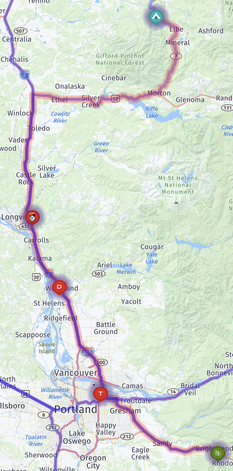
Travel from Shelton, Washington to Welches, Oregon

We drove our coach 187 miles, about four hours of driving, from Shelton, Washington to Welches, Oregon.

Here’s a map showing our route, heading south:

Route map

An interactive map:

A bay near Shelton:

Bay near Shelton

I-5 South:

I-5 South

Rest area:

Rest area

Another rest area:

Rest area

Deer next to the freeway entrance:

Deer next to freeway entrance

I-5 bridge:

I-5 bridge

Roadworks on another I-5 bridge, which caused major traffic delays:

Roadworks on I-5 bridge

Yet another rest area:

Rest area

Entering Oregon:

Entering Oregon

PDX airport across Columbia River:

PDX airport across Columbia River

Welcome to Oregon:

Welcome to Oregon

A glimpse of Mount Hood:

Glimpse of Mount Hood

Arriving at Mt Hood Village:

Mt Hood Village

Campground

Our site:

Our site

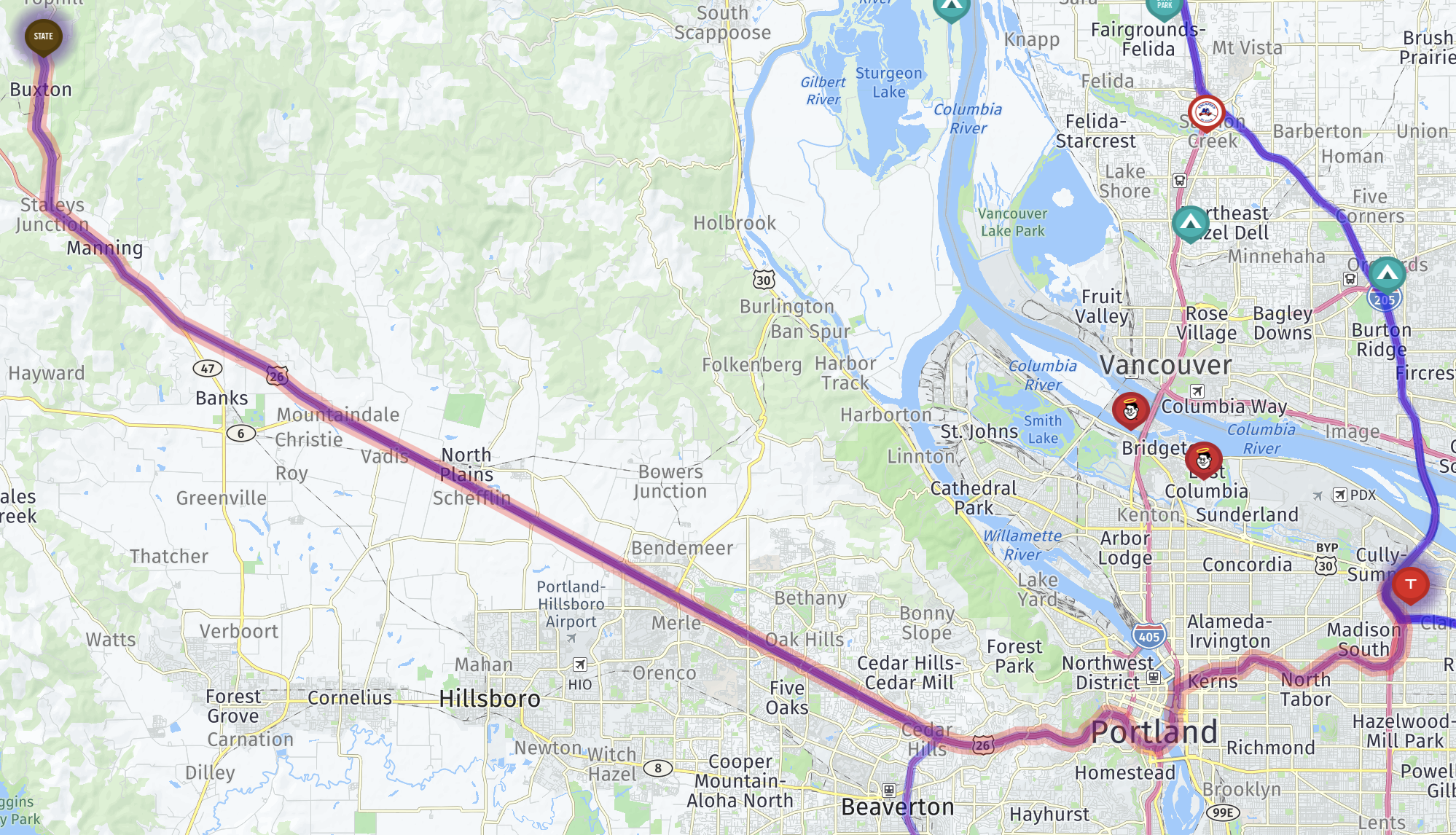
Travel from Quincy to Shelton, Washington

We drove our coach 248 miles, about 4 hours of driving, from Quincy, Washington to Shelton, Washington.

Here’s a map showing our route, heading west (with exact destination omitted, for privacy):

Route map

An interactive map:

Columbia River:

Columbia River

Upside-down vehicle:

Upside-down vehicle

Eastern Washington hills:

Eastern Washington hills

Columbia River:

Columbia River

Vantage Bridge over Columbia River:

Columbia River bridge

Columbia River

Rest area:

Rest area

Truck with corn:

Truck with corn

Wildlife bridge:

Wildlife bridge

I-90 along Keechelus Lake:

I-90 along Keechelus Lake

Guye Peak:

Guye Peak

Fuel stop:

Fuel stop

Joining I-5 South:

Joining I-5 South

Tacoma Dome:

Tacoma Dome

Heading into Shelton:

Shelton

Narrow bridge entering Shelton:

Shelton

(Probably the last time we go this way; we found an easier route.)